The best mountain hikes around Hiltpoltstein
4.8
(5)
20
hikers
9
hikes
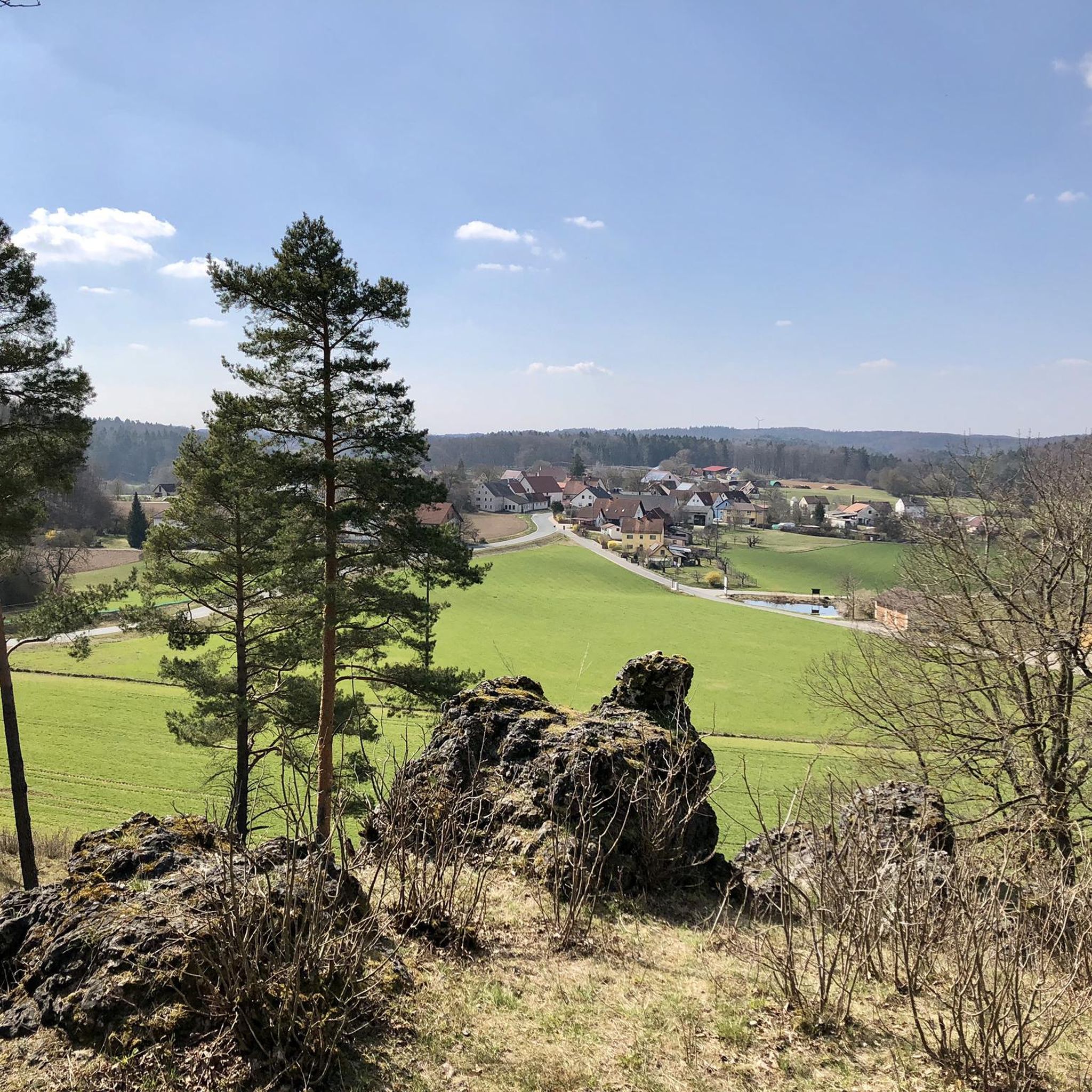
Mountaineering routes around Hiltpoltstein traverse a landscape characterized by picturesque hills and striking rock formations within the Franconian Switzerland-Veldenstein Forest Nature Park. The region features diverse terrain, including valleys, forests, and unique geological formations like dolomite crags. These natural features provide varied experiences for outdoor enthusiasts.
Best mountaineering routes around Hiltpoltstein
- The most popular mountaineering route is Eibgrat – Tanzlinde Spies loop from Burgruine Riegelstein, a difficult 4.2 miles (6.8 km) trail that takes about 2 hours to complete.…
Last updated: August 19, 2026
5.0
(2)
4
hikers
4.06km
01:11
110m
110m
Hard mountaineering route. Great for any fitness level. Sure-footedness, sturdy shoes and alpine experience required.
1
hikers
6.75km
01:59
160m
160m
Hard mountaineering route. Great for any fitness level. Sure-footedness, sturdy shoes and alpine experience required.

Sign up for free
5.0
(1)
4
hikers
6.80km
01:59
190m
190m
Moderate mountaineering route. Great for any fitness level. Mostly accessible paths. Sure-footedness required.
1
hikers
5.15km
01:30
130m
130m
Easy mountaineering route. Great for any fitness level. Easily-accessible paths. Suitable for all skill levels.
4.0
(1)
5
hikers
16.3km
04:36
340m
340m
Moderate mountaineering route. Good fitness required. Mostly accessible paths. Sure-footedness required.
Get access to more routes and recommendations from other explorers.
Sign up for free
Already have an account?
Our route recommendations are based on thousands of hikes, rides, and runs completed by other people on komoot.
Start today with a free account
Your next adventure awaits.
Login or Signup

Tips from the Community

The remains of a Baroque monastery complex in the center of Weißenohe can be seen from afar. The recently renovated monastery church of St. Boniface towers over the village with its 45-meter-high tower. The monastery can look back on a turbulent history. Due to its geographical location – Weißenohe and its monastery belonged to the "Upper Palatinate" for almost its entire 750-year existence – it protruded like an alien body into the territory of the "Free Imperial City of Nuremberg." At times, it was even completely separated from the Upper Palatinate. Nuremberg therefore left no stone unturned to assert its mostly unjustified claims over the centuries. The clergy, especially the Bishop of Bamberg, also repeatedly attempted to exert their influence, including in secular terms. Construction of the present monastery church began in 1692. The plans were drawn up by Wolfgang Dietzenhofer (1648–1706), a member of the famous Upper Bavarian family of master builders. On St. Boniface's Day in 1707, the church was solemnly consecrated by Bamberg's Auxiliary Bishop Johann Werner Schnatz. Source: https://www.weissenohe.de/klosterkirche/
1
0
The recently renovated monastery church of St. Boniface towers over the town with its 45-meter-high tower. The monastery can look back on a turbulent history.
1
0

There are also pubs here that are still open.
2
0
A beautiful town, this Gräfenberg.
2
0

Great market square with all the shops you need, a cafe, a fountain and various half-timbered houses
0
0

In my opinion the best path Connection Leutenbach and St. Moritz - mostly hidden in the woods with a few nice views on the Leutenbach valley and beyond
0
0


Just the right place for a break.
0
0
Frequently Asked Questions
How many mountaineering routes are available around Hiltpoltstein?
There are 10 mountaineering routes available around Hiltpoltstein, offering a range of experiences from easy to difficult. These routes traverse picturesque hills and striking rock formations within the Franconian Switzerland-Veldenstein Forest Nature Park.
What is the best time of year for mountaineering in Hiltpoltstein?
The Franconian Switzerland-Veldenstein Forest Nature Park is beautiful year-round. While specific climbing seasons aren't detailed, the region's diverse terrain makes it suitable for hiking and mountaineering during most of the year, with spring and autumn offering pleasant temperatures and vibrant scenery. Winter sports are also possible in nearby areas.
Are there any family-friendly mountaineering routes in the area?
Yes, Hiltpoltstein offers several routes suitable for families. For an easier option, consider the Moritz Spring – Kapuzinerfelsen Viewpoint loop from Leutenbach. This route is rated as easy and provides a pleasant experience for those looking for less strenuous ascents.
What kind of natural attractions can I expect to see along the routes?
The region is known for its unique geological formations, including dolomite crags and striking rock formations. You'll encounter picturesque hills, valleys like the 'Krummes Tal' (Crooked Valley), and dense woodlands. The area also features climbing rocks such as the 'Almoser Wand' and 'Juraelefant' near Schoßaritz, Möchs, and Almos.
Are there any circular mountaineering walks available?
Many of the routes around Hiltpoltstein are designed as circular walks, allowing you to start and end at the same point. An example is the Eibgrat – Tanzlinde Spies loop from Spies, which is a moderate 6.8 km trail offering varied terrain.
What are some notable landmarks or viewpoints near Hiltpoltstein?
Hiltpoltstein Castle, perched on a dolomite crag, is a significant historical landmark. You can also find several viewpoints offering panoramic vistas. For example, the Schmidberg Observation Tower and the Wichsenstein Rock Viewpoint are excellent spots to take in the Franconian Switzerland landscape.
What do other mountaineers enjoy most about the routes in Hiltpoltstein?
The routes in Hiltpoltstein are highly rated by the komoot community, with an average score of 4.6 stars from over 5 reviews. Mountaineers often praise the diverse terrain, the striking rock formations, and the beautiful views of the Franconian Switzerland landscape, especially along the Eibgrat ridge.
Are there options for more challenging mountaineering experiences?
Yes, Hiltpoltstein offers routes for more experienced mountaineers. The Eibgrat – Tanzlinde Spies loop from Burgruine Riegelstein is a difficult 6.8 km trail that explores the Eibgrat ridge, providing a more demanding ascent and rewarding views.
Is it possible to access the mountaineering areas using public transport?
While specific public transport details for trailheads are not provided, Hiltpoltstein is situated within the Franconian Switzerland-Veldenstein Forest Nature Park, which generally has some public transport connections to its towns and villages. It's advisable to check local bus schedules for access to specific starting points.
Where can I find parking for the mountaineering routes?
Many routes, especially circular ones, often have designated parking areas near their starting points in villages or at popular trailheads. For instance, routes like the Eibgrat loop from Eichenstruth would typically have parking available in or near Eichenstruth.
Are there any cafes or pubs near the mountaineering routes for refreshments?
Hiltpoltstein and the surrounding villages within the Franconian Switzerland-Veldenstein Forest Nature Park offer various local establishments. You can often find cafes and traditional pubs in the towns and villages near the trailheads, perfect for a refreshment after your mountaineering adventure.
Can I bring my dog on the mountaineering trails?
Generally, dogs are welcome on hiking and mountaineering trails in the Franconian Switzerland-Veldenstein Forest Nature Park. However, it's always recommended to keep them on a leash, especially in nature protection areas or when encountering wildlife or other hikers. Always check local regulations for specific routes.
Most popular routes around Hiltpoltstein
Most popular attractions around Hiltpoltstein

Get inspired with the komoot mobile app


Explore more
Browse the best Mountain Hikes & Routes in other regions.
