The best running trails around Ballycruttle
313
runners
27
runs
Jogging routes around Ballycruttle offer access to the diverse and scenic outdoor features characteristic of County Down. The region is known for its varied topography, including serene lakes, flowing rivers, and lush woodlands, providing a range of running experiences. Joggers can find routes along picturesque watersides and through tranquil forest settings. This area provides options for both gentle, paved running and more challenging trails with elevation changes.
Best jogging routes around Ballycruttle
- The most popular jogging route is Quoile River…
Last updated: June 29, 2026
3
runners
4.83km
00:32
30m
30m
Enjoy an easy 3.0-mile (4.8 km) jogging route along the scenic Quoile River, featuring 93 feet (28 metres) of elevation gain.
51
runners
11.5km
01:12
100m
100m
Moderate run. Good fitness required. Mostly paved surfaces. Suitable for all skill levels.

Sign up for free
26
runners
8.07km
00:51
50m
40m
Moderate run. Good fitness required. Mostly paved surfaces. Suitable for all skill levels.
9
runners
9.53km
01:00
60m
60m
Moderate run. Good fitness required. Mostly paved surfaces. Suitable for all skill levels.
10
runners
Moderate run. Good fitness required. Mostly paved surfaces. Suitable for all skill levels.
Get access to more routes and recommendations from other explorers.
Sign up for free
Already have an account?
Our route recommendations are based on thousands of hikes, rides, and runs completed by other people on komoot.
Start today with a free account
Your next adventure awaits.
Login or Signup
Popular around Ballycruttle

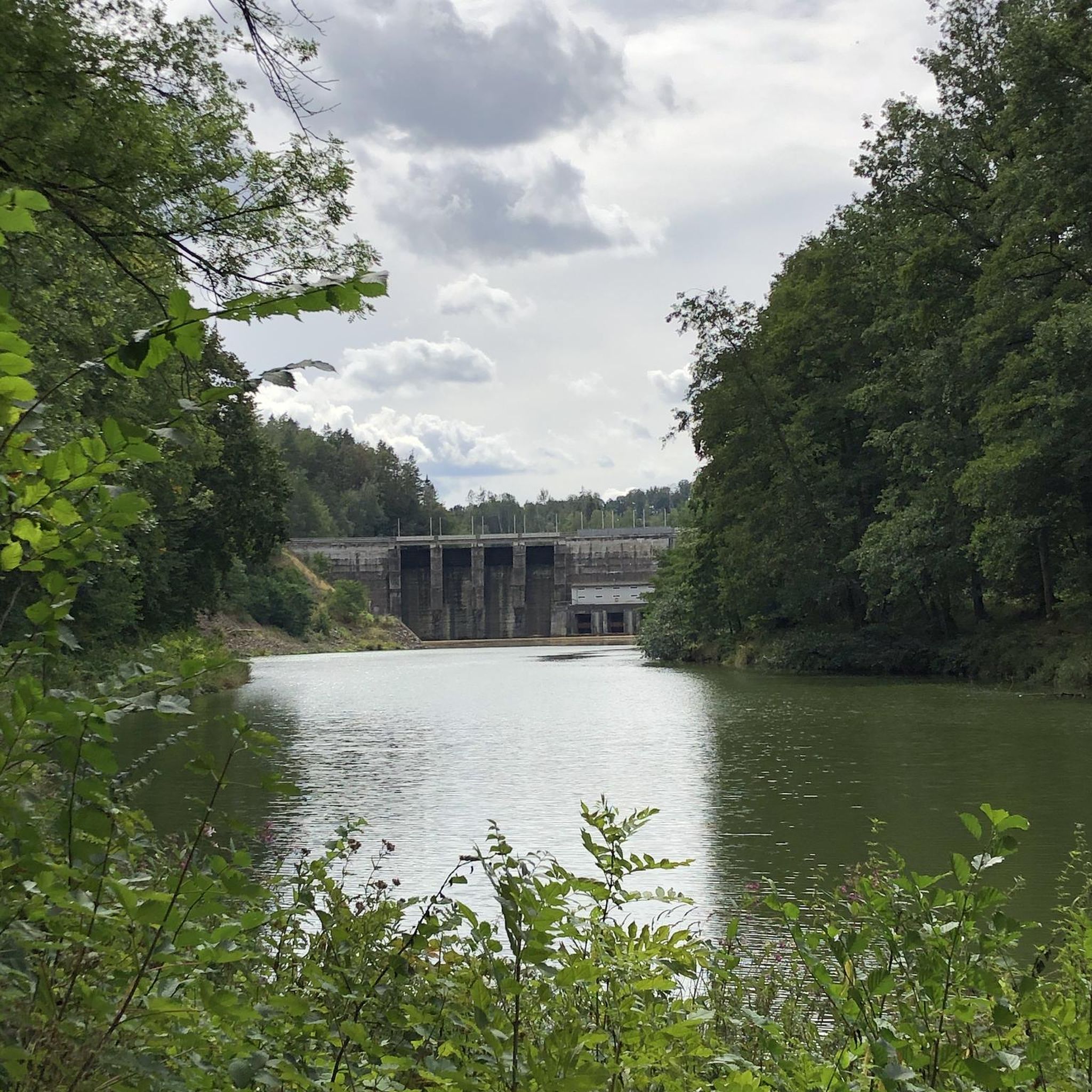
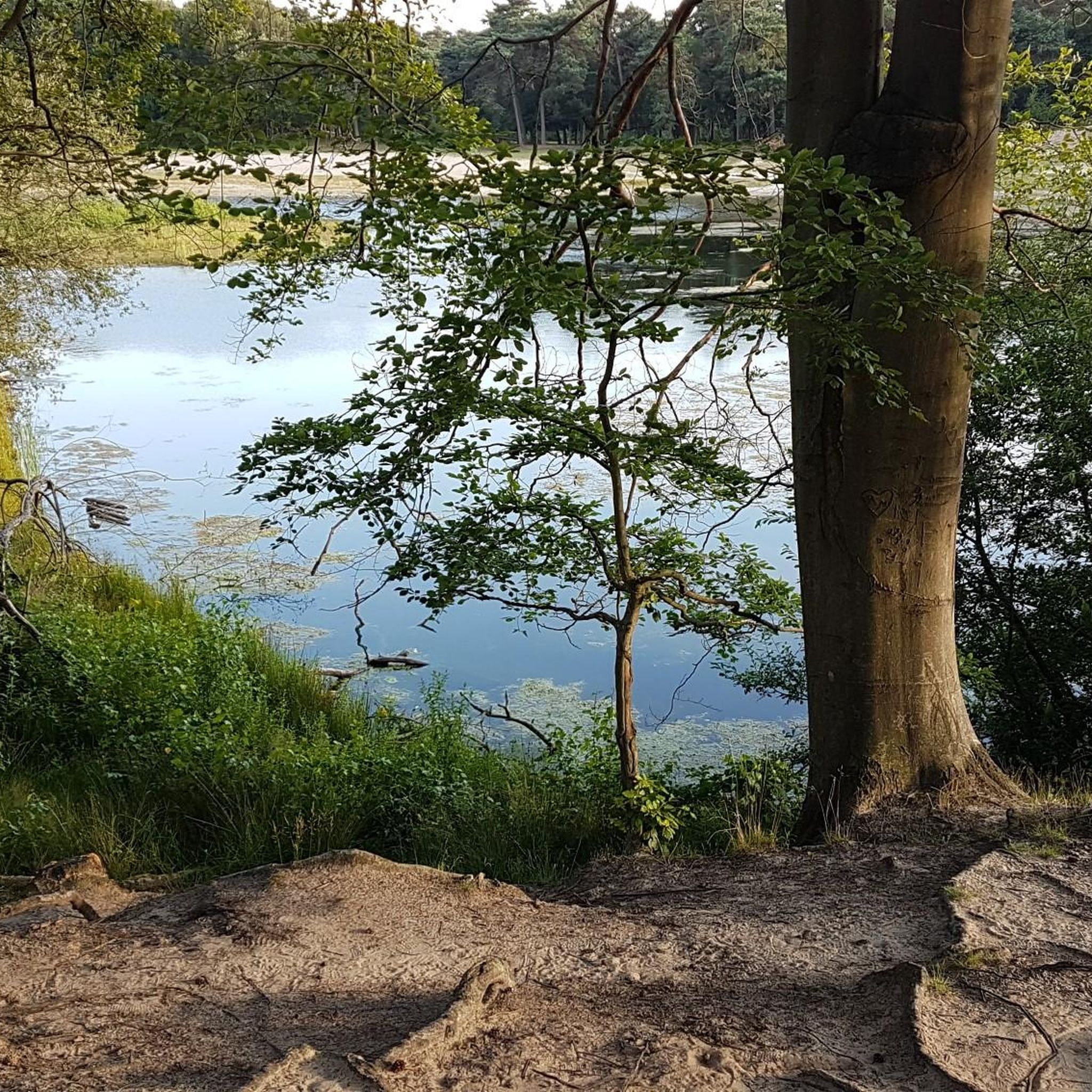
Tips from the Community

The rustling of the leaves under the tires and the fresh autumn air make the ride a sensual experience. Stopping here for a moment to take in the colors and the peace is simply a must. A little moment of slowing down before hitting the road again - pure autumn magic for cyclists!
0
0
When you cycle along the banks of this natural harbour, you immediately feel the special atmosphere of this place, which has been designated an Area of Outstanding Natural Beauty. The lough stretches an impressive 26 kilometres in length and impresses with over 365 small islands, many of which dry out at low tide. On your way you will repeatedly come across fascinating traces of long-gone cultures: from Mesolithic sites to Bronze Age remains to stone fish fences that were used by the early inhabitants for fishing. The Køkkenmøddinger are particularly interesting - shell heaps made of local oysters that have survived for thousands of years. There is a lot to discover in places like Mahee Island or Rough Island, and at low tide you can even reach Rough Island on foot. If you are up for a little effort, the climb up Scrabo Hill near Newtownards is worth it. From up there you have a magnificent view: Belfast stretches out to the west, the Mourne Mountains to the south, and on a clear day you can see the Ards Peninsula and even the Isle of Man. This hill has a long history - it has been inhabited since the Neolithic period. Strangford Lough is not only scenically beautiful, but also an exciting area for anyone interested in archaeology and history. Whether you are interested in nature or history, this tour around the lough is sure to be a memorable one.
1
0
The combination of the historic architecture of the manor house and the surrounding landscape is truly worth seeing.
1
0

Great place for a run along the coastline.
0
0

From this point on the Boundary Trail, you'll be treated to wondrous views of the Castle Ward Mansion from the left.
1
0
Sandwiched between Audleystown Road and Temple Water, this peaceful farmland known as West Park is an idyllic part of the Castle Ward area.
1
0
Best known for its role as "Winterfell" in Game of Thrones, Castle Ward is an 18th-century National Trust property located in Strangford. With its distinctive blend of classical and gothic styles, the castle and its estate grace the picturesque shores of Strangford Lough. Tours of the castle and estate are available year-round. For more information, visit: https://www.nationaltrust.org.uk/visit/northern-ireland/castle-ward
0
1
Strangford Lough, situated in County Down, is a generously sized sea lough that lies between the Irish Sea and the Ards Peninsula. The term 'Strangford' has its roots in Old Norse, specifically 'Strangr-fjërðr,' signifying a robust fjord, which accurately describes the swiftly flowing narrows at the lough's entrance.
0
0
Frequently Asked Questions
What kind of terrain can I expect on running routes around Ballycruttle?
The Ballycruttle area, situated in County Down, offers a diverse range of terrain for runners. You'll find everything from gentle, paved paths along rivers to more challenging trails with elevation changes through woodlands and scenic viewpoints. The region is known for its varied topography, including serene lakes, flowing rivers, and lush forests, providing a rich variety of running experiences.
Are there easy jogging routes suitable for beginners in Ballycruttle?
Yes, Ballycruttle offers several easy jogging routes perfect for beginners or those looking for a relaxed run. A great option is the Quoile River run, an easy 3.0-mile (4.8 km) trail that offers scenic views along the river with minimal elevation gain. There are 3 easy routes in total in the area.
Can I find longer, more challenging running trails near Ballycruttle?
Absolutely. For those seeking a greater challenge, the region provides moderate to difficult routes. An excellent choice is the Castle Ward – Audley's Castle loop from Portloughan, a moderate 8.9-mile (14.3 km) path that explores the historic Castle Ward estate and its surroundings. Overall, there are 26 moderate and 2 difficult routes available for more experienced runners.
Are there any family-friendly running paths in the Ballycruttle area?
Yes, many of the routes around Ballycruttle are suitable for families, especially those with gentler terrain. The picturesque waterside paths, such as sections of the Quoile River, are generally flat and offer a pleasant experience for all ages. Look for routes marked as 'easy' for the most family-friendly options.
What interesting landmarks or attractions can I see while jogging near Ballycruttle?
The Ballycruttle area is rich in historical and natural attractions. While running, you might encounter sights like Audley's Castle, a historic tower, or the impressive Castle Ward Tower, known as a filming location. The Audley's Castle – Audleystown Wood loop from Castle Ward is a great way to explore some of these historical sites.
Are there circular running routes available around Ballycruttle?
Yes, many of the running routes in the Ballycruttle area are designed as circular loops, allowing you to start and finish at the same point. For example, the River Quoile – Quoile Bridge loop from Downpatrick is a 6.9-mile (11.1 km) circular trail leading through scenic riverside landscapes.
What is the best time of year to go jogging in Ballycruttle?
County Down, where Ballycruttle is located, offers beautiful scenery year-round. Spring and autumn provide pleasant temperatures and vibrant landscapes, making them ideal for running. Summer is also popular, though it can be warmer. Even in winter, many routes are accessible, offering crisp air and unique views, but always check local weather conditions before heading out.
Are there any dog-friendly running trails in Ballycruttle?
Many of the natural trails and paths around Ballycruttle are suitable for running with dogs, provided they are kept under control, typically on a leash, and you follow local regulations regarding pet access. Areas like Tollymore Forest Park, a significant natural attraction in County Down, generally welcome dogs on their trails. Always check specific park or estate rules before visiting.
Where can I find parking near the running routes in Ballycruttle?
Parking is often available near popular trailheads and attractions in the wider Ballycruttle area. For instance, if you're exploring the Castle Ward estate, there's the Castle Ward Shore Car Park. It's advisable to check specific route details on komoot for parking information related to your chosen running path.
What do other runners enjoy most about the trails in Ballycruttle?
Runners using komoot frequently praise the varied topography and the beautiful natural settings of the Ballycruttle area. The mix of riverside paths, woodland trails, and routes exploring historic estates like Castle Ward are often highlighted. The region's ability to cater to different fitness levels, from easy riverside jogs to more challenging runs, is also a popular aspect.
Are there any running routes that offer views of water bodies?
Yes, the Ballycruttle area is characterized by its proximity to water bodies, including rivers like the Quoile and the expansive Strangford Lough. Routes such as the Quoile River run and the Quoile River View – Quoile Bridge loop from Downpatrick offer picturesque waterside views, providing a serene backdrop for your run.
How many running routes are available in total around Ballycruttle?
There are over 30 dedicated running routes available around Ballycruttle, as curated on komoot. This extensive network provides a wide array of choices for runners of all abilities, from short, easy jogs to longer, more challenging trails.
Most popular routes around Ballycruttle
Most popular attractions around Ballycruttle

Get inspired with the komoot mobile app


Explore more
Browse the best Running Trails & Routes in other regions.
