The best running trails around Waischenfeld
4.2
(87)
1,374
runners
61
runs
Jogging routes around Waischenfeld traverse the picturesque landscapes of Franconian Switzerland, an upland region known for its valleys, mountains, and distinctive rock formations. The town is situated in the Wiesenttal valley, offering varied terrain from relaxed river paths to more challenging ascents. Runners can explore a network of trails that wind through natural features and past historical landmarks. The region's geology, characterized by the Franconian Jura, provides a diverse backdrop for outdoor activity.
Best jogging routes around Waischenfeld
- The most…
Last updated: October 13, 2026
4.5
(10)
189
runners
Moderate run. Good fitness required. Mostly paved surfaces. Suitable for all skill levels.
5.0
(3)
108
runners
13.0km
01:49
460m
460m
Hard run. Very good fitness required. Sure-footedness, sturdy shoes and alpine experience required.

5.0
(2)
70
runners
31.0km
03:56
870m
870m
Hard run. Very good fitness required. Sure-footedness, sturdy shoes and alpine experience required.
4.2
(5)
87
runners
7.88km
00:50
90m
90m
Moderate run. Good fitness required. Mostly paved surfaces. Suitable for all skill levels.
5.0
(3)
58
runners
13.4km
01:24
120m
120m
Moderate run. Good fitness required. Mostly paved surfaces. Suitable for all skill levels.
Get access to more routes and recommendations from other explorers.
Already have an account?
Our route recommendations are based on thousands of hikes, rides, and runs completed by other people on komoot.
Start today with a free account
Your next adventure awaits.
Popular around Waischenfeld
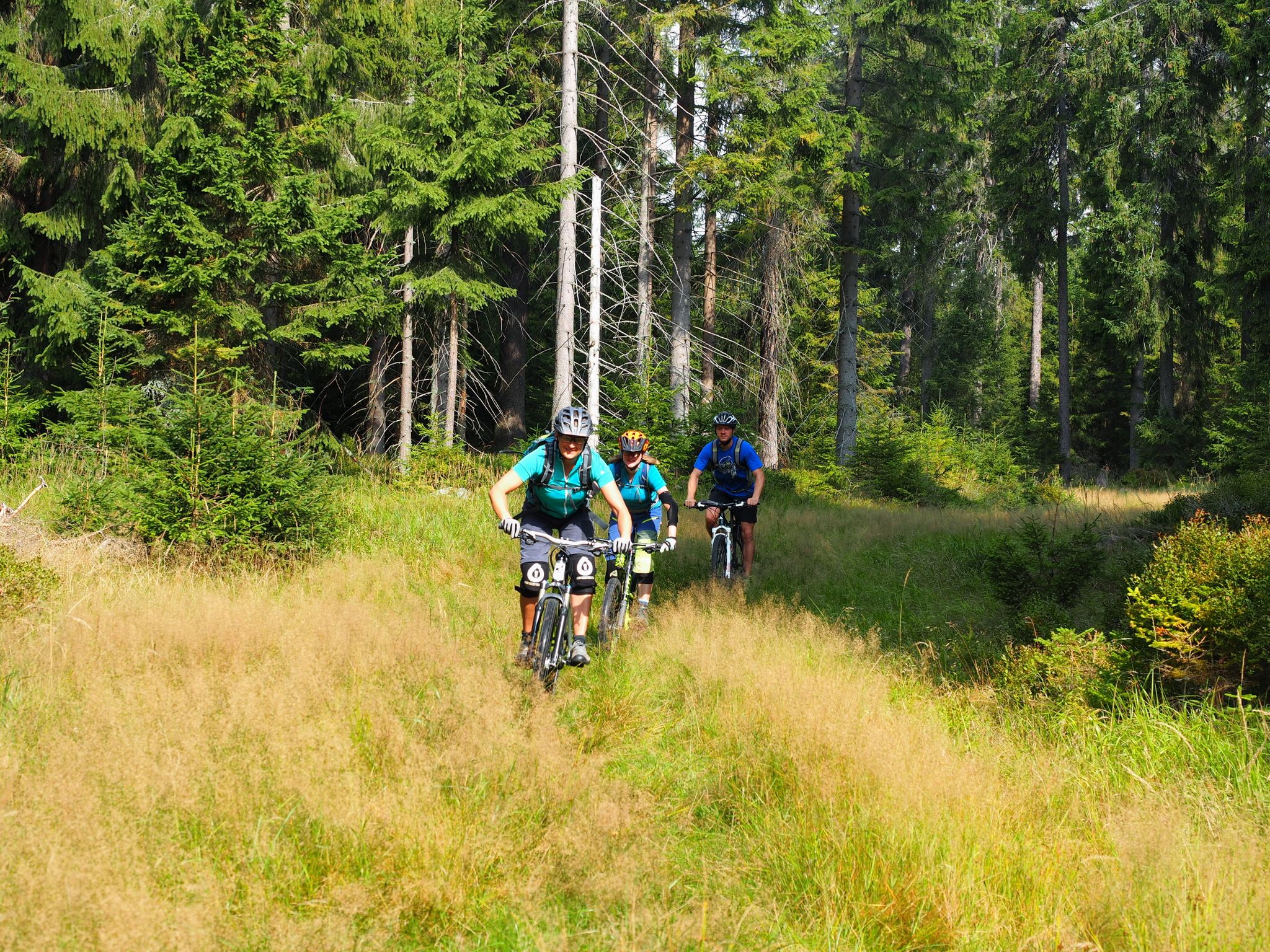
The best bike Tours around Nuremberg – MTB microadventures with the VGN
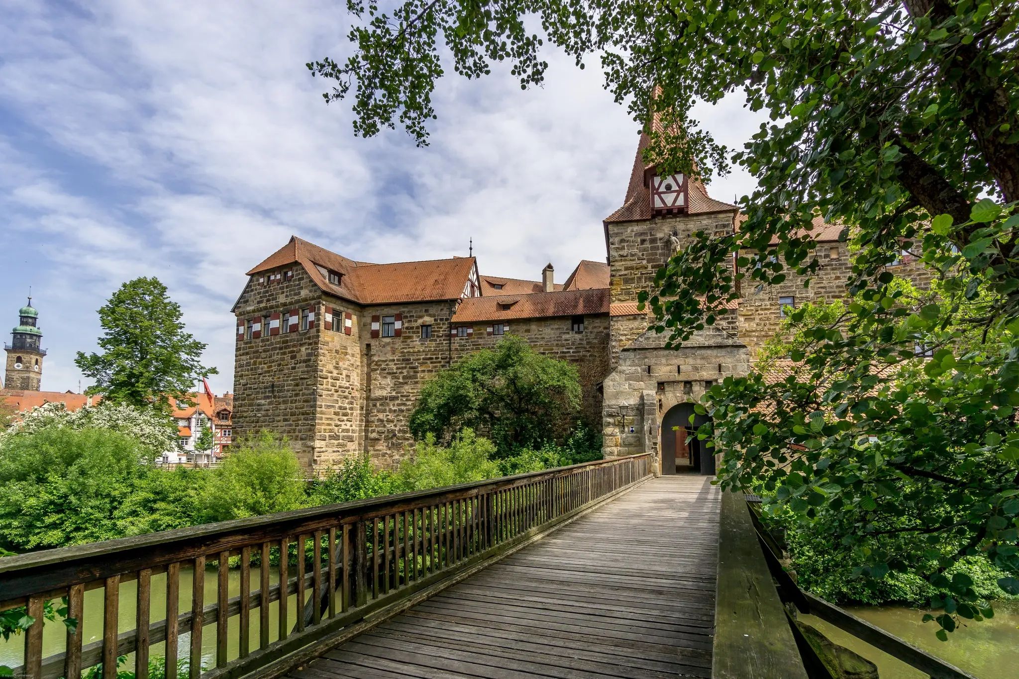
Romantik zwischen Mannheim und Bayreuth – CYCLE ROUTE Burgenstraße
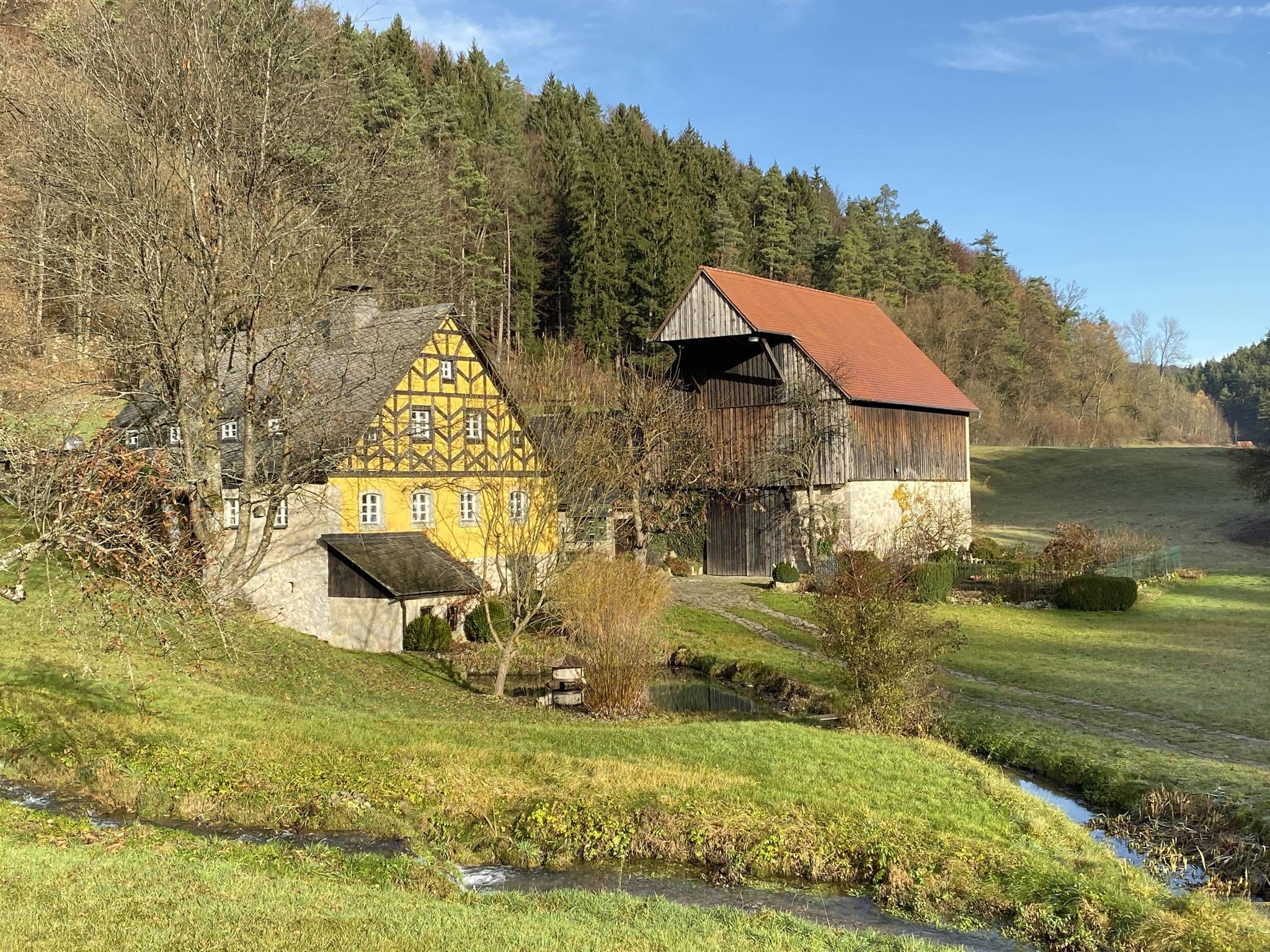
From the view to the Seidla – Nature and BeerEnjoyment in the Franconian Switzerland
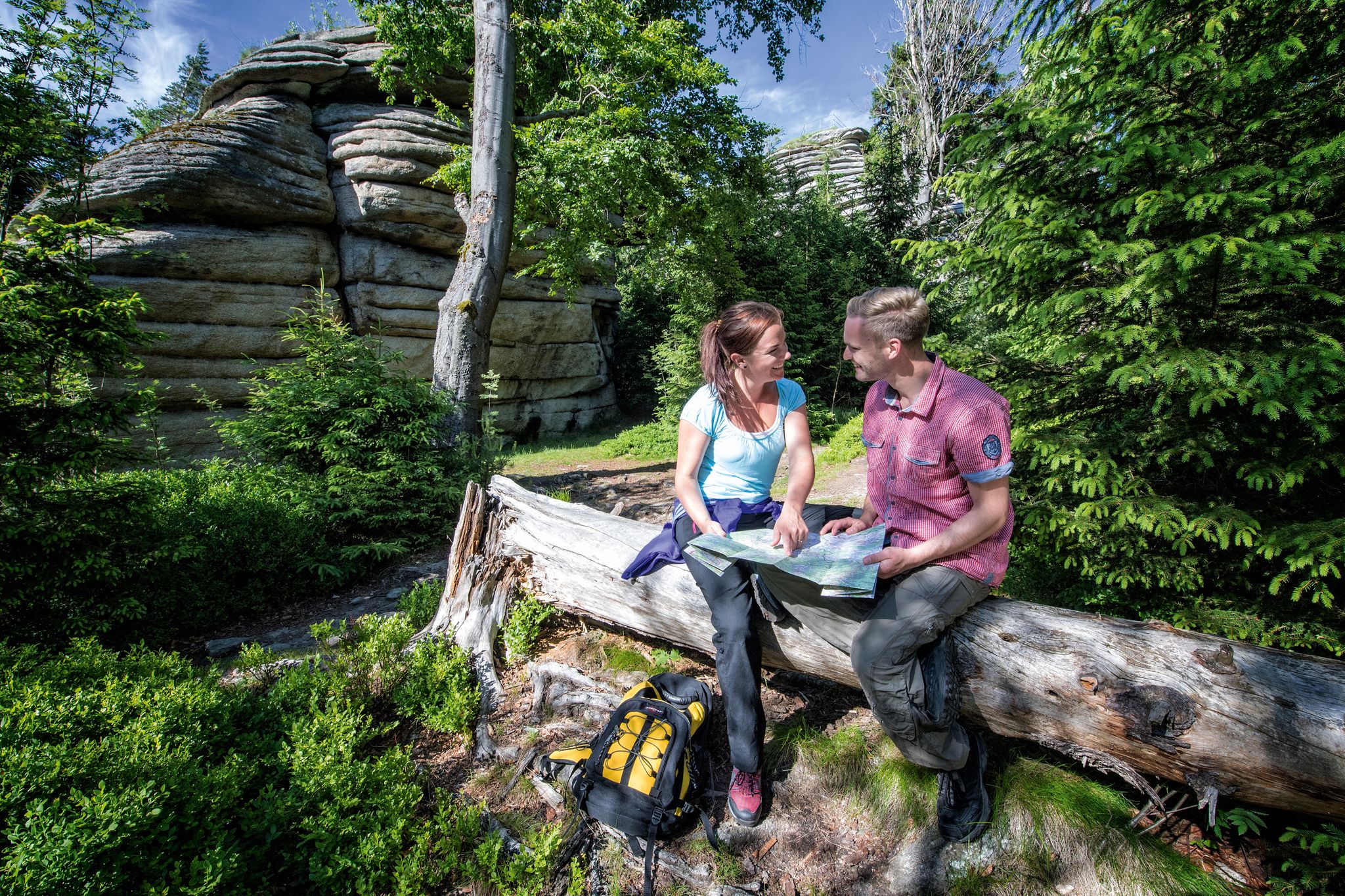
The Franconian Mountain Trail – 21 Stages of Magical Summit Bliss
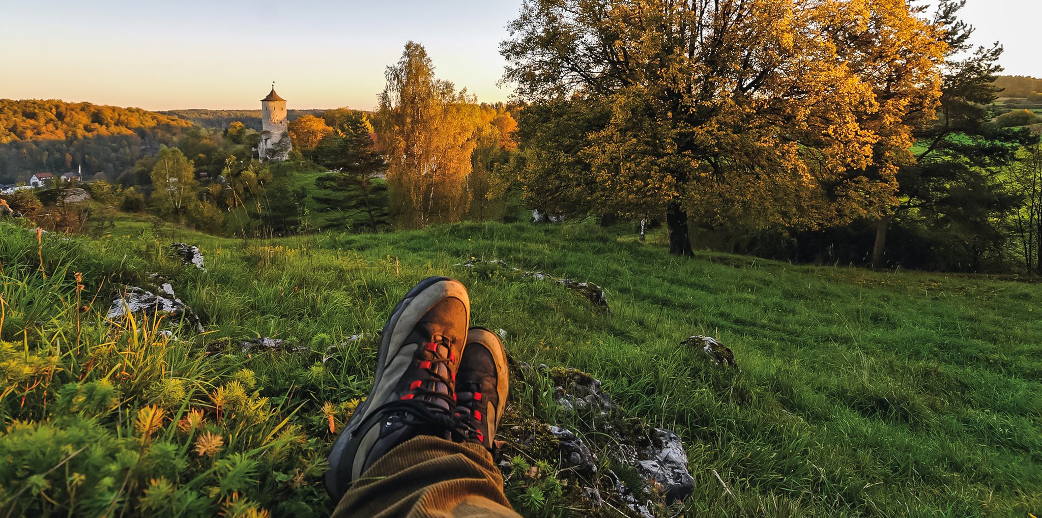
Breweries, hops & beer – Four days hiking in Franconian Switzerland
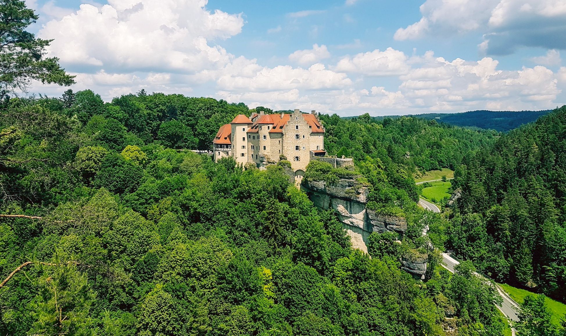
Hikes for tiny boots – VGN recreational activities for families
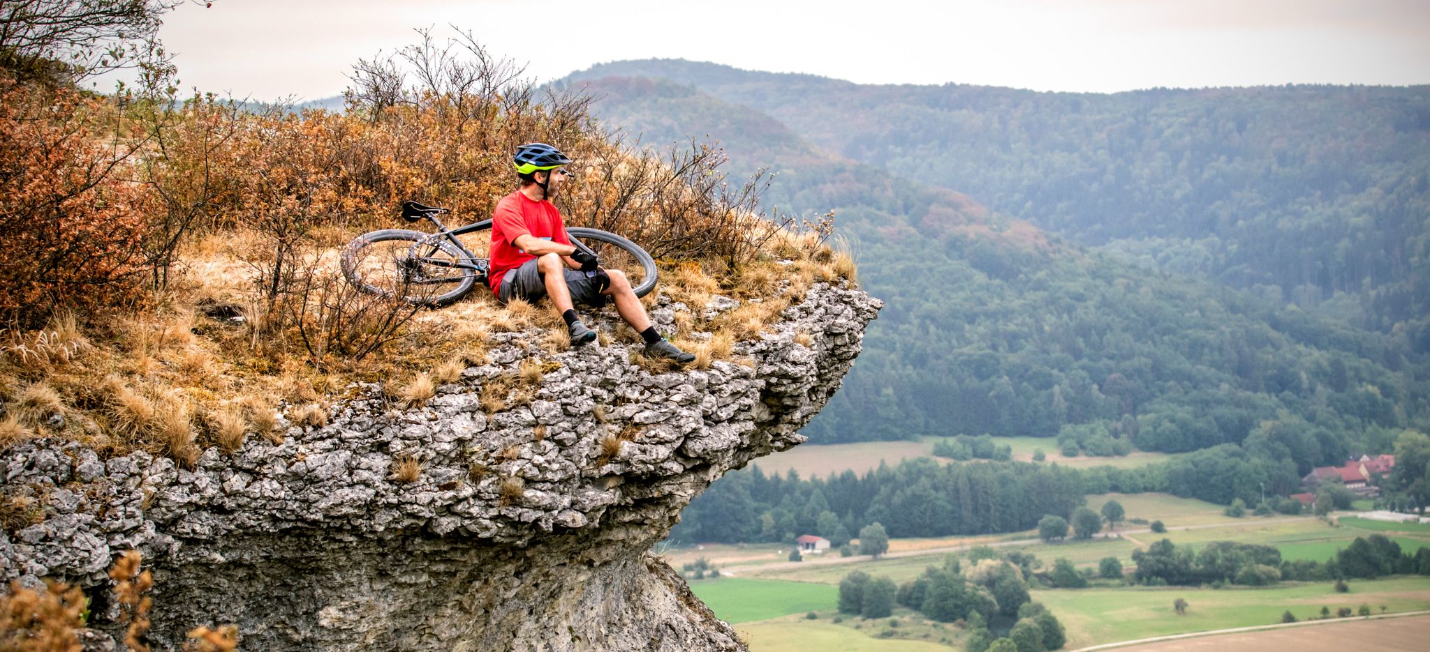
The 10 most beautiful mountain bike Tours in Franconian Switzerland
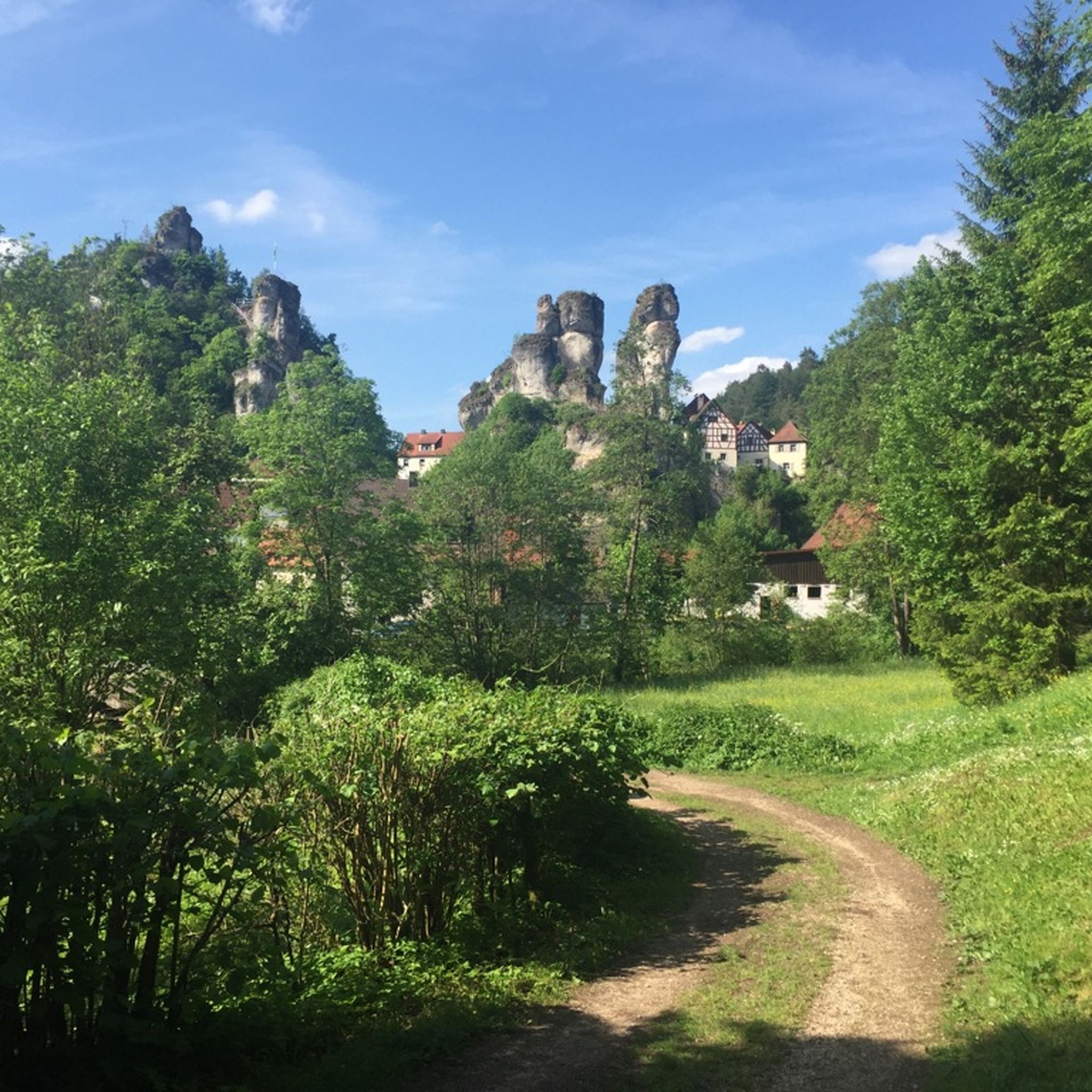
Hiking around Waischenfeld
Cycling around Waischenfeld
MTB Trails around Waischenfeld
Other adventures around Waischenfeld


Tips from the Community

Waischenfeld masterfully combines nature and culture – this becomes abundantly clear on a walk along the idyllic Wiesent river promenade. The Wiesentmauergalerie is a real splash of color in the cityscape. Here, the gray riverbanks of the Wiesent are transformed into a vibrant open-air gallery. At regular intervals, local youth and artist projects create large-format, colorful murals directly above the water's surface. Where once a wild jungle scene caught the eye, today imaginative fairy-tale motifs invite you to discover and smile. The murals are part of the extensive sculpture promenade that has stretched along the riverbank since the town's anniversary in 2015. Strolling past old willows and babbling water, you encounter high-caliber art objects made of sandstone, metal, and glass. Be sure to look out for the charming "Rothaus-Pöpel" – a sculpture depicting a legendary Waischenfeld goblin quietly rocking on a bell. The promenade proves: In Waischenfeld, you don't just walk through nature, but right through a living work of art.
3
0
The Rabenecker Mühle, first documented in the 14th century, is a historic, listed watermill in Wiesenttal directly below Rabeneck Castle. After a devastating fire during a wedding celebration in 1780, the current, distinctive half-timbered house was rebuilt three years later with three water wheels. After the traditional milling operations ceased in 1935, the owners installed a water turbine in 1963 for sustainable electricity generation. Today, the building is privately owned, serves as a residence and for biological grain processing, and is an extremely popular photo motif along the surrounding hiking trails due to its picturesque location on a weir.
2
0

There is a cool bakery here that is also open on Sundays.
0
0

The over three-meter-high statue of Saint Nepomuk, which has stood next to the town bridge near the old brewery since 1715 and, according to well-known legends, is supposed to protect the bridge from misfortune. "Johannes Nepomuk, defender of honor, pray for us and our city," is the translated inscription, which probably refers to an event that Waischenfeld only recently celebrated again two years ago: in 1715 it was exactly 400 years since the town was elevated to "city"; in 2015 it was a round 700 years. The assumption is underlined by an alliance coat of arms that is barely visible today, which is engraved in the base of the figure. It shows the lions of the Hochstift Bamberg coat of arms on the left, to which Waischenfeld belonged for over 400 years, and the coat of arms of the town of Waischenfeld on the right: a crowned man. Whether this is supposed to be the diocese founder Emperor Heinrich or King Ludwig, who granted the town rights in 1315, is still debated by scholars. Art experts are certain that it is a figure by the Waischenfeld master mason and stonemason Johann Schwesner.
0
3

The rocky path to the 🏰 is also absolutely impressive. A very beautiful castle and, in winter, also romantically illuminated.
9
1
Beautiful viewpoint 🤩. The Gößweinstein Stations of the Cross also lead there.
8
0
The Kunigundenbrunnen in Waischenfeld is a charmingly designed fountain complex on the Wiesent river, located directly next to the historic, former communal brewery. From a historical perspective, however, the current name is a modern invention: It is actually the old Johannesbrunnen, named after the figure of St. John of Nepomuk erected there in 1715, who traditionally serves as a bridge saint to protect against floods. In the course of a modern square renovation, the complex was relocated, renamed, and artistically enhanced with a female figure who symbolically washes laundry at the edge of the fountain. Today, the square around the fountain is a popular and idyllic meeting place for hikers and locals right on the riverbank.
5
0

A great cave that is a lot of fun to explore. Please remember to wear sturdy shoes and bring your flashlight
2
0
Frequently Asked Questions
What kind of running terrain can I expect in Waischenfeld?
Waischenfeld, nestled in Franconian Switzerland, offers a diverse range of running terrain. You'll find everything from relaxed paths along the Wiesenttal valley to more challenging trail runs with significant ascents through mountains and past distinctive rock formations. The region's geology, part of the Franconian Jura, provides a varied and scenic backdrop for your run.
Are there running routes suitable for beginners or those looking for an easy jog?
Yes, Waischenfeld has options for all fitness levels. While many routes are moderate, there are 3 easy running routes available. These typically follow the valley paths, offering a gentler experience along the Wiesent River. For example, the Waischenfeld town center – Nankendorf Mill loop from Waischenfeld is a moderate route with relatively low elevation gain, perfect for a relaxed run.
Can I find challenging trail running routes around Waischenfeld?
Absolutely. For those seeking a challenge, Waischenfeld offers 15 difficult running routes with significant elevation changes. These routes often lead through the upland regions of Franconian Switzerland, providing strenuous climbs and rewarding descents. A prime example is the Oswald Cave – Quackenschloss loop from Doos, an 8-mile path featuring substantial elevation gain and notable natural formations.
Are there any circular running routes in the area?
Yes, many of the running routes around Waischenfeld are designed as loops, allowing you to start and finish in the same location. This is ideal for convenience and exploring different sections of the landscape. The Panorama Trail Walscherle – Waischenfeld Sports Field loop from Waischenfeld is a popular circular option, offering scenic views over 3.7 miles.
What historical landmarks or natural features can I see while running?
Waischenfeld's running routes often pass by fascinating historical sites and natural wonders. You can explore the ruins of Waischenfeld Castle, or encounter other nearby castles like Neideck Castle and Streitburg Castle. The region is also known for its karst caves, such as the Oswald Cave, and scenic river valleys like the Wiesenttal. Some routes even feature unique rock formations and sculpture trails.
Are there any waterfalls or unique natural monuments along the running trails?
Yes, the Franconian Switzerland region around Waischenfeld is home to several beautiful natural features. While running, you might encounter highlights like the Devil’s Hole Waterfalls, the Weißenbach Sinter Terraces, or the Wedenbach tufa terraces and waterfall. These add a picturesque element to your outdoor experience.
What do other runners say about the running trails in Waischenfeld?
The running routes in Waischenfeld are highly regarded by the komoot community, with an impressive average rating of 4.4 stars from over 60 reviews. Runners frequently praise the varied terrain, the stunning natural beauty of Franconian Switzerland, and the well-maintained paths that cater to different fitness levels.
Are there any long-distance running options or routes that cover significant mileage?
For runners looking to cover longer distances, Waischenfeld offers several routes that extend beyond typical jogging lengths. For instance, the Nankendorf Mill – View of Rabeneck Castle loop from Nankendorf is a challenging 12-mile (19.2 km) route that provides an extensive running experience through the scenic landscape.
Can I find routes with good viewpoints for panoramic scenery?
Absolutely. The hilly terrain of Franconian Switzerland means many running routes offer fantastic panoramic views. You can seek out spots like the Arndthöhe within Waischenfeld for vistas of the Wiesenttal, or incorporate routes that lead to elevated points providing expansive scenery. The Panorama Trail Walscherle – Waischenfeld Sports Field loop from Waischenfeld is named for its scenic outlooks.
Is Waischenfeld a good place for family-friendly running or walks?
Yes, Waischenfeld offers routes that are suitable for families, especially those looking for easier, flatter paths. The trails along the Wiesenttal valley provide a gentle environment for a family jog or walk, allowing everyone to enjoy the natural beauty without overly strenuous climbs. Look for routes designated as 'easy' for the most family-friendly options.
Are dogs allowed on the running trails in Waischenfeld?
Generally, dogs are welcome on most outdoor trails in Franconian Switzerland, including those around Waischenfeld. It's always a good idea to keep your dog on a leash, especially in nature reserves or near wildlife, and to be mindful of other trail users. The diverse terrain offers plenty of opportunities for you and your canine companion to enjoy a run together.
What is the best time of year to go running in Waischenfeld?
Waischenfeld is beautiful year-round, but the spring and autumn months are particularly ideal for running. The weather is typically mild, and the landscapes are vibrant with blooming flowers or rich autumn colors. Summer offers longer daylight hours, though it can be warmer, while winter provides a unique, serene experience, especially on cleared paths, though some trails might be icy or muddy.
How many running routes are available in Waischenfeld?
There are over 50 dedicated running routes around Waischenfeld available on komoot. This extensive network ensures a wide variety of choices, from short, easy jogs to long, challenging trail runs, catering to all preferences and fitness levels.
Most popular routes around Waischenfeld
Most popular attractions around Waischenfeld

Get inspired with the komoot mobile app


Explore more
Browse the best Running Trails & Routes in other regions.
