The best mountain hikes around Huglfing
4.5
(103)
1,045
hikers
24
hikes
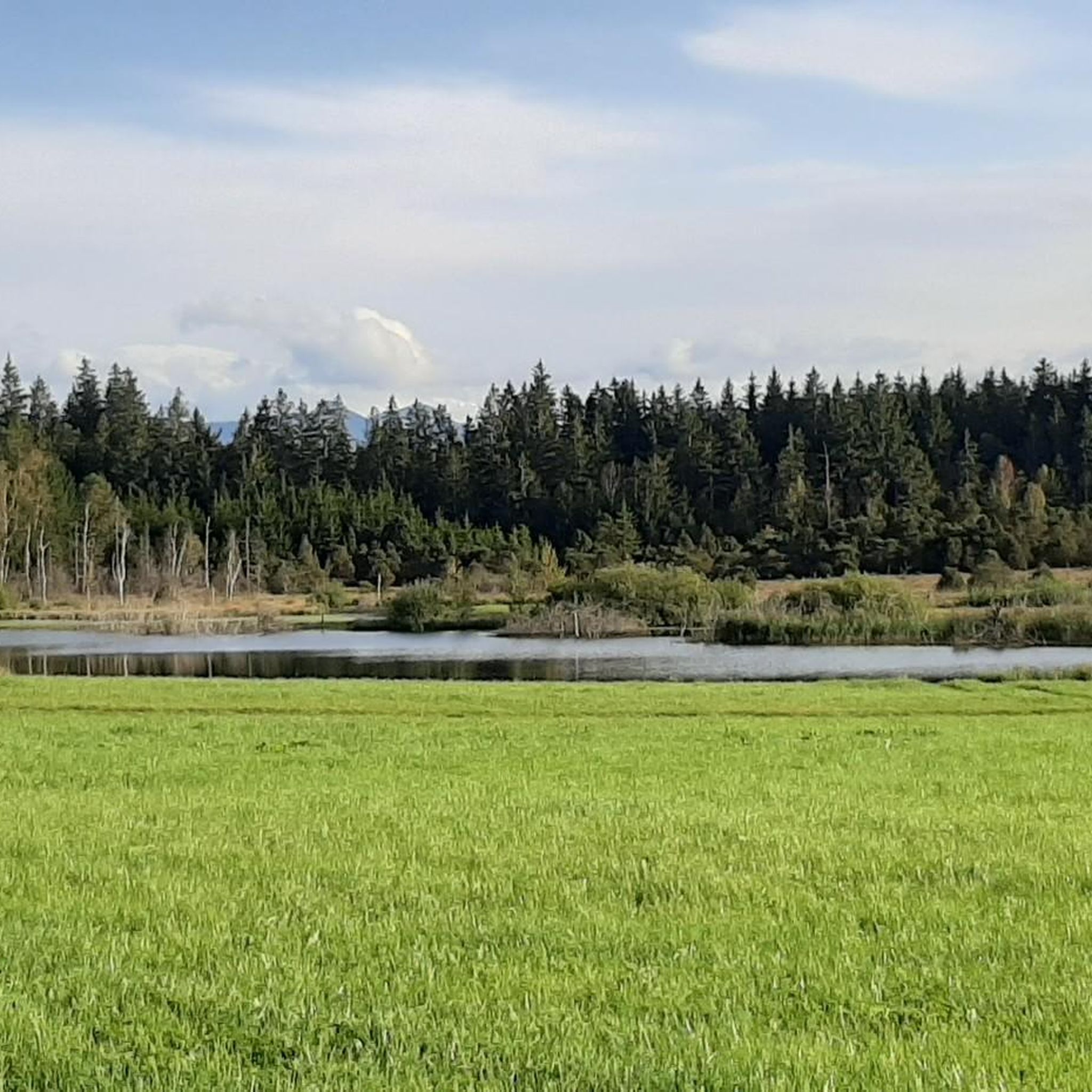
Mountaineering routes around Huglfing are situated in a region characterized by rolling hills, river valleys, and elevated viewpoints offering expansive vistas. The landscape features a mix of forested areas, open meadows, and ascents to local summits. This area provides diverse terrain suitable for various mountaineering experiences, from moderate paths along waterways to more challenging climbs towards higher elevations.
Best mountaineering routes around Huglfing
- The most popular mountaineering route is Hinteres Hörnle Summit – Stierkopf loop from Bad Kohlgrub, an…
Last updated: October 5, 2026
4.9
(23)
328
hikers
13.6km
05:20
800m
800m
Hard mountaineering route. Very good fitness required. Mostly accessible paths. Sure-footedness required.
4.9
(9)
34
hikers
10.9km
03:27
390m
390m
Moderate mountaineering route. Good fitness required. Mostly accessible paths. Sure-footedness required.

5.0
(4)
18
hikers
Moderate mountaineering route. Good fitness required. Mostly accessible paths. Sure-footedness required.
4.5
(2)
13
hikers
13.9km
05:27
780m
780m
Hard mountaineering route. Very good fitness required. Mostly accessible paths. Sure-footedness required.
2
hikers
10.6km
02:47
90m
90m
Moderate mountaineering route. Good fitness required. Easily-accessible paths. Suitable for all skill levels.
Get access to more routes and recommendations from other explorers.
Already have an account?
Our route recommendations are based on thousands of hikes, rides, and runs completed by other people on komoot.
Start today with a free account
Your next adventure awaits.
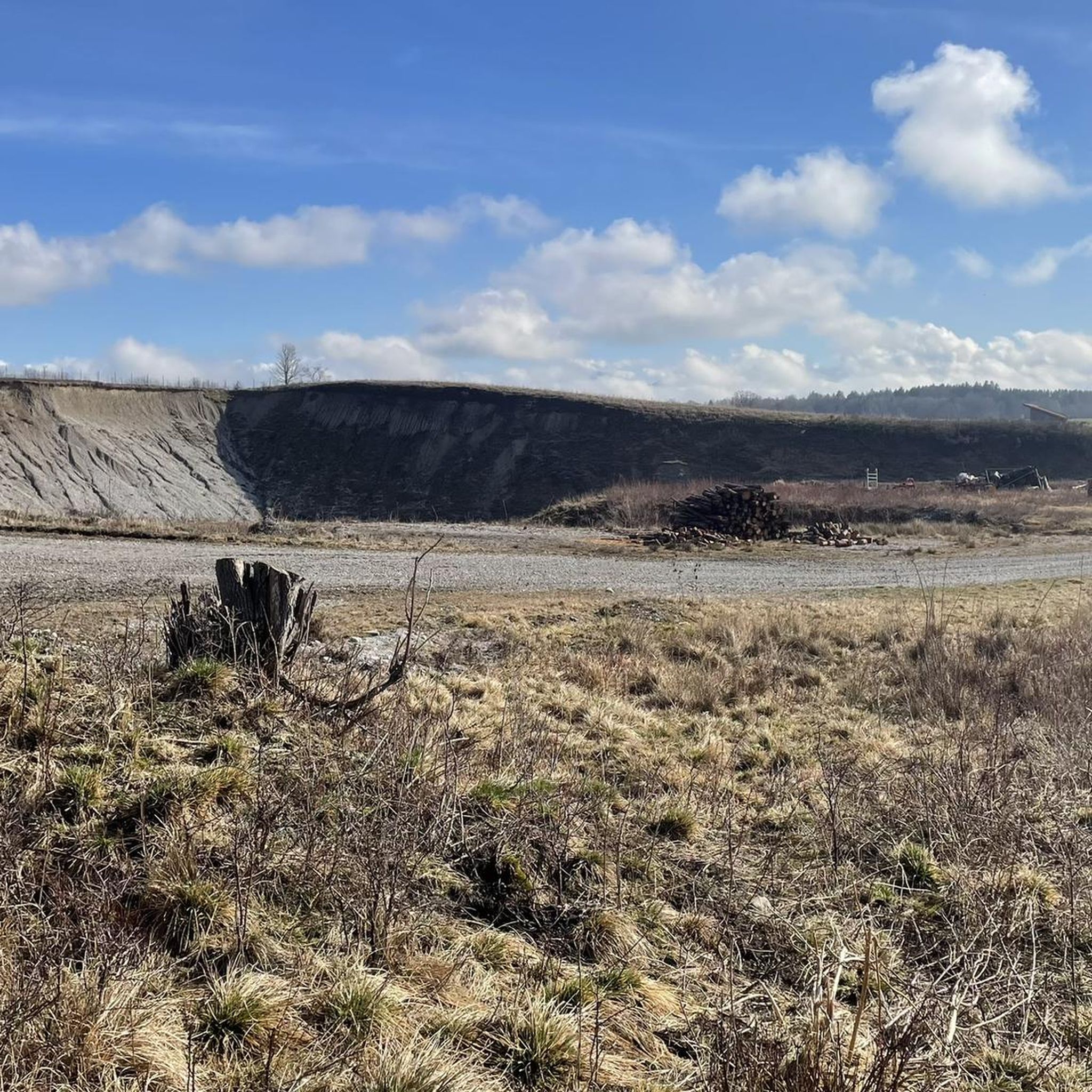
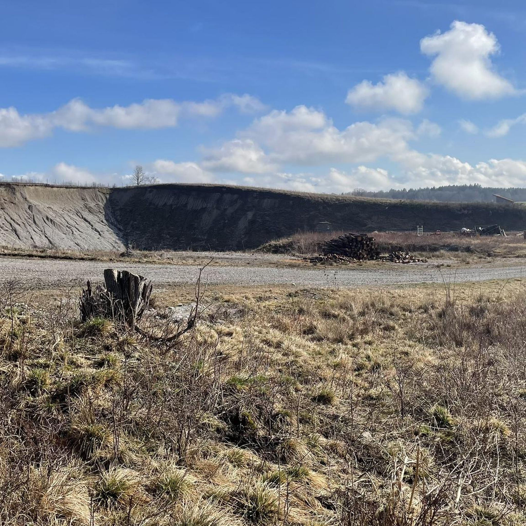
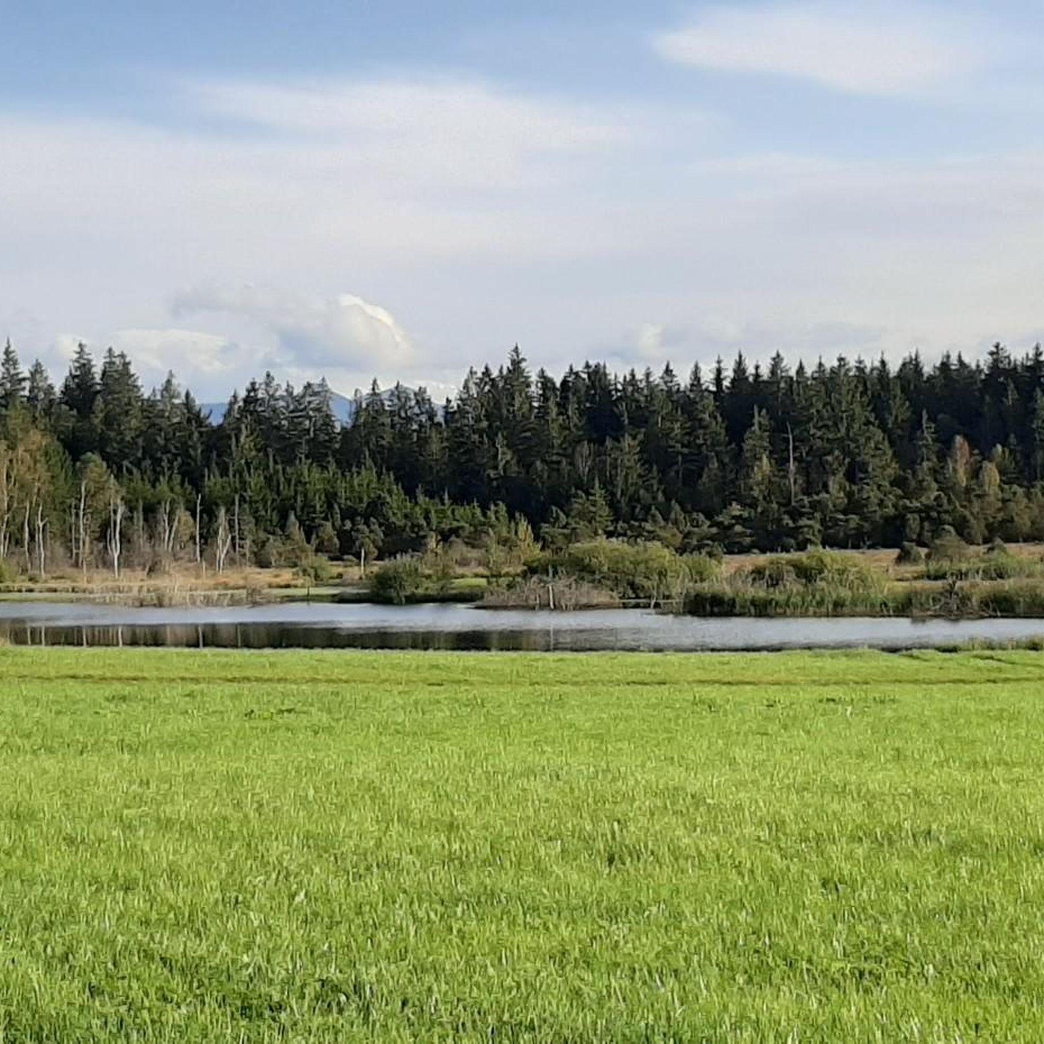
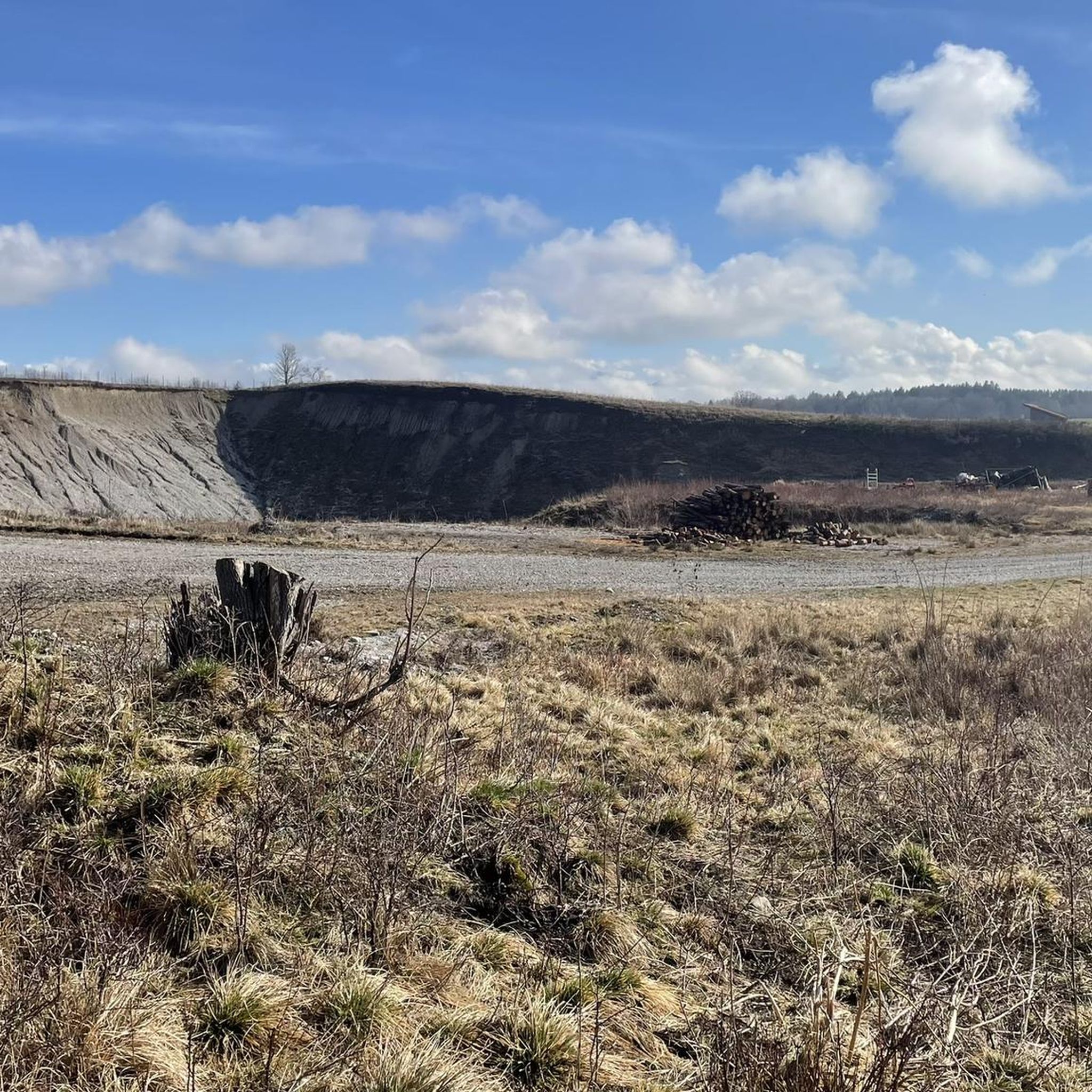

Tips from the Community


Here the path passes by one of the typical crosses
1
0
Great trail above the Riegsee, with a beautiful view of the Alps
2
0
St. Leonhard's Church is a historic village church dedicated to St. Leonard, which shapes the village scenery of Froschhausen.
2
0

Christiane Völkel commented in a few sentences on the quote »I am curious to see what God still has planned for me« by the Swedish writer Selma Lagerlöf: + “Salvation, completion, redemption, which are promised to us, are not simply there. They are given to us in such a way that hope fills us… with which we can cope with our lives. (…) How do we find such reliable hope, and how can we let it grow within us? I think it grows from encountering God.” With the statement of this impulse, I also wish all those who – as here – encounter a small sacred monument in the form of a wayside cross, a moment of encounter with God that gives hope.
1
0
The Hohenpeißenberg Meteorological Observatory is the world's oldest mountain weather station and has been carrying out almost uninterrupted measurements for the German Weather Service since 1781.
2
0
Great view in all directions from Bayrischen Rigi
1
0
Great view of the mountains
1
0
Frequently Asked Questions
How many mountaineering routes can I find around Huglfing?
There are over 25 distinct mountaineering routes available around Huglfing, offering a variety of experiences for different skill levels.
Are there any easy mountaineering routes suitable for beginners in Huglfing?
Yes, Huglfing offers a few easier routes. For instance, the View of Riegsee and the Alps – View of Riegsee loop from Riegsee is a moderate option that provides beautiful scenery with less demanding elevation changes.
What are some challenging mountaineering routes for experienced hikers?
For those seeking a challenge, the Hinteres Hörnle Summit – Stierkopf loop from Bad Kohlgrub is a difficult route with significant elevation gain. Another demanding option is the Hinteres Hörnle Summit – Hörnle Alm loop from Bad Kohlgrub.
Are there any circular mountaineering routes around Huglfing?
Many of the routes around Huglfing are designed as loops, allowing you to start and end at the same point. Examples include the Musikpunkt Peißenberg – View from Hohenpeißenberg loop from Peißenberg and the Wooden bridge over the Ammer – High above the Ammer River loop from Bad Bayersoien.
What kind of views can I expect on the mountaineering routes?
The routes around Huglfing offer diverse views, from expansive vistas over rolling hills and river valleys to panoramic outlooks from local summits. The Musikpunkt Peißenberg – View from Hohenpeißenberg loop from Peißenberg, for example, provides stunning panoramic views from Hohenpeißenberg.
Are there any routes that feature waterfalls or gorges?
Yes, the region boasts several natural attractions. You can find waterfalls like the Schleierfälle — Waterfalls on the Ammer River and the Soyermühle and Waterfall. The Scheibum Gorge and the Ammerschlucht Gorge Trail also offer impressive natural scenery.
What are some interesting landmarks or points of interest near the mountaineering trails?
Beyond the trails, you can explore landmarks such as the Vorderes Hörnle and Zeitberg Summit. The Langer Filz boardwalk in Murnauer Moos offers a unique natural experience, and the beautiful Lake Staffelsee and Great Ostersee are also nearby.
What do other mountaineers say about the routes in Huglfing?
The mountaineering routes in Huglfing are highly rated by the komoot community, with an average score of 4.7 stars from over 90 reviews. Users often praise the varied terrain, accessible summits, and panoramic viewpoints.
Are there any routes that pass by lakes or rivers?
Yes, the region is characterized by river valleys. The Wooden bridge over the Ammer – High above the Ammer River loop from Bad Bayersoien follows the Ammer River valley. Additionally, the View of Riegsee and the Alps – View of Riegsee loop from Riegsee offers views of Riegsee.
What is the typical duration for mountaineering routes in Huglfing?
Route durations vary significantly based on distance and difficulty. For example, a moderate route like the Musikpunkt Peißenberg – View from Hohenpeißenberg loop from Peißenberg typically takes around 3 hours 25 minutes, while a more difficult one like the Hinteres Hörnle Summit – Stierkopf loop from Bad Kohlgrub can take over 5 hours.
What kind of terrain can I expect on the mountaineering trails around Huglfing?
The landscape around Huglfing features a mix of rolling hills, river valleys, and ascents to local summits. You'll encounter forested areas, open meadows, and paths leading to higher elevations, providing diverse terrain for various mountaineering experiences.
Most popular routes around Huglfing
Most popular attractions around Huglfing

Get inspired with the komoot mobile app


Explore more
Browse the best Mountain Hikes & Routes in other regions.
