The best mountain hikes around Habach
4.7
(200)
2,255
hikers
39
hikes
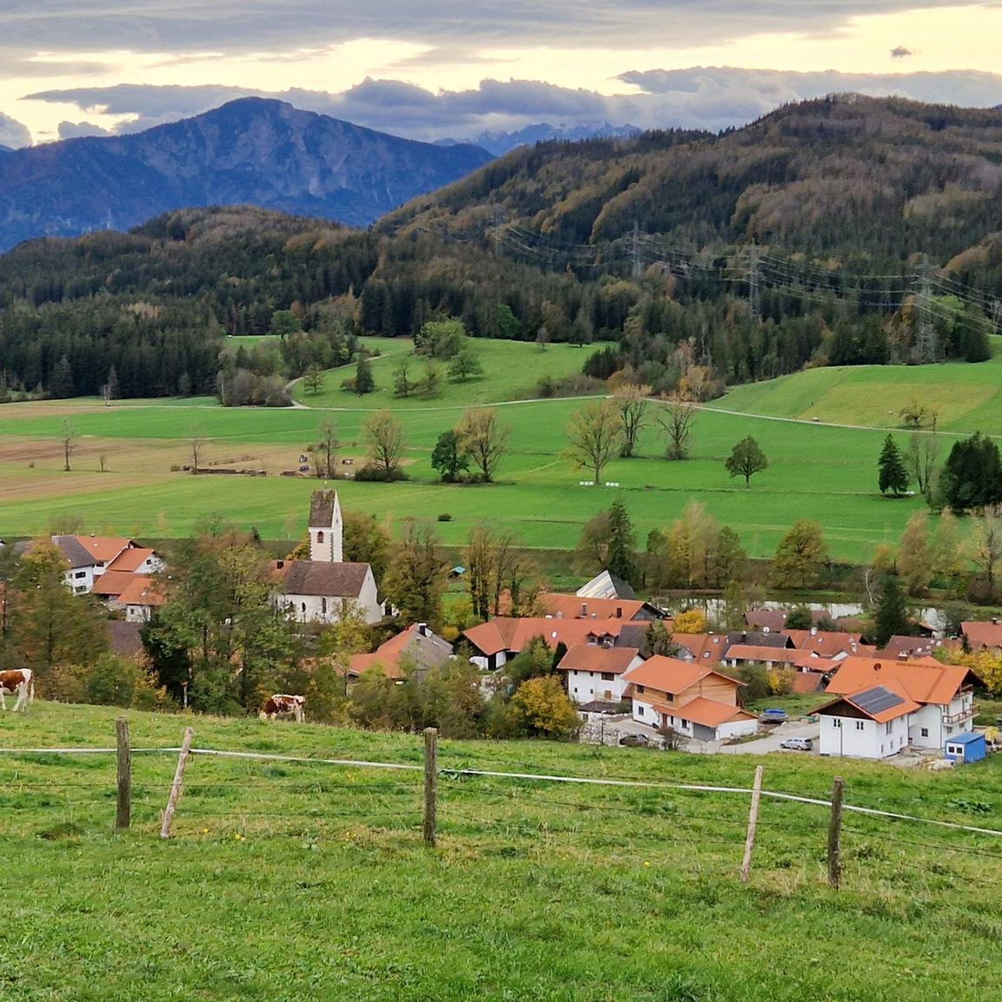
Mountaineering routes around Habach are situated in Upper Bavaria, Germany, characterized by picturesque alpine foothills, nature reserves, and moor areas. The region offers mountain panoramas and lakes, providing varied terrain for mountaineering. While Habach itself features lower-elevation routes, it serves as a gateway to more challenging alpine experiences in the nearby Bavarian Alps.
Best mountaineering routes around Habach
- The most popular mountaineering route is Rötelstein Summit – Wayside Shrine loop from Großweil, a 6.8 miles (10.9 km) trail that…
Last updated: July 5, 2026
4.8
(5)
61
hikers
11.1km
04:15
550m
550m
Hard mountaineering route. Good fitness required. Sure-footedness, sturdy shoes and alpine experience required.
28
hikers
Moderate mountaineering route. Good fitness required. Easily-accessible paths. Suitable for all skill levels.

Sign up for free
14
hikers
Moderate mountaineering route. Good fitness required. Easily-accessible paths. Suitable for all skill levels.
2
hikers
9.53km
02:28
60m
60m
Moderate mountaineering route. Good fitness required. Easily-accessible paths. Suitable for all skill levels.
2
hikers
10.8km
02:50
90m
90m
Moderate mountaineering route. Good fitness required. Easily-accessible paths. Suitable for all skill levels.
Get access to more routes and recommendations from other explorers.
Sign up for free
Already have an account?
Our route recommendations are based on thousands of hikes, rides, and runs completed by other people on komoot.
Start today with a free account
Your next adventure awaits.
Login or Signup
Tips from the Community

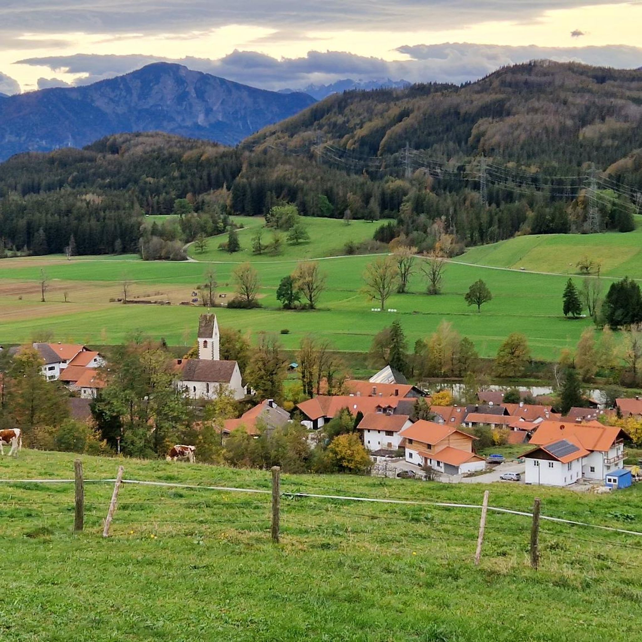
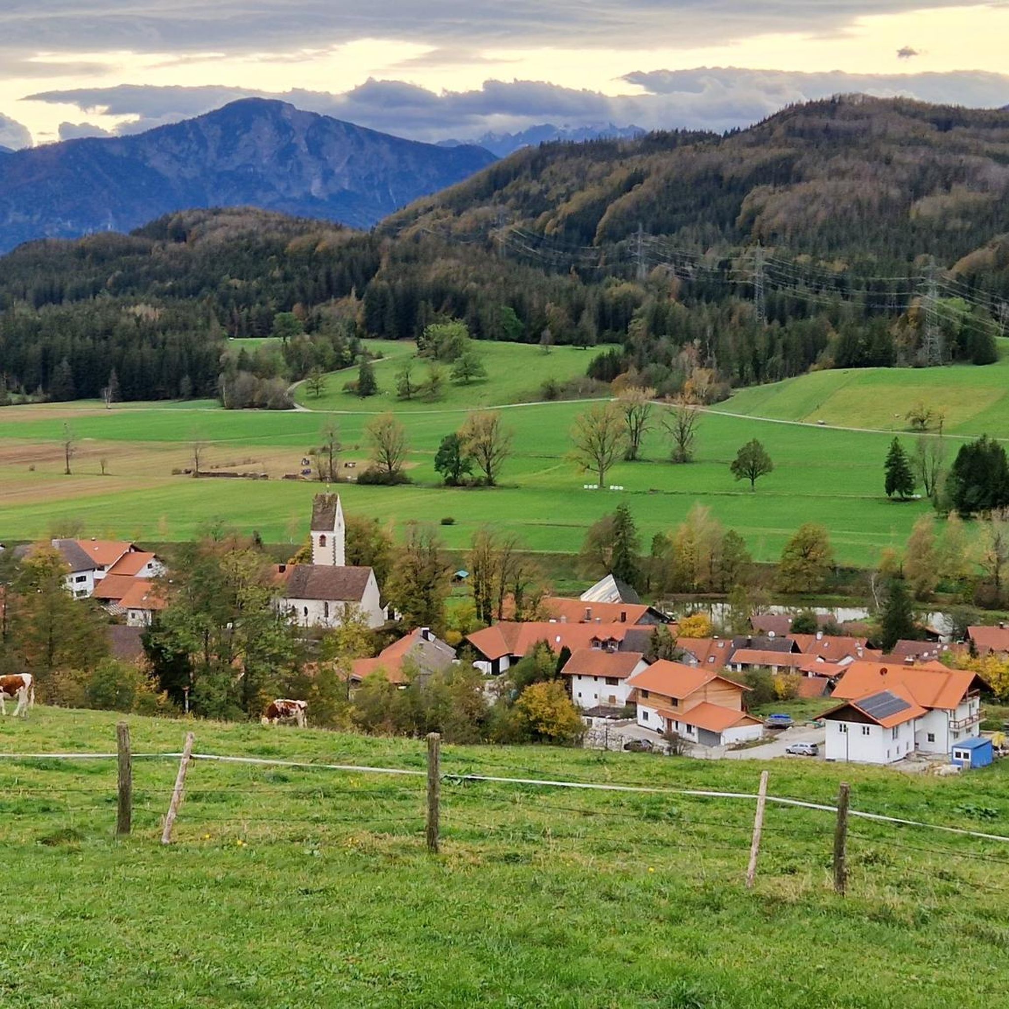
Great trail above the Riegsee, with a beautiful view of the Alps
2
0
Beautiful spot for swimming at Riegsee
1
0
Beautiful lawn and bathing area at Froschhauser See
2
0

Good view over the lake and the mountains
1
0
Beautiful view from the campsite over the Riegsee to the mountains
3
0
Beautiful view from the north side of Lake Fohnsee over the lake and Iffeldorf.
1
0

Frequently Asked Questions
What kind of mountaineering routes can I find around Habach?
The Habach region in Upper Bavaria, Germany, offers a diverse range of mountaineering experiences, primarily in the picturesque alpine foothills. You'll find routes through nature reserves, moor areas, and alongside scenic lakes, providing varied terrain from moderate paths to more challenging ascents. There are over 40 routes available, catering to different skill levels.
Are there any easy or moderate mountaineering routes suitable for beginners or families?
Yes, Habach offers several moderate routes perfect for those seeking less strenuous options. For instance, the View of Großer Ostersee – Fohnsee reedbed loop from Iffeldorf is a moderate 6.8-mile path winding through scenic lake areas. Another accessible option is the Blaue Gumpe – Westlicher Breitenauersee loop from Iffeldorf, a 5.4-mile trail through diverse landscapes around the lakes.
What are some of the more challenging mountaineering routes near Habach?
For experienced mountaineers, the Habach area provides several difficult routes. A notable challenging option is the Rötelstein Summit – Wayside Shrine loop from Großweil, a 6.8-mile trail with significant elevation gain. Another demanding route is the Rötelstein Summit – Wayside Shrine loop from Kleinweil, which covers 11.3 miles and involves substantial ascent.
Are there any circular mountaineering routes in the Habach area?
Many of the mountaineering routes around Habach are designed as loops, offering convenient circular walks. Examples include the View of Großer Ostersee – Fohnsee reedbed loop from Iffeldorf and the View of Riegsee – View of Riegsee and the Alps loop from Riegsee, both providing scenic round trips.
What natural attractions or landmarks can I see along the mountaineering routes?
The Habach region is rich in natural beauty. You can explore stunning lakes like Lake Staffelsee, Great Ostersee, and Lake Kochel. There are also beautiful waterfalls such as Lainbach Waterfall and At the Kesselbach Falls, which can be incorporated into your mountaineering adventures.
Is Habach, Germany, close to any higher alpine regions for more intense mountaineering?
While Habach itself is in the alpine foothills, it serves as an excellent gateway to more intense mountaineering challenges. Germany's highest mountain, Zugspitze, is a nearby attraction, offering significant alpine experiences within a short drive for those seeking more demanding ascents.
What do other mountaineers say about the routes around Habach?
The mountaineering routes around Habach are highly regarded by the komoot community, with an impressive average rating of 4.7 stars from over 190 reviews. Many visitors praise the varied terrain, the beautiful lake views, and the well-maintained paths that make for enjoyable and rewarding experiences.
Can I access mountaineering routes around Habach using public transport?
Habach is situated in Upper Bavaria, a region with varying public transport options. While some trailheads might be accessible by local buses or trains, it's advisable to check specific route starting points and local transport schedules in advance. Parking is generally available near popular trailheads for those traveling by car.
Are there any specific considerations for mountaineering in Habach during winter?
Winter mountaineering in the Habach region can offer beautiful snowy landscapes, but conditions can change rapidly. While the alpine foothills might be suitable for snowshoeing or winter hiking, higher elevations, especially towards the Zugspitze area, will require appropriate winter gear, avalanche awareness, and experience. Always check local weather forecasts and trail conditions before heading out.
Are there any less crowded or 'hidden gem' mountaineering routes in the area?
With over 40 routes available, it's possible to find quieter trails, especially outside of peak season or by exploring some of the less-trafficked paths. While specific 'hidden gems' are subjective, exploring routes that venture slightly away from the most popular lake loops can often lead to more secluded experiences within the beautiful nature reserves and moor areas.
What kind of wildlife and flora might I encounter on the trails?
The diverse landscapes around Habach, including nature reserves and moor areas, support a variety of wildlife and flora. You might spot various bird species, small mammals, and a rich array of plant life, particularly in the wetlands and forested sections. In the higher alpine foothills, you'll encounter typical mountain flora. Always observe wildlife from a distance and respect their natural habitat.
Most popular attractions around Habach

Get inspired with the komoot mobile app


Explore more
Browse the best Mountain Hikes & Routes in other regions.
