The best mountain hikes around Antdorf
4.6
(93)
929
hikers
25
hikes
Mountaineering around Antdorf offers a diverse landscape characterized by a mix of mountain peaks, expansive moorland, and scenic lakes. The region features routes that traverse significant elevations, providing views of prominent summits like Benediktenwand and Zwiesel. Terrain varies from challenging mountain ascents to more gentle paths around water bodies and through alpine pastures.
Best mountaineering routes around Antdorf
- The most popular mountaineering route is View of Benediktenwand – Tutzinger Hut loop from Benediktbeuern, an 11.3 miles (18.2 km) difficult…
Last updated: October 8, 2026
4.6
(10)
87
hikers
18.5km
06:25
820m
820m
Hard mountaineering route. Very good fitness required. Mostly accessible paths. Sure-footedness required.
28
hikers
Moderate mountaineering route. Good fitness required. Easily-accessible paths. Suitable for all skill levels.

13
hikers
Moderate mountaineering route. Good fitness required. Easily-accessible paths. Suitable for all skill levels.
11
hikers
15.7km
05:26
710m
710m
Hard mountaineering route. Very good fitness required. Mostly accessible paths. Sure-footedness required.
6
hikers
18.5km
06:10
730m
730m
Hard mountaineering route. Very good fitness required. Sure-footedness, sturdy shoes and alpine experience required.
Get access to more routes and recommendations from other explorers.
Already have an account?
Our route recommendations are based on thousands of hikes, rides, and runs completed by other people on komoot.
Start today with a free account
Your next adventure awaits.
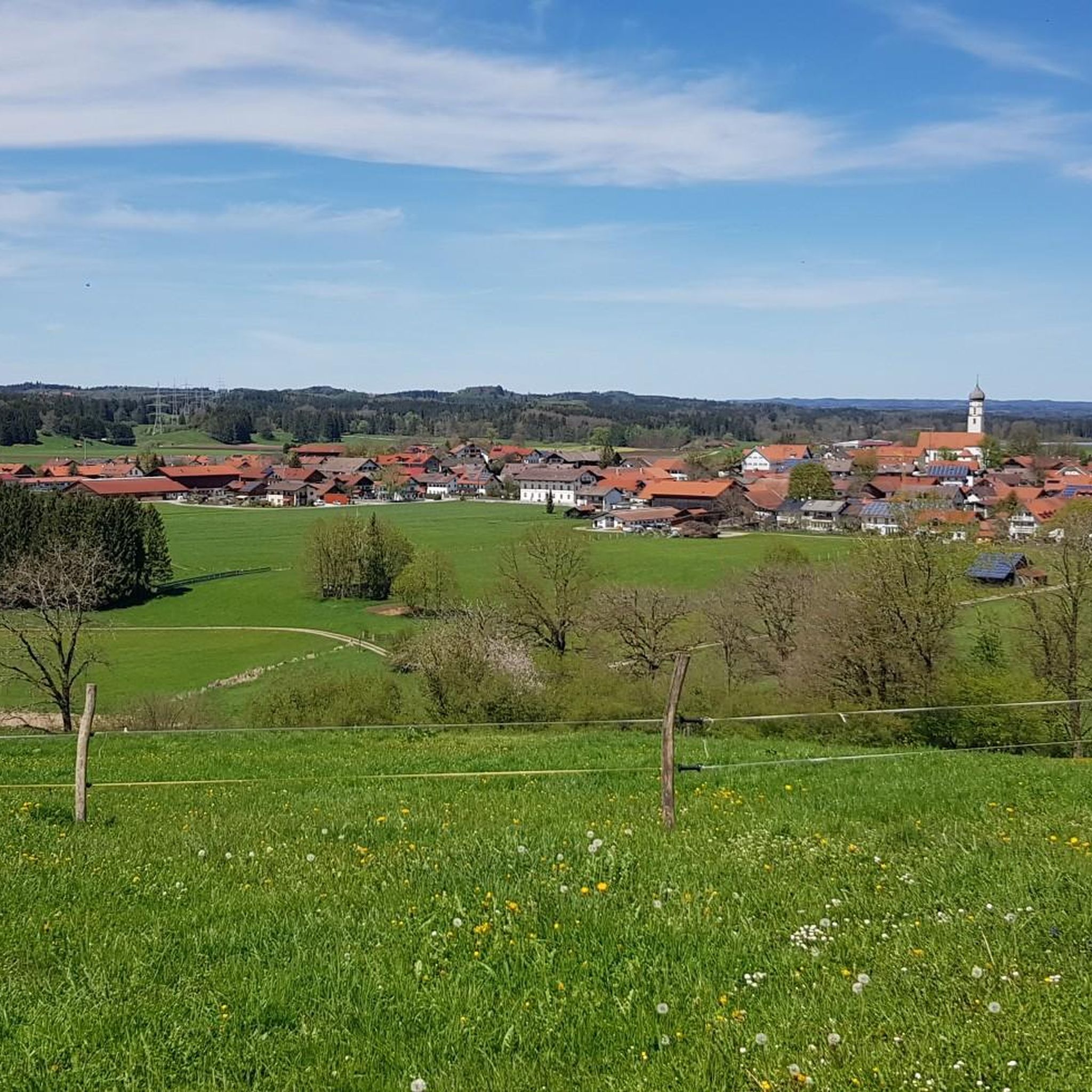
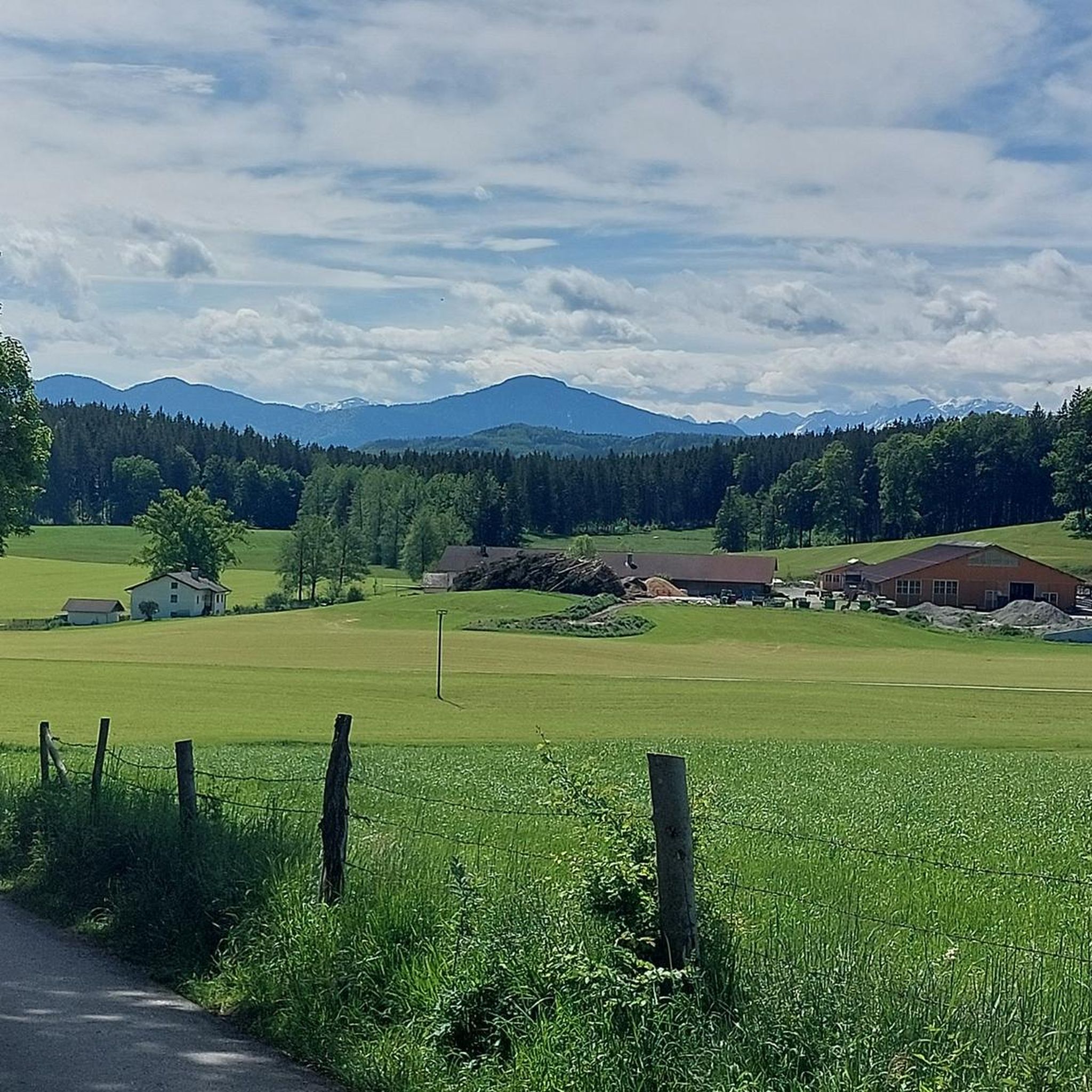
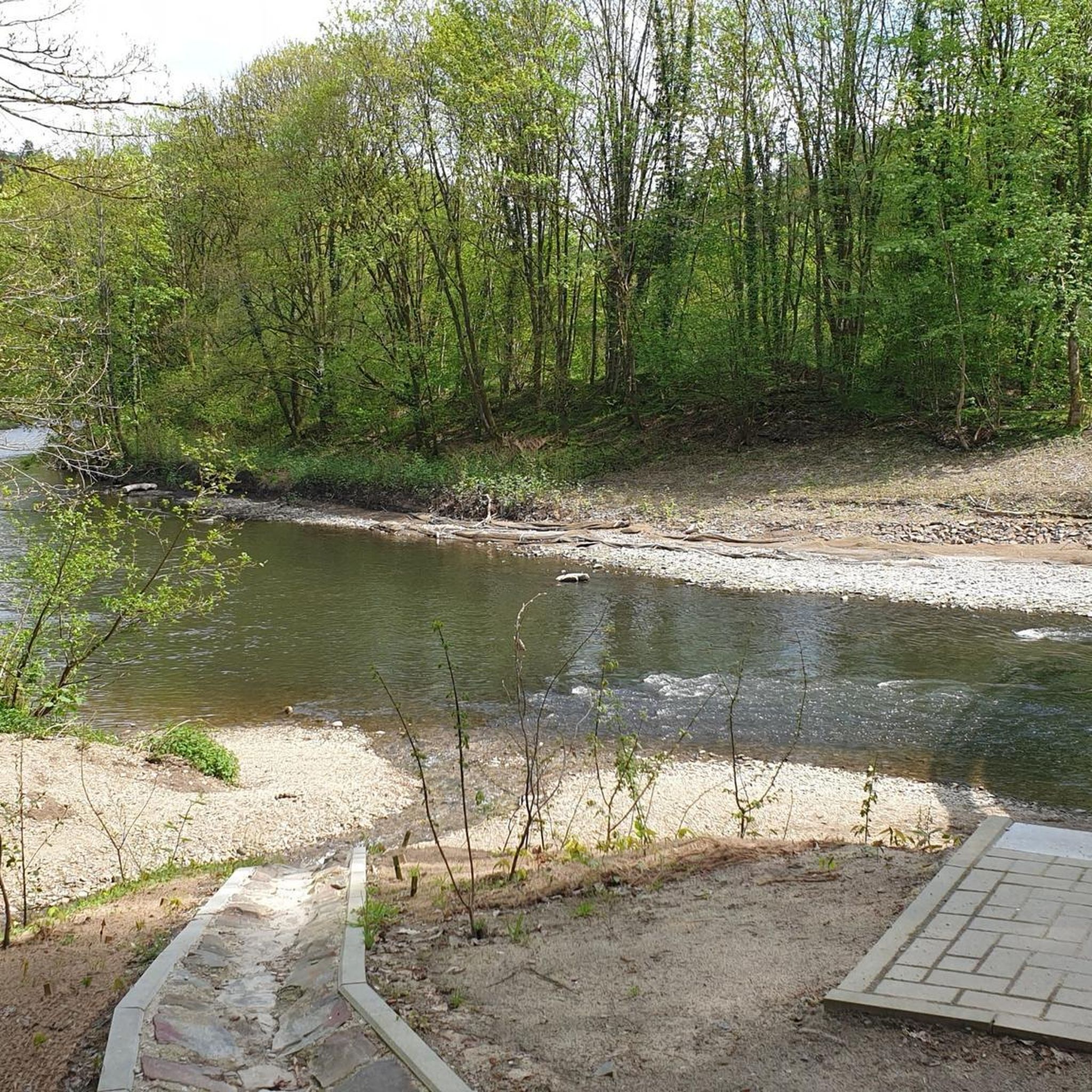
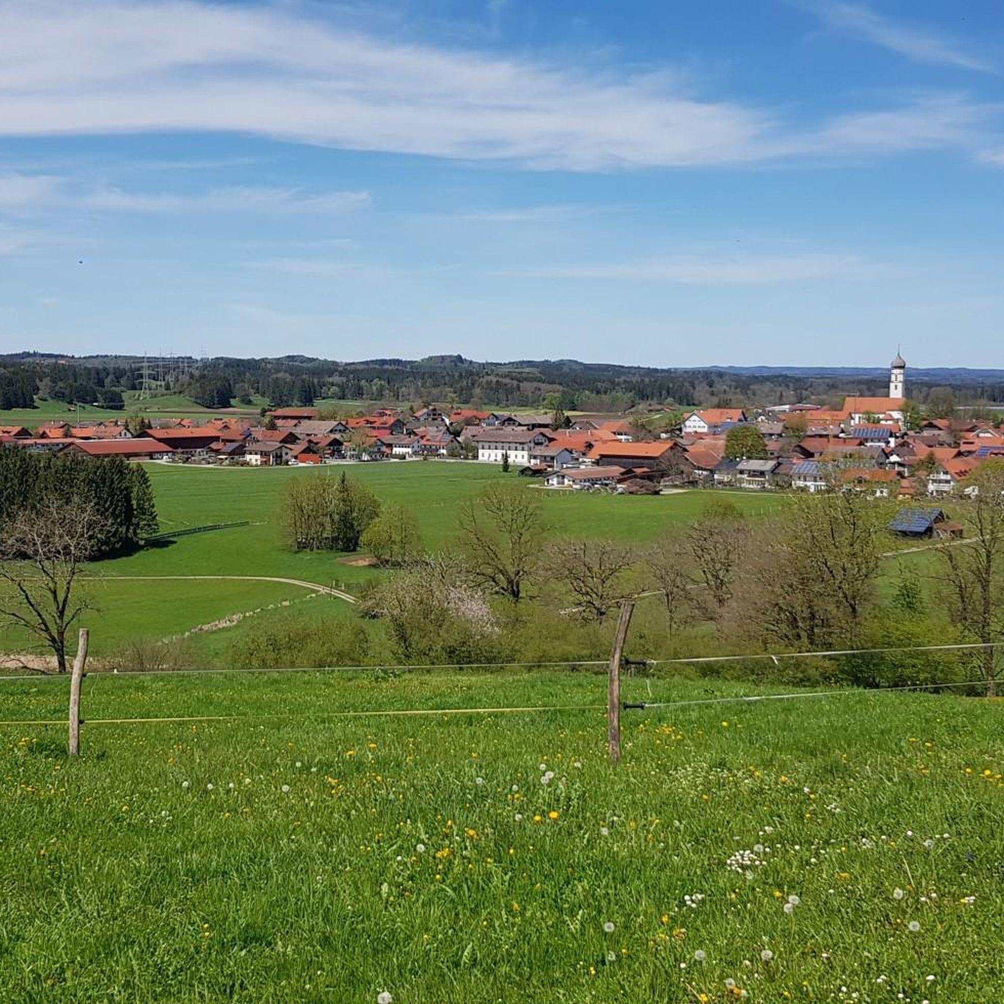
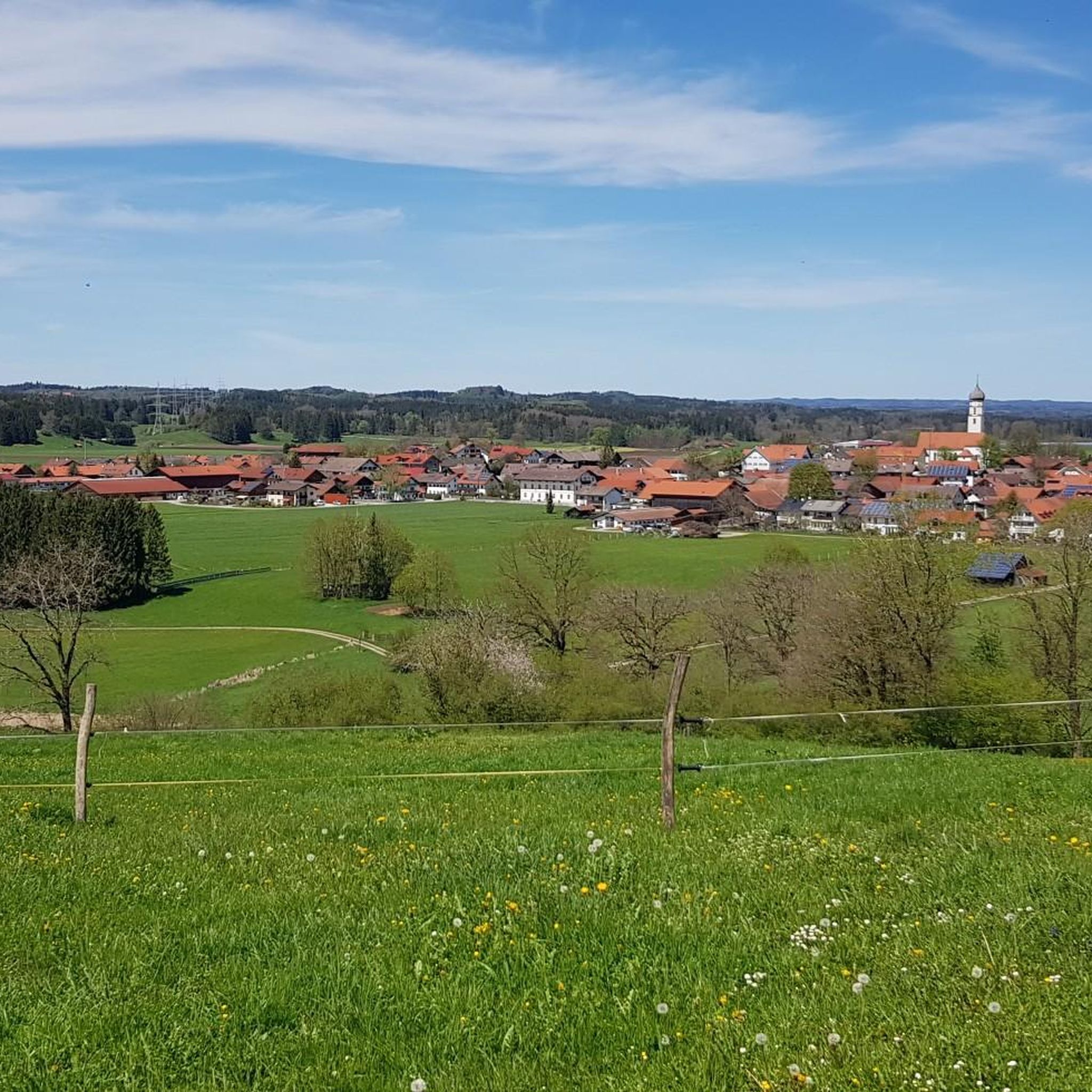
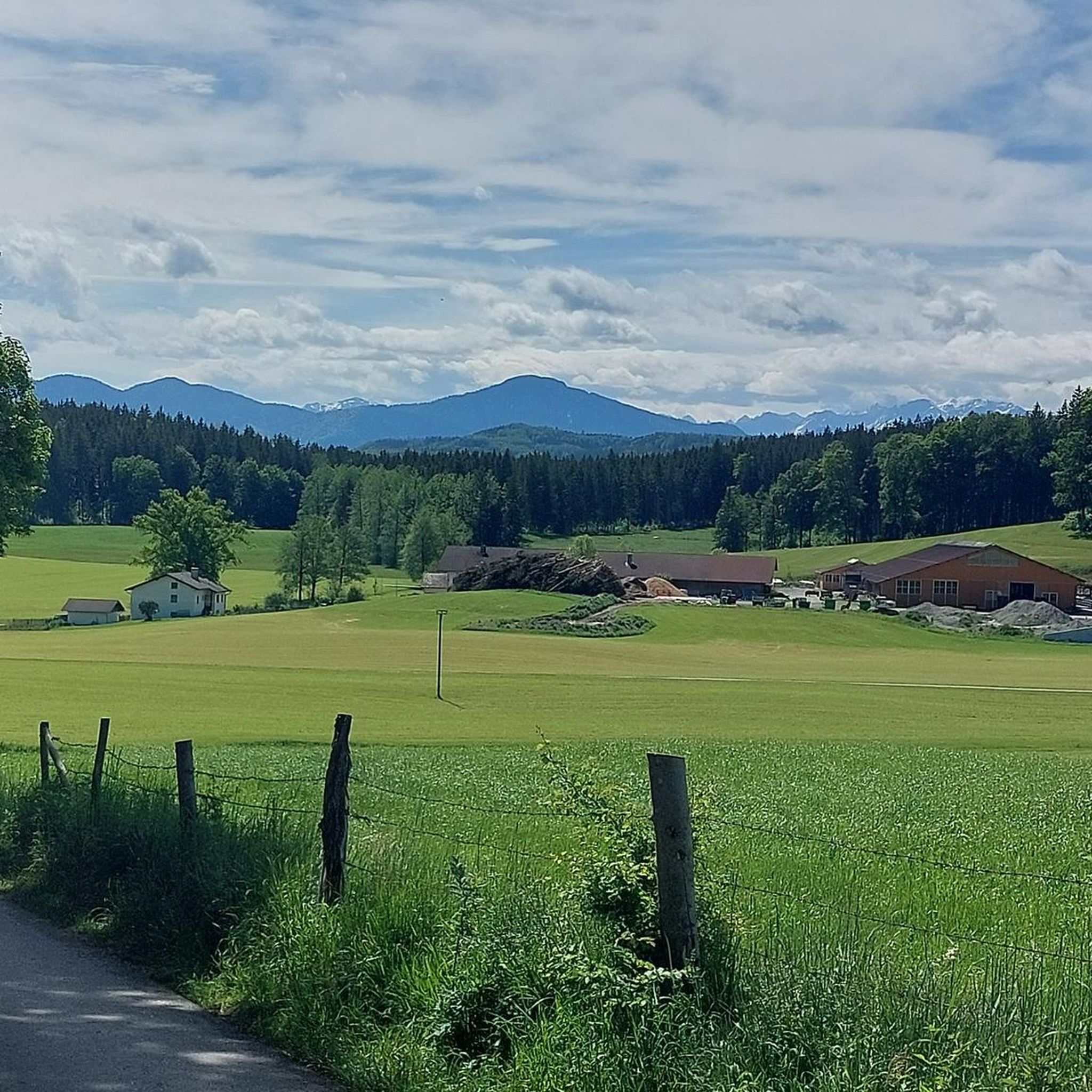
Tips from the Community

Apart from the sign here, already completely weathered in 2026, a check-in with SummitLynx, and collecting summits on Komoot, there is nothing here.
1
0
Probably goes through as a insider tip. Mountain view from the Tegernsee peaks to the left over to the Ammergau Alps and hardly visited due to lack of infrastructure.
1
0

Very nice hike with a forest bathing spot and refreshment stop at the Fohnseestüberl 💦😎👍🥨🍻
0
0
Very nice forest bathing spot, not much going on 👍😎💦
0
0

Always with the goal in mind and the look back with a cool drink!
0
0

The Zwiesel, also known as the Zwieselberg, is a 1,348 m above sea level mountain in the Bavarian Alps near Bad Tölz. The mountain can be reached via an easy hike with a 620 m ascent from the Waldherralm car park in Wackersberg. The Zwiesel is located in the immediate vicinity of the Blomberg.
0
0

...so this is the cable car for materials. You can ride your mountain bike up to here, then continue on foot.
0
0

The Benediktenwand (mentioned as early as 1300 as montem sancti Benedicti, colloquially Benewand) is an 1800 m high mountain ridge in the Bavarian Prealps between the Loisach and Isar rivers, the Jachenau in the south, and the Benediktbeuern Monastery in the north, from which it takes its name. The first summit cross was erected in 1877. This was preceded by a vow made by four woodcutters in October 1876, when snow depths of two meters threatened to undo their year's work. They would erect the largest mountain cross by far if the weather improved soon on St. James's Day 1877. The erection became a joint effort with the local fire department and has remained a tradition – reinforced by the Mountain Accident Service (Bergwacht) founded in 1927. In 1897, 1919, 1930, 1958, and 2023 Renovations were necessary. ...
0
1
Frequently Asked Questions
How many mountaineering routes are available around Antdorf?
There are over 25 mountaineering routes around Antdorf, offering a diverse range of experiences from challenging mountain ascents to more gentle paths around lakes and through moorland.
Are there easy mountaineering routes suitable for beginners in Antdorf?
Yes, Antdorf offers routes suitable for beginners. For instance, the area features paths like the View of Großer Ostersee – Fohnsee reedbed loop from Iffeldorf, which is a moderate 6.8 miles (11.0 km) path with gentle terrain around picturesque lakes and through reedbeds. There is at least one easy route available, and 11 moderate routes that can be suitable for those new to mountaineering or looking for a less strenuous experience.
What are some challenging mountaineering routes for experienced hikers?
For experienced mountaineers seeking a challenge, Antdorf offers several difficult routes. The Zwiesel Summit – Zwiesel Summit (1,348 m) loop from Benediktbeuern is a demanding 9.8 miles (15.7 km) trail with significant elevation gain, leading to the prominent Zwiesel Summit. Another option is the Kreut-Alm Mountain Inn – Rötelstein Summit loop from Großweil, a difficult 11.4 miles (18.3 km) route.
Are there family-friendly mountaineering options around Antdorf?
Absolutely. Many of the moderate and easy routes around Antdorf are suitable for families. Trails that explore the extensive moorland and picturesque lakes, such as the Great Ostersee – View of the Ameissee and the moorland loop from Schwaigerinsel, offer enjoyable experiences without extreme difficulty, making them ideal for a family outing.
Can I bring my dog on mountaineering trails near Antdorf?
Generally, dogs are welcome on most mountaineering trails around Antdorf, provided they are kept on a leash, especially in nature protection areas or near livestock. Routes around the lakes and through the moorland, which tend to be less crowded, are often popular choices for dog owners.
Are there circular mountaineering routes available in Antdorf?
Yes, many of the mountaineering routes in Antdorf are designed as circular loops, allowing you to start and end at the same point. Examples include the View of Benediktenwand – Tutzinger Hut loop from Benediktbeuern and the View of Großer Ostersee – Fohnsee reedbed loop from Iffeldorf, providing convenient exploration of the region's diverse landscapes.
What can I see along the mountaineering routes around Antdorf?
Mountaineering routes around Antdorf offer a variety of scenic attractions. You can enjoy stunning views over Lake Starnberg to the Alps from viewpoints like Beautiful view over Lake Starnberg to the Alps, explore the tranquil Great Ostersee, or discover the unique Benediktbeuren moor landscape. The region also features historical sites such as Seeseiten Castle and Bernried Abbey and Monastery Pond.
When is the best time of year for mountaineering around Antdorf?
The best time for mountaineering around Antdorf is typically from late spring to early autumn (May to October). During these months, the weather is generally more stable, and trails are clear of snow, offering optimal conditions for exploring both the mountain peaks and the lower-lying moorland and lake areas. Always check local weather forecasts before heading out.
Is winter mountaineering possible in Antdorf?
Winter mountaineering around Antdorf is possible but requires appropriate gear and experience. While lower-lying paths around the lakes and through the moorland might be accessible for winter walks, higher mountain routes can be challenging due to snow and ice. Always check current conditions and avalanche warnings before attempting winter ascents.
What do other mountaineers say about the routes in Antdorf?
The mountaineering routes in Antdorf are highly rated by the komoot community, with an average score of 4.6 stars from over 80 reviews. Mountaineers often praise the diverse landscape, which includes prominent summits, tranquil lakes, and extensive moorland, offering options for various ability levels.
Are there places to eat or cafes near the mountaineering routes?
Yes, the region around Antdorf, being a popular outdoor destination, has various mountain huts, inns, and cafes. Many routes, especially those that are loops or pass through villages, offer opportunities to stop for refreshments or a meal. It's always a good idea to check opening times in advance, especially during off-peak seasons.
What kind of terrain can I expect on mountaineering routes in Antdorf?
The terrain around Antdorf is remarkably varied. You can expect everything from challenging, rocky ascents and descents on routes leading to prominent summits like Benediktenwand and Zwiesel, to gentle, flat paths through expansive moorland and along the shores of scenic lakes. Some trails may also traverse alpine pastures and forested areas.
Most popular routes around Antdorf
Most popular attractions around Antdorf

Get inspired with the komoot mobile app


Explore more
Browse the best Mountain Hikes & Routes in other regions.
