The best mountain hikes in Landkreis Miesbach
4.7
(2048)
21,083
hikers
463
hikes
Mountaineering in Landkreis Miesbach, located in Upper Bavaria, Germany, features diverse natural landscapes within the Bavarian Prealps and Mangfall Mountains. The region is characterized by majestic mountain peaks such as Wendelstein, Rotwand, and Wallberg, alongside idyllic lakes like Tegernsee and Schliersee. Its terrain includes rolling hills, lush meadows, and dense forests, providing varied environments for mountaineering routes.
Best mountaineering routes in Landkreis Miesbach
- The most popular mountaineering route is Wallberg Church – View of Lake Tegernsee loop from Bavarian Prealps…
Last updated: October 11, 2026
4.8
(87)
755
hikers
11.8km
04:33
820m
820m
Moderate mountaineering route. Good fitness required. Mostly accessible paths. Sure-footedness required.
4.8
(58)
556
hikers
Moderate mountaineering route. Good fitness required. Mostly accessible paths. Sure-footedness required.

4.8
(52)
704
hikers
8.08km
04:39
790m
790m
Hard mountaineering route. Good fitness required. Sure-footedness, sturdy shoes and alpine experience required.
4.7
(53)
521
hikers
19.8km
06:56
1,000m
1,000m
Hard mountaineering route. Very good fitness required. Sure-footedness, sturdy shoes and alpine experience required.
4.8
(53)
589
hikers
14.3km
05:33
860m
860m
Hard mountaineering route. Very good fitness required. Mostly accessible paths. Sure-footedness required.
4.8
(31)
469
hikers
16.5km
06:34
820m
820m
Hard mountaineering route. Very good fitness required. Sure-footedness, sturdy shoes and alpine experience required.
4.8
(40)
439
hikers
Hard mountaineering route. Good fitness required. Sure-footedness, sturdy shoes and alpine experience required.
4.9
(48)
382
hikers
15.5km
06:30
830m
830m
Hard mountaineering route. Very good fitness required. Sure-footedness, sturdy shoes and alpine experience required.
4.8
(35)
339
hikers
18.3km
08:10
1,140m
1,140m
Hard mountaineering route. Very good fitness required. Sure-footedness, sturdy shoes and alpine experience required.
4.7
(44)
278
hikers
13.1km
05:30
870m
870m
Hard mountaineering route. Very good fitness required. Mostly accessible paths. Sure-footedness required.
Get access to more routes and recommendations from other explorers.
Already have an account?
Our route recommendations are based on thousands of hikes, rides, and runs completed by other people on komoot.
Start today with a free account
Your next adventure awaits.
Popular around Landkreis Miesbach
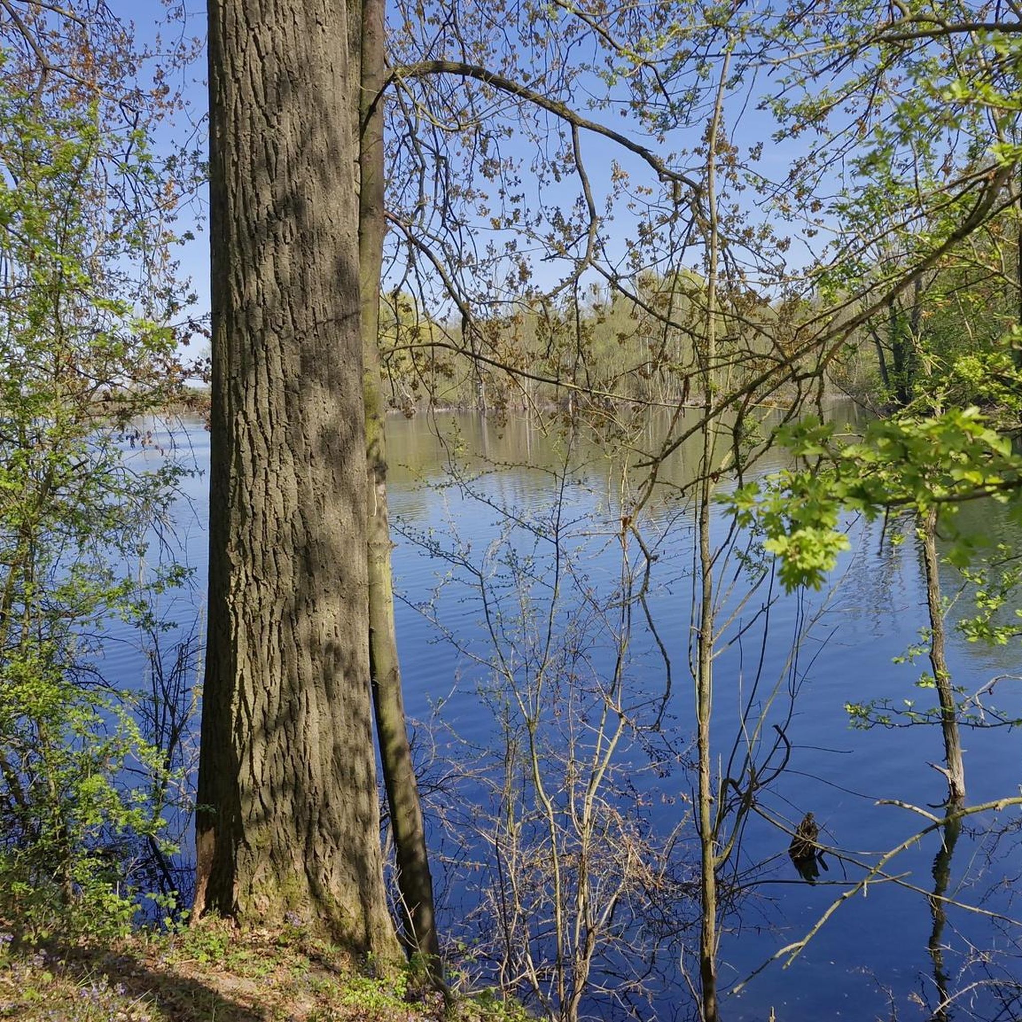
Mountain Hikes around Kreuth
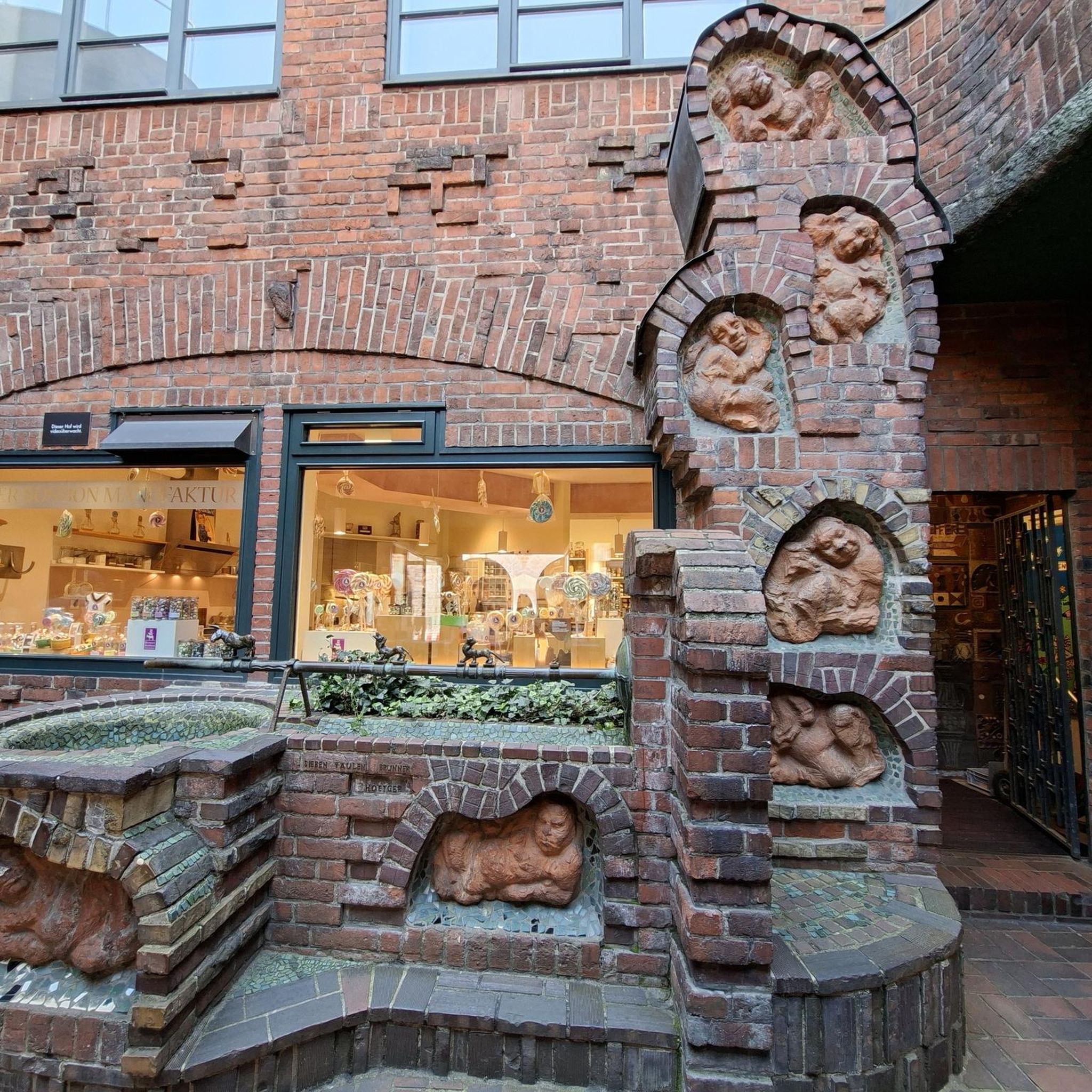
Mountain Hikes around Bayrischzell
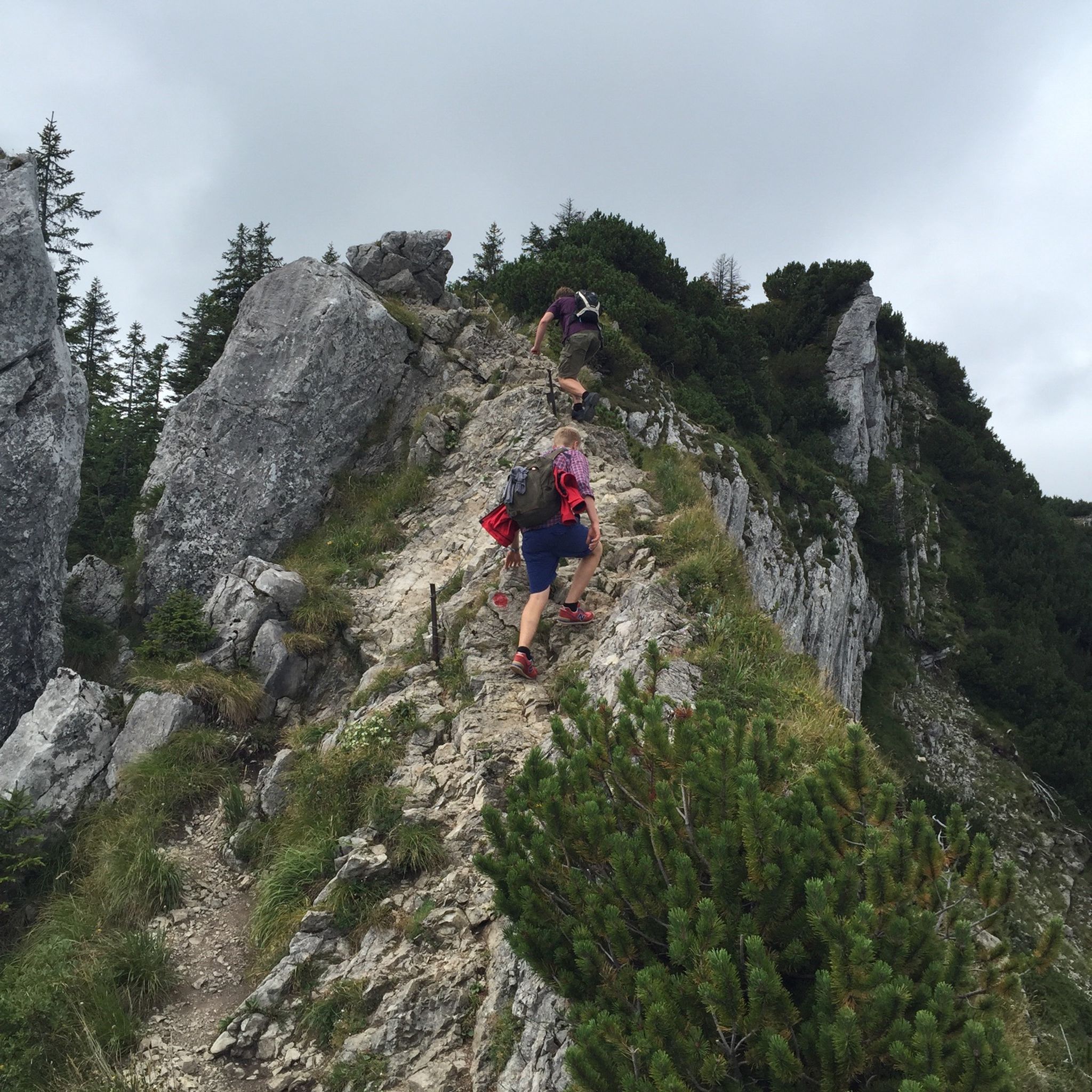
Mountain Hikes around Fischbachau
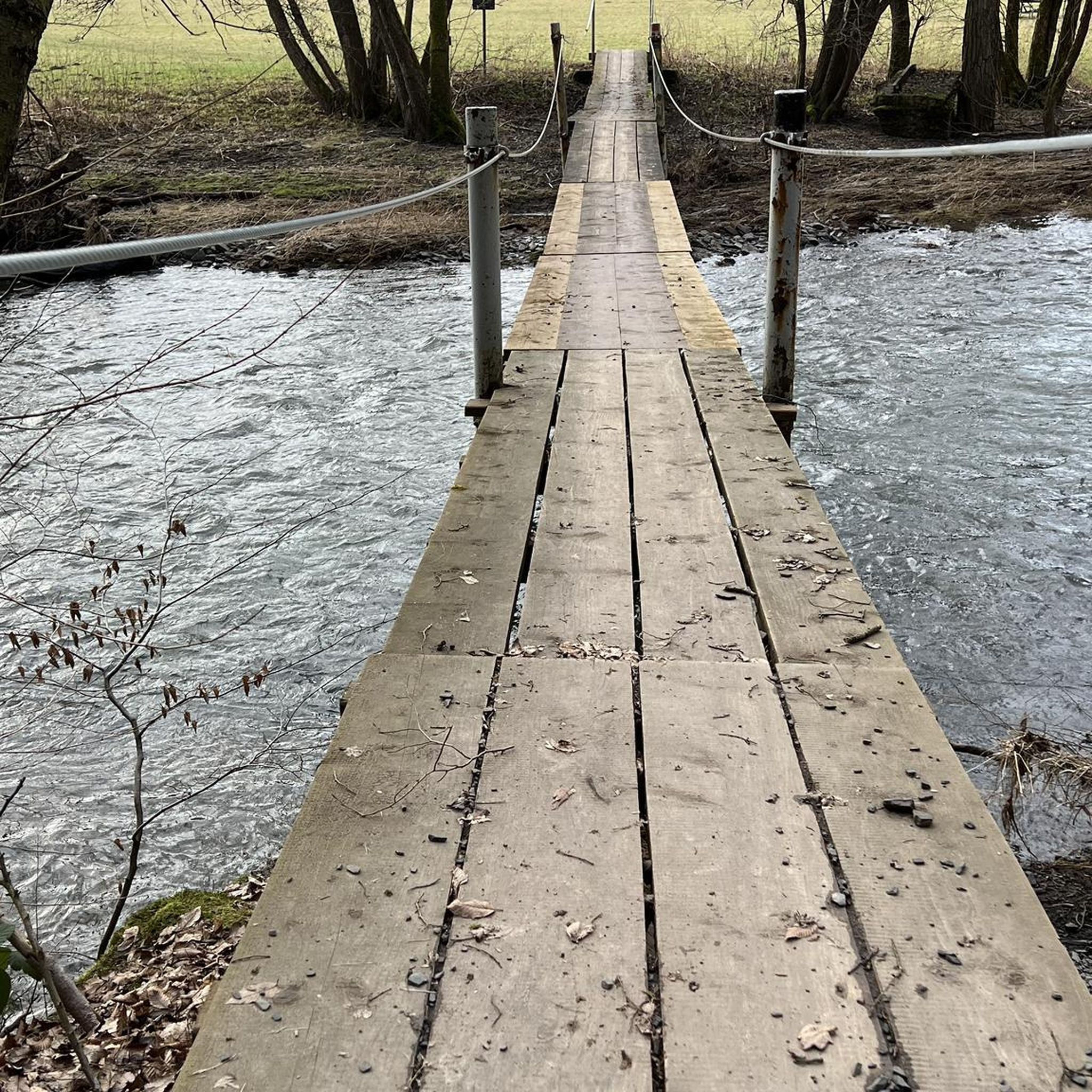
Mountain Hikes around Rottach Egern

Mountain Hikes around Spitzingsee
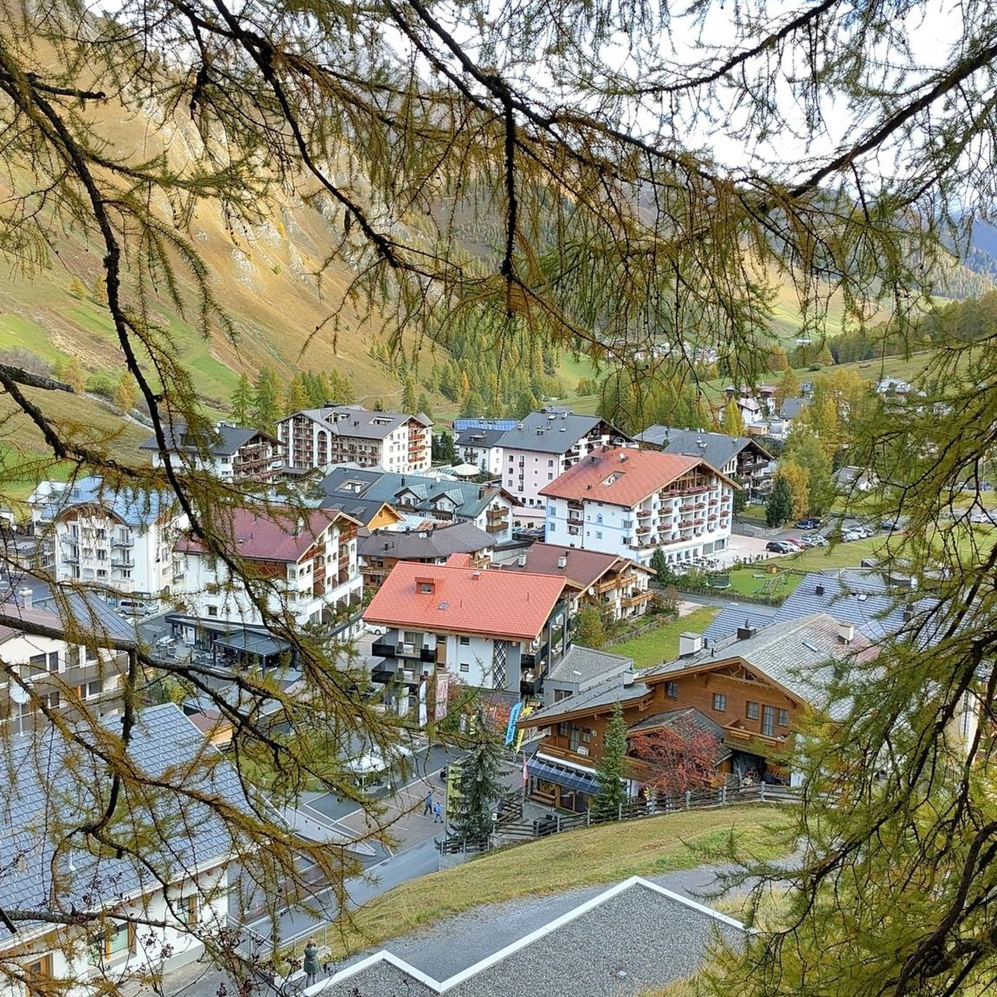
Mountain Hikes around Tegernsee

Mountain Hikes around Waakirchen

Mountain Hikes around Schliersee
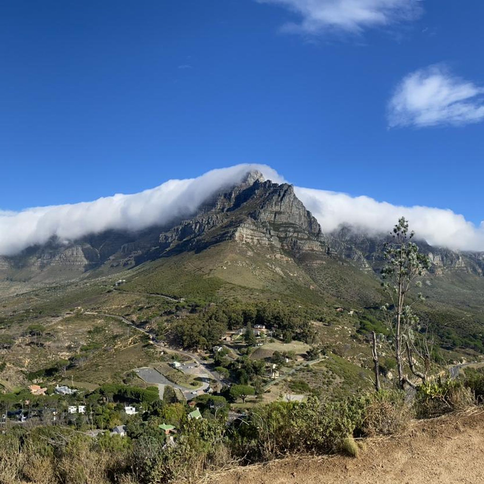
Mountain Hikes around Bad Wiessee

Mountain Hikes around Hausham
Other adventures in Landkreis Miesbach


Tips from the Community

One of several impressive peaks in the area with a top view. The mountain path in front and behind is harmless but strenuous in dry summer weather.
1
0

Very steep ascent and best avoided on weekends due to too many hikers.
0
0

1840m above sea level The 20m are surely due to the cairn builders, malicious tongues would claim! 🤣
0
0

Delicious beer with a great view
0
0
A beautiful, manageable summit offering stunning views in all directions. The ascent is straightforward in good weather, but requires a minimum level of fitness.
1
0
Here you have a beautiful view of the destination. The rest is less than it looks from here. So you're really close to the finish line. Besides, it's a beautiful spot in the mountains.
1
0

Great tours can be started from here.
0
0

If you go to the summit in the morning, there aren't many hikers around yet. The view of Lake Tegernsee is beautiful.
1
0
Frequently Asked Questions
How many mountaineering routes are available in Landkreis Miesbach?
Landkreis Miesbach offers a wide array of mountaineering experiences, with over 490 routes available. These range from moderate ascents to more challenging alpine tours, catering to various skill levels. Approximately 220 routes are considered moderate, while over 250 are classified as difficult.
What kind of views can I expect on mountaineering routes in Landkreis Miesbach?
The region is renowned for its stunning panoramic views. Many routes offer breathtaking vistas of the Bavarian Alps, including prominent peaks like Wendelstein, Rotwand, and Wallberg. You can also enjoy picturesque views of idyllic lakes such as Tegernsee and Schliersee. For example, the Wallberg Summit – View of Lake Tegernsee loop from Wald-Wild-Schongebiet Rinnerspitz provides exceptional lake views.
Are there any family-friendly mountaineering options in Landkreis Miesbach?
While many routes are challenging, there are options suitable for families, especially those looking for easier hikes. The area around Spitzingsee offers trails that can be combined with lakeside strolls, and the Schwarzenberg near Hundham is known for routes suitable for beginners and families, providing rewarding views.
Can I find circular mountaineering routes in the region?
Yes, many mountaineering routes in Landkreis Miesbach are designed as loops, allowing you to start and end at the same point. An example is the Breitenstein West Summit – Breitenstein Summit loop from Fischbachau, which explores the alpine scenery around the Breitenstein Summit.
What are some challenging mountaineering routes in Landkreis Miesbach?
For experienced mountaineers seeking a challenge, Landkreis Miesbach offers several difficult routes. The Roßstein Summit – Roßstein Secured Trail loop from Bayerwald is a demanding trail leading through challenging alpine terrain. Another difficult option is the Hubertusalm Mountain Hut – Breitenstein Summit loop from Geitau.
Are there opportunities to combine mountaineering with a visit to a mountain hut or pub?
Absolutely! The region has several mountain huts where you can take a break and enjoy refreshments. For instance, the Breitenstein Summit – Hubertusalm Mountain Hut loop from Fischbachau includes a visit to the Hubertusalm. You can also find huts like the Rotwandhaus and Aueralm Alpine Hut along various trails.
What do other mountaineers say about the routes in Landkreis Miesbach?
The mountaineering routes in Landkreis Miesbach are highly regarded by the komoot community, holding an impressive average rating of 4.7 stars from over 1,700 reviews. Users frequently praise the diverse terrain, from serene lakeshores to majestic mountain peaks, and the well-maintained trails that cater to various difficulty levels.
Are there any routes that pass by notable natural features or landmarks?
Yes, many routes offer opportunities to see significant natural features. The Wolfsschlucht Gorge – Schildenstein Summit Cross loop from Kreuth takes you through the scenic Wolfsschlucht Gorge. You can also find routes that offer views of the historic Wallberg Church or lead to summits like the Rohnberg summit (1,257 m).
What is the best time of year for mountaineering in Landkreis Miesbach?
The region is beautiful year-round, but the best time for mountaineering typically spans from late spring to early autumn (May to October) when trails are generally clear of snow and weather conditions are more stable. Some peaks, like Schwarzenberg, are also popular for winter activities, offering different experiences.
Are there any routes that offer a less crowded experience?
While popular areas like Spitzingsee and Wallberg can attract many visitors, exploring routes slightly off the main tourist paths or visiting during off-peak times can offer a more tranquil experience. The region's extensive network of trails means there are always opportunities to find quieter paths, especially on weekdays or earlier in the morning.
Can I find routes that include a lake experience?
Absolutely. Landkreis Miesbach is home to several beautiful lakes. The area around Spitzingsee is particularly popular, with routes like the Rotwand summit – Lake Spitzing loop from Spitzingsee allowing you to combine a mountain ascent with views of the lake. Tegernsee and Schliersee also offer stunning backdrops for various hikes.
Most popular routes in Landkreis Miesbach
Most popular attractions in Landkreis Miesbach

Get inspired with the komoot mobile app


Didn’t find what you were looking for?
Check out more Mountain Hikes & Routes throughout Landkreis Miesbach below and find the perfect route in your destination.
