The best road cycling routes around Ightfield
4.6
(44)
3,032
riders
304
rides
Road cycling routes around Ightfield traverse a serene, rural landscape in Shropshire, England, characterized by agricultural fields and gentle topography. The village itself sits at an average elevation of 100 meters, with gradients suitable for various cycling abilities. This area provides access to varied routes, offering a mix of quiet country lanes and paved surfaces.
Best road cycling routes around Ightfield
- The most popular road cycling route is Alderford Café loop from Whitchurch, a 13.5 miles (21.7 km) trail…
Last updated: July 5, 2026
7
riders
63.2km
02:50
360m
360m
Moderate road ride. Good fitness required. Mostly well-paved surfaces and easy to ride.
2
riders
63.4km
02:43
350m
350m
Moderate road ride. Good fitness required. Mostly well-paved surfaces and easy to ride.

Sign up for free
66
riders
21.7km
01:05
70m
70m
Moderate road ride. Great for any fitness level. Some segments of this route may be unpaved and difficult to ride.
51
riders
41.9km
01:51
280m
280m
Easy road ride. Great for any fitness level. Mostly well-paved surfaces and easy to ride.
5.0
(4)
49
riders
50.6km
02:08
300m
300m
Moderate road ride. Good fitness required. Mostly well-paved surfaces and easy to ride.
Get access to more routes and recommendations from other explorers.
Sign up for free
Already have an account?
Our route recommendations are based on thousands of hikes, rides, and runs completed by other people on komoot.
Start today with a free account
Your next adventure awaits.
Login or Signup
Popular around Ightfield
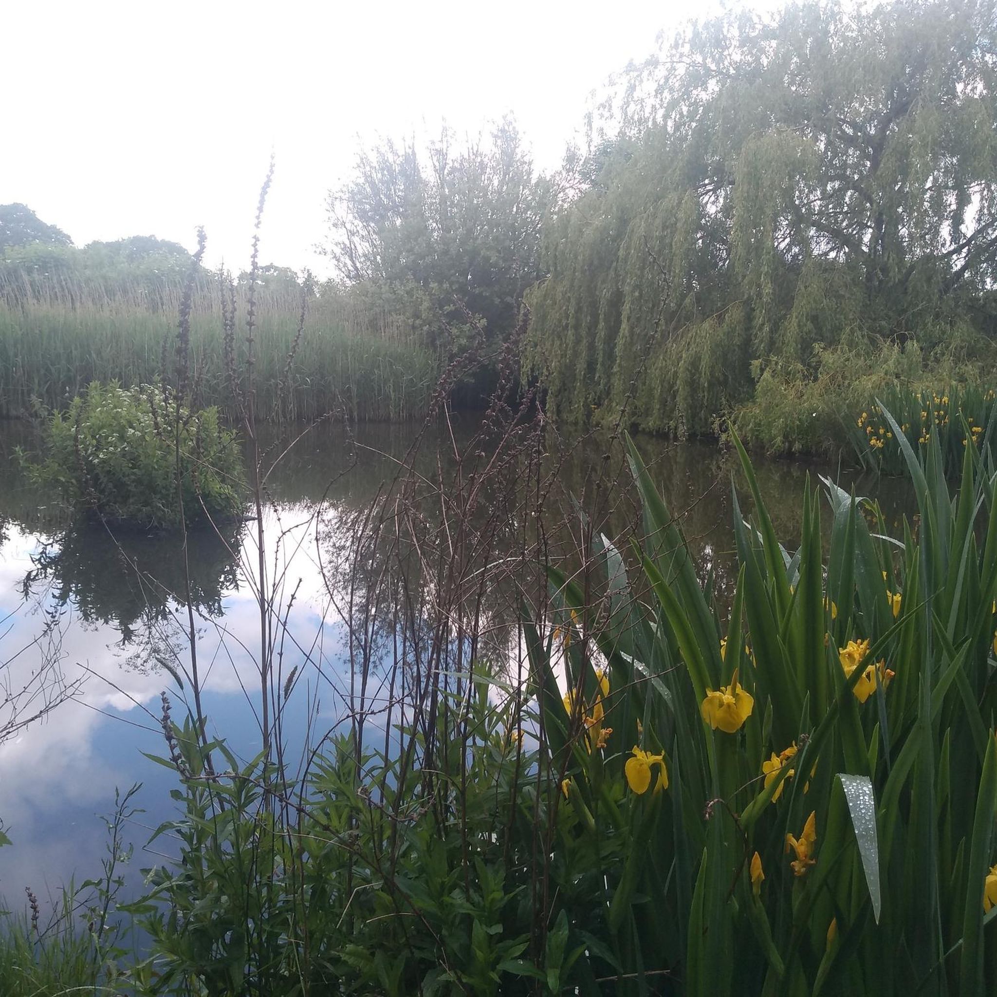
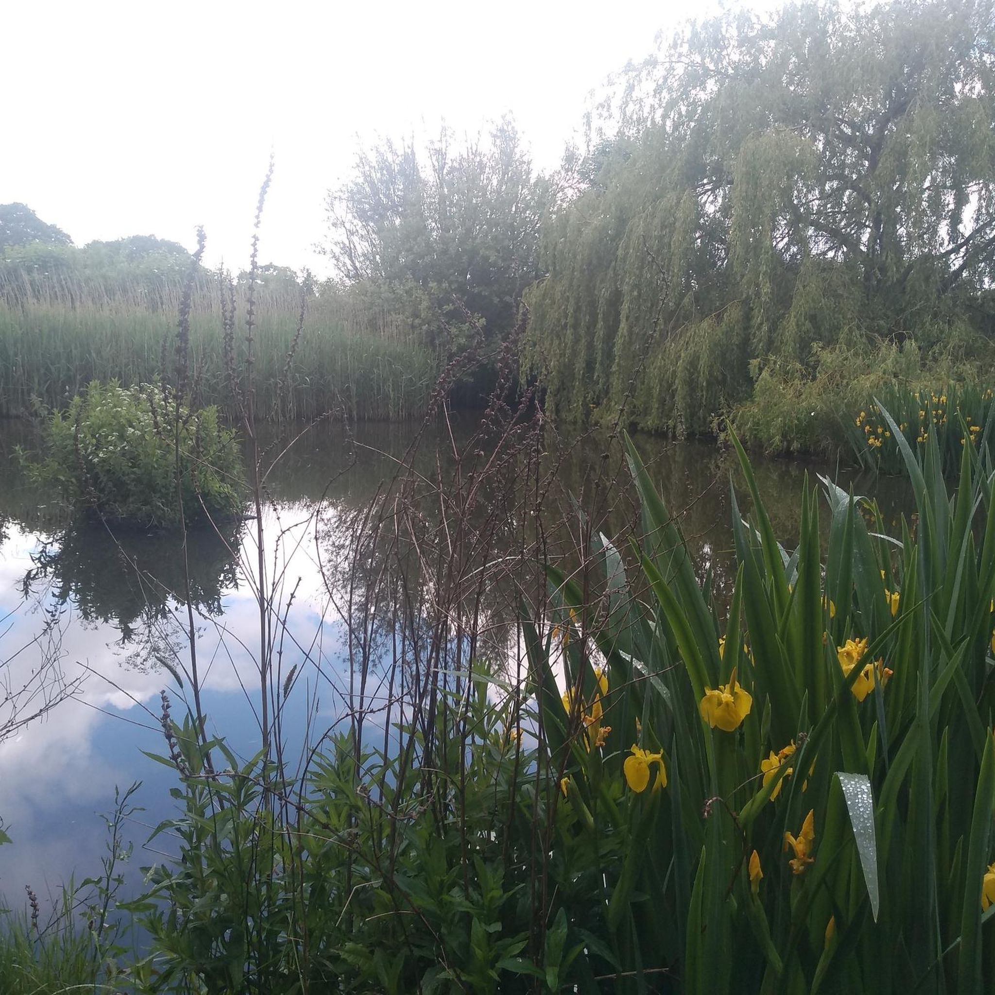

Tips from the Community

Lovely woodland flank the road. Many country lanes to explore around here.
0
0

Hanmer Mere (Welsh: Llyn Hanmer) is a natural lake and a site of Special Scientific Interest in Wrexham County Borough, Wales. The village of Hanmer is at the northern end of the lake. The lake is 18 hectares (44 acres) in extent.
5
0

The church of St Swithun in Cheswardine. First built in the 13th centaury with the tower added in the late 15th centaury and then several modifications since. It's now a grade 2 listed building. As a different rider said the deep porch is useful to escape the rain.
0
0

Hanmer is home to one of the nine Meres in this part of the world and it is a beautiful tranquil place. Having the bulk of St Chad's church looking down over the whole scene just adds to the ambience of the whole place.
0
0
Alderford lake is a beautiful location but it is a private lake with various fees associated with such venues. However it is a nice location and there is a cafe on site. It's a nice place for a break in a nice setting.
0
0

Great location for water activities (e.g. wild swimming 🏊🏼, aquapark, Stand Up Paddleboarding, kayak 🚣♀️..) and other adventures like 'Escape Island'. Furthermore, they also have a restaurant / café from which you have a view of the lake. Further info about their many fun activities as well as opening hours and prices can be found on https://alderford.com
0
0

The parish church, dedicated to St Swithun, overlooks Cheswardine from the hill at the top of the village. This is at least the third church on this site, and was rebuilt in 1887 - 1889 under the direction of the esteemed architect John Loughborough Pearson, who died before the work was completed. The work was completed with the assistance of funding by the then squire of the Cheswardine Estate, Charles Donaldson-Hudson, who evidently provided half of the estimated cost of £8,500.
0
0

Flowing roads through what feels like an Alpine forest. Tarmac isn't the best in places but nothing to massively complain about, well worth putting up with for the views and fresh air
0
0
Frequently Asked Questions
How many road cycling routes are available around Ightfield?
There are over 300 road cycling routes available around Ightfield on komoot, offering a wide variety of options for different skill levels and preferences. These routes traverse a serene, rural landscape with agricultural fields and gentle gradients.
What are the typical terrain and elevation like for road cycling near Ightfield?
The terrain around Ightfield is generally characterized by tranquil countryside and agricultural fields, with mostly paved surfaces. The average elevation in Ightfield is 100 meters, with a range between 76 and 140 meters, suggesting relatively gentle gradients suitable for various cycling abilities. While many routes are easy, some more challenging options offer up to 1500 feet of elevation gain over longer distances.
Are there any easy road cycling routes suitable for beginners or families?
Yes, Ightfield offers a good selection of easy road cycling routes. For instance, the Joules Brewery & The Lion Tap – Holy Trinity Church loop from Ightfield is an easy 21.3-mile trail. Another excellent option is the Dodington Town Hall – Bangor-on-Dee Bridge loop from Prees Heath East, which is a longer but easy 29.9-mile path, connecting several towns with mostly flat terrain.
What kind of landmarks or natural features can I expect to see along the cycling routes?
Road cycling routes around Ightfield offer glimpses of historical sites and natural beauty. You might pass by the picturesque Wrenbury Lift Bridge on the Llangollen Canal, or explore the beautiful Llangollen Canal itself. For a unique experience, consider routes that pass near The Grotto at Hawkstone Park, a series of caves and passages. The area also features several serene lakes and ponds, such as Alderford Lake and Big Mere Lake.
Are there any circular road cycling routes available?
Yes, many of the road cycling routes around Ightfield are designed as loops, offering convenient circular journeys. Examples include the popular Alderford Café loop from Whitchurch, a moderate 13.5-mile ride, and the Nantwich Lake – St James' Church, Audlem loop from Ightfield, a moderate 46.5-mile route.
What do other road cyclists enjoy most about cycling in Ightfield?
The road cycling experience around Ightfield is highly regarded by the komoot community, with an average rating of 4.6 stars from over 40 reviews. Cyclists often praise the tranquil countryside, the network of quiet country lanes, and the varied scenery that connects local villages and landmarks. The gentle gradients also make it accessible for a wide range of abilities.
Are there options for longer distance road cycling routes?
Absolutely. If you're looking for a longer ride, the Dodington Town Hall – Bangor-on-Dee Bridge loop from Prees Heath East covers nearly 30 miles (48.2 km) with mostly flat terrain. Another option is the Nantwich Lake – St James' Church, Audlem loop from Ightfield, which is a moderate 46.5-mile (74.9 km) route, offering a good challenge and varied scenery.
Can I find cafes or pubs along the road cycling routes in Ightfield?
Yes, several routes pass by or near places where you can stop for refreshments. For example, the Alderford Café loop from Whitchurch is named after a cafe along its path. The Joules Brewery & The Lion Tap – Holy Trinity Church loop from Ightfield also suggests opportunities for a stop. Additionally, the The Shroppie Fly, Audlem is a well-known pub in a nearby village that could be incorporated into a longer ride.
What is the best time of year to go road cycling around Ightfield?
Ightfield's rural landscape is enjoyable throughout the warmer months. Spring and summer offer pleasant conditions with blooming fields and longer daylight hours. Autumn can also be beautiful with changing foliage. While winter cycling is possible, be prepared for colder temperatures and potentially wet conditions on the country lanes.
Are there any challenging road cycling routes for experienced riders?
While many routes in Ightfield feature gentle gradients, there are options for more experienced riders seeking a challenge. Some routes offer up to 1500 feet of elevation gain over five hours, providing a good workout. The broader Shropshire Hills region, a National Landscape, also presents more extensive and diverse landscapes with rolling hills, which can be accessed from Ightfield for more demanding rides.
Is there public transport access to Ightfield for cyclists?
Ightfield is a small, rural village, and public transport options might be limited. It's advisable to check local bus schedules if you plan to arrive by public transport. Many cyclists prefer to drive to the area and park, or start their rides from nearby towns with better transport links.
Where can I find parking for road cycling routes in Ightfield?
As Ightfield is a rural area, specific designated parking for trailheads might be limited. Cyclists often find parking in nearby villages or towns like Whitchurch or Prees, which serve as common starting points for many routes. Always ensure you park responsibly and legally, respecting local residents and access points.
Most popular attractions around Ightfield

Get inspired with the komoot mobile app


Explore more
Browse the best Road cycling routes in other regions.
