The best road cycling routes around Glebe
166
riders
20
rides
Road cycling routes around Glebe offer a blend of urban and natural landscapes, situated just southwest of Sydney's central business district. The area is characterized by its harborside location, with Blackwattle Bay and Rozelle Bay providing scenic waterfront paths. Glebe's geology includes sandstone formations, and its historical vegetation featured eucalypts and angophoras on ridge tops, with tea-trees and mangroves closer to the water. The Glebe Foreshore Walk is a key feature, connecting open spaces and offering views of the city…
Last updated: July 7, 2026
10
riders
73.5km
03:14
520m
520m
Moderate road ride. Good fitness required. Mostly well-paved surfaces and easy to ride.
8
riders
39.3km
01:35
180m
180m
Easy road ride. Great for any fitness level. Mostly well-paved surfaces and easy to ride.

Sign up for free
9
riders
23.5km
00:56
120m
120m
Easy road ride. Great for any fitness level. Mostly well-paved surfaces and easy to ride.
5
riders
Easy road ride. Great for any fitness level. Mostly well-paved surfaces and easy to ride.
7
riders
58.1km
02:35
240m
240m
Moderate road ride. Good fitness required. Mostly well-paved surfaces and easy to ride.
Get access to more routes and recommendations from other explorers.
Sign up for free
Already have an account?
Our route recommendations are based on thousands of hikes, rides, and runs completed by other people on komoot.
Start today with a free account
Your next adventure awaits.
Login or Signup
Popular around Glebe

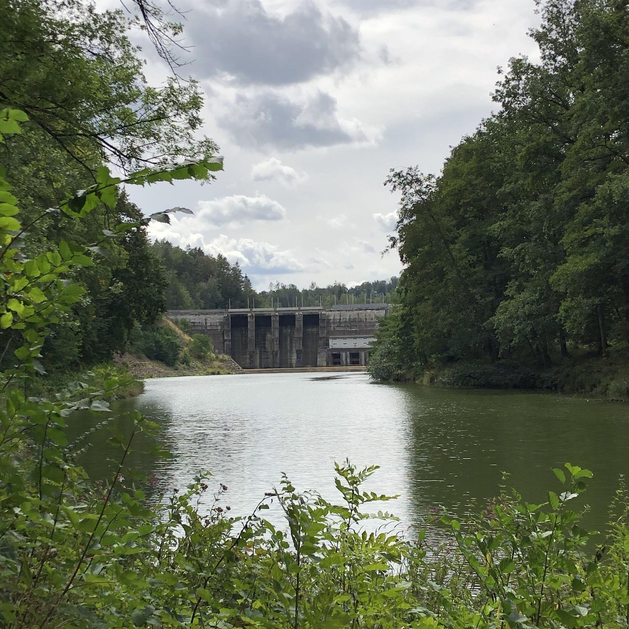
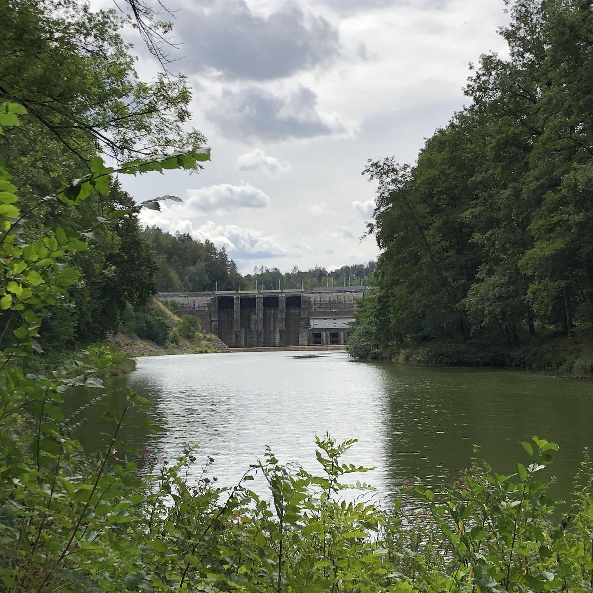
Tips from the Community

Burr Point marks the most easterly point on the island of Ireland. The spot is marked by a coastal sculpture by artist Ned Jackson Smyth. You can rest up in the sheltered cove which has a well-kept toilet and changing facilities close by.
1
0


Simple sandwiches, paninies and drinks. outdoor seating or in a covered space.
0
0

Bike parking, nice coffee and eats, friendly staff, nice view of the lough
1
0

Visitors to Corrog Wood will be greeted by a curious wooden sculpture of a Dryad. The sculpture has been affectionately named the ‘Frump in the Stump’. A dryad is a tree nymph in Greek mythology. The Dryad keeps a watchful, protective eye on the new wood standing at the entrance. Continue past the Dryad on through the little kissing gate and a loop pathway will be waiting to lead you around the 14-acre wood, where a mix of approximately 12,000 native trees and 400 metres of hedging have been planted.
0
0

Sketrick Castkle is a historic landmark situated on Sketrick Island near Whiterock. The castle dates back to the 12th century and the grounds are free to explore.
1
0
Ballyhornan is sandy beach surrounded by cliffs. Guns Island lies just in the bay. On the horizon it is possible to see the Isle of Man.
1
0
The Marina is a nature reserve of unparalleled beauty, it is a good starting point on which to explore the Lough.
0
0
Frequently Asked Questions
What types of road cycling routes can I find around Glebe?
Glebe offers a mix of urban and harborside road cycling experiences. You'll find routes that combine scenic waterfront paths with city views, catering to various skill levels. The area is known for its accessible green spaces and picturesque bays, providing a unique backdrop for your rides.
Are there road cycling routes suitable for beginners or those looking for an easy ride?
Yes, Glebe has several easy road cycling options. For instance, the View of Portaferry Harbor – Corrog Wood loop from Strangford is an easy 24.4-mile (39.3 km) path. The Glebe Foreshore Walk, while not a specific komoot route in the guide, is also described as suitable for leisurely rides with scenic views, forming part of larger cycling networks.
What are some longer or more challenging road cycling routes in the Glebe area?
For experienced cyclists seeking a longer ride, the Picnic Café – Daft Eddy's Coffee Shop loop from Saul is a moderate 45.7-mile (73.5 km) route, typically taking over three hours to complete. This route offers a more extensive cycling experience with varied terrain.
Can I find scenic routes with good views around Glebe?
Absolutely. Glebe's harborside location means many routes offer spectacular vistas. The Glebe Foreshore Walk, for example, provides stunning views of the harbor and city skyline, including the Anzac Bridge, Glebe Island Bridge, and the Sydney Harbour Bridge. Routes like the View of Portaferry Harbor – Corrog Wood loop from Strangford also highlight scenic harbor views.
Are there any family-friendly road cycling paths in Glebe?
The Glebe Foreshore Walk is an excellent option for families, offering a picturesque and mainly off-road experience. It links 27 hectares of open space and is suitable for both pedestrians and cyclists, providing a safe and enjoyable environment for all ages.
Are there dog-friendly cycling paths in Glebe?
Yes, the Glebe Foreshore Walk is known for being dog-friendly, with designated areas allowing off-leash access. This makes it a great choice if you wish to bring your canine companion along for a ride, though always ensure to check local regulations for specific sections.
What landmarks or points of interest can I see along road cycling routes near Glebe?
While cycling around Glebe, you can enjoy views of iconic Sydney landmarks like the Anzac Bridge, Glebe Island Bridge, and the Sydney Harbour Bridge. Further afield, you might encounter historical sites such as Audley's Castle or natural features like Delamont Country Park, depending on your chosen route.
How many road cycling routes are available in the Glebe area on komoot?
There are over 20 road cycling routes around Glebe available on komoot, ranging from easy to moderate difficulty, ensuring options for various preferences and fitness levels.
What do other cyclists say about road cycling in Glebe?
The komoot community highly rates the road cycling experiences in Glebe. Over 190 road cyclists have explored the area using komoot, appreciating the blend of urban charm, natural beauty, and harborside paths that define the region's cycling landscape.
Are there any coastal road cycling routes around Glebe?
Yes, Glebe's proximity to Blackwattle Bay and Rozelle Bay means many routes feature coastal elements. The Ballyhornan Beach – Killough–Strangford Loop loop from Ballymurry is a 14.6-mile (23.5 km) trail that leads through coastal areas, offering refreshing sea air and views.
What is the best time of year for road biking in Glebe?
Sydney generally offers pleasant cycling conditions for much of the year. The region's climate makes spring and autumn particularly ideal, with milder temperatures and less humidity. Summer can be warm, but early mornings or late afternoons are still enjoyable for rides along the foreshore.
Are there options for parking or public transport access for cyclists in Glebe?
Glebe is well-connected, being just 3 kilometers southwest of Sydney's CBD. While specific parking for cyclists isn't detailed in the guide, its urban location suggests various public transport options are available. The planned cycleway connecting the Bay Run to Bays West will also serve as a main bicycle commuter route into the city, enhancing accessibility for cyclists.
Most popular routes around Glebe
Most popular attractions around Glebe

Get inspired with the komoot mobile app


Explore more
Browse the best Road cycling routes in other regions.
