The best cycling routes around Ballywoodan
5.0
(2)
74
riders
14
rides
Touring cycling routes around Ballywoodan are situated in County Down, Northern Ireland, offering access to diverse landscapes. The region is characterized by its proximity to Strangford Lough, featuring quiet country roads, coastal paths, and rolling farmland. Cyclists can expect a mix of flat stretches and gentle undulations, with green countryside and charming villages defining the terrain.
Best touring cycling routes around Ballywoodan
- The most popular touring cycling route is Kilclief to Ardglass Harbour loop —Strangford & Lecale, a 18.1…
Last updated: June 29, 2026
4
riders
29.2km
01:46
150m
150m
Embark on the Kilclief to Ardglass Harbour loop, a moderate touring cycling route that takes you along the scenic coast of Strangford & Lecale. This 18.1-mile (29.2 km) journey offers…
3
riders
57.1km
03:21
270m
270m
Moderate bike ride. Good fitness required. Mostly paved surfaces. Suitable for all skill levels.

Sign up for free
5
riders
15.8km
00:57
80m
80m
Easy bike ride. Great for any fitness level. Mostly paved surfaces. Suitable for all skill levels.
1
riders
30.3km
01:48
160m
150m
Moderate bike ride. Good fitness required. Mostly paved surfaces. Suitable for all skill levels.
34.1km
02:02
220m
220m
Embark on the Saul to St Patrick's Well loop, a moderate touring bicycle ride spanning 21.2 miles (34.1 km) with an elevation gain of 735 feet (224 metres), typically completed…
Get access to more routes and recommendations from other explorers.
Sign up for free
Already have an account?
Our route recommendations are based on thousands of hikes, rides, and runs completed by other people on komoot.
Start today with a free account
Your next adventure awaits.
Login or Signup
Popular around Ballywoodan
Tips from the Community

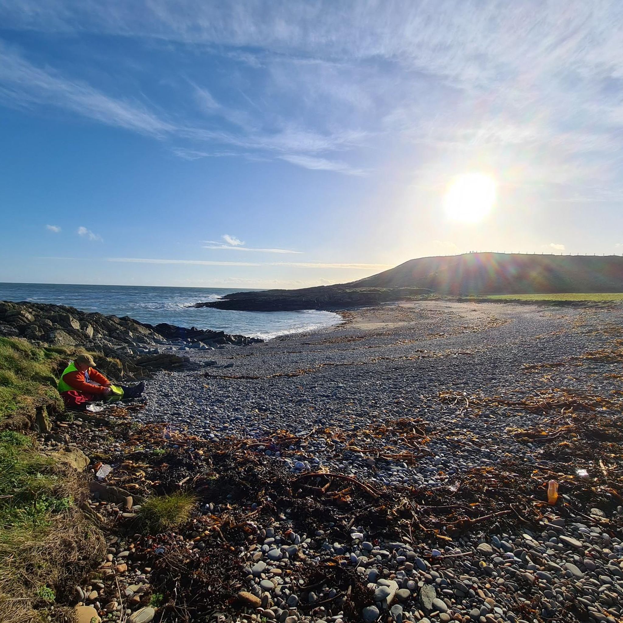
Burr Point marks the most easterly point on the island of Ireland. The spot is marked by a coastal sculpture by artist Ned Jackson Smyth. You can rest up in the sheltered cove which has a well-kept toilet and changing facilities close by.
1
0

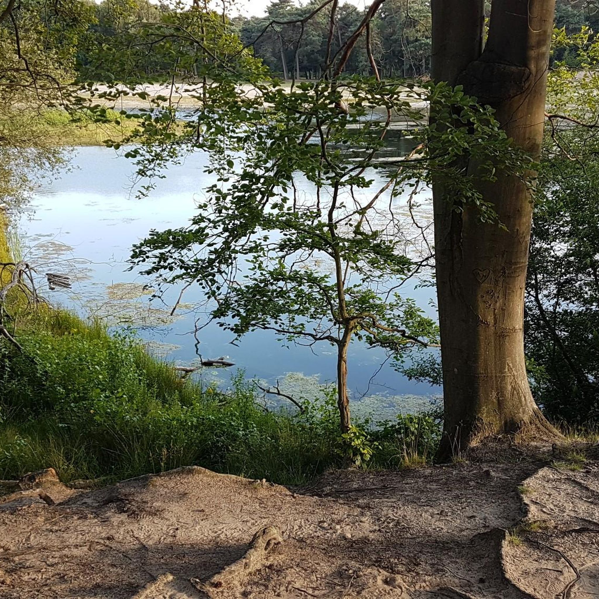
Lough Money is a quiet, almost mystical place, perfect for relaxing and taking a deep breath. The gentle waves of the lake gently hit the shore, while the reeds sway in the wind, creating a gentle rustling sound. Surrounded by rolling countryside and shady trees, you feel like you've been transported to another world. Ideal for a break on your bike ride.
0
0
This impressive stone circle, dating from the late Neolithic to early Bronze Age, consists of over 50 upright stones enclosing a diameter of around 35 metres. Access is via a narrow hedge-lined path that takes you directly to the entrance of the circle
1
0

Built in 1622 by Roland Savage. The tower has had several alterations over its past. The neo gothic style was introduced in the early 19th century.
0
0
Visitors to Corrog Wood will be greeted by a curious wooden sculpture of a Dryad. The sculpture has been affectionately named the ‘Frump in the Stump’. A dryad is a tree nymph in Greek mythology. The Dryad keeps a watchful, protective eye on the new wood standing at the entrance. Continue past the Dryad on through the little kissing gate and a loop pathway will be waiting to lead you around the 14-acre wood, where a mix of approximately 12,000 native trees and 400 metres of hedging have been planted.
0
0
One of the best kept Circles I know of. The late Neolithic to earlier Bronze Age monument was excavated in 1937–1939 but its development and date are still not entirely clear. Excavation uncovered a slab feature with three compartments at the west end of the cairn, which could suggest the court tomb tradition, and a single stone cist at the east end which could point to the passage tomb tradition. Cremated remains representing at least seven individuals and some Neolithic pottery were found. Parallels for the outer stone circle with sites in Cumbria have been suggested.
1
0
The Well is an ancient site of pilgrimage with legends of Saint Patrick. The waters of the well are said to cure any ailment. Saint Patrick founded Ardtole Church which can be seen on the horizon. In the next field at low tide Saint Patrick's Road becomes visible. This was to be his route to the Isle of Man but when a red haired woman crossed his path he seen it as a bad omen and didn't make the journey.
0
0
Lough Money is the source for the River Slaney, which flows to the supposed landing spot of Saint Patrick on Strangford Lough. Lough Money’s water is remarkably clear as befits a facility that was once used as a reservoir for Downpatrick. The remains of the disused pumping station still stand on the island. Beautified by the presence of herons, just one of many bird species that comprise an abundance of bird life.
1
0
Frequently Asked Questions
How many touring cycling routes are available around Ballywoodan?
There are over 15 touring cycling routes around Ballywoodan, offering a variety of experiences. These routes range from easy, leisurely rides to more moderate challenges, catering to different skill levels.
What kind of terrain can I expect on touring cycling routes around Ballywoodan?
Touring cycling routes around Ballywoodan primarily feature quiet country roads, coastal paths, and rolling farmland. You can expect a mix of flat stretches, particularly around Strangford Lough, and gentle undulations through green countryside and charming villages. While the immediate area is not mountainous, the broader County Down offers diverse landscapes.
Are there easy touring cycling routes suitable for beginners or families?
Yes, Ballywoodan offers several easy touring cycling routes perfect for beginners or families. For instance, the Portaferry to Quintin Castle loop is an easy 9.8-mile (15.8 km) path with coastal scenery. The region's proximity to the Comber Greenway also provides a traffic-free, paved option for relaxed cycling.
Are there any circular touring cycling routes in the Ballywoodan area?
Yes, many routes in the Ballywoodan area are designed as loops, offering convenient circular tours. The Kilclief to Ardglass Harbour loop is a popular 18.1-mile (29.2 km) option, and the Portaferry to Quintin Castle loop is another great choice. The wider Strangford Lough Cycle Trail is also an 82-mile circular route that can be enjoyed in sections.
What scenic viewpoints or natural features can I see along the touring cycling routes?
Cycling around Ballywoodan offers stunning scenic views, especially along Strangford Lough and the Irish Sea coast. You can enjoy vistas of rolling farmland, diverse wildlife including herons and seals, and distant views of the Mourne Mountains. The Forest Path Along Strangford Lough provides beautiful natural scenery.
Are there any historical sites or landmarks to explore while cycling?
Absolutely. The area is rich in history. On your rides, you can pass by significant landmarks such as Castle Ward Tower (a filming location for Winterfell), Audley's Castle, and the historic Quintin Castle. The Saul to St Patrick's Well loop will take you past St Patrick's Well.
Can I visit any parks or natural areas on a touring cycling trip?
Yes, several parks and natural areas are accessible. Delamont Country Park, located on the shores of Strangford Lough, is a great stop featuring the Strangford Stone. The entire area around Strangford Lough is an Area of Outstanding Natural Beauty (AONB), ensuring protected scenic vistas throughout your ride.
What is the best time of year for touring cycling around Ballywoodan?
The best time for touring cycling around Ballywoodan is generally during the spring, summer, and early autumn months (April to October). During these periods, the weather is typically milder and drier, offering more pleasant conditions for exploring the coastal paths and country roads. Always check local weather forecasts before heading out.
Are there places to eat or stay near the cycling routes?
Yes, charming harbour towns and villages like Downpatrick, Killyleagh, and Portaferry, which are often along or near cycling routes, offer opportunities for cultural stops, refreshments, and accommodation. You'll find cafes, pubs, and guesthouses to cater to your needs.
What do other cyclists say about touring cycling in Ballywoodan?
The touring cycling routes around Ballywoodan are highly rated by the komoot community, with an average score of 5.0 stars from over 3 reviews. Cyclists often praise the diverse landscapes, from coastal paths to rolling farmland, and the quiet country roads that make for a peaceful and enjoyable ride.
Are there any routes that offer views of the Ards Peninsula?
Yes, the Ards Peninsula half loop from Portaferry is a 35.5-mile (57.1 km) trail that leads through the Ards Peninsula, offering spectacular sea views and access to sandy beaches. Another option is the Portaferry to Kirkistown Castle loop, which also explores this scenic area.
Are there any specific parking areas for accessing the cycling trails?
Many of the routes start from towns or villages that offer public parking. For example, if you're exploring the Castle Ward area, Castle Ward Shore Car Park is a convenient option. It's always advisable to check the starting point of your chosen route for specific parking information.
Most popular routes around Ballywoodan
Most popular attractions around Ballywoodan

Get inspired with the komoot mobile app


Explore more
Browse the best Cycling routes in other regions.
