The best walks and hikes around Shelley
4.7
(708)
3,917
hikers
231
hikes
Hiking around Shelley offers routes through the gentle agricultural landscape of the Dedham Vale Area of Outstanding Natural Beauty. The region is characterized by rolling farmland, quiet country lanes, and pockets of woodland. Trails often follow public footpaths across fields and connect small villages, providing a peaceful outdoor experience with minimal elevation changes.
Best hiking trails around Shelley
- The most popular hiking route is Tendring Hall Park loop from Stoke-by-Nayland — Dedham Vale, a 7.5 mile (12.1 km) trail that takes around 3 hours 10 minutes to complete. This moderate route explores the area around the former Tendring Hall estate.
- Another top favourite among local hiking enthusiasts is Polestead loop through Polestead Duck Pond — Dedham Vale, a moderate 7.0 mile (11.2 km) path. The trail passes through classic Suffolk countryside and features the village of Polstead.
- Local hiking enthusiasts also love the Polstead Duck Pond – View of Dedham Vale loop from Stoke-by-Nayland, a 4.2 mile (6.8 km) trail leading through fields and past village ponds, often completed in about 1 hour 50 minutes.
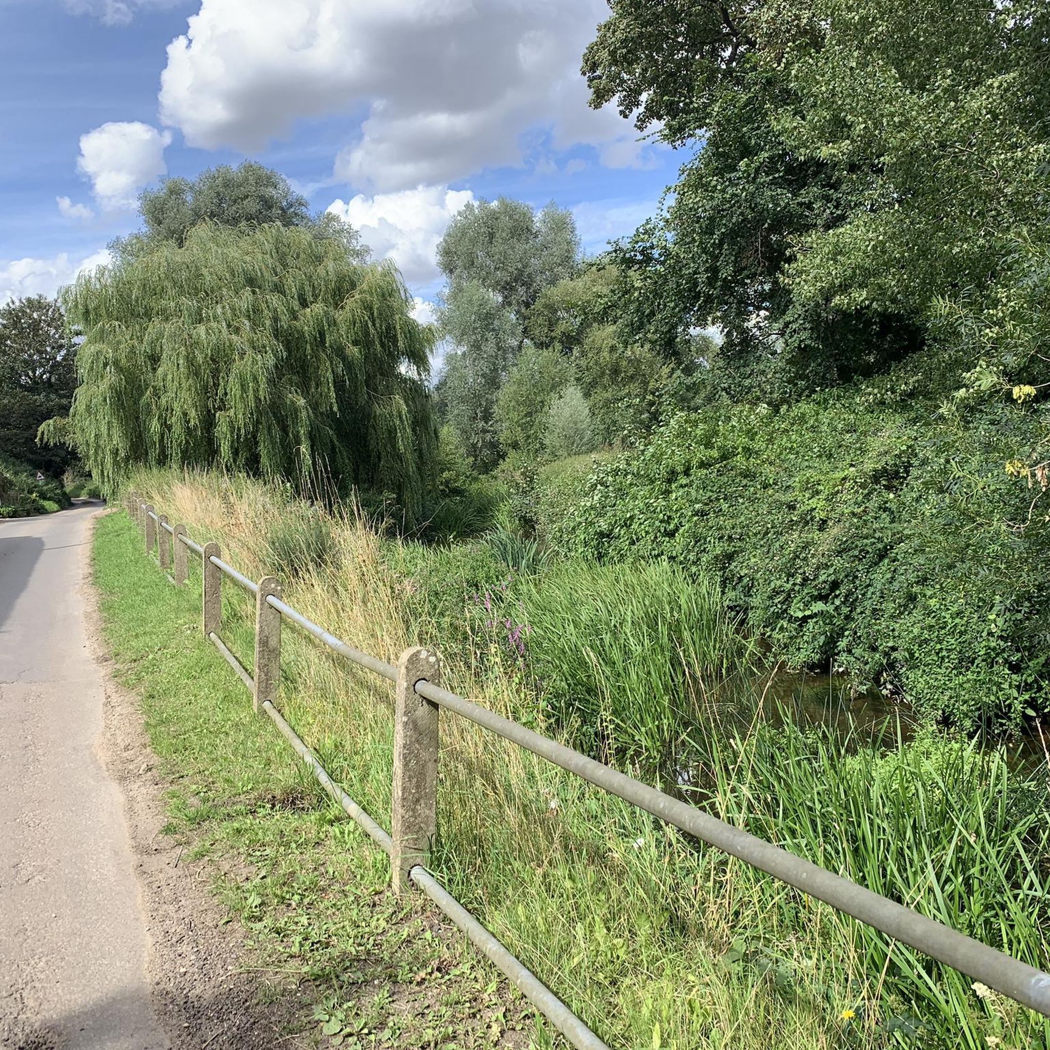
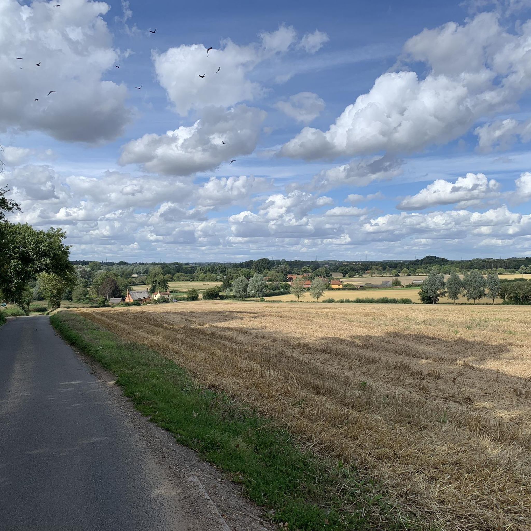
- Hiking around Shelley is defined by pastoral scenery, quiet village paths, and walks through the Dedham Vale. The network of trails provides options suitable for different ability levels, from short, easy loops to more moderate countryside circuits.
- The routes in Shelley are highly rated by the komoot community with an average score of 4.7 stars from 600 reviews. More than 3,500 hikers have used komoot to explore Shelley's varied terrain.
Last updated: June 25, 2026
1
hikers
11.2km
02:56
80m
80m
Moderate hike. Good fitness required. Easily-accessible paths. Suitable for all skill levels.
4.7
(6)
33
hikers
8.59km
02:15
60m
70m
Moderate hike. Good fitness required. Easily-accessible paths. Suitable for all skill levels.

Sign up for free
4.0
(1)
6
hikers
11.2km
02:59
120m
120m
Moderate hike. Good fitness required. Easily-accessible paths. Suitable for all skill levels.
1
hikers
5.38km
01:25
50m
50m
Easy hike. Great for any fitness level. Easily-accessible paths. Suitable for all skill levels.
1
hikers
12.7km
03:20
100m
110m
Moderate hike. Good fitness required. Easily-accessible paths. Suitable for all skill levels.
Get access to more routes and recommendations from other explorers.
Sign up for free
Already have an account?
Our route recommendations are based on thousands of hikes, rides, and runs completed by other people on komoot.
Start today with a free account
Your next adventure awaits.
Login or Signup

Tips from the Community


As with much of Suffolk. Polstead Pond is another gem worthy of a detour
0
0

The name Polstead means place by the pool. The benches by the village pond are a great spot to rest and enjoy the peace of a classic Suffolk village, surrounded by history, and picture perfect timber-framed and thatched cottages.
1
0


In a scenic spot overlooking the village green. Open 9-4.30 weekdays, 9-1 Sat, closed Sun.
0
0

A footpath runs directly through Tendring Hall Park and passes right past the farm. The hall itself was demolished back in 1955 but the grounds of the old house can still be enjoyed.
1
0
Frequently Asked Questions
Are there any dog-friendly hiking trails near Shelley?
Yes, many trails in the region are suitable for hiking with dogs, but it's always best to keep them on a leash. The trails in the Caribou-Targhee National Forest, such as those in Wolverine Canyon, are popular options for dog walkers. Always check local regulations before you go and be sure to pack out any waste.
What are some good, easy hikes for beginners or families?
For a gentle and accessible outdoor experience, the
Idaho Falls Greenbelt is an excellent choice. It offers five miles of paved pathways along the Snake River, perfect for a family walk or stroll. For a more traditional trail experience, the Bailey Creek Springs trail in the Blackfoot Mountains is a relatively flat 3.6-mile loop with minimal elevation gain, making it suitable for most fitness levels.
Can I find any hikes with waterfalls in the Shelley area?
While the immediate Shelley area is more known for its river and canyon landscapes, you can find waterfalls by exploring the wider region. The Idaho Falls on the Snake River, visible from the Greenbelt, are a major scenic feature. For natural waterfalls on a trail, you may need to venture further into the Caribou-Targhee National Forest, where trails like Palisades Creek near Irwin are famous for their beautiful cascades.
What is the best time of year to go hiking around Shelley?
Late spring through early fall, typically from May to October, is the ideal time for hiking near Shelley. During these months, the weather is generally pleasant, and the trails are free of snow. Summer offers the warmest temperatures, while fall provides cooler weather and beautiful foliage, particularly in the forested areas.
Are there any challenging, long-distance trails nearby?
Yes, for those seeking a more strenuous challenge, the surrounding mountains offer longer and more rugged trails. The Caribou-Targhee National Forest contains an extensive network of trails suitable for long-distance hiking. Trails like the Wolverine Canyon Loop offer significant elevation gain over a shorter distance, while other routes in the Blackfoot Mountains provide opportunities for full-day treks.
What are the trail conditions like in the Blackfoot Mountains?
Trails in the Blackfoot Mountains typically feature rolling hills, rocky canyons, and shrub-steppe landscapes. Expect paths that can be uneven and rocky in places. The Wolverine Canyon area, for example, has trails with considerable elevation gain. It's a rare forested area in the region, so you'll experience a mix of exposed and shaded sections.
Where can I park for hikes in the area?
Most designated trailheads, such as those in Wolverine Canyon and other parts of the Caribou-Targhee National Forest, have parking areas. For walks along the Snake River,
North Bingham County Park offers ample parking and facilities. When accessing the Idaho Falls Greenbelt, there are multiple parking lots available along the route in Idaho Falls.
Are there any paved trails suitable for walking or running?
Absolutely. The most well-known paved trail is the Idaho Falls Greenbelt, which runs for five miles along both sides of the Snake River in nearby Idaho Falls. It's a fantastic, scenic option for walking, running, and cycling. The local North End Recreation District is also working on developing more paved walking paths within the Shelley area itself.
What kind of scenery can I expect on hikes near Shelley?
The landscape offers a unique mix of scenery. You'll find peaceful riverside walks along the Snake River, set against a backdrop of fertile agricultural plains. To the east, the terrain becomes more rugged with the rolling, shrub-covered hills and rocky canyons of the Blackfoot Mountains, offering expansive views of the Snake River Plain.
Are there places to go camping near the hiking trails?
Yes, camping is available in the region. Wolverine Canyon is a popular public area that offers opportunities for camping in addition to hiking. For more developed facilities, North Bingham County Park provides RV parking and campsites with access to the Snake River.
How many hiking trails are there around Shelley?
There are over 200 hiking routes to explore in and around the Shelley region. These range from easy riverside walks to moderate and difficult mountain trails, offering a wide variety of options for all skill levels.
What do other hikers say about the trails in this region?
The hiking routes around Shelley are highly regarded by the komoot community. Many hikers praise the diversity of the landscape, from the peaceful paths along the Snake River to the more challenging and scenic trails in the Blackfoot Mountains. The accessibility of trails for different fitness levels is also a frequently mentioned highlight.
Most popular routes around Shelley
Most popular attractions around Shelley

Get inspired with the komoot mobile app


Explore more
Browse the best Hikes in other regions.
