The best mountain hikes in Landkreis Eichstätt
4.2
(90)
380
hikers
13
hikes
Mountaineering routes in Landkreis Eichstätt are primarily found within the Altmühltal Nature Park, a region characterized by its southern Frankish Alb geology. The landscape features prominent Jura limestone cliffs, which offer varied terrain for climbing and challenging hikes. The Altmühl river meanders through the valley, complemented by diverse ecosystems including forests and meadows.
Best mountaineering routes in Landkreis Eichstätt
- The most popular mountaineering route is Dohlenfelsen – Rock Window loop from Wellheim, a 4.3 miles (6.9 km) difficult trail…
Last updated: September 25, 2026
4.5
(36)
148
hikers
6.87km
02:20
170m
170m
Hard mountaineering route. Good fitness required. Sure-footedness, sturdy shoes and alpine experience required.
4.4
(34)
126
hikers
6.89km
02:20
170m
170m
Hard mountaineering route. Good fitness required. Sure-footedness, sturdy shoes and alpine experience required.

4.0
(1)
11
hikers
11.6km
03:30
310m
310m
Hard mountaineering route. Good fitness required. Sure-footedness, sturdy shoes and alpine experience required.
5.0
(2)
13
hikers
6.71km
02:08
90m
100m
Hard mountaineering route. Good fitness required. Sure-footedness, sturdy shoes and alpine experience required.
3.0
(2)
10
hikers
2.17km
00:49
80m
80m
Hard mountaineering route. Great for any fitness level. Sure-footedness, sturdy shoes and alpine experience required.
5.0
(1)
6
hikers
Moderate mountaineering route. Good fitness required. Mostly accessible paths. Sure-footedness required.
3.0
(1)
2
hikers
3.04km
00:57
60m
60m
Hard mountaineering route. Great for any fitness level. Sure-footedness, sturdy shoes and alpine experience required.
Get access to more routes and recommendations from other explorers.
Already have an account?
Our route recommendations are based on thousands of hikes, rides, and runs completed by other people on komoot.
Start today with a free account
Your next adventure awaits.
Popular around Landkreis Eichstätt
Mountain Hikes around Eichstätt
Mountain Hikes around Egweil
Mountain Hikes around Dollnstein
Mountain Hikes around Wellheim
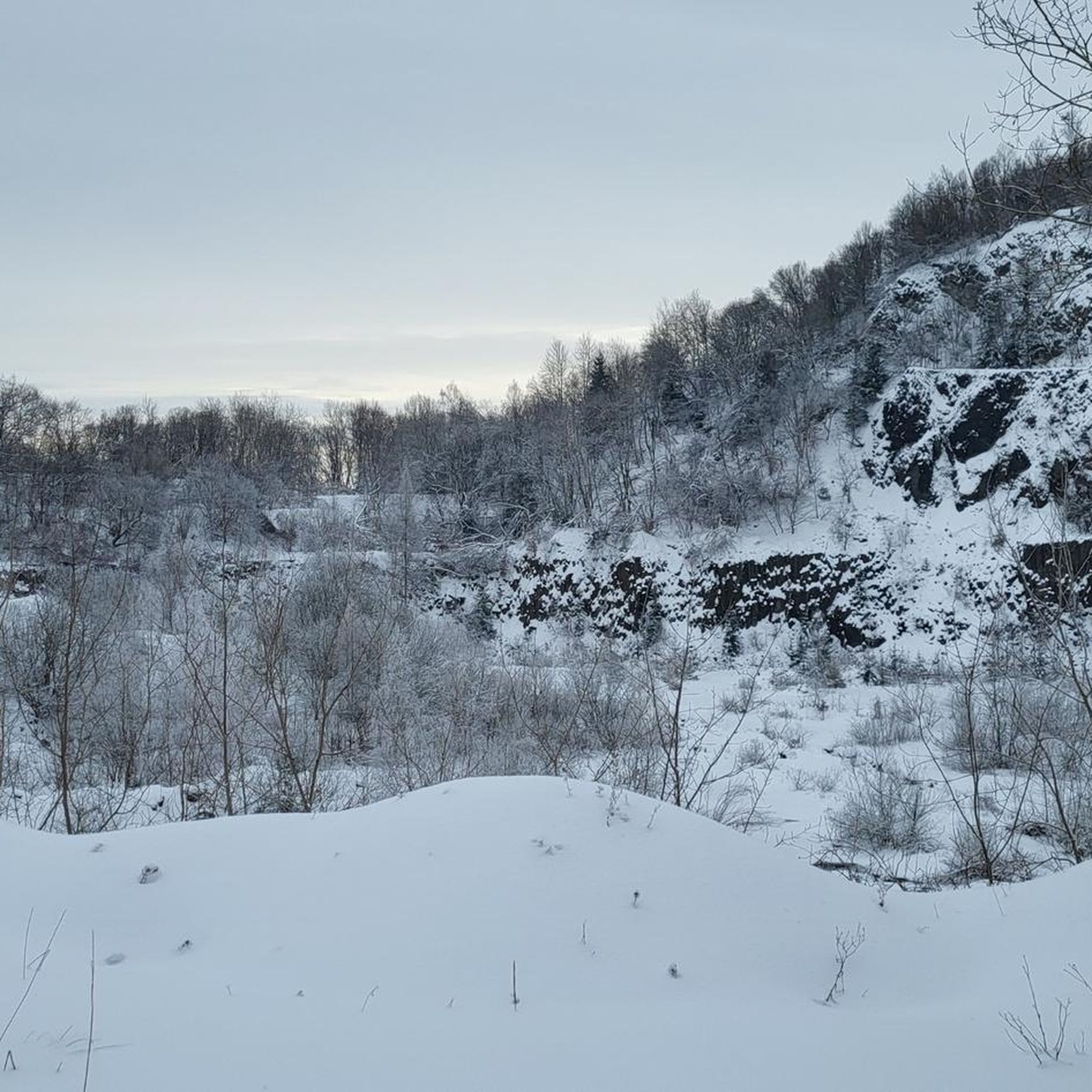
Mountain Hikes around Schernfeld
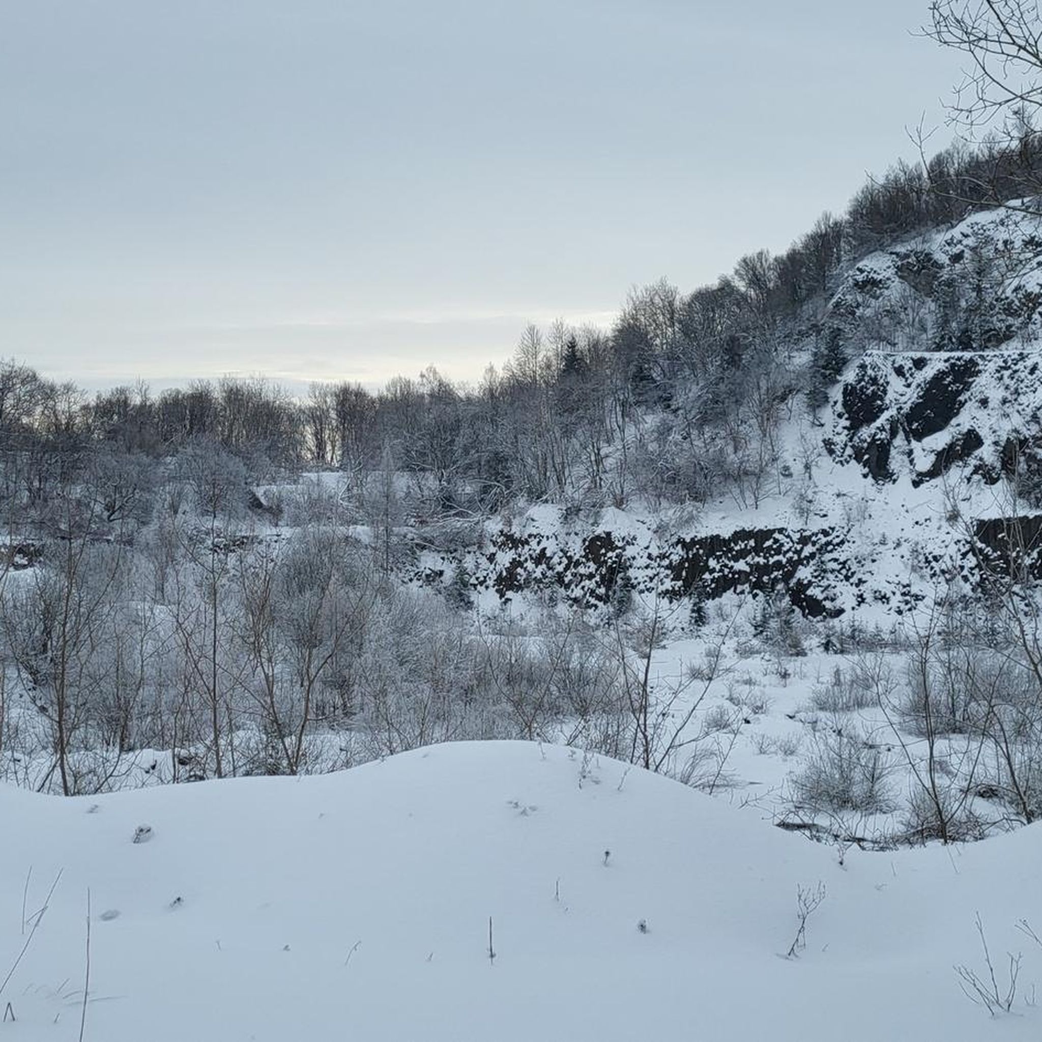
Mountain Hikes around Mörnsheim
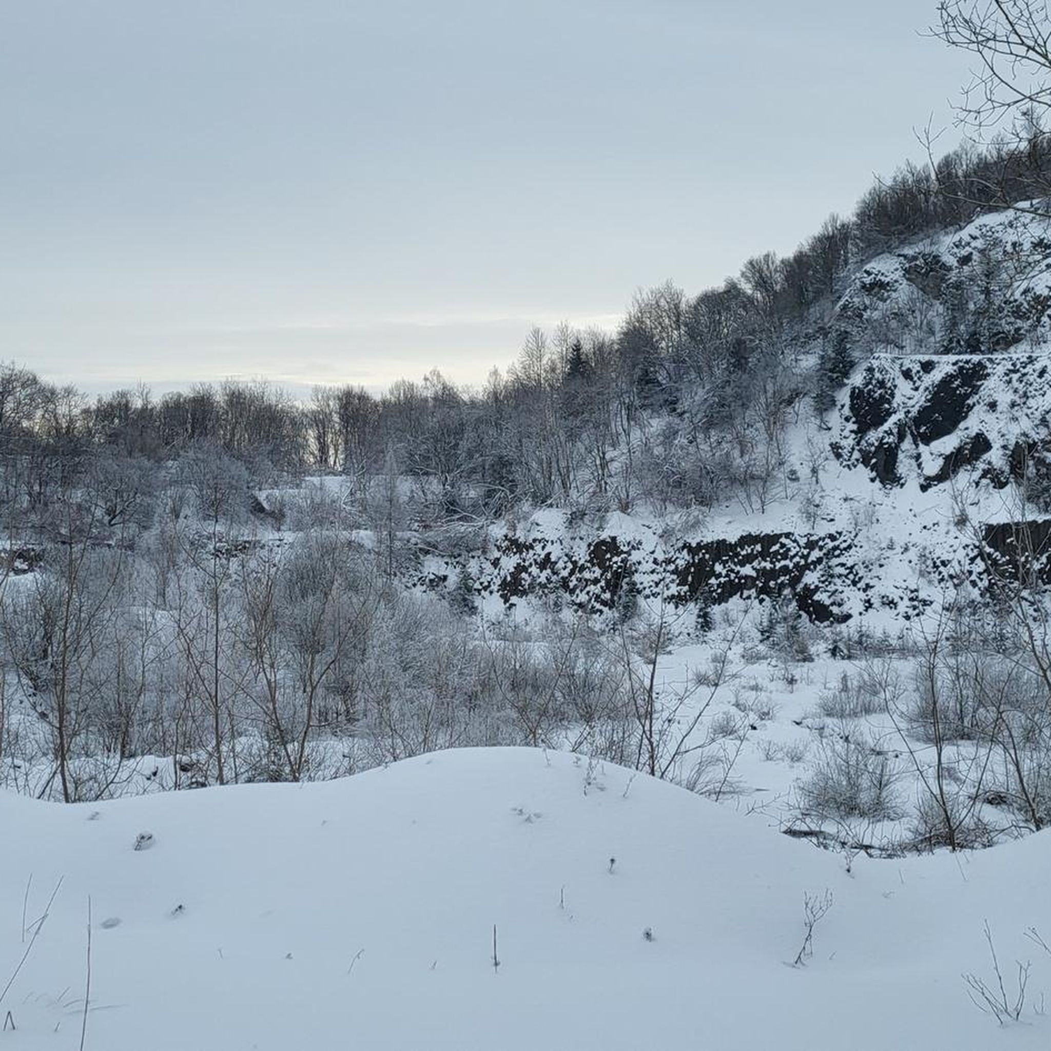
Mountain Hikes around Adelschlag
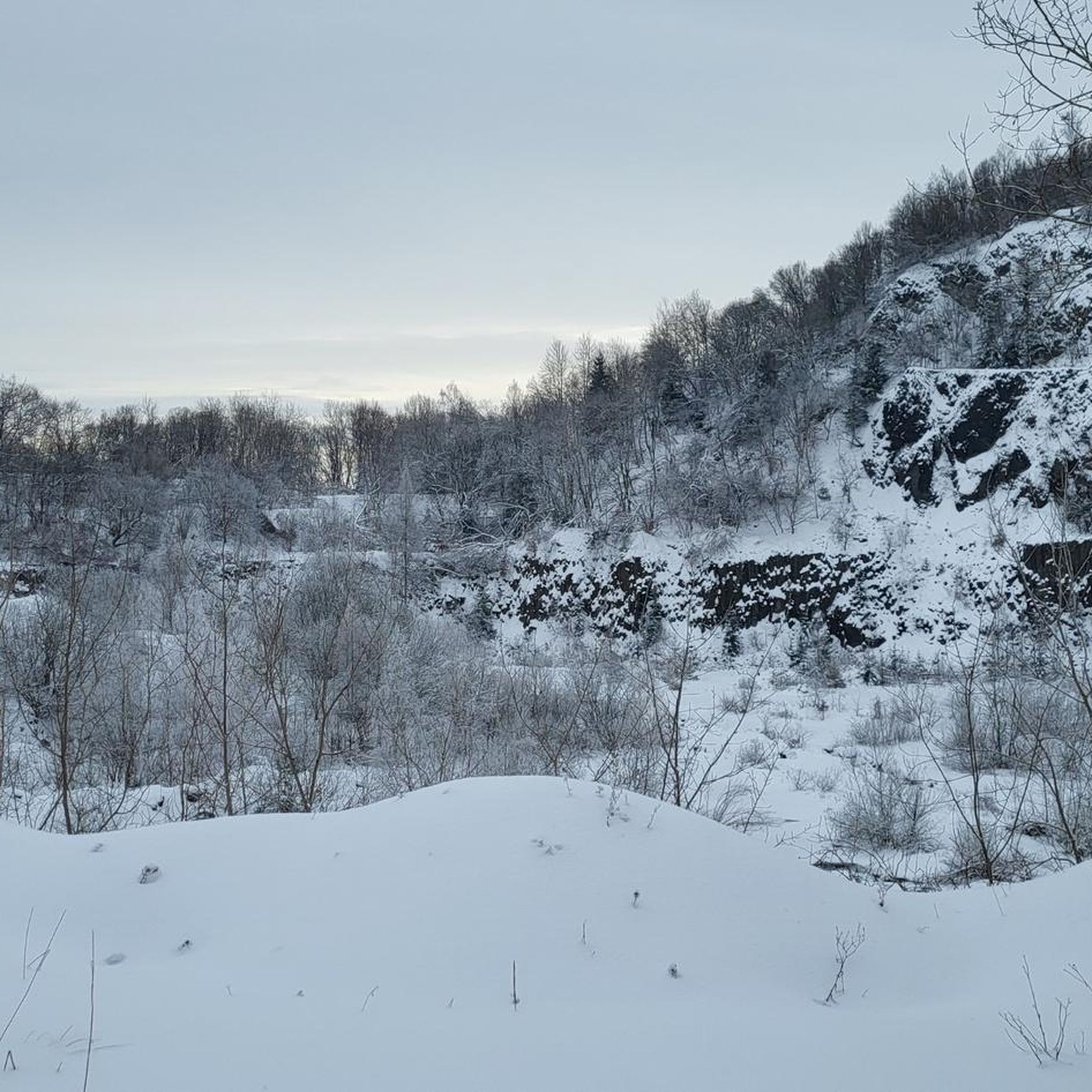
Mountain Hikes around Nassenfels
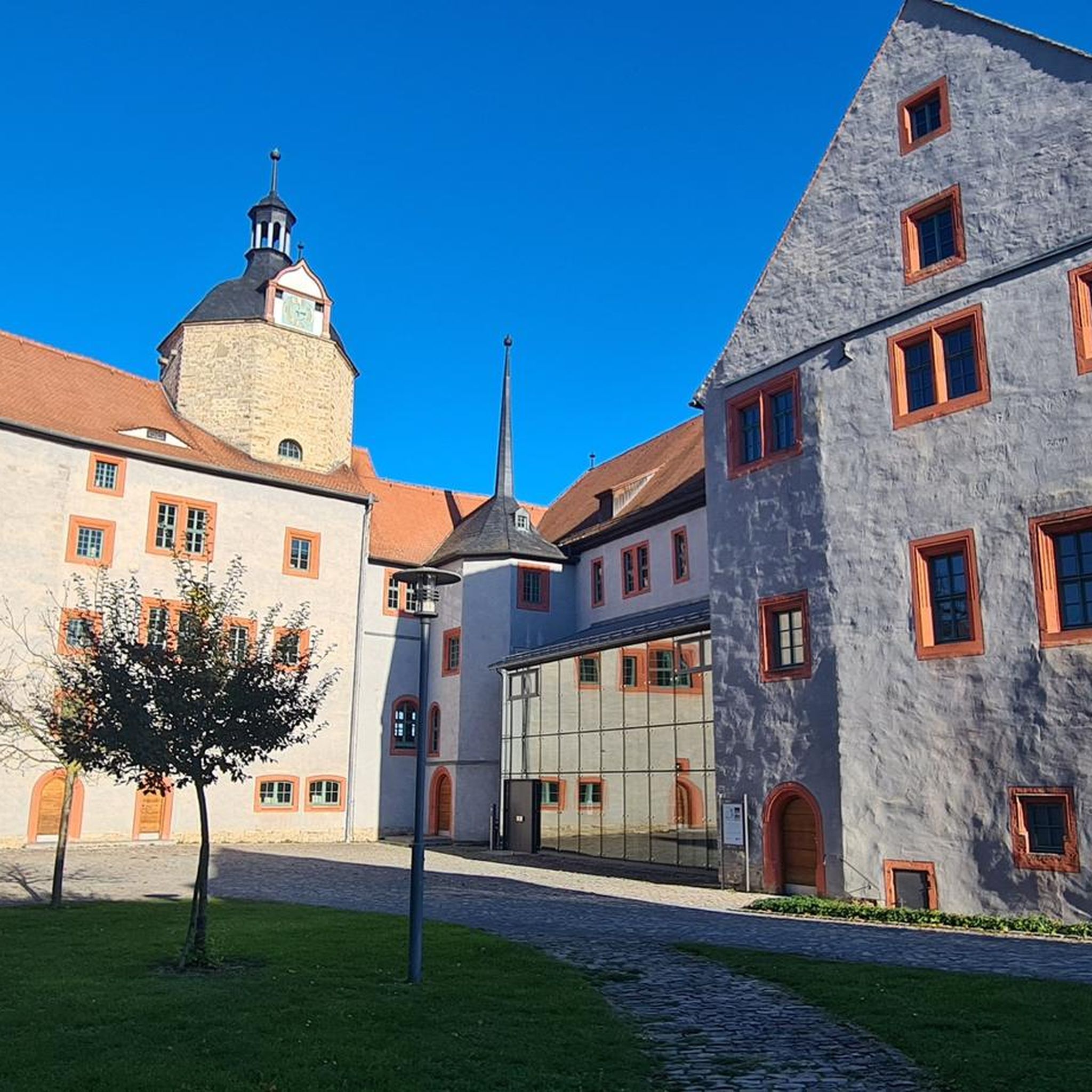
Mountain Hikes around Altmannstein
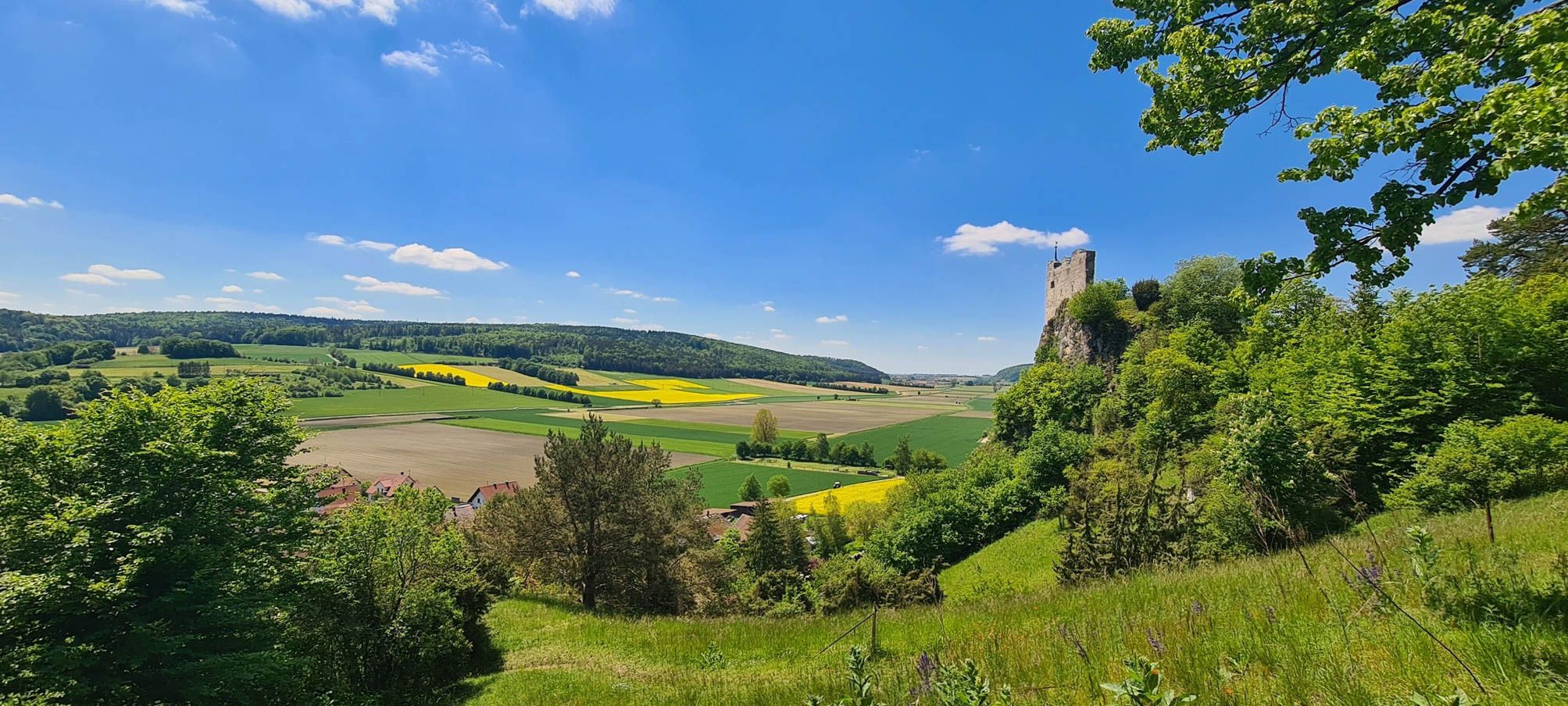
Urdonautalsteig – Hiking through past times
Other adventures in Landkreis Eichstätt


Tips from the Community

Nice path, but by no means as demanding and scrambly as variously announced.
0
1

You have a view of the Wellheim dry valley all the way to the castle ruins
0
0
Challenging path with magnificent views into the valley
0
0
Beautiful sculpture carved from a tree trunk
0
0
Beautiful, flat forest path, which leads you back to the parking lot after walking the Jägersteig.
0
0
In several places, there are very beautiful views of the Wellheimer Trockental.
0
0
Wonderful path, which however requires a certain degree of sure-footedness, a head for heights and, above all, good footwear.
0
0
Very nice trail guidance. However, you should be sure-footed and pay attention that the ground / stones are slippery in wet / damp weather.
0
0
Frequently Asked Questions
How many mountaineering routes are available in Landkreis Eichstätt?
There are over a dozen mountaineering routes in Landkreis Eichstätt, primarily within the Altmühltal Nature Park. These routes cater to various skill levels, with 3 moderate and 9 difficult options.
Are there any family-friendly mountaineering routes in Landkreis Eichstätt?
While many routes in Landkreis Eichstätt are rated as difficult due to the challenging Jura limestone cliffs, some moderate options might be suitable for families with older children or those accustomed to more strenuous hikes. For example, the East ascent to Michelsberg – Kipfenberg Castle loop from Landkreis Eichstätt is a moderate route that offers historical sights.
What kind of geological features can I expect to see on these routes?
Landkreis Eichstätt is renowned for its unique geology, primarily the southern Frankish Alb. You'll encounter impressive Jura limestone cliffs, dolomite walls, and 'Schwammrasenbänke' (sponge reef banks). Many routes, like the Dohlenfelsen – Rock Window loop from Wellheim, showcase these distinctive rock formations and offer insights into the region's geological past.
Are there any circular mountaineering routes in the area?
Yes, many of the mountaineering routes in Landkreis Eichstätt are designed as circular loops, allowing you to start and end at the same point. Examples include the View from Dohlenfelsen – Dohlenfelsen loop from Konstein and the Groppenhofer Pond loop from Ried.
What do other mountaineers enjoy most about the routes in Landkreis Eichstätt?
The routes in Landkreis Eichstätt are highly rated by the komoot community, with an average score of 4.1 stars from over 70 reviews. Mountaineers often praise the distinctive rock formations, the scenic views of the Altmühl Valley, and the challenging yet rewarding terrain offered by the Jura limestone cliffs.
What are some notable landmarks or viewpoints along the mountaineering trails?
The region offers several interesting landmarks and scenic viewpoints. You might encounter historical sites like Kipfenberg Castle or natural monuments such as the Burgsteinfelsen near Dollnstein. Many routes also lead to stunning vistas, like the Löwenkopf Viewpoint, offering panoramic views of the Altmühl Valley.
Are there any easier mountaineering routes for beginners?
While most routes are rated difficult, there are a few moderate options that might be more suitable for beginners looking for a challenge, such as the Roman bridge Kinding – Rock Arch Unteremmendorf loop from Kinding. These routes still require a good level of fitness and appropriate gear due to the rocky terrain.
What is the best time of year for mountaineering in Landkreis Eichstätt?
The Altmühltal Nature Park is beautiful year-round, but spring and autumn generally offer the most pleasant conditions for mountaineering, with milder temperatures and vibrant scenery. Summer can be warm, while winter might present icy conditions on the rocky trails, requiring extra caution and appropriate equipment.
Are there options for longer, more challenging mountaineering tours?
Yes, for those seeking a more extensive challenge, routes like the Burgstein Chapel – Rock Window loop from Wellheim offer a longer distance and significant elevation gain, providing a full day's adventure through the region's rugged landscape.
Can I find places to eat or stay near the mountaineering trails?
Landkreis Eichstätt, particularly within the Altmühltal Nature Park, has various towns and villages like Eichstätt and Beilngries. These areas offer amenities such as cafes, pubs, and accommodation options. It's advisable to check specific locations along your chosen route for nearby facilities.
Are dogs allowed on the mountaineering routes in Landkreis Eichstätt?
Generally, dogs are welcome on hiking trails in the Altmühltal Nature Park, but it's always recommended to keep them on a leash, especially in nature protection areas or near wildlife. Given the rocky and sometimes challenging terrain, ensure your dog is fit for the chosen route and that you carry enough water for both of you.
How long do the mountaineering routes typically take to complete?
The duration of routes varies significantly based on their length and difficulty. Shorter, difficult routes like the Dohlenfelsen – View from Dohlenfelsen loop from Wellheim might take around an hour, while longer, more challenging tours such as the Burgstein Chapel – Rock Window loop from Wellheim can take over 5 hours.
Most popular routes in Landkreis Eichstätt
Most popular attractions in Landkreis Eichstätt

Get inspired with the komoot mobile app


Didn’t find what you were looking for?
Check out more Mountain Hikes & Routes throughout Landkreis Eichstätt below and find the perfect route in your destination.
Explore more
Browse the best Mountain Hikes & Routes in other regions.
