The best mountain hikes around Neuburg an der Donau
4.2
(88)
360
hikers
9
hikes
Mountaineering routes near Neuburg an der Donau traverse a varied landscape shaped by the Danube River and its floodplains, alongside the Franconian Jura low mountain range to the north. The region is characterized by limestone cliffs and rock formations, notably the Burgsteinfelsen within the nearby Altmühltal Nature Park. This geological diversity provides a range of challenging ascents and scenic paths for mountaineers.
Best mountaineering routes around Neuburg an der Donau
- The most popular mountaineering route is Dohlenfelsen – Rock Window…
Last updated: October 22, 2026
4.4
(34)
126
hikers
6.89km
02:20
170m
170m
Hard mountaineering route. Good fitness required. Sure-footedness, sturdy shoes and alpine experience required.
5.0
(2)
13
hikers
6.71km
02:08
90m
100m
Hard mountaineering route. Good fitness required. Sure-footedness, sturdy shoes and alpine experience required.

3.0
(2)
10
hikers
2.17km
00:49
80m
80m
Hard mountaineering route. Great for any fitness level. Sure-footedness, sturdy shoes and alpine experience required.
2
hikers
19.8km
05:50
470m
470m
Hard mountaineering route. Very good fitness required. Sure-footedness, sturdy shoes and alpine experience required.
3.0
(1)
2
hikers
3.04km
00:57
60m
60m
Hard mountaineering route. Great for any fitness level. Sure-footedness, sturdy shoes and alpine experience required.
Get access to more routes and recommendations from other explorers.
Already have an account?
Our route recommendations are based on thousands of hikes, rides, and runs completed by other people on komoot.
Start today with a free account
Your next adventure awaits.
Popular around Neuburg a.d. Donau
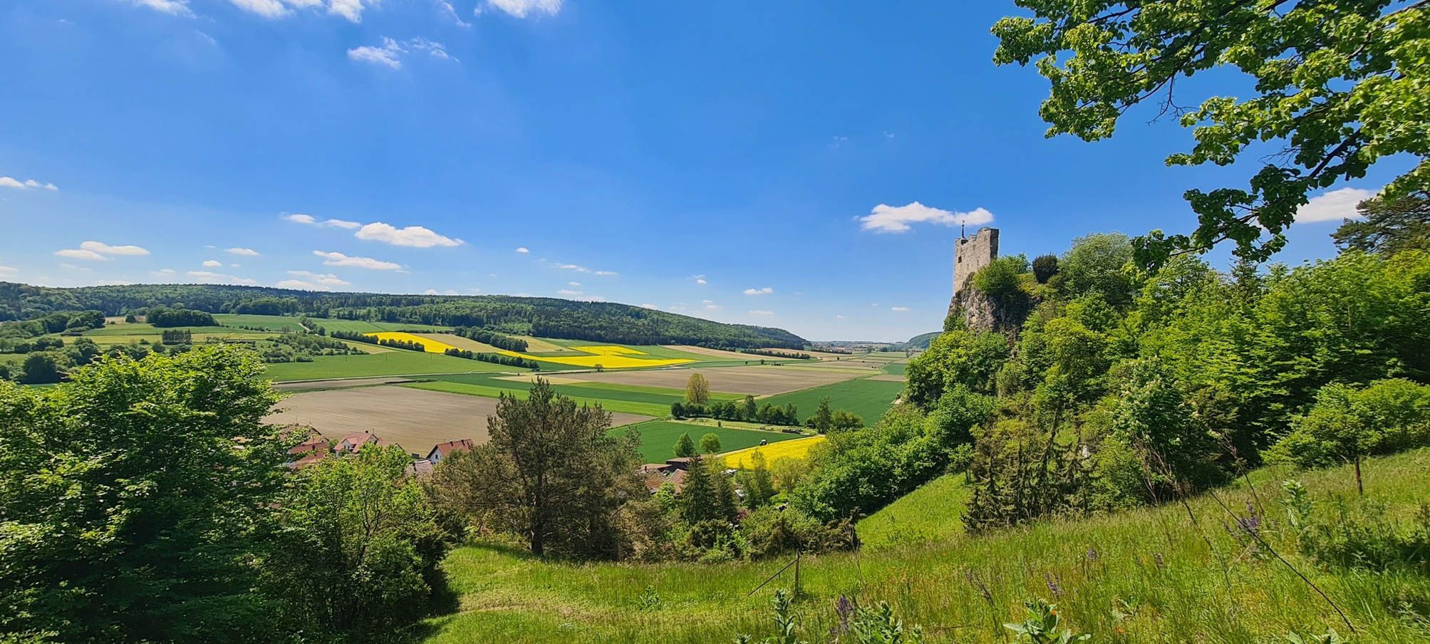
Urdonautalsteig – Hiking through past times
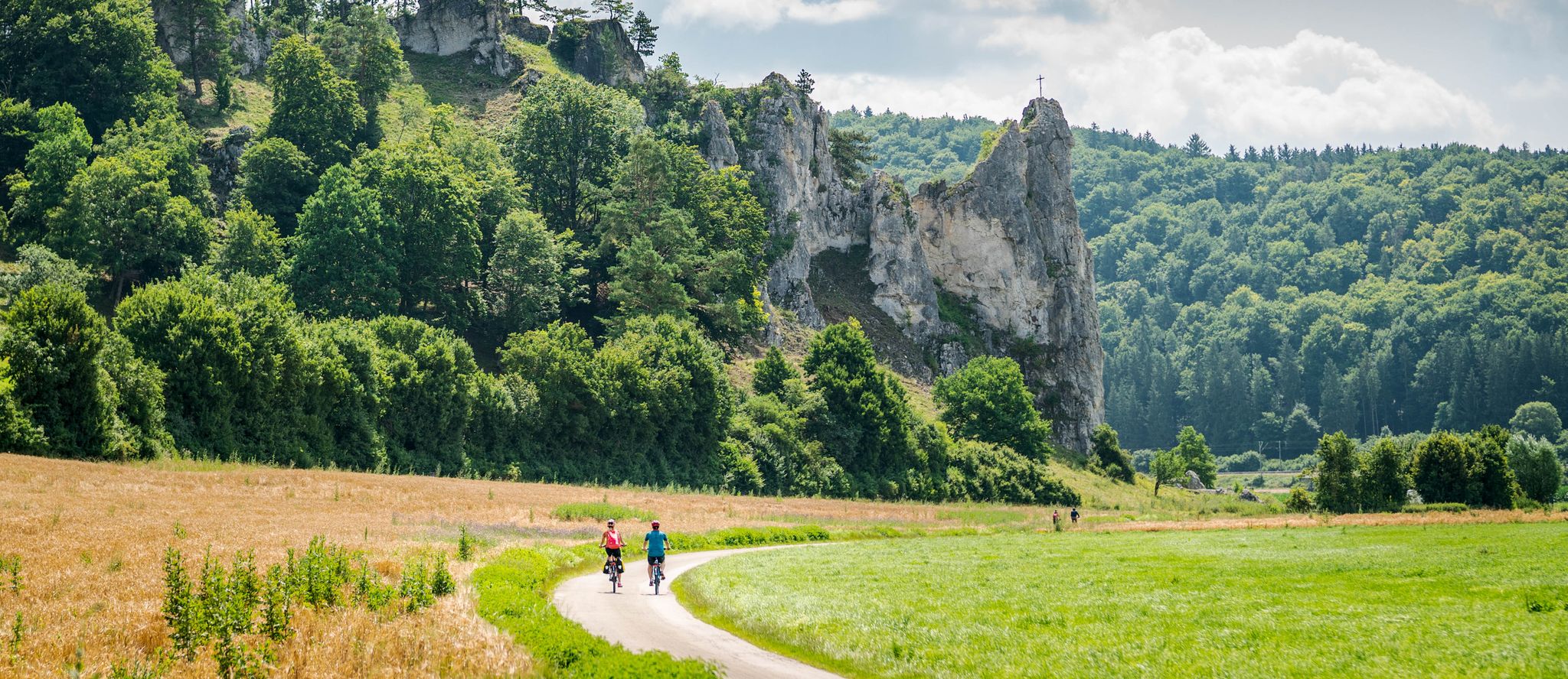
Pure variety – cycle Tours in the Altmühltal Nature Park
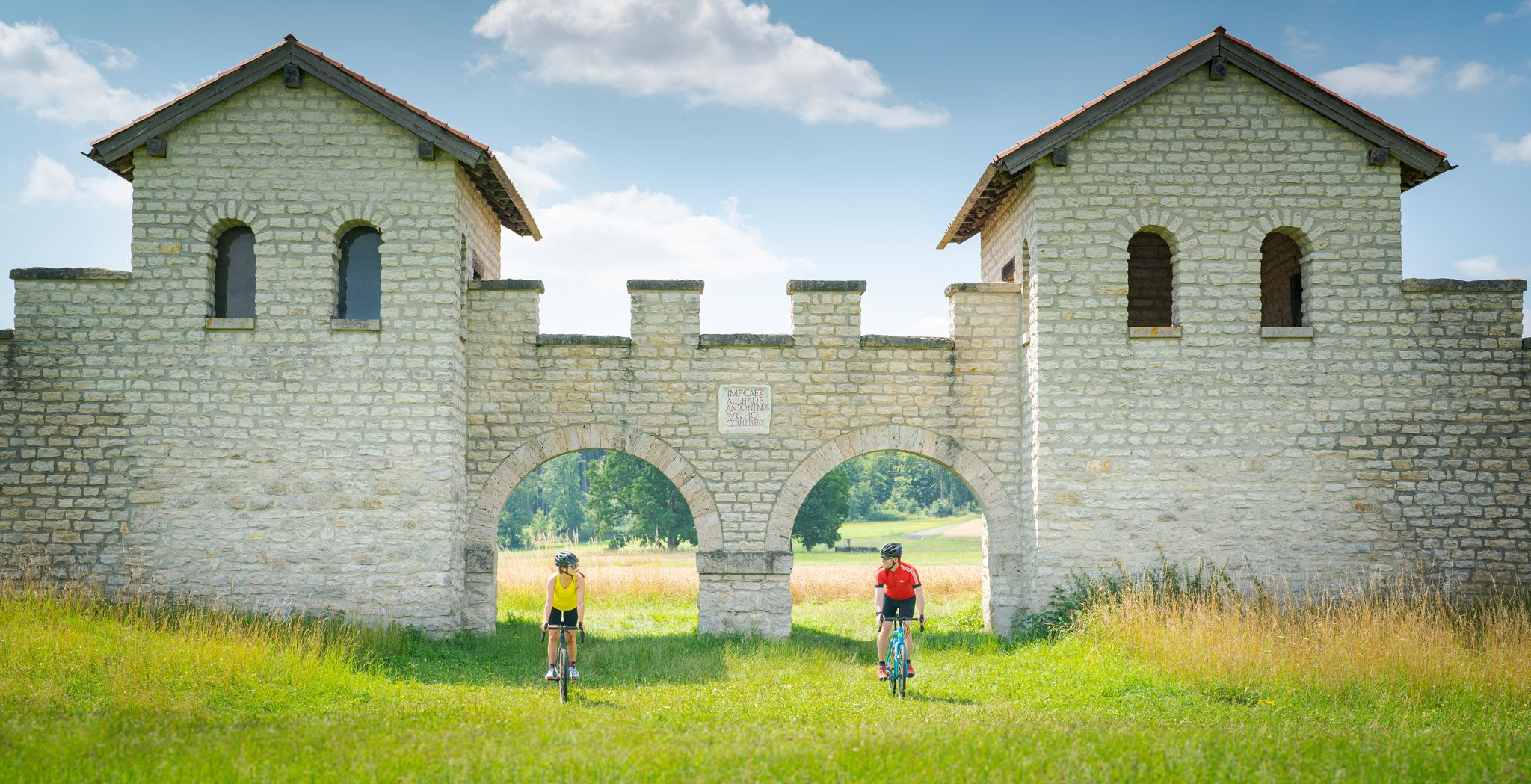
River valleys to plateaus – gravel cycling in Altmühltal Nature Park
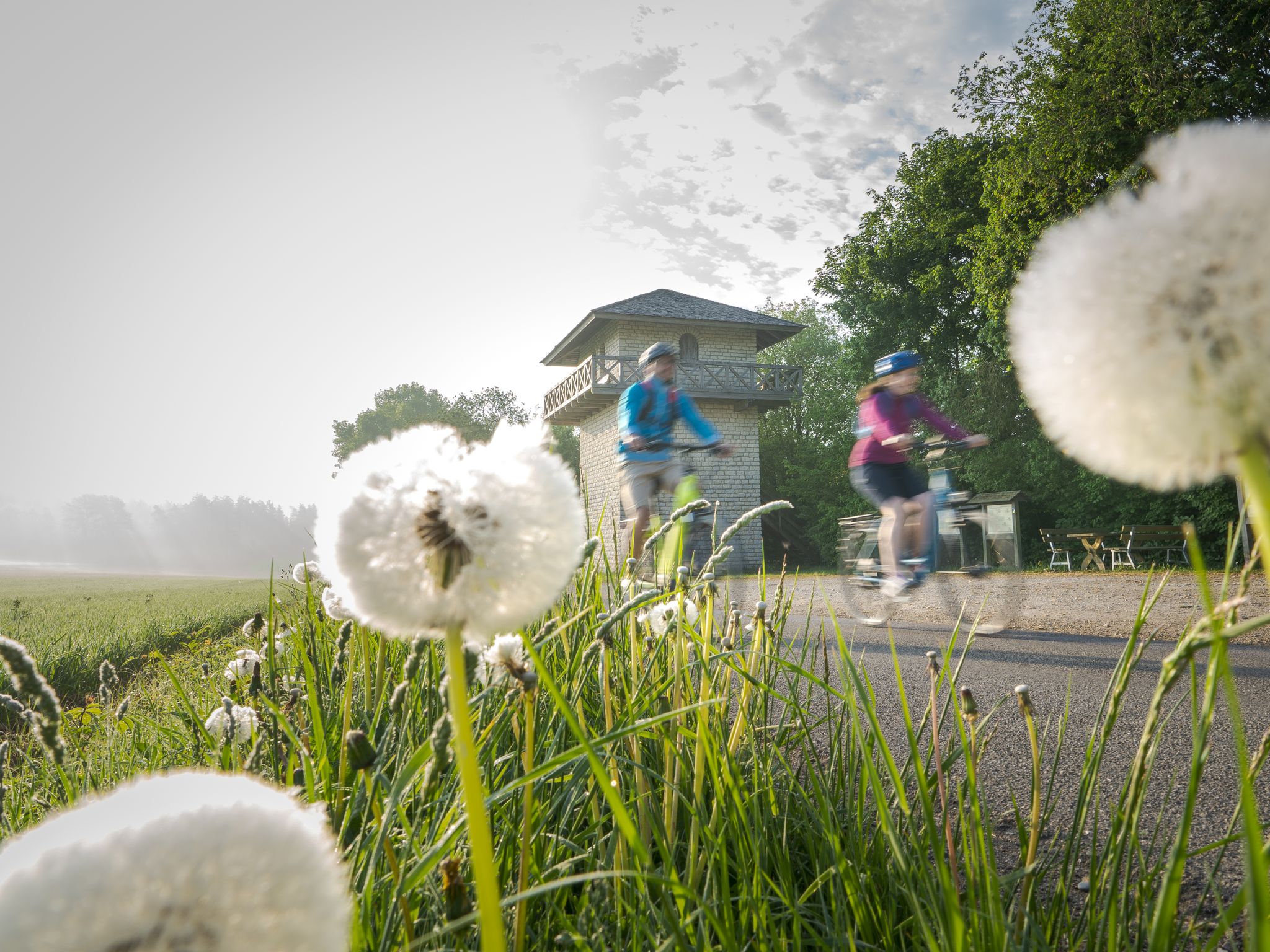
Culinary, Romans and Castles - Bike Tours in the Altmühltal Nature Park
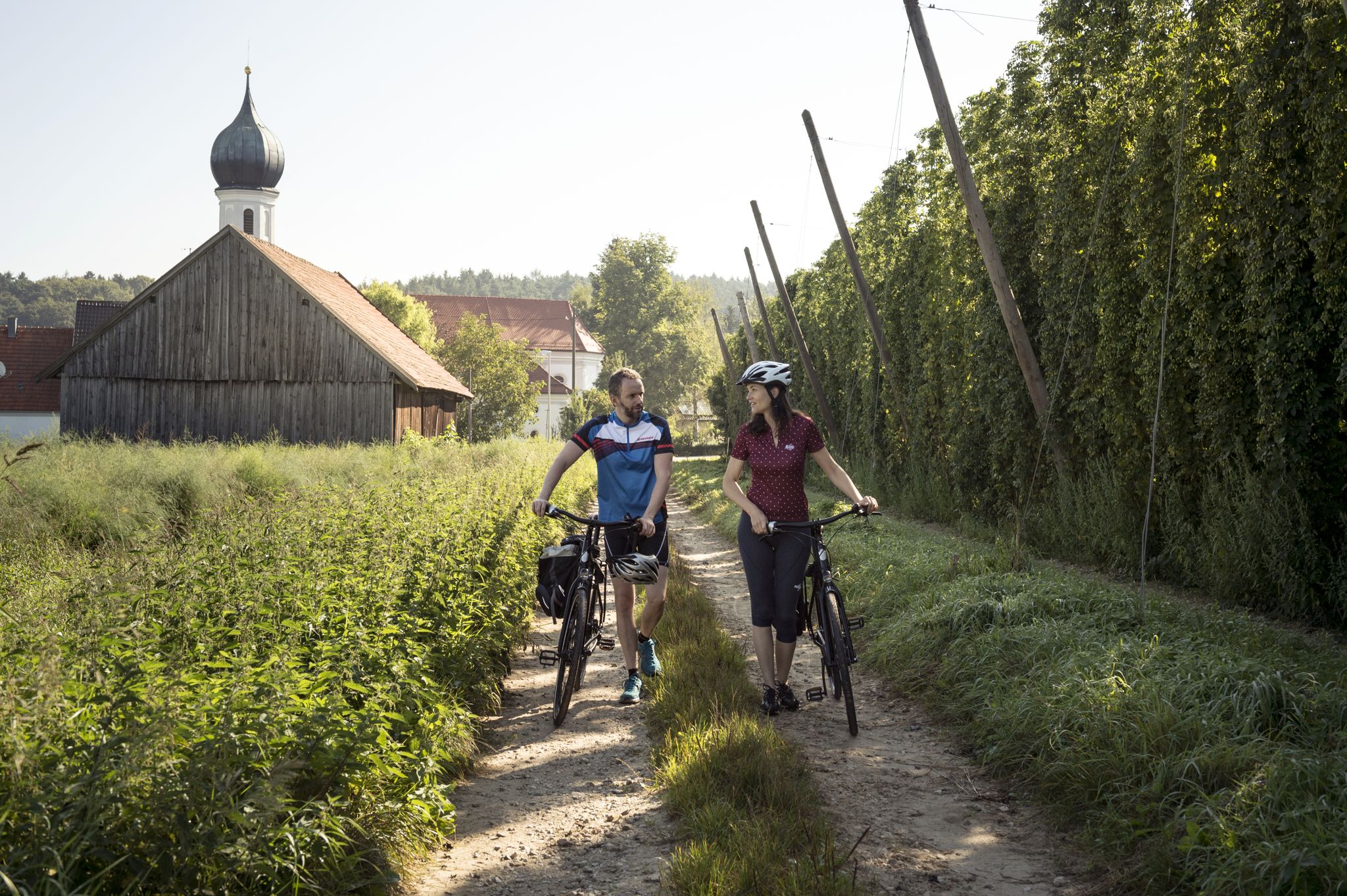
Hops, beer gardens & breweries – Cycling the Hop Loop in Upper Bavaria
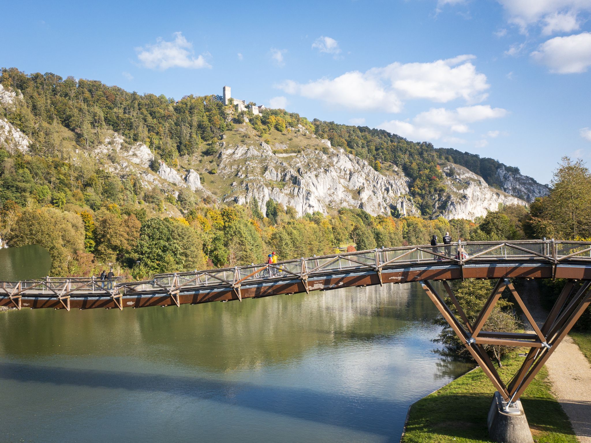
Fossilien, Burgen & Auen – Radrundtouren im Naturpark Altmühltal
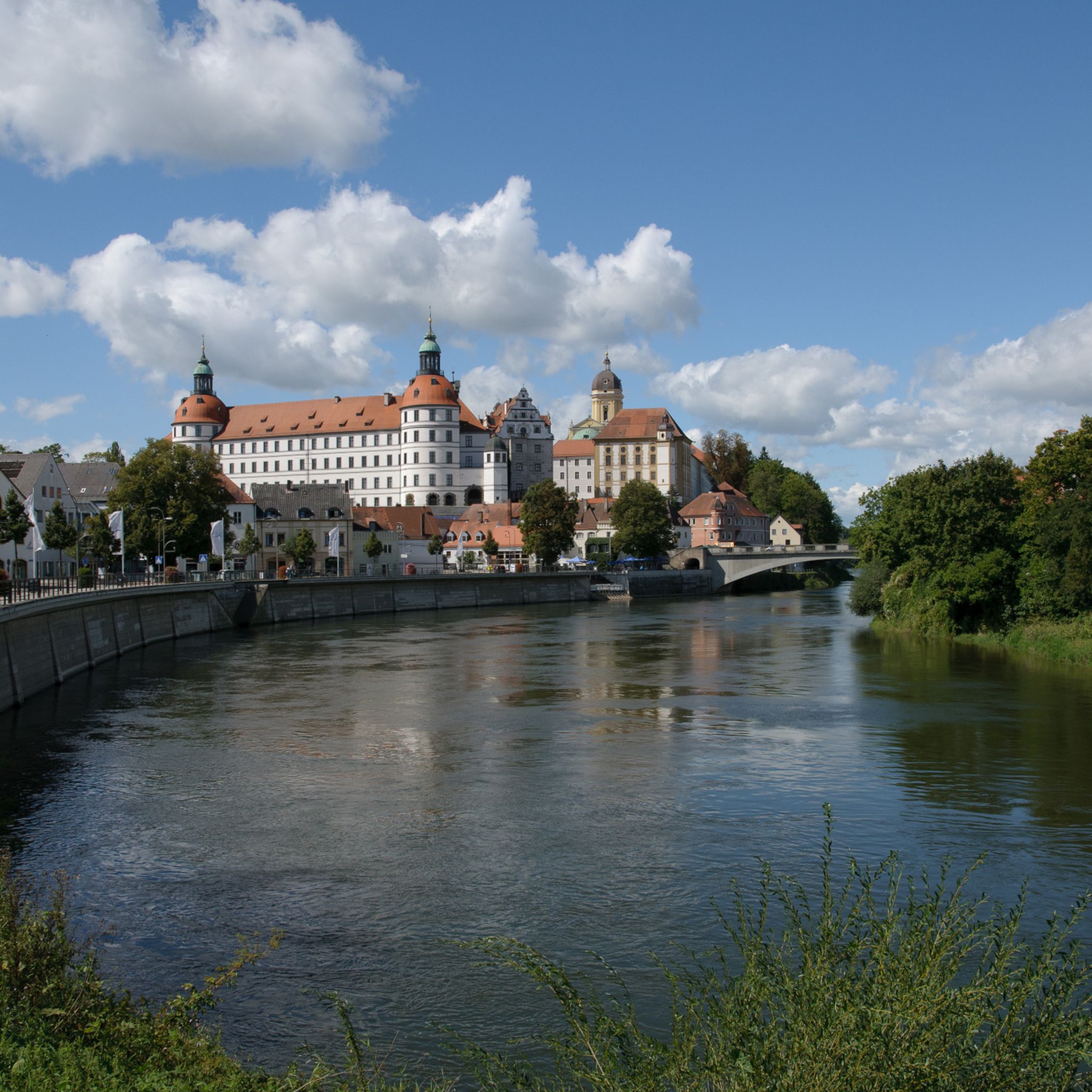
Cycling around Neuburg an der Donau
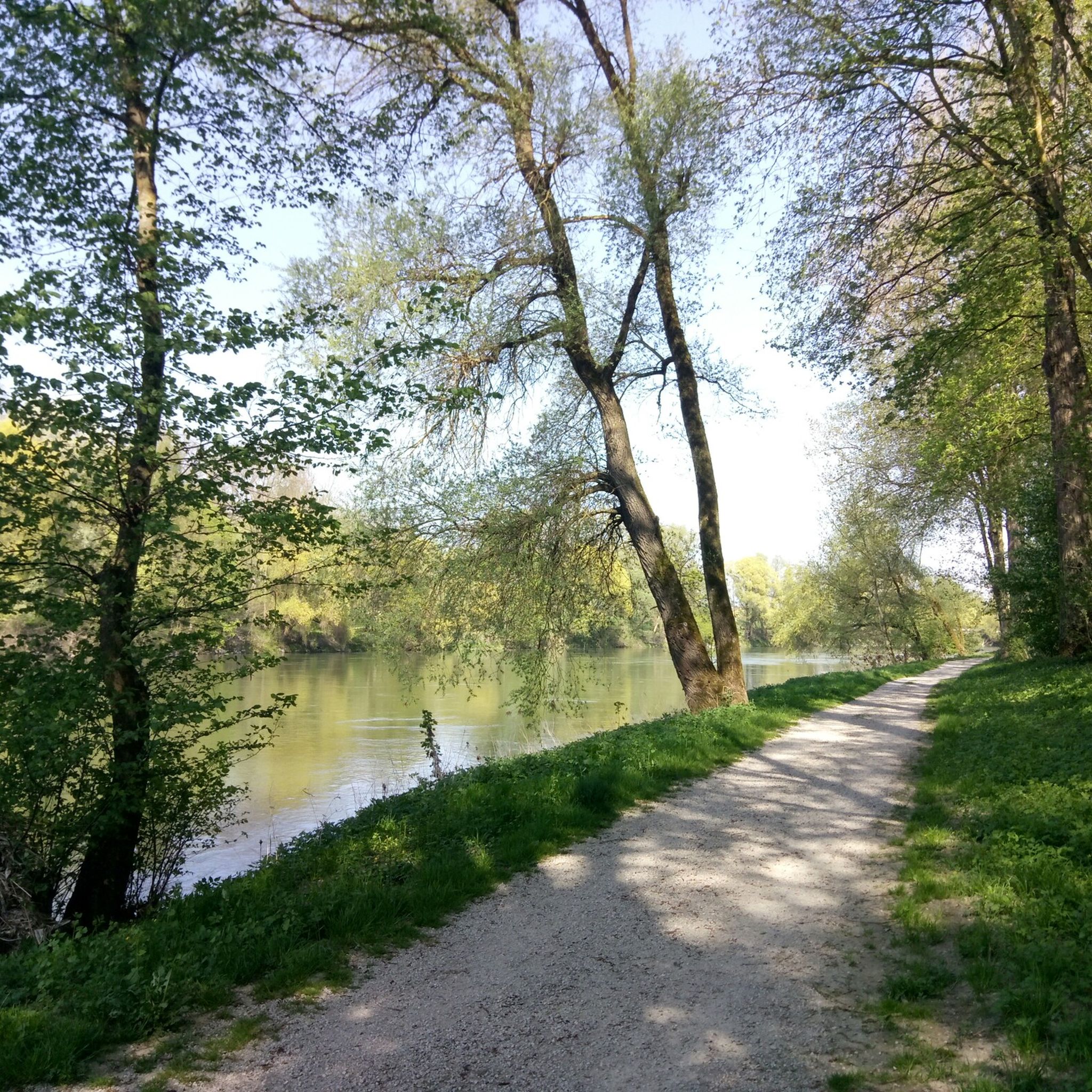
Hiking around Neuburg an der Donau
Road Cycling Routes around Neuburg an der Donau
Running Trails around Neuburg an der Donau
Other adventures around Neuburg an der Donau


Tips from the Community

You have a view of the Wellheim dry valley all the way to the castle ruins
0
0
From here you can enjoy a very beautiful view of Dollnstein and the Altmühltal. In addition, a small path leads forward almost to the summit cross of the rock.
0
0
Beautifully located chapel with a view of Dollnstein and the possibility to walk right up to the Burgsteinfelsen.
0
0
Beautiful view of Dollnstein with its medieval town center.
0
0
The Altmühl is almost constantly visible from the path.
1
0
Challenging path with magnificent views into the valley
0
0
Beautiful sculpture carved from a tree trunk
0
0
Beautiful, flat forest path, which leads you back to the parking lot after walking the Jägersteig.
0
0
Frequently Asked Questions
What kind of terrain can I expect on mountaineering routes around Neuburg an der Donau?
Mountaineering routes in this region traverse a diverse landscape, characterized by the Danube River and its floodplains, as well as the Franconian Jura low mountain range to the north. You'll encounter limestone cliffs and distinctive rock formations, particularly within the nearby Altmühltal Nature Park, offering challenging ascents and scenic paths.
How many mountaineering routes are available in Neuburg an der Donau?
There are 10 mountaineering routes available around Neuburg an der Donau. The komoot community has explored these routes over 300 times, indicating their popularity.
Are there any easy mountaineering routes for beginners?
While most routes are classified as difficult, there is one easy mountaineering route available. The region is generally known for its more challenging ascents, making it ideal for those seeking a demanding experience.
What are some notable natural features or landmarks to see along the mountaineering routes?
The region is rich in natural landmarks. You can explore the impressive Burgsteinfelsen near Dollnstein, a significant rock formation within the Altmühl Valley. Other notable features include the Konstein Climbing Crag, the Maderfelsen Rock Formations, and the prominent Dohlenfelsen.
Are there any circular mountaineering routes in the area?
Yes, many routes are designed as loops. For example, you could try the difficult Dohlenfelsen – Rock Window loop from Wellheim, which covers 6.9 km, or the Groppenhofer Pond loop from Ried, a 6.7 km difficult route.
What do other mountaineers think about the routes in Neuburg an der Donau?
The mountaineering routes around Neuburg an der Donau are highly regarded by the komoot community, holding an average rating of 4.4 out of 5 stars from over 70 reviews. Users often praise the challenging ascents and the scenic beauty of the rock formations.
Are there any huts or shelters along the mountaineering trails?
Yes, there are several huts and shelters available. You might find the Naturfreundehaus Konstein, the Aicha Climbing Hut, or a Wooden Cabin in Naturpark Altmühltal useful for breaks or overnight stays.
What is a good challenging route for experienced mountaineers?
Experienced mountaineers looking for a challenge might enjoy the difficult View from Dohlenfelsen – Dohlenfelsen loop from Konstein. This 6.9 km path offers expansive views from the Dohlenfelsen rock formation and is a favorite among local mountaineers.
Are there any shorter, yet still challenging, mountaineering options?
For a shorter but still difficult option, consider the Dohlenfelsen – View from Dohlenfelsen loop from Konstein. This route is 5.0 km long and typically takes about 1 hour 42 minutes to complete, leading through rugged terrain around the Dohlenfelsen.
What makes the Altmühltal Nature Park significant for mountaineering in this area?
The Altmühltal Nature Park, easily accessible from Neuburg, is a key feature for mountaineering due to its renowned rock formations and varied terrain. It's home to sites like the Burgsteinfelsen, which is considered a 'paradise for climbers' and one of Bavaria's most beautiful geotopes, offering diverse climbing and hiking opportunities.
Can I find any very short mountaineering routes for a quick but intense experience?
Yes, if you're looking for a quick but intense experience, the difficult Dohlenfelsen – View from Dohlenfelsen loop from Wellheim is a good choice. It's only 2.3 km long and can be completed in under an hour, offering a concentrated challenge.
Most popular routes around Neuburg an der Donau
Most popular attractions around Neuburg an der Donau

Get inspired with the komoot mobile app


Explore more
Browse the best Mountain Hikes & Routes in other regions.
