The best walks and hikes around Poobles
4.3
(16)
338
hikers
15
hikes
Hiking around Poobles offers access to a collection of trails primarily located near the towns of Lurgan and Moira. While "Poobles" itself is not a widely recognized geographical region, the area features gentle landscapes suitable for walking. The routes often incorporate local parks and waterside paths, providing accessible outdoor experiences. These trails are generally characterized by low elevation changes and well-maintained surfaces.
Best hiking trails around Poobles
- The most popular hiking route is Broad Water Cycle Path – Broad Water…
Last updated: June 27, 2026
73
hikers
5.36km
01:22
20m
20m
Easy hike. Great for any fitness level. Easily-accessible paths. Suitable for all skill levels.
52
hikers
4.73km
01:13
20m
20m
Easy hike. Great for any fitness level. Easily-accessible paths. Suitable for all skill levels.

Sign up for free
5.0
(4)
18
hikers
Moderate hike. Good fitness required. Easily-accessible paths. Suitable for all skill levels.
5.0
(1)
15
hikers
5.15km
01:18
10m
10m
Easy hike. Great for any fitness level. Easily-accessible paths. Suitable for all skill levels.
13
hikers
3.25km
00:50
10m
10m
Easy hike. Great for any fitness level. Easily-accessible paths. Suitable for all skill levels.
Get access to more routes and recommendations from other explorers.
Sign up for free
Already have an account?
Our route recommendations are based on thousands of hikes, rides, and runs completed by other people on komoot.
Start today with a free account
Your next adventure awaits.
Login or Signup



Tips from the Community

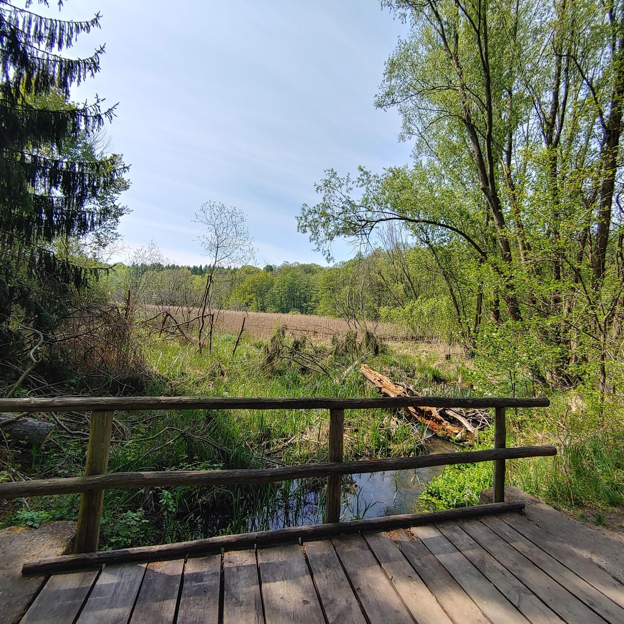
This meandering bicycle path glides on through from the station, you get a chance to catch a moment, get into your rhythm by the waters edge.
1
0

A pretty lake with a lovely path for cycling / walking around. The lake is also popular with anglers.
1
0
Frequently Asked Questions
How many hiking trails are available around Poobles?
There are over 15 hiking routes available around Poobles, offering a variety of options for different preferences and abilities.
What kind of terrain can I expect on hikes in Poobles?
The hiking trails in Poobles are characterized by gentle landscapes, primarily featuring parkland paths, waterside trails, and urban green spaces. You can expect low elevation changes and generally well-maintained surfaces, making them suitable for relaxed walks.
Are there family-friendly hiking options in Poobles?
Yes, Poobles is an excellent area for family-friendly hikes. The majority of routes, 13 out of 15, are rated as easy. An example is the Pavilion in the Park loop from Lurgan, which is an easy 3.3-mile (5.4 km) path winding through parkland.
Can I bring my dog on the trails in Poobles?
While specific dog policies can vary by individual park or path, the general nature of the trails around Poobles – featuring parkland and waterside paths – often makes them suitable for well-behaved dogs on a leash. It's always a good idea to check local signage for any restrictions.
Are there any circular walks in Poobles?
Yes, many of the routes in Poobles are circular, allowing you to start and end at the same point. For instance, the Pavilion in the Park – Lurgan Park Lake loop from Lurgan is a pleasant circular route.
What are some interesting places to see near the hiking trails?
Near the hiking trails in Poobles, you can explore several interesting points. Highlights include Lurgan Park Lake, which is often incorporated into walks, and the Broad Water Cycle Path. For a broader experience, consider visiting Craigavon Lakes or the Lough Neagh Discovery Centre.
What is the best time of year to go hiking in Poobles?
Given the gentle nature of the trails and low elevation changes, hiking in Poobles is enjoyable throughout much of the year. Spring and autumn offer pleasant temperatures and scenic views, while summer is ideal for longer days. Even in winter, many well-maintained paths remain accessible.
What do other hikers say about the trails in Poobles?
The trails in Poobles are highly rated by the komoot community, with an average score of 4.3 stars from over 15 reviews. Hikers often praise the accessibility, well-maintained paths, and the pleasant parkland and waterside scenery that define the area.
Are there any challenging hikes in Poobles?
The hiking routes in Poobles are generally easy to moderate, with no routes classified as difficult. The most challenging you'll find is a moderate route like the Broad Water Cycle Path – Broad Water Riverside Path loop from Moira, which is 6.3 miles (10.1 km) long but still features minimal elevation gain.
Is public transport available to access hiking trails in Poobles?
The towns of Lurgan and Moira, near where many of the trails are located, typically have public transport links. It's advisable to check local bus or train schedules for specific routes and stops that align with your chosen trailhead.
Where can I find parking for the hiking trails?
Many of the parkland and waterside trails around Poobles, especially those near towns like Lurgan and Moira, often have designated parking areas. For specific routes, checking the komoot tour details for the trailhead usually provides information on nearby parking facilities.
Are there any facilities like cafes or pubs near the hiking routes?
As the trails are often located near the towns of Lurgan and Moira, you will likely find cafes, pubs, and other amenities within a short distance of many trailheads, perfect for a refreshment before or after your hike.
Are the trails in Poobles generally accessible for wheelchairs or strollers?
Given that many trails feature well-maintained surfaces, low elevation changes, and are located in parklands or along waterside paths, a good number of them should be suitable for wheelchairs or strollers. However, it's always best to check the specific trail conditions and descriptions on komoot for detailed accessibility information.
Most popular routes around Poobles
Most popular attractions around Poobles

Get inspired with the komoot mobile app


Explore more
Browse the best Hikes in other regions.
