The best running trails around Glasdrumman Upper
4.7
(16)
2,501
runners
116
runs
Jogging around Glasdrumman Upper offers a variety of routes through a landscape characterized by undulating forest paths and views of rolling green hills. The region features natural elements such as small streams and rock formations, providing diverse scenery for runners. Many routes offer vistas of the nearby Mourne Mountains, adding to the scenic appeal. This area provides a blend of community trails and more challenging mountain paths.
Best jogging routes around Glasdrumman Upper
- The most popular jogging route is Carrick…
Last updated: October 5, 2026
17
runners
9.71km
01:47
800m
800m
Hard run. Very good fitness required. Mostly paved surfaces. Suitable for all skill levels.
1
runners
4.04km
00:35
180m
0m
Moderate run. Good fitness required. Mostly paved surfaces. Suitable for all skill levels.

4.0
(1)
88
runners
Hard run. Very good fitness required. Mostly paved surfaces. Suitable for all skill levels.
52
runners
Hard run. Very good fitness required. Mostly paved surfaces. Suitable for all skill levels.
15
runners
19.6km
02:12
350m
340m
Hard run. Very good fitness required. Mostly paved surfaces. Suitable for all skill levels.
Get access to more routes and recommendations from other explorers.
Already have an account?
Our route recommendations are based on thousands of hikes, rides, and runs completed by other people on komoot.
Start today with a free account
Your next adventure awaits.
Tips from the Community

Wikipedia (Tollymore Forest Park, 2026-08-14): https://en.m.wikipedia.org/wiki/Tollymore_Forest_Park “... Horn Bridge crosses a small culverted burn (stream) and is crossed by a gravel road. The burn below the bridge is covered with a board walk connected to a path. It was built c.1770 by either the 1st or 2nd Earl. ...”
1
0

Slieve Binnian is absolute magic. Standing as the third-highest peak in Northern Ireland (747 meters), it easily claims the title for the most dramatic silhouette in the Mournes, thanks to the massive, weathered granite towers—called tors—that guard its summit. https://www.expresstollpass.com
0
0

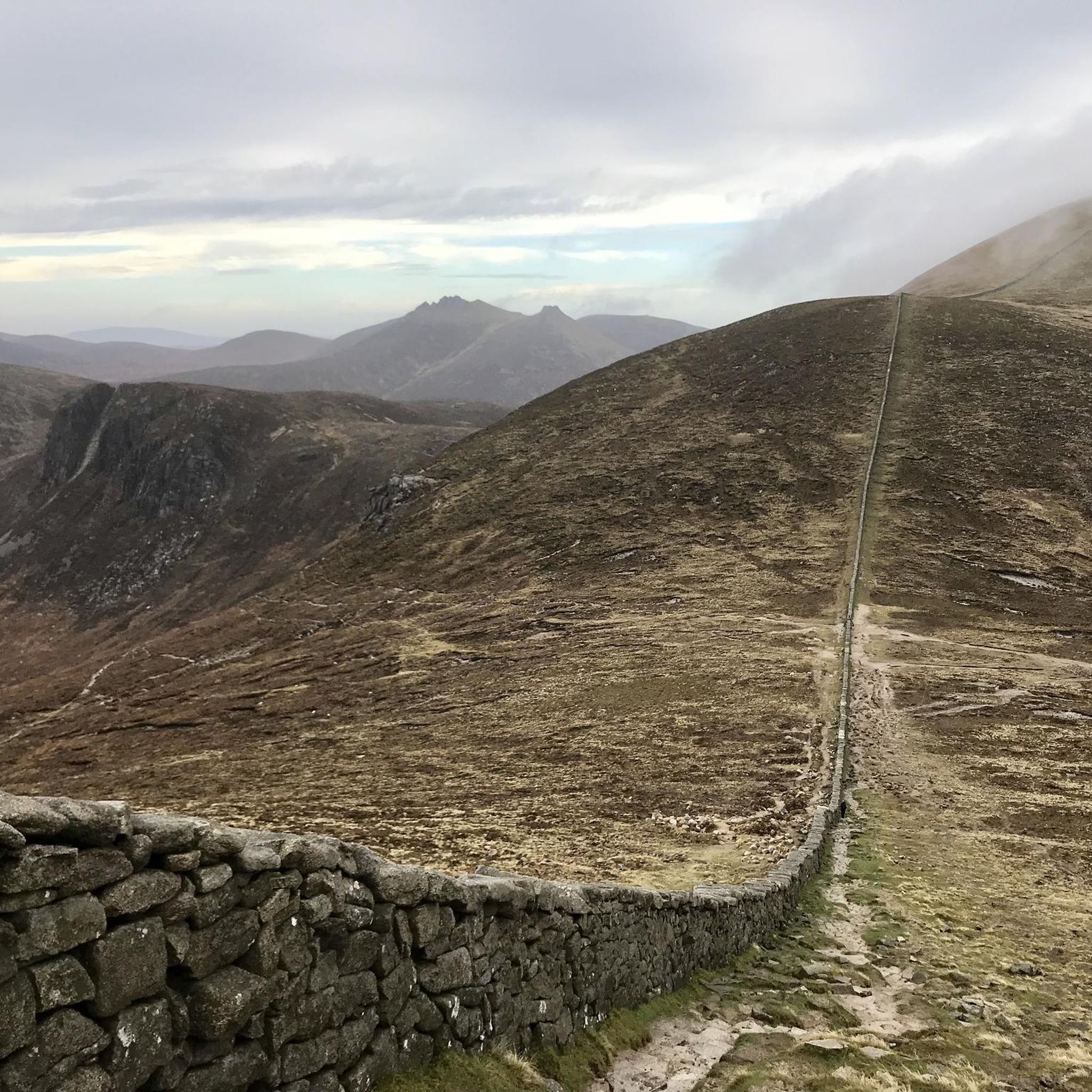
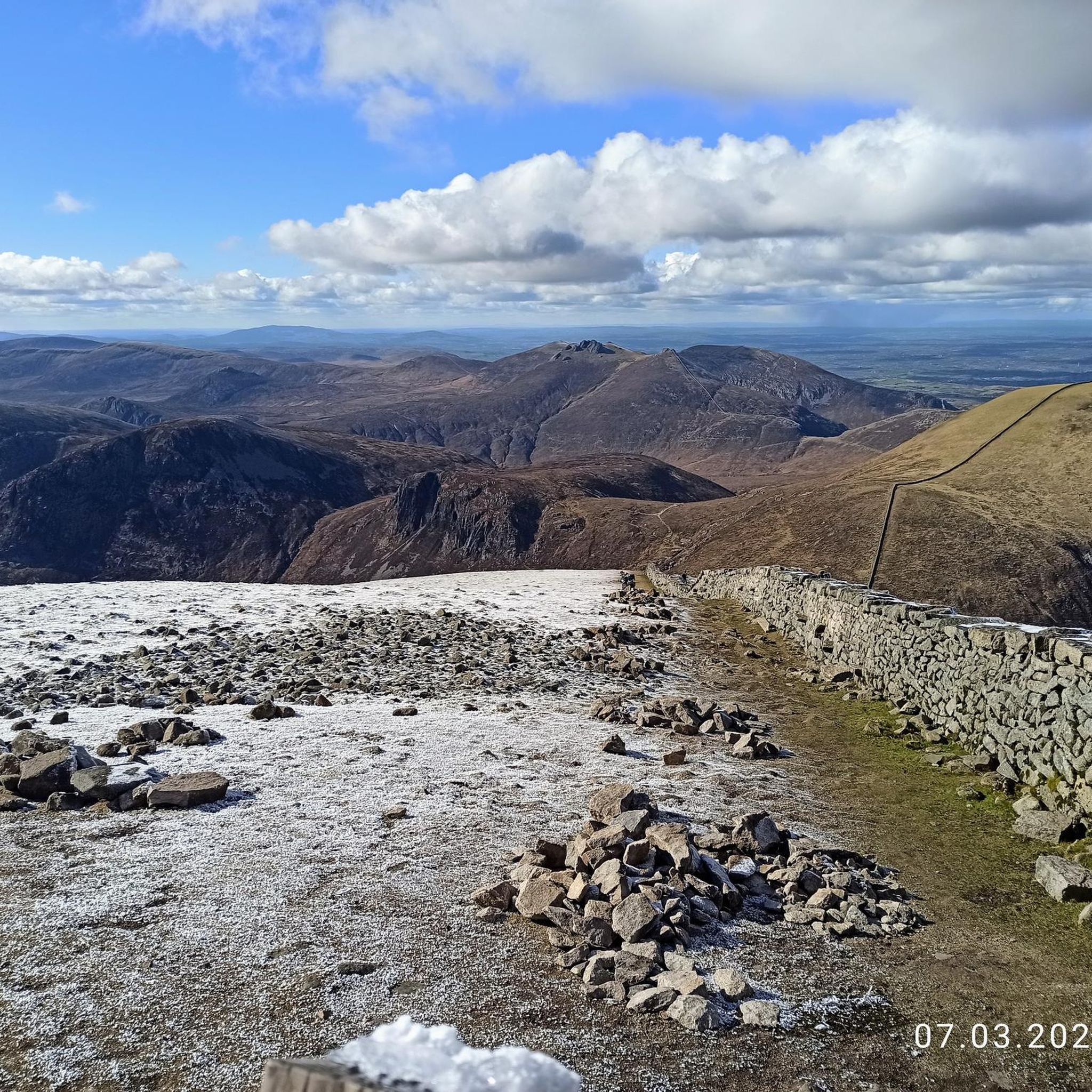
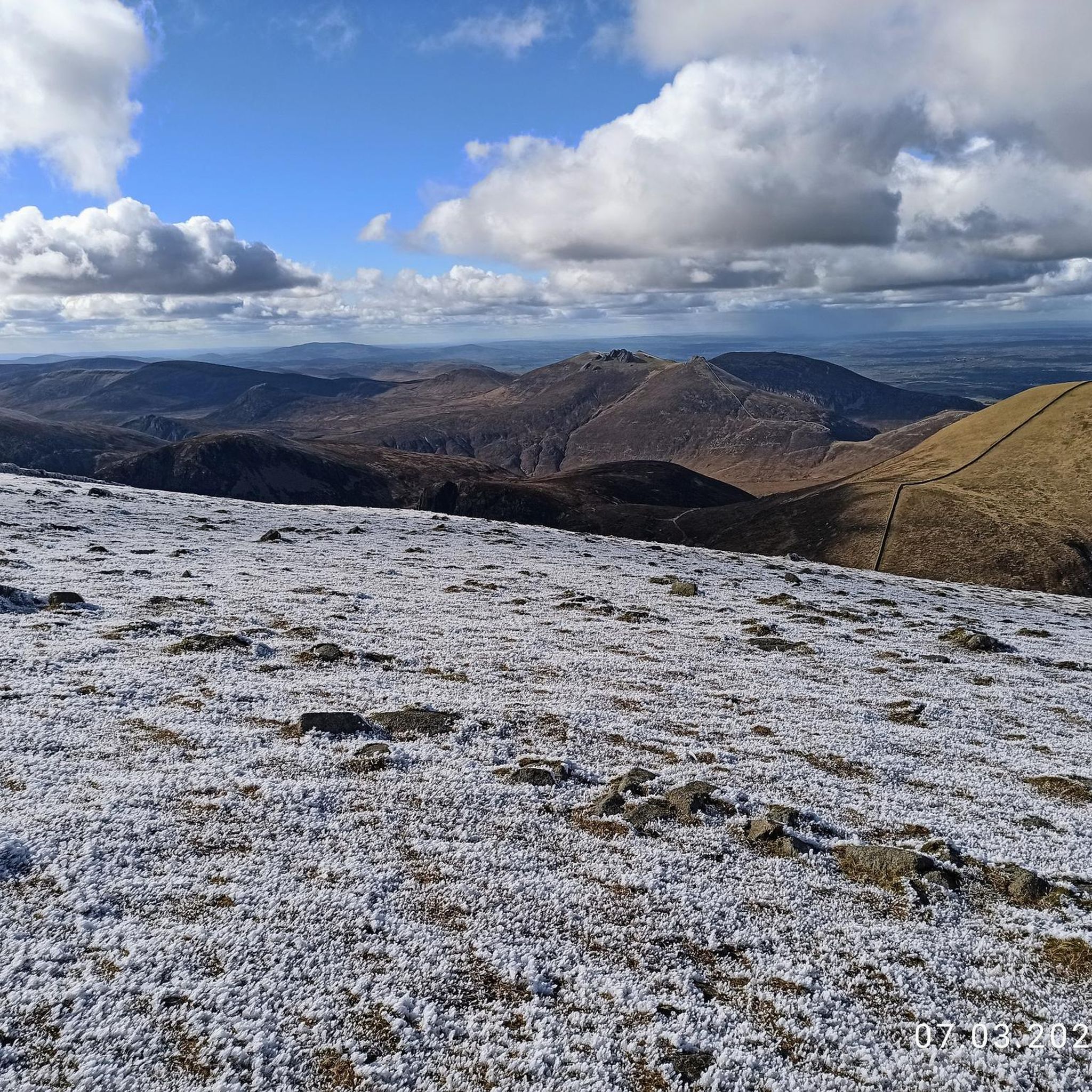
Starting from Carrick Little Car Park, the hiking path to Slieve Binnian offers a rewarding journey through the heart of the Mourne Mountains. This moderate to challenging loop, approximately 11.2 km in length, follows the Mourne Wall, a historic dry-stone structure built in the early 1900s, guiding hikers toward the summit of Slieve Binnian (747 m). The ascent is steady, with a mix of rocky terrain and scenic views. As you approach the summit, the path becomes more rugged, leading to the iconic South and North Tors. From the summit, panoramic vistas unfold, offering breathtaking views of the Silent Valley and the surrounding peaks.
1
0
The Duck Pond feels like a calm secret waiting to be discovered. Recommended by hikers and tucked into a protected area, it’s a gentle spot where water glimmers among reeds and mountains frame the quiet mirror below.
1
0
Silent Valley Reservoir, nestled in the Mourne Mountains, is a peaceful retreat surrounded by sweeping granite peaks and heathered slopes. Built in the early 20th century to supply water to Belfast and much of County Down, the reservoir combines striking engineering with natural beauty. Visitors can stroll along well-kept paths, admire the Victorian-style dam and impressive Mourne Wall, or simply enjoy the quiet atmosphere by the lakeshore.
4
1

The park has no entry fee, you only have to pay 5 £ for parking.
1
0
Easy route no special gear required. Very scenic
0
0
Frequently Asked Questions
How many running routes are available in Glasdrumman Upper?
Glasdrumman Upper offers a wide selection of running routes, with over 130 different options to explore. These range from easy community trails to more challenging mountain paths, catering to various fitness levels.
What kind of terrain can I expect on the running trails in Glasdrumman Upper?
The running trails in Glasdrumman Upper feature a diverse landscape. You'll encounter undulating forest paths, small streams, and areas with protruding rock formations. Many routes also offer picturesque views of rolling green hills and the majestic Mourne Mountains.
Are there any easy running routes suitable for beginners or casual joggers?
Yes, Glasdrumman Upper has several easy running options. The Carrick Little to Blue Lough run — Mourne is a moderate 2.5-mile trail, and the Glassdrummond Wood Trail, mentioned in local research, is described as an 'easy trail easy' suitable for normal clothing and footwear, ideal for casual joggers.
What are some of the longer or more challenging running routes in the area?
For those seeking a greater challenge, routes like the Mourne Wall – View of the Mourne Mountains loop from Moneydorragh More Upper offer a difficult 15.1-mile (24.3 km) experience. Another demanding option is the The Devil's Coach Road – View of the Mourne Mountains loop from Moneydorragh More Upper, which is 9.6 miles (15.4 km) long and also rated as difficult.
Are there any circular running routes in Glasdrumman Upper?
Yes, many of the routes in Glasdrumman Upper are circular, offering convenient start and end points. For example, the View of the Mourne Mountains loop from Moneydorragh More Upper is a challenging 6.8-mile (11.0 km) loop with scenic views.
What can I see along the running routes in Glasdrumman Upper?
Runners can enjoy stunning natural beauty and notable landmarks. Along the trails, you might encounter views of the Mourne Mountains, the historic Mourne Wall, and the dramatic Hare's Gap. The Glassdrummond Wood Trail itself offers views of rolling green hills and passes by St. Brigid's Church.
Is Glasdrumman Upper suitable for family-friendly jogging or walks?
Yes, the region offers options suitable for families. The Glassdrummond Wood Trail, for instance, is a community-focused trail described as 'easy' and generally smooth, making it a good choice for family outings. It's suitable for normal clothing and footwear.
What do other runners enjoy most about jogging in Glasdrumman Upper?
The area is highly rated by the komoot community, with an average score of 4.7 stars from 13 reviews. Runners often praise the varied terrain, from undulating forest paths to scenic views of the Mourne Mountains, and the blend of community trails with more challenging mountain options.
What is the best time of year to go running in Glasdrumman Upper?
Glasdrumman Upper is enjoyable for running throughout much of the year. The trails are generally accessible, and the region's natural beauty, including rolling green hills and woodland, can be appreciated in different seasons. Always check local weather conditions before heading out.
Are there parking facilities available near the running trails?
Yes, for trails like the Glassdrummond Wood Trail, parking is available on Glassdrumman Road, adjacent to St. Brigid's Church. For other routes, such as those starting near Carrick Little, specific car parks are usually indicated as starting points.
How accessible are the running trails in Glasdrumman Upper by public transport?
While specific public transport links directly to all trailheads are not detailed, many popular starting points like Carrick Little Car Park are generally accessible. It's advisable to check local bus schedules or regional transport options to plan your journey to the trail access points.
Most popular attractions around Glasdrumman Upper

Get inspired with the komoot mobile app


Explore more
Browse the best Running Trails & Routes in other regions.
