The best cycling routes around Ballaghanery Upper
4.3
(11)
524
riders
40
rides
Touring cycling routes around Ballaghanery Upper are set within County Down, Northern Ireland, in the Mourne Mountains region, an Area of Outstanding Natural Beauty. The landscape features granite mountains, serene loughs, and lush forests, providing varied terrain for cyclists. Coastal routes often run alongside Carlingford Lough, offering views of both the mountains and the Cooley Peninsula. The region provides a mix of flat sections, long drags, and steady climbs.
Best touring cycling routes around Ballaghanery Upper
- The most popular touring…
Last updated: November 11, 2026
5.0
(1)
5
riders
55.3km
03:43
710m
710m
Embark on the Slievenaman loop from Newcastle, a challenging touring bicycle route that spans 34.4 miles (55.3 km) and features a significant elevation gain of 2319 feet (707 metres). This…
2
riders
62.2km
03:51
360m
360m
Embark on the St John's Point Lighthouse loop from Newcastle for a moderate touring cycling experience across the scenic Lecale Peninsula. This route covers 38.7 miles (62.2 km) with an…

2
riders
32.5km
02:03
310m
310m
Embark on the Newcastle to Clough Castle loop, a touring bicycle route spanning 20.2 miles (32.5 km) with an elevation gain of 1014 feet (309 metres). This moderate ride typically…
4.4
(5)
65
riders
20.0km
02:12
610m
610m
Hard bike ride. Very good fitness required. Mostly paved surfaces.
12
riders
17.6km
01:21
250m
250m
Moderate bike ride. Good fitness required. Mostly paved surfaces.
Get access to more routes and recommendations from other explorers.
Already have an account?
Our route recommendations are based on thousands of hikes, rides, and runs completed by other people on komoot.
Start today with a free account
Your next adventure awaits.
Tips from the Community

FACEBOOK (History of Newcastle, Co. Down, Hore's Bridge, 2026-08-15): https://www.facebook.com/HistoryofNewcastleCo.Down/photos/hores-bridge-over-the-spinkwee-river-sw-tollymore-was-built-in-1824-the-date-is-/754755631362196/ “… Hore's Bridge over the Spinkwee River, SW Tollymore, was built in 1824. …”
1
0
Wikipedia (Tollymore Forest Park, 2026-08-14): https://en.m.wikipedia.org/wiki/Tollymore_Forest_Park “... Parnell Bridge, named in recognition of Sir John Parnell who visited Tollymore in the late 18th century, was constructed in 1842. It was the last stone bridge to be built in Tollymore. …”
2
0
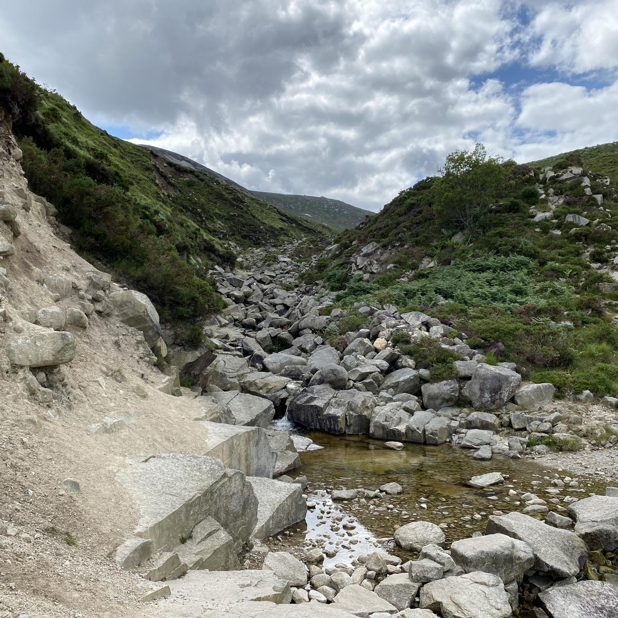
Wikipedia (Tollymore Forest Park, 2026-08-14): https://en.m.wikipedia.org/wiki/Tollymore_Forest_Park “... The Hermitage is a small stone shelter designed by James Hamilton (2nd Earl of Clanbrassil) in the 1770s in memory to his friend the John Montagu, Marquess of Monthermer. It is built into the side of the gorge above the river and was used as a place for ladies to shelter while the men fished. There is an inscription in Greek within the Hermitage which translates as "Clanbrassil, to his very dear friend Monthermer 1770". …”
2
0
Wikipedia (Tollymore Forest Park, 2026-08-14): https://en.m.wikipedia.org/wiki/Tollymore_Forest_Park “... Horn Bridge crosses a small culverted burn (stream) and is crossed by a gravel road. The burn below the bridge is covered with a board walk connected to a path. It was built c.1770 by either the 1st or 2nd Earl. ...”
1
0

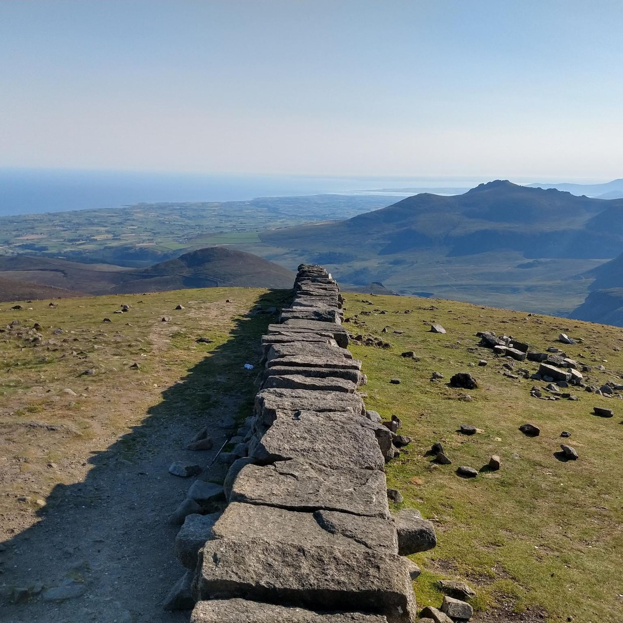
The vast coastline stretches out endlessly before you, and the panorama with the majestic Mourne Hills in the background creates a scene that is hard to put into words. The gentle waves touching the sand and the silence of the surroundings make you feel the vastness and freedom of this place.
1
0
This historic 12th century building is a typical example of an Anglo-Norman motte with a kidney-shaped bailey. The 7.6m high mound, which once housed a wooden tower, was later replaced by a stone tower house, the ruins of which can still be seen today. Access is via Clough's main road; there is a small car park, but it is not always well signposted. Access is usually permitted. The surrounding countryside, with views of the Mourne Mountains, offers a tranquil atmosphere that invites you to linger.
1
0
This picturesque spot is located between Dundrum Bay and Murlough Bay and offers impressive views of the surrounding countryside. The paths there lead through the Murlough National Nature Reserve, a 6,000-year-old dune system that is great for cycling. However, some sections can become slippery in wet weather, so care must be taken. A particular highlight is the Downshire Bridge, which connects the village of Dundrum with the nature reserve and provides a charming crossing over the bay.
1
0
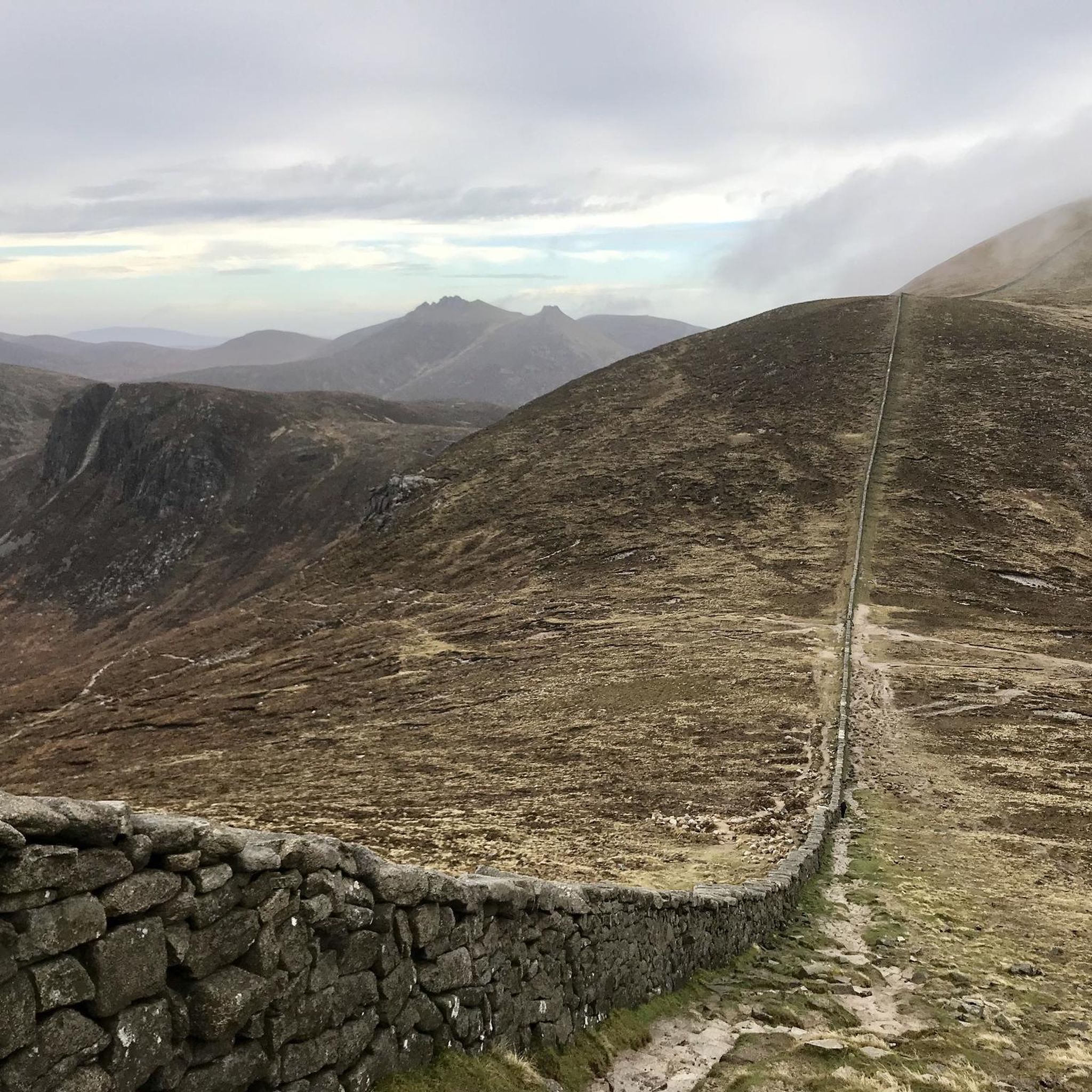
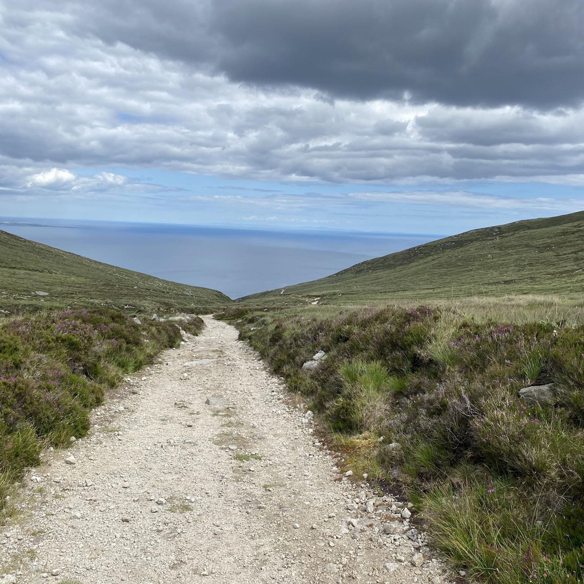
The gently ascending road winds through a wide, open landscape, surrounded by grassy hills and breathtaking silence. Only the wind and the quiet hum of the tires accompany you here as your gaze wanders into the distance. The climb may be challenging, but the view that opens up with every meter of altitude is worth the effort. Once at the top, you feel free and rewarded, as if you have conquered a piece of nature and then the reward comes with the descent.
0
0
Frequently Asked Questions
How many touring cycling routes are available around Ballaghanery Upper?
There are over 40 touring cycling routes available around Ballaghanery Upper, offering a diverse range of experiences for cyclists. These routes are highly rated by the komoot community, with an average score of 4.3 stars.
What kind of landscapes can I expect to see while cycling around Ballaghanery Upper?
The region around Ballaghanery Upper, nestled within the Mourne Mountains, offers a dramatic interplay of granite mountains, serene loughs, and lush forests. You can expect breathtaking views of the Mourne Mountains, including Slieve Donard, and stunning coastal scenery along Carlingford Lough. Forest parks like Tollymore and Kilbroney also provide varied woodland trails.
Are there any notable landmarks or natural features to look out for on the routes?
Yes, touring cycling routes in the area often feature impressive landmarks. You might encounter the iconic Mourne Wall, a 35-kilometer dry-stone wall traversing mountain summits. Other notable features include the Summit of Slieve Donard, Northern Ireland's highest peak, and the tranquil Silent Valley Reservoir. Kilbroney Park is also home to the impressive Cloughmore Stone, offering panoramic views over Carlingford Lough.
What do other cyclists say about the touring routes around Ballaghanery Upper?
The touring cycling routes around Ballaghanery Upper are highly regarded by the komoot community, with an average score of 4.3 stars from over 10 reviews. Cyclists often praise the varied terrain, from challenging mountain climbs to scenic coastal paths, and the stunning natural beauty of the Mourne Mountains region.
Are there family-friendly touring cycling routes near Ballaghanery Upper?
While many routes offer varied terrain, the Carlingford Lough Greenway is particularly suitable for families. It's a largely flat, safe, and incredibly scenic shared pedestrian and cycleway trail along a former railway line, offering uninterrupted views of Carlingford Lough. Kilbroney Park also features dedicated bike trails, including a 'Blue Grade' trail suitable for less experienced riders.
Can I find circular touring routes in the Ballaghanery Upper area?
Yes, many touring cycling routes in the Ballaghanery Upper area are designed as loops. For example, the Slievenaman loop from Newcastle - Mournes and the St John's Point Lighthouse loop from Newcastle are popular circular options. There are also loops like the Newcastle to Clough Castle loop — Mourne and the View of Tollymore Forest – Hare's Bridge loop from Newcastle.
What are the options for parking when accessing touring cycling routes?
Parking is generally available at key access points for popular cycling areas. For instance, Kilbroney Park in Rostrevor, a hub for cycling, offers facilities including parking. Many routes also start from towns like Newcastle, where public parking options can be found.
Is public transport available to reach cycling areas near Ballaghanery Upper?
Public transport options exist to reach some cycling areas. Towns like Rostrevor, which is a gateway to routes in Kilbroney Park and along Carlingford Lough, are accessible by bus services. It's advisable to check local bus schedules for specific routes and stops that align with your chosen cycling starting points.
Are there any cafes or places to stop for refreshments along the touring routes?
Yes, the Mourne region features charming seaside towns and villages where you can find cafes, pubs, and other refreshment stops. Towns like Newcastle, Rostrevor, and Kilkeel, which many routes pass through or start from, offer various options for a break and a bite to eat.
What is the best time of year to go touring cycling in Ballaghanery Upper?
The spring and summer months (April to September) generally offer the most favorable weather for touring cycling in Ballaghanery Upper, with milder temperatures and longer daylight hours. However, the region's beauty can be enjoyed year-round, with autumn providing stunning foliage and winter offering crisp, clear days, though conditions can be more challenging.
Are touring cycling routes around Ballaghanery Upper suitable for beginners?
Yes, there are routes suitable for beginners. While the region is known for its challenging mountain terrain, there are also flatter sections and easier coastal paths. For example, the Carlingford Lough Greenway offers a gentle, scenic ride. Out of 43 total routes, 6 are classified as easy, providing good options for those new to touring cycling.
Are there any challenging touring routes for experienced cyclists?
Absolutely. The Mourne Mountains provide ample challenge for experienced touring cyclists. Routes like the Slievenaman loop from Newcastle - Mournes, with its significant elevation gain, are classified as difficult. Overall, 13 of the 43 routes in the area are rated as difficult, featuring long drags and steady climbs through dramatic mountain scenery.
Are dogs allowed on the touring cycling routes?
Many outdoor areas in the Mourne Mountains region are dog-friendly, especially on public rights of way. However, specific rules may apply in certain parks or nature reserves. It's always best to keep dogs on a lead, especially near livestock or in busy areas, and to check local signage for any restrictions on specific trails or parks like Tollymore or Kilbroney.
Most popular attractions around Ballaghanery Upper
Get inspired with the komoot mobile app


Explore more
Browse the best Cycling routes in other regions.