The best MTB trails around Ballymagart
4.8
(13)
371
riders
Mountain biking around Ballymagart offers access to diverse terrain, including coastal paths, forested areas, and challenging mountain trails. The region is characterized by its rugged landscapes, providing varied surfaces such as rock, roots, and gravel. Riders can expect technical sections and scenic views across the countryside. The area's natural features create a dramatic backdrop for outdoor adventures.
Best mountain bike trails around Ballymagart
- The most popular mountain bike trail is Carlingford — Cooley Mountains loop, a 14.2 miles (22.9…
Last updated: June 27, 2026
22.9km
02:48
870m
870m
Hard mountain bike ride. Good fitness required. Advanced riding skills necessary. Some portions of the route may require you to push your bike.
4.8
(13)
253
riders
31.1km
03:13
830m
830m
Moderate mountain bike ride. Good fitness required. Suitable for all skill levels.

Sign up for free
67
riders
Moderate mountain bike ride. Good fitness required. Suitable for all skill levels.
17
riders
9.14km
01:10
450m
450m
Moderate mountain bike ride. Good fitness required. Suitable for all skill levels.
9
riders
13.3km
01:34
480m
480m
Moderate mountain bike ride. Good fitness required. Suitable for all skill levels.
Our route recommendations are based on thousands of hikes, rides, and runs completed by other people on komoot.
Start today with a free account
Your next adventure awaits.
Login or Signup
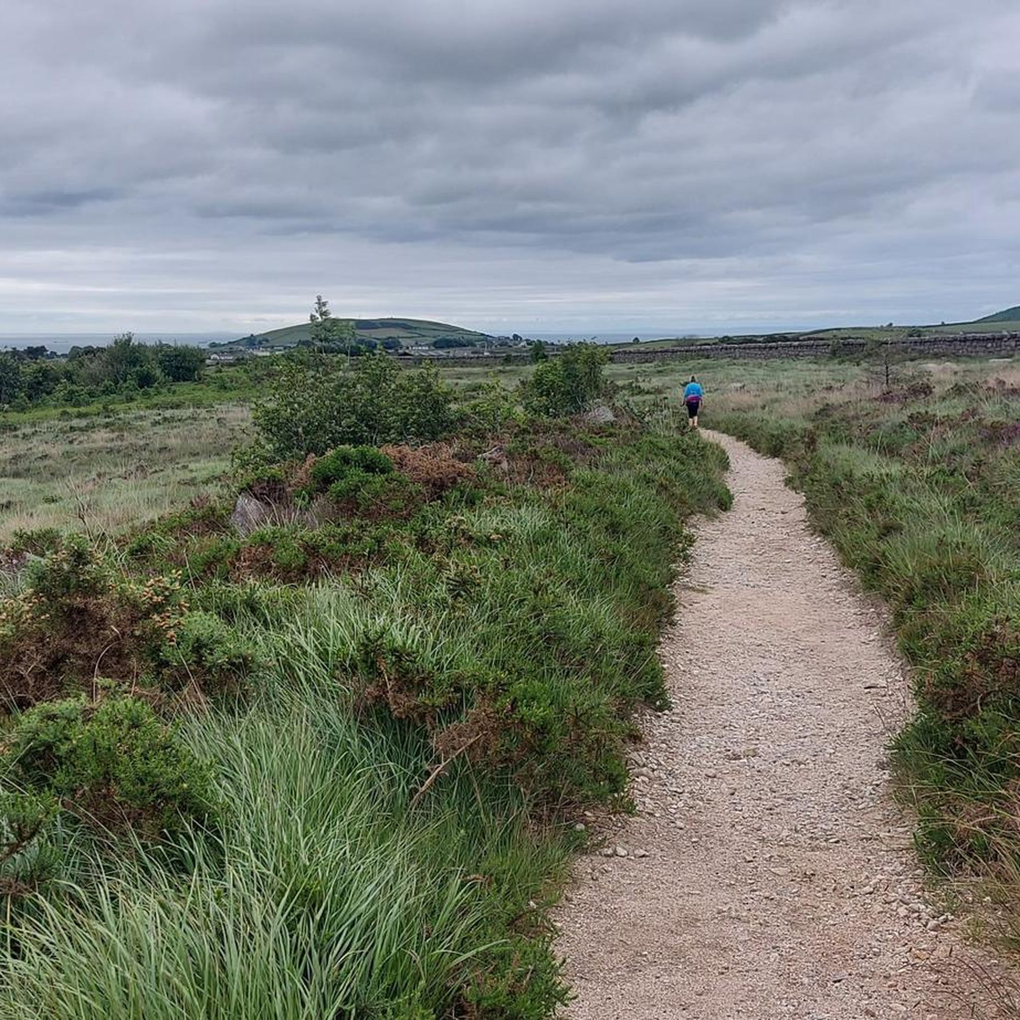

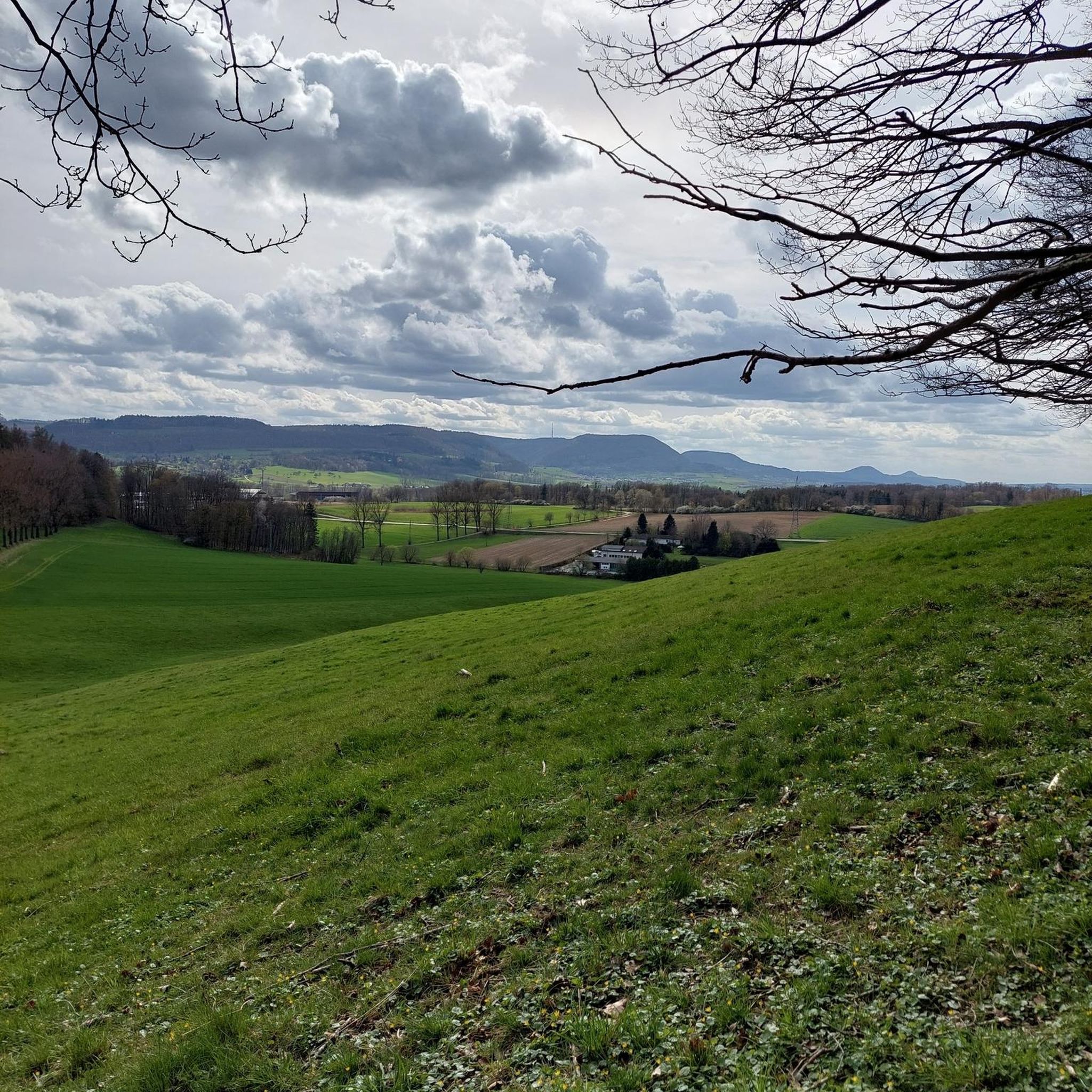

Tips from the Community

Taaffe's Castle is a fortified merchant's house dating from the early 16th century, built by the wealthy Taaffe family, who later became the Earls of Carlingford. Situated near the old harbour, the building originally served as a trading post on the ground floor with residential floors above. The architecture displays typical defensive features such as machicolations, narrow loopholes, spiral staircases, and multi-level garderobes. [curiousireland.ie], [castles.nl], [carlingfor...centre.com] The main structure is a four-storey rectangular tower, later extended with a 16th-century northern extension. Its location and construction clearly demonstrate Carlingford's importance as a thriving trading town during that period. After the 17th century, it fell into disuse, and eventually fell into disuse. Today, it forms part of a pub complex and remains a striking example of medieval urban defensive architecture in Carlingford.
6
1

Carlingford Castle, also known as King John’s Castle, is a striking 12th-century fortress overlooking the charming medieval town of Carlingford and its scenic harbour. Built by Hugh de Lacy to guard the strategic Lough, the castle has a commanding presence with its weathered stone walls and rugged silhouette against the water. Though partially in ruins, it still captures the atmosphere of Ireland’s Norman past, and its elevated position offers sweeping views of the surrounding mountains and coastline.
2
2

The well-signposted paths lead you through dense forests and offer impressive views of Carlingford Lough and the Mourne Mountains. The mountain bike routes in particular are varied and require both fitness and technique. However, some sections can be slippery in wet weather, so caution is advised. A highlight is the Cloughmore Stone, a huge boulder that was transported here during the last ice age. The approach there is steep, but the view makes up for the effort.
0
0
The Long Woman's Grave car park is right at the top of a gentle climb, giving you the perfect opportunity to take in the rolling landscape. Whether you're coming from the north or the south, the roads take you through varied terrain that reveals new panoramas with every bend. It's worth taking a moment to read the story of the "Long Woman" at the memorial - somehow this mystical atmosphere fits perfectly into the surroundings. On the way up, you hardly encounter any traffic, which allows you to fully concentrate on nature and your own line in the bends. The fresh breeze and the smell of damp grass add a little extra to the climb. But the roads are not always in the best condition - some sections do require attention, especially after a rain shower. Once you reach the summit, there is a small rest area, ideal for taking a quick breather and regaining strength for the next stage. A perfect spot to take a short break before continuing with renewed vigor.
0
2
The hike to the Cloghmór Stone feels like a journey through time. Over 10,000 years ago, the ice brought this massive granite block from Scotland here, and now, weighing an estimated 50 tons, it towers majestically over the landscape. But it's not just the geology that's fascinating - according to legend, it was the giant Finn McCool who threw this enormous stone over Carlingford Lough. To be honest, the legend is a much more exciting explanation, isn't it? Once you've reached the top, you'll not only be greeted by the imposing boulder, but also by a fantastic view of Carlingford Lough and the surrounding hills. It's the perfect place to pause for a moment, take in the vastness and enjoy the peace that this place exudes.
0
0

Here it is worth climbing the mountain
0
2

Wikipedia (Slieve Foy (Irish: Sliabh Feá), 2023-12-02): https://en.m.wikipedia.org/wiki/Slieve_Foy Wikipedia (Lists of mountains in Ireland, 2023-12-02): https://en.m.wikipedia.org/wiki/Lists_of_mountains_in_Ireland MountainViews.ie (Slieve Foye, 2023-12-02): https://mountainviews.ie/summit/298/ TheIrishRoadtrip (“A Guide To The Slieve Foye Loop: Trail, Parking + Handy Info”, 2023-12-02): https://www.theirishroadtrip.com/slieve-foye-loop/
2
1

A beautiful round stone, there is a legend about it but unfortunately we could not find out
0
0
Frequently Asked Questions
How many mountain bike trails are there in Ballymagart?
There are currently 5 mountain bike trails around Ballymagart listed on komoot. These routes offer a variety of experiences, from moderate paths to more challenging rides through the region's rugged landscapes.
Are there mountain bike trails suitable for beginners or families in Ballymagart?
While the listed trails tend towards moderate to difficult, the broader County Donegal region, where Ballymagart is likely located, offers options for various skill levels. For example, Rathmullan Bike Park in the Donegal Bay Coast area provides family-friendly courses. When exploring trails around Ballymagart, consider routes like the Kilbroney Park – Glen River Trail loop from Rostrevor, which is a moderate 9.6 km ride.
What natural landmarks or viewpoints can I see while mountain biking in Ballymagart?
The trails around Ballymagart offer access to several notable natural features. You can encounter the impressive Cloughmore Stone, enjoy views from the Silent Valley Reservoir, or ride through areas like Fiddlers Green and Rostrevor Forest. The region is known for its dramatic coastal scenery and mountainous backdrops.
Are there any loop trails for mountain biking in Ballymagart?
Yes, several mountain bike trails in the area are designed as loops. For instance, the popular Carlingford — Cooley Mountains loop is a challenging 22.9 km route. Another option is the moderate Yellow Water Descent – Kilbroney Caravan Park loop from Rostrevor, which covers 31.1 km.
What is the best time of year for mountain biking in Ballymagart?
County Donegal, where Ballymagart is situated, experiences varied weather. Spring and autumn generally offer pleasant temperatures and fewer crowds, making them ideal. Summer provides longer daylight hours but can be busier. Be aware that trails can become slippery when wet due to varied surfaces like rock, roots, and gravel, so always check local weather conditions before heading out.
Can I bring my dog on the mountain bike trails in Ballymagart?
While specific regulations for each trail can vary, many outdoor areas in County Donegal are dog-friendly, especially if dogs are kept on a leash. It's always best to check local signage or specific trail guidelines for the route you plan to ride to ensure it's permissible and to protect local wildlife.
What do other mountain bikers enjoy most about the trails in Ballymagart?
The mountain bike trails around Ballymagart are highly rated by the komoot community, with an average score of 4.75 stars from over 12 reviews. Riders often praise the varied terrain, the challenging technical sections, and the dramatic, scenic views across the rugged landscapes and coastal areas.
Are there advanced mountain bike trails in Ballymagart?
Yes, Ballymagart offers trails for experienced riders seeking a challenge. The Carlingford — Cooley Mountains loop is classified as difficult, featuring significant elevation gain over its 22.9 km length. Other routes, like the Kilbroney Caravan Park – Cloughmore Stone loop from Rostrevor, offer moderate challenges with substantial climbs.
How long are the mountain bike trails around Ballymagart?
The mountain bike trails in the area vary in length. For example, the Red Trail Section, Mourne AONB – Kilbroney Caravan Park loop from Rostrevor is 15.1 km and typically takes about 1 hour 35 minutes. Longer routes, such as the Yellow Water Descent – Kilbroney Caravan Park loop from Rostrevor, extend to 31.1 km.
What kind of wildlife might I encounter on the mountain bike trails?
County Donegal's diverse landscapes, including forests, mountains, and coastal areas, are home to a variety of wildlife. You might spot various bird species, including birds of prey, and potentially mammals like deer or foxes. The region's natural beauty is a key part of the outdoor experience.
Are there cafes or places to eat near the mountain bike trails?
While specific cafes directly on the trails are not detailed, the towns and villages surrounding Ballymagart and within County Donegal offer various dining options. Rostrevor, for example, which is a starting point for several listed trails, would have local amenities. It's advisable to check local listings for cafes and pubs in nearby settlements before your ride.
How are the trail conditions typically for mountain biking in Ballymagart?
The mountain bike trails in this region feature varied surfaces, including rock, roots, mud, loose stones, and gravel. These conditions can become more challenging and slippery when wet, providing a technical ride. Always be prepared for changing conditions and wear appropriate gear.
Most popular routes around Ballymagart
Most popular attractions around Ballymagart

Get inspired with the komoot mobile app


Explore more
Browse the best MTB trails in other regions.
