The best road cycling routes around Carnaboy
4.5
(6)
623
riders
70
rides
Road cycling routes around Carnaboy traverse the diverse landscapes of East Yorkshire, offering varied terrain for cyclists. The region is characterized by the gently rolling chalk hills of the Yorkshire Wolds, providing quiet country lanes and expansive views. Proximity to the East Yorkshire coastline, including areas like Bridlington and Flamborough Head, adds dramatic elements with sea views and chalk cliffs. Routes often feature a mix of quiet roads, promenades, and designated cycle paths, catering to different cycling preferences.
Best road…
Last updated: July 9, 2026
5.0
(1)
2
riders
32.8km
01:28
260m
260m
This easy 20.4-mile road cycling loop from Coleraine to Bushmills offers coastal views, Dunluce Castle, and the Old Bushmills Distillery.
44
riders
29.8km
01:19
190m
190m
Easy road ride. Great for any fitness level. Mostly well-paved surfaces and easy to ride.

Sign up for free
4.0
(1)
30
riders
59.8km
02:35
420m
420m
Moderate road ride. Good fitness required. Mostly well-paved surfaces and easy to ride.
3.0
(1)
22
riders
43.0km
01:58
260m
260m
Easy road ride. Great for any fitness level. Mostly well-paved surfaces and easy to ride.
14
riders
40.3km
01:53
310m
310m
Moderate road ride. Good fitness required. Mostly well-paved surfaces and easy to ride.
Get access to more routes and recommendations from other explorers.
Sign up for free
Already have an account?
Our route recommendations are based on thousands of hikes, rides, and runs completed by other people on komoot.
Start today with a free account
Your next adventure awaits.
Login or Signup
Popular around Carnaboy

Tips from the Community

Beautiful view of the cliffs and Dunluce Castle.
0
0

Impressive views down into the valley and a beautiful view of Dunluce Castle,
2
0
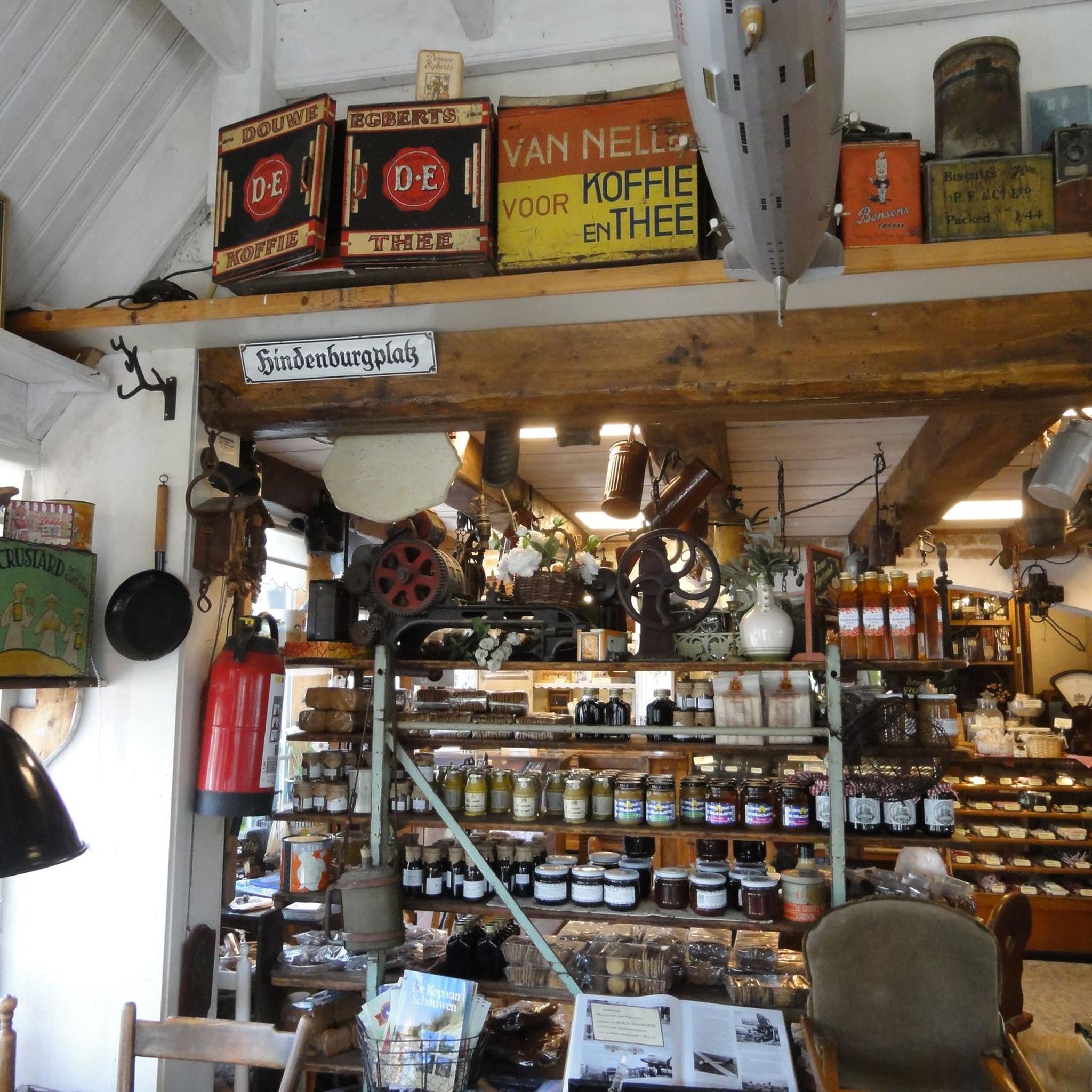
Shop with a good selection of whiskeys
3
0


Dunluce Castle in Northern Ireland is an impressive ruin perched on a cliff above the sea. Its dramatic location and rugged rocky landscape lend the castle a special atmosphere. The remains tell a rich history and offer fascinating insights into medieval defensive architecture. The views of the sea and the surrounding nature make a visit an unforgettable experience. Dunluce Castle is a place that combines both history and nature in a striking way.
2
0
Frequently Asked Questions
How many road cycling routes are available around Carnaboy?
There are over 80 road cycling routes available around Carnaboy, catering to various skill levels. You'll find a diverse selection, from easy rides to more challenging routes, all within the beautiful East Yorkshire landscape.
What kind of terrain can I expect when road cycling near Carnaboy?
Road cycling near Carnaboy offers a mix of terrain. You'll primarily encounter the gently rolling chalk hills of the Yorkshire Wolds, featuring quiet country lanes and expansive 'big skies'. Additionally, routes often provide dramatic coastal views along the East Yorkshire coastline, including areas like Bridlington and Flamborough Head. The paths are generally paved, with some routes incorporating designated cycle paths and promenades.
What is the best time of year for road cycling in Carnaboy?
The best time for road cycling in Carnaboy is generally during the warmer months, from spring through autumn. This period offers more favorable weather conditions for enjoying the open roads and coastal scenery. The 'big skies' of the Yorkshire Wolds are particularly stunning during clear weather.
What do other road cyclists enjoy most about the routes around Carnaboy?
The road cycling routes around Carnaboy are highly rated by the komoot community, with an average score of 5.0 stars. Cyclists often praise the varied terrain, from the tranquil Wolds to the dramatic coastline, and the opportunities to discover charming villages and notable landmarks along the way. Over 700 road cyclists have used komoot to explore this region.
Are there road cycling routes suitable for beginners or families around Carnaboy?
Yes, Carnaboy offers several road cycling routes suitable for beginners and families. Out of the 88 routes, 35 are graded as easy. An example is the Portstewart Promenade – View of Portrush Harbour loop from Coleraine, which is an easy 18.6 miles (29.9 km) path providing pleasant views.
Are there more challenging road cycling routes for experienced cyclists?
Yes, experienced cyclists will find more challenging options around Carnaboy. There are 7 routes graded as difficult and 46 as moderate. These routes often feature more significant elevation gains and longer distances, such as the Sea Shed Coffee & Fruit – Mussenden Temple loop from Coleraine, a 37.4 miles (60.2 km) trail with notable elevation.
Can I find circular road cycling routes in the Carnaboy area?
Yes, the Carnaboy area, particularly within the Yorkshire Wolds, is known for its circular road cycling routes. These routes allow you to experience the diverse landscapes without retracing your path. The wider East Riding of Yorkshire also features magnificent circular routes like the 146-mile Yorkshire Wolds Cycle Route, as well as shorter day rides of 17-24 miles on quiet country lanes.
What landmarks or attractions can I see along the road cycling routes near Carnaboy?
Many road cycling routes near Carnaboy pass by or lead to notable landmarks and attractions. You can explore historic sites like Dunluce Castle Ruins, or natural wonders such as The Camel Rock Formation and the dramatic View of the Causeway Coast Cliffs. Other points of interest include Portballintrae Bay and the Magheracross Viewpoint.
Are there places to stop for refreshments like cafes or pubs along the routes?
Yes, many road cycling routes in the Carnaboy area wind through charming villages and historic market towns, offering opportunities for refreshment stops. You'll find cafes and pubs where you can take a break and refuel. For example, the Sea Shed Coffee & Fruit – Mussenden Temple loop from Coleraine suggests a coffee stop.
What are some popular road cycling routes around Carnaboy?
Among the most popular road cycling routes is the Causeway Coast Cycle Route: Coleraine to Bushmills Loop, a 20.4 miles (32.8 km) trail offering scenic coastal views. Another favorite is the Dunluce Castle – Magheracross Viewing Point loop from Coleraine, an easy 41.7 km route.
Is parking available at the starting points of road cycling routes?
While specific parking details vary by route, many cycling routes in the East Riding of Yorkshire, including those around Carnaboy, are accessible from towns and villages that offer public parking. It's advisable to check the starting point of your chosen route for local parking options.
Can I reach the cycling routes using public transport?
The East Yorkshire region has public transport links to its towns and villages. While direct access to every route starting point might vary, you can often reach key areas like Bridlington or other market towns by public transport, from where you can begin your cycling adventure. Always check local bus or train schedules for the most up-to-date information.
Most popular routes around Carnaboy
Most popular attractions around Carnaboy

Get inspired with the komoot mobile app


Explore more
Browse the best Road cycling routes in other regions.
