The best walks and hikes around Loughan Hill
4.7
(82)
1,004
hikers
47
hikes
Hiking around Loughan Hill offers a variety of trails primarily characterized by gentle terrain, river views, and historical sites. The region features paths along the River Bann, through areas like Mountsandel Fort, and within local woodlands such as Somerset Forest. Elevation changes are generally minimal, making many routes accessible for a wide range of hikers.
Best hiking trails around Loughan Hill
- The most popular hiking route is View of the River Bann – Mountsandel Fort loop from Causeway Hospital,…
Last updated: June 25, 2026
5.0
(2)
27
hikers
Easy hike. Great for any fitness level. Easily-accessible paths. Suitable for all skill levels.
5.0
(2)
26
hikers
4.00km
01:03
30m
30m
Easy hike. Great for any fitness level. Easily-accessible paths. Suitable for all skill levels.

Sign up for free
26
hikers
6.76km
01:46
50m
50m
Easy hike. Great for any fitness level. Easily-accessible paths. Suitable for all skill levels.
3.0
(1)
12
hikers
3.23km
00:52
40m
40m
Easy hike. Great for any fitness level. Easily-accessible paths. Suitable for all skill levels.
9
hikers
5.91km
01:34
50m
50m
Easy hike. Great for any fitness level. Easily-accessible paths. Suitable for all skill levels.
Get access to more routes and recommendations from other explorers.
Sign up for free
Already have an account?
Our route recommendations are based on thousands of hikes, rides, and runs completed by other people on komoot.
Start today with a free account
Your next adventure awaits.
Login or Signup

Tips from the Community

Portstewart Strand is a sweeping two-mile beach at the edge of town and forms a fitting finale (or start!) to the Causeway Coast Way. The viewpoint is from St. Patrick’s Well, a small spring long associated with local tradition.
1
0


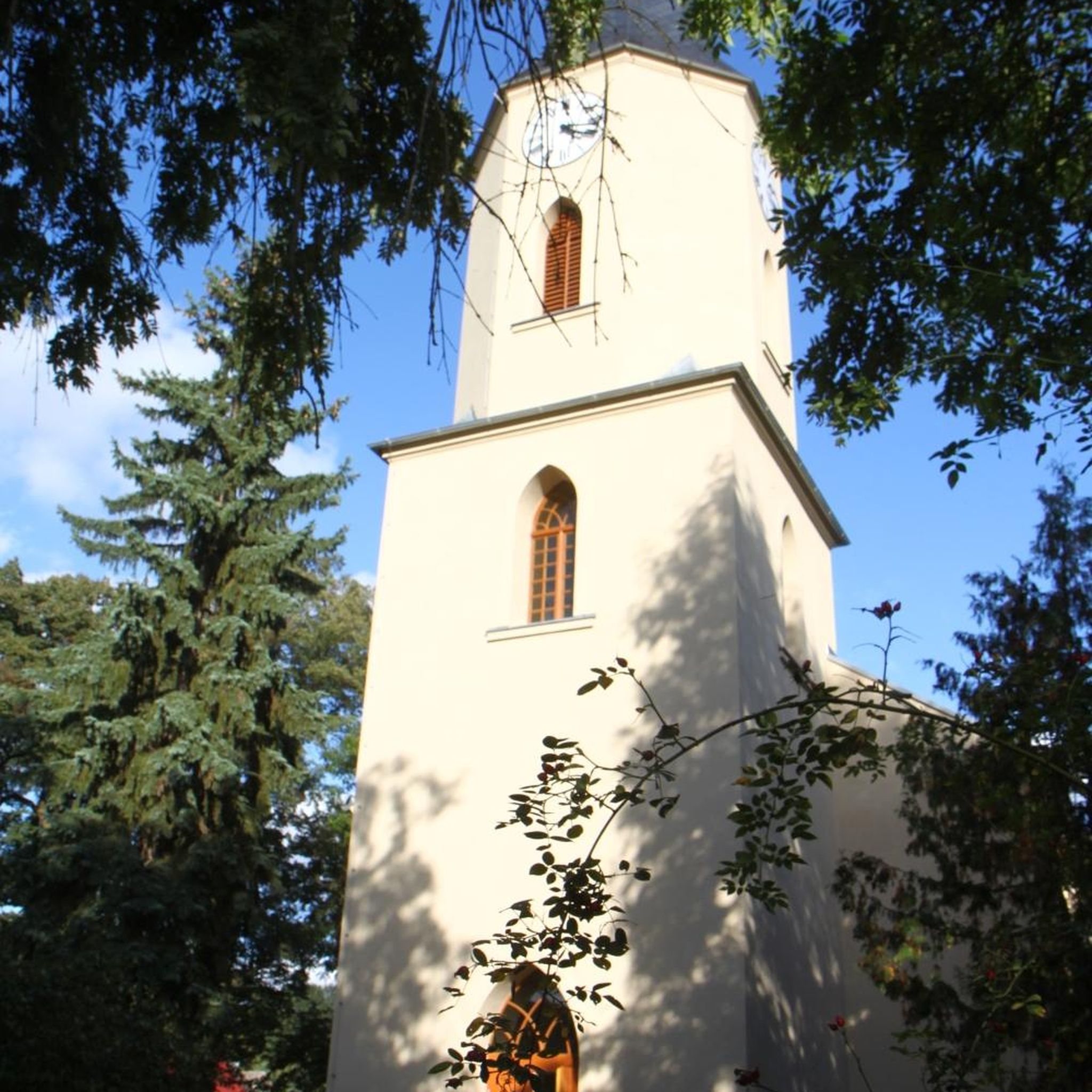
Mountsandel Fort is a prehistoric fort dating to the Mesolithic period that was reused in the Irish Middle Ages (10th to 11th centuries). Located in Coleraine, County Derry, the fort consists of a huge grassy mound hollowed out in the middle, overlooking the River Bann. A must-see for lovers of mysterious monuments!
1
0

Beautiful walk along the seafront, overlooking the town, the beach and the cliffs in the distance. Lots of shops and restaurants nearby.
1
0

Lovely big wide windswept beach with fabulous views to Mussenden Temple (Downhill) and across to Donegal. You can take your car on to the beach (NT charges apply) or park in Portstewart and walk round the cliff path.
2
0

Locally known as 'The Strand,' this treasure of golden sand is located right next to the mouth of the River Bann and a field with 6,000-year-old sand dunes that have been declared as an Area of Special Scientific Interest.
2
0

You can walk along a well defined forest path from the small car park near Coleraine Courthouse and from the Fort, you can see great views of the Salmon Leap (Weir) and Coleraine.
1
0
Frequently Asked Questions
How many hiking trails are available around Loughan Hill?
Loughan Hill offers a diverse network of nearly 50 hiking routes. The majority, around 35, are classified as easy, with 12 moderate and a couple of more challenging options available for those seeking a longer adventure.
Are there easy or family-friendly hiking options in Loughan Hill?
Yes, Loughan Hill is well-suited for easy and family-friendly walks. Many routes feature gentle terrain and minimal elevation changes. A great option is the Mountsandel Fort – Mountsandel Fort loop from Coleraine, which is an easy 2.5-mile (4.0 km) path exploring natural scenery around the historic fort.
What kind of terrain can I expect on hikes in Loughan Hill?
The hiking trails around Loughan Hill are primarily characterized by gentle terrain, often following river paths along the River Bann, winding through local woodlands like Somerset Forest, and passing historical sites. Elevation changes are generally minimal, making for comfortable walks.
Are there any circular walks in the Loughan Hill area?
Yes, many of the routes in Loughan Hill are circular, offering convenient starting and ending points. For example, the View of the River Bann – Mountsandel Fort loop from Causeway Hospital is a popular 2.8-mile (4.5 km) circular trail with scenic river views and historical interest.
What are some notable landmarks or viewpoints to see while hiking?
The area around Loughan Hill is rich in historical and natural sights. You can explore the historic Mountsandel Fort, enjoy views of the River Bann, or venture slightly further to discover attractions like the Dunluce Castle Ruins or the scenic Magheracross Viewpoint.
How long do hikes typically take in Loughan Hill?
Hikes in Loughan Hill vary in length and duration. Many of the popular easy routes can be completed in under 1.5 hours. For instance, the Somerset Forest loop from Causeway Hospital is a 2.0-mile (3.2 km) trail that typically takes about 52 minutes.
Is Loughan Hill suitable for dog-friendly walks?
Many of the trails in Loughan Hill, particularly those through woodlands and along river paths, are suitable for walking dogs. It's always recommended to keep dogs on a lead, especially near wildlife or livestock, and to check local signage for any specific restrictions.
What do other hikers say about the trails in Loughan Hill?
The komoot community highly rates the trails in Loughan Hill, with an average score of 4.7 stars from over 80 reviews. Hikers often praise the area for its accessible paths, beautiful river views, and the peaceful atmosphere of its woodlands and historical sites.
Are there any longer or more challenging routes for experienced hikers?
While Loughan Hill is known for its accessible trails, there are a couple of routes classified as difficult for those seeking a greater challenge. These routes might involve slightly longer distances or more varied terrain compared to the predominantly easy paths.
Where can I find parking for the Loughan Hill hiking trails?
Many of the popular trailheads around Loughan Hill, such as those near Causeway Hospital or Coleraine, offer convenient parking options. Specific parking details are usually available on individual route pages, like the starting point for the Mountsandel Fort – View of the River Bann loop from Causeway Hospital.
What is the best time of year to hike in Loughan Hill?
Loughan Hill offers pleasant hiking conditions throughout much of the year. Spring and autumn provide comfortable temperatures and beautiful scenery with changing foliage. Summer is ideal for longer days, while winter walks can be refreshing, especially on the well-maintained paths, though appropriate gear is always recommended.
Are there any coastal walks or beaches near Loughan Hill?
While Loughan Hill itself is inland, the wider region offers beautiful coastal options. Nearby attractions include Portstewart Strand, East Strand Beach, and Castlerock Beach, providing opportunities for scenic walks along the coastline.
Most popular attractions around Loughan Hill

Get inspired with the komoot mobile app


Explore more
Browse the best Hikes in other regions.
