The best running trails around Niederschönenfeld
4.3
(125)
2,500
runners
269
runs
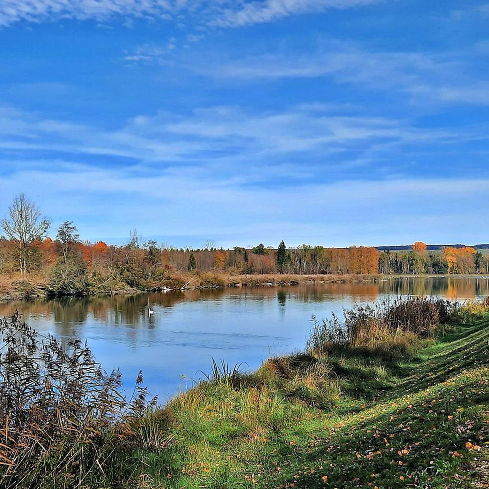
Jogging around Niederschönenfeld offers a variety of routes primarily characterized by flat to gently rolling terrain along riverbanks and around local lakes. The region's landscape features the Lech and Danube rivers, providing scenic paths ideal for running. Many routes traverse open fields and pass by small bodies of water, offering a tranquil environment for outdoor activity. This area is well-suited for those seeking accessible running routes with minimal elevation changes.
Best jogging routes around Niederschönenfeld
- The most popular jogging route…
Last updated: October 8, 2026
5.0
(1)
33
runners
10.9km
01:08
20m
20m
Moderate run. Good fitness required. Mostly paved surfaces. Suitable for all skill levels.
4.0
(1)
25
runners
13.0km
01:20
30m
30m
Moderate run. Good fitness required. Mostly paved surfaces. Suitable for all skill levels.

3.0
(1)
22
runners
5.96km
00:37
20m
20m
Moderate run. Good fitness required. Mostly paved surfaces. Suitable for all skill levels.
4.0
(2)
12
runners
Moderate run. Good fitness required. Mostly paved surfaces. Suitable for all skill levels.
8
runners
6.39km
00:39
10m
10m
Moderate run. Good fitness required. Mostly paved surfaces. Suitable for all skill levels.
Get access to more routes and recommendations from other explorers.
Already have an account?
Our route recommendations are based on thousands of hikes, rides, and runs completed by other people on komoot.
Start today with a free account
Your next adventure awaits.
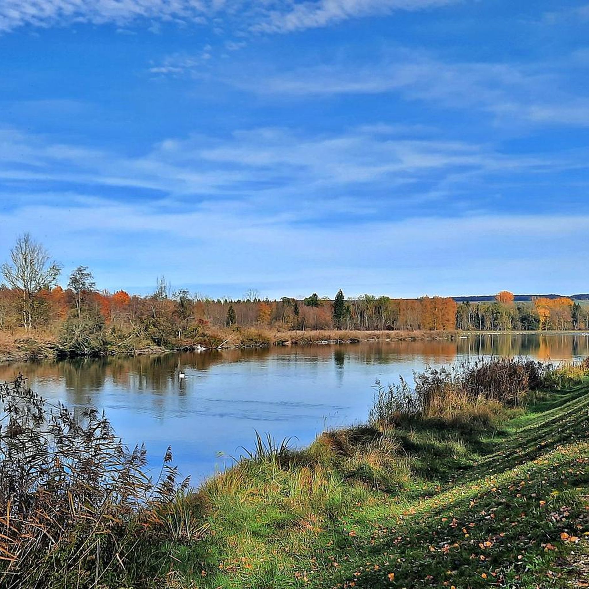
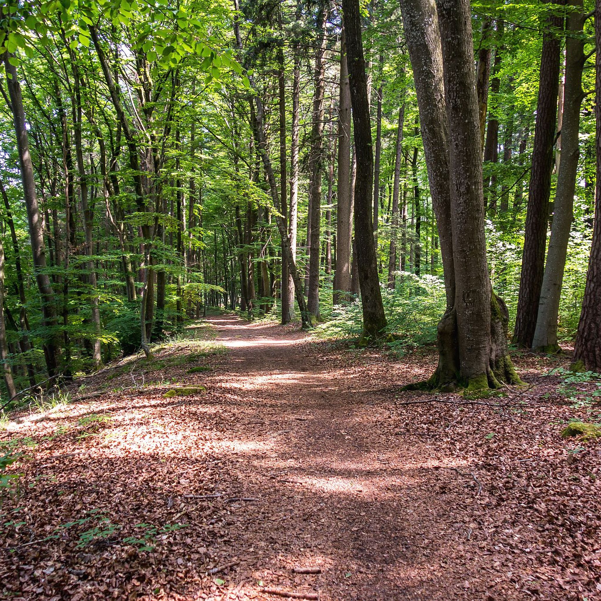
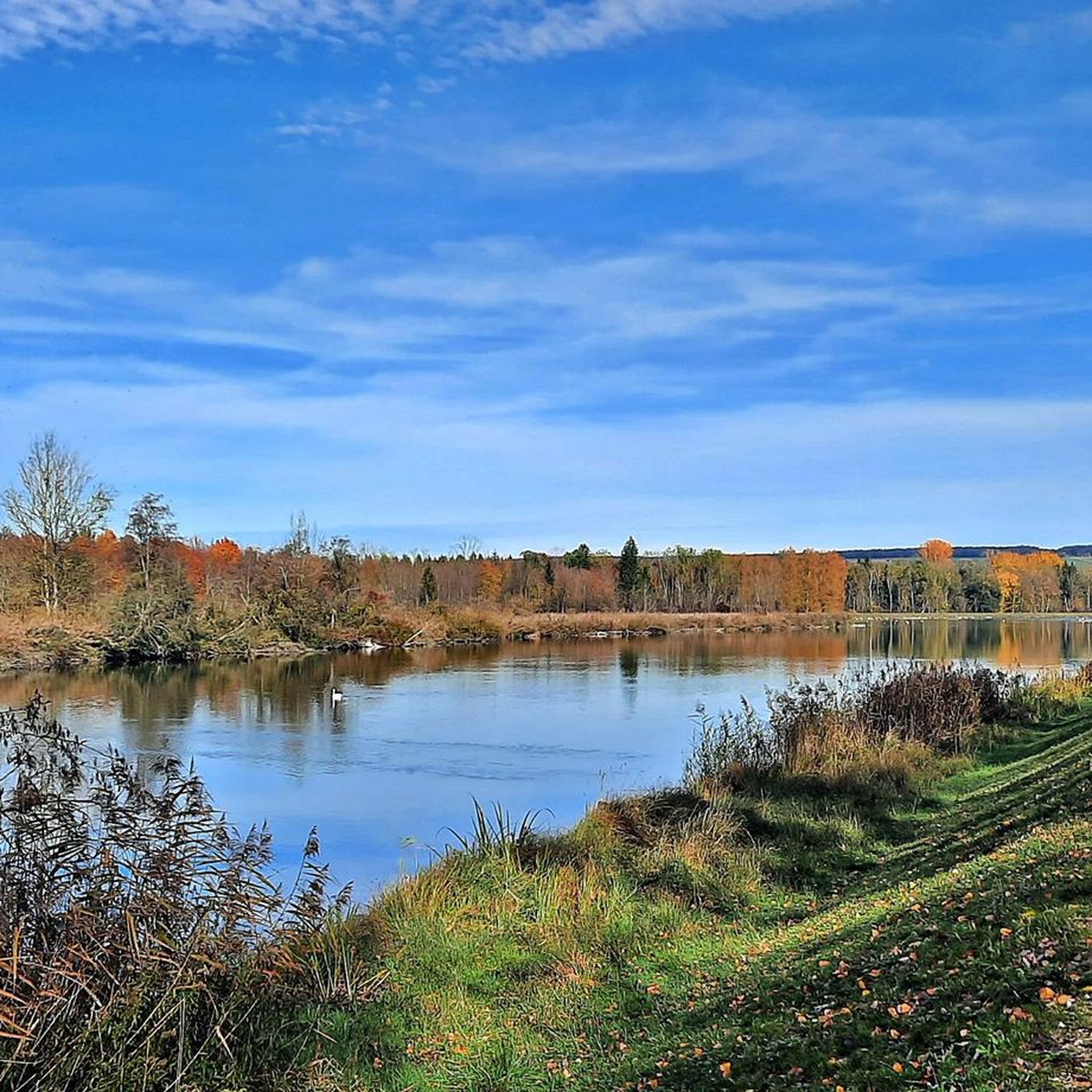
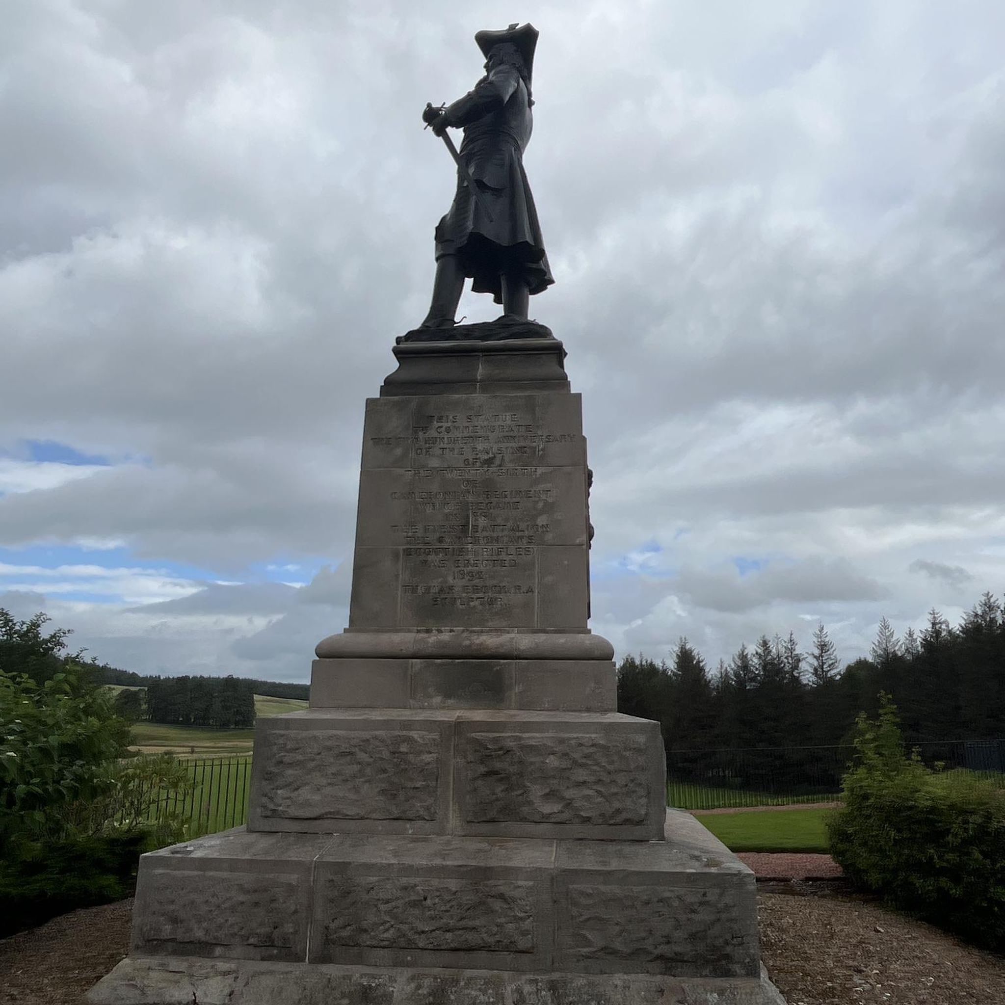
Tips from the Community


The Niederschönenfeld Lech Barrage is a major hydroelectric power plant on the Lech River, serving to generate energy and offering scenic and touristic benefits. **Location and Function:** The barrage is located near Niederschönenfeld in the Bavarian district of Donau-Ries. It is part of a chain of barrages on the Lech River, which serve to regulate the river's water and harness its energy. The construction of the barrage dams the water to create a height difference for the turbines. **Power Plant and Energy Generation:** The power plant harnesses the potential energy of the dammed water to generate electricity. It makes an important contribution to the regional energy supply and the use of renewable energy. **Landscape Significance and Recreation:** Although primarily a technical structure, the barrage also impacts the surrounding landscape. The dammed Lech River forms a lake that provides habitat for aquatic plants and animals. The riverbanks can be attractive for those seeking recreation, for example, for walks or nature observation. The barrage itself can be interesting from a technical perspective. **In summary:** The Niederschönenfeld Lech barrage is a functional hydroelectric power plant that plays an important role in energy generation and simultaneously shapes the Lech River landscape. It is an example of the use of natural resources for sustainable energy production.
0
0


Impressive castle with a beautiful view of the Danube.
6
0

not many words - simply worth it.
1
0

An information board about the local nature reserve. Priority for migratory birds. Really interesting!
1
0

From here you have an excellent view over the Danube valley.
2
0
Frequently Asked Questions
What kind of terrain can I expect on running routes around Niederschönenfeld?
The running routes in Niederschönenfeld are primarily characterized by flat to gently rolling terrain. You'll find many paths along the Lech and Danube riverbanks, as well as around local lakes and through open fields. This makes the area well-suited for those seeking accessible running with minimal elevation changes.
Are there any easy or beginner-friendly jogging routes in Niederschönenfeld?
Yes, Niederschönenfeld offers a good selection of easy running routes. The region's generally flat landscape along rivers and lakes is ideal for beginners. For example, the Fohlenweidensee loop from Rain is a moderate 3.7 miles (6.0 km) trail that is often completed in about 37 minutes, offering a pleasant lakeside experience.
Can I find shorter running routes, for example, around 5k, in the area?
Absolutely. Many routes in Niederschönenfeld are suitable for shorter runs. While the Fohlenweidensee loop from Rain is just under 6 km, there are numerous other options. You can use komoot's route planner to filter for specific distances to find the perfect 5k or shorter running path.
Are there any challenging running routes for more experienced runners?
While the region is known for its gentle terrain, there are routes that offer a bit more distance and subtle elevation changes to provide a moderate challenge. For instance, the Second Lech Weir Upstream loop from Rain is an 8.2 miles (13.3 km) path that follows the Lech river, providing a consistent riverside experience that can be a good test for endurance.
What kind of scenic views can I expect on the jogging trails?
The running routes in Niederschönenfeld offer picturesque views primarily along the Lech and Danube rivers, as well as serene local lakes. You'll often pass through open fields and tranquil natural settings. The Lech Lakes – Lech run-of-river hydroelectric power plant loop from Rain, for example, provides lovely views of the Lech Lakes.
Are there any circular running routes available?
Yes, many of the running routes in Niederschönenfeld are designed as circular loops, making them convenient for starting and ending at the same point. Examples include the popular Lech Lakes – Lech run-of-river hydroelectric power plant loop from Rain and the Fohlenweidensee loop from Rain.
What do other runners say about the trails in Niederschönenfeld?
The running routes in Niederschönenfeld are highly rated by the komoot community, with an average score of 4.3 stars from over 90 reviews. Runners often praise the tranquil environment, the well-maintained paths along the rivers and lakes, and the accessibility for various fitness levels.
Are there any interesting landmarks or attractions to see near the running routes?
Yes, the region around Niederschönenfeld offers several interesting sights. You might encounter historical structures like Leitheim Castle or the Rieder Gate in Donauwörth. Many routes also pass by natural features such as the Lech Lakes or the Danube Embankment. For a route that includes a castle view, consider the View of the Danube Valley – Leitheim Castle loop from Schloss Leitheim.
Are the running routes in Niederschönenfeld suitable for families?
Given the generally flat and gentle terrain along riverbanks and around lakes, many routes in Niederschönenfeld are indeed suitable for families, especially those with younger children or strollers. The lack of significant elevation makes for a pleasant and less strenuous outing. Always check the specific route details on komoot for length and surface conditions to ensure it meets your family's needs.
Is there good public transport access to the running trails?
Niederschönenfeld and nearby towns like Rain are connected by local bus services. While some routes might start directly from the village center, others may require a short walk from a bus stop. It's advisable to check local bus schedules and route starting points on komoot to plan your journey effectively.
Are there options for parking near the jogging trails?
Yes, in Niederschönenfeld and surrounding areas, you can typically find parking options near popular trailheads, especially in or near village centers and recreational areas by the lakes or rivers. Many routes, like the Running loop from Niederschönenfeld, often start from locations with accessible parking.
What is the best time of year to go running in Niederschönenfeld?
The region is enjoyable for running throughout much of the year. Spring and autumn offer pleasant temperatures and beautiful scenery with blooming nature or colorful foliage. Summer is also great, especially in the mornings or evenings to avoid the midday heat, with the river and lake paths providing refreshing breezes. Even in winter, if paths are clear of snow and ice, the tranquil landscape can be very appealing for a run.
Most popular routes around Niederschönenfeld
Most popular attractions around Niederschönenfeld

Get inspired with the komoot mobile app


Explore more
Browse the best Running Trails & Routes in other regions.
