The best road cycling routes around Slievenacloy
4.5
(55)
3,278
riders
292
rides
Road cycling around Slievenacloy, situated within the Belfast Hills, offers varied terrain and significant elevation changes. The area is characterized by a network of public roads that traverse diverse landscapes, including grasslands, meadows, and higher wet heath vegetation. While the Slievenacloy Nature Reserve itself features internal surfaced tracks more suited for walking, the surrounding formal road network provides numerous options for road cyclists. These routes often include challenging ascents and rewarding descents, with panoramic views across Northern Ireland.
Best road…
Last updated: July 5, 2026
73
riders
44.3km
01:53
200m
200m
Easy road ride. Great for any fitness level. Mostly well-paved surfaces and easy to ride.
54
riders
66.9km
02:45
360m
360m
Moderate road ride. Good fitness required. Mostly well-paved surfaces and easy to ride.

Sign up for free
43
riders
105km
04:35
730m
730m
Moderate road ride. Good fitness required. Mostly well-paved surfaces and easy to ride.
5.0
(1)
74
riders
56.9km
02:48
440m
440m
Moderate road ride. Good fitness required. Some segments of this route may be unpaved and difficult to ride.
5.0
(1)
39
riders
42.0km
01:48
240m
240m
Easy road ride. Great for any fitness level. Mostly well-paved surfaces and easy to ride.
Get access to more routes and recommendations from other explorers.
Sign up for free
Already have an account?
Our route recommendations are based on thousands of hikes, rides, and runs completed by other people on komoot.
Start today with a free account
Your next adventure awaits.
Login or Signup
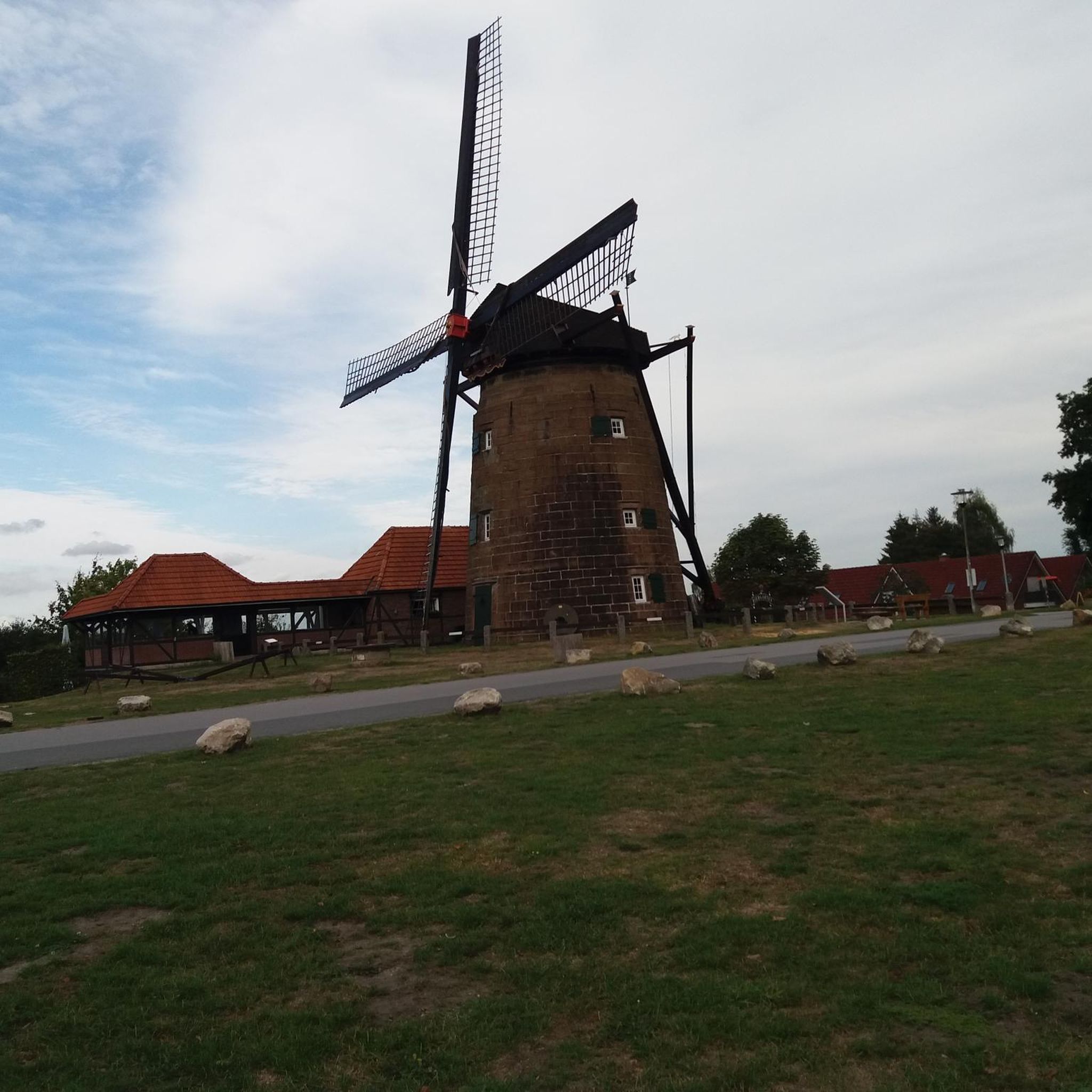
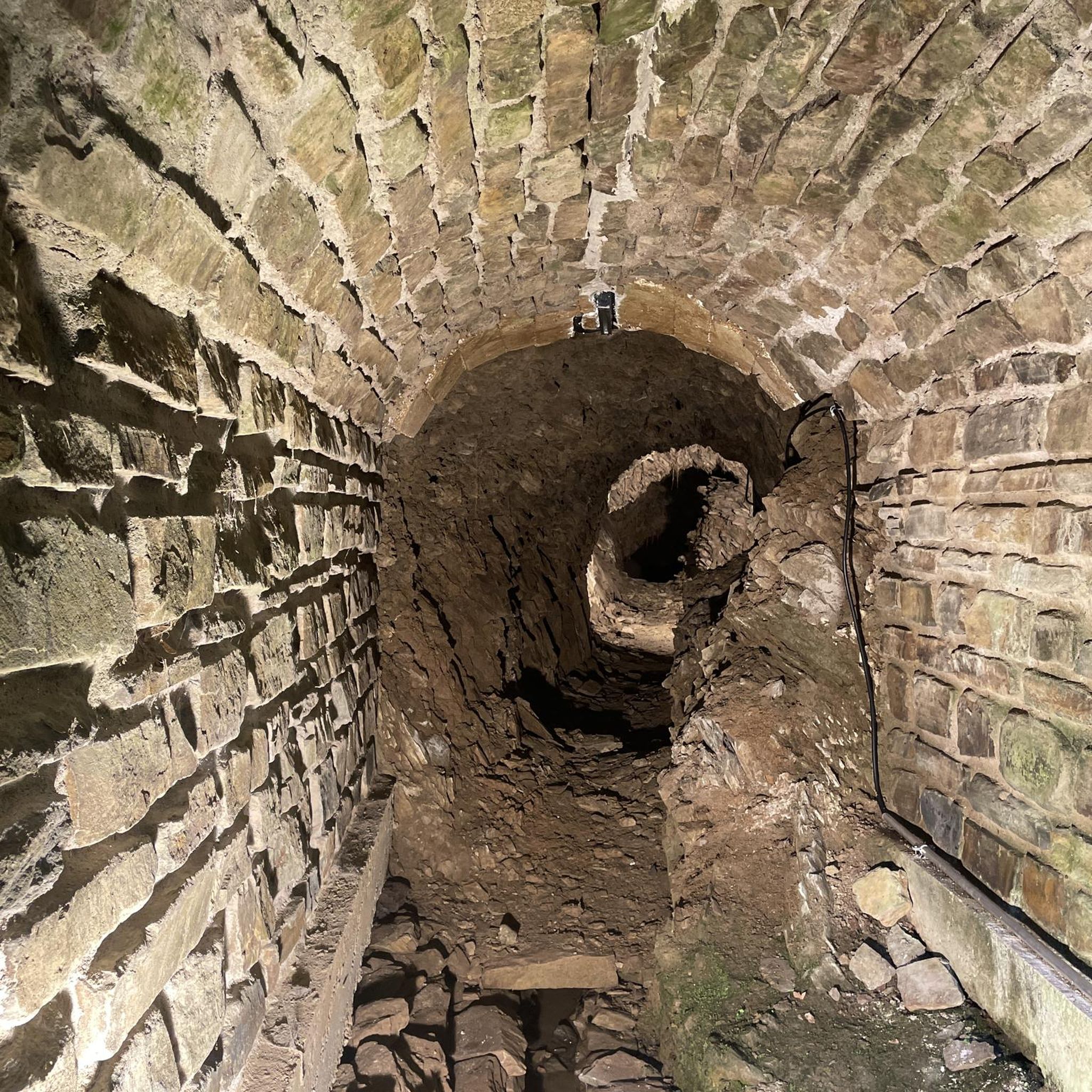

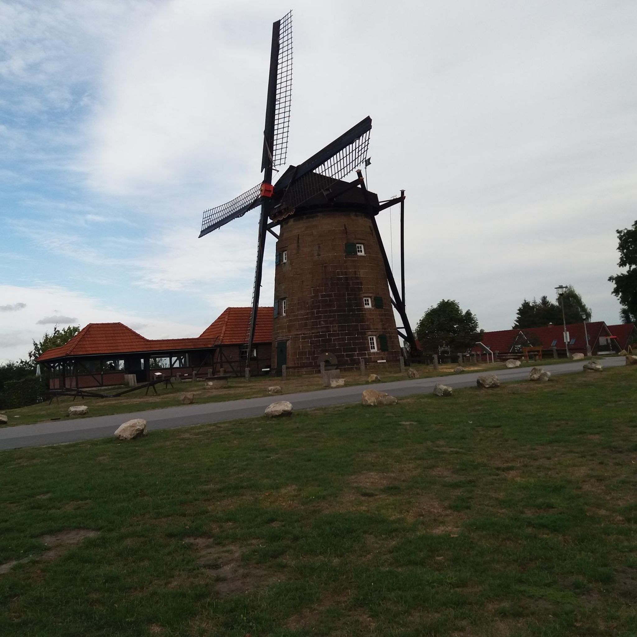
Tips from the Community


If you get the chance visit the Great Hall with the portraits of all the chancellors of the university.
1
0
The restaurant is less interesting, but a visit to the pub is a must when in Belfast.
1
0
Relaxed walking along the river (though a bit too much concrete) and popular for running.
3
0
Impressive main building of the University and a great sight in early evening witrh twilight outside and all windows lit.
2
0

from the large model kit
2
0

The Leaning Tower of Belfast.
0
0
In Belfast stands a fish so large, Made of steel and art, a true castle. Its blue shines in the sunlight, Its face a marine wonder. It swims in the cityscape, proud and free, A symbol of strength and harmony. People watch, marvel, laugh, And are awakened by the work of art. A sea spirit in the middle of the city, That shows what art and courage can do. The blue fish, so beautiful and clear, Remains wonderful in our hearts.
0
0
Frequently Asked Questions
How many road cycling routes are available around Slievenacloy?
There are over 300 road cycling routes available in the Slievenacloy area, offering a wide range of options for different skill levels. You'll find approximately 50 easy routes, over 240 moderate routes, and about 20 more challenging rides.
What kind of terrain can I expect on road cycling routes near Slievenacloy?
Road cycling around Slievenacloy, nestled within the Belfast Hills, features varied topography with significant elevation changes. You'll encounter challenging ascents and rewarding descents on public roads that traverse diverse landscapes, including grasslands, meadows, and higher wet heath vegetation. The area is known for its scenic beauty and varied terrain.
Are there any easy road cycling routes suitable for beginners or families?
Yes, there are nearly 50 easy road cycling routes around Slievenacloy. One example is the Wallace Park – Lisburn to Belfast Pathway loop from Dunmurry, which is 42 km long and takes about 1 hour 48 minutes to complete, offering a gentler ride.
What are some of the longer or more challenging road cycling routes in the area?
For those seeking a longer or more challenging ride, the area offers several options. The Scarva Village – Redhill Climb loop from Dunmurry is a moderate 97.2 km route featuring notable climbs and passing through rural villages. Another option is the Lagan Towpath – Harry Ferguson Memorial Garden loop from Derriaghy, an 81.9 km moderate route with significant elevation gain.
Are there good viewpoints or natural features to see along the road cycling routes?
Absolutely. From various points across the Belfast Hills, including areas near Slievenacloy, you can enjoy breathtaking panoramic views stretching across Belfast and five of Northern Ireland's six counties, encompassing the Mourne Mountains, Lough Neagh, and the Sperrins. The landscape itself is rich with species-rich grasslands, natural meadows, and wet heath vegetation.
What landmarks or attractions can I explore while road cycling near Slievenacloy?
While cycling the public roads around Slievenacloy, you can extend your ride to visit several notable landmarks. These include the historic Belfast City Hall, the iconic Albert Memorial Clock, Belfast, or the unique The Big Fish (Salmon of Knowledge), Belfast. Many routes also pass by historical sites like Shaw's Bridge.
Are there loop routes available for road cycling in Slievenacloy?
Yes, many of the road cycling routes around Slievenacloy are designed as loops, allowing you to start and finish at the same point. For instance, the popular Lagan Towpath – Bartin's Bay loop from Dunmurry is a 66.8 km trail that explores riverside paths and scenic bay areas.
Where can I find parking when road cycling near Slievenacloy?
While bicycle parking is not provided within the Slievenacloy Nature Reserve itself, the public roads surrounding the reserve and the wider Belfast Hills area offer various parking options. Cyclists typically utilize parking available in nearby towns or designated areas along the formal road network from where they start their rides.
Are there cafes or amenities available near the road cycling routes?
Yes, there are amenities in the vicinity. While the Slievenacloy Nature Reserve has picnic benches, a café is located near Divis and Black Mountain, which are adjacent to Slievenacloy. This provides a convenient stop for refreshments during or after your ride.
What do other road cyclists say about the routes around Slievenacloy?
The road cycling routes around Slievenacloy are highly rated by the komoot community, with an average score of 4.6 stars from over 55 reviews. Cyclists often praise the varied topography, challenging ascents, and the stunning panoramic views across Northern Ireland that these routes offer.
What is the best time of year to go road cycling in Slievenacloy?
The Belfast Hills region, including Slievenacloy, offers enjoyable cycling experiences throughout much of the year. While specific 'best times' depend on personal preference for weather, spring and summer generally provide milder conditions and vibrant landscapes. Always check local weather forecasts before heading out, as conditions can change.
Can I reach Slievenacloy by public transport for road cycling?
While direct public transport to the heart of Slievenacloy Nature Reserve might be limited, the area is situated within the Belfast Hills, which are accessible from Belfast and surrounding towns. You would likely need to cycle from a public transport hub in a nearby town to reach the starting points of many road cycling routes.
Most popular routes around Slievenacloy
Most popular attractions around Slievenacloy

Get inspired with the komoot mobile app


Explore more
Browse the best Road cycling routes in other regions.
