The best cycling routes around Ballyellough
4.5
(53)
693
riders
68
rides
Touring cycling around Ballyellough offers access to the diverse landscapes of County Antrim, Northern Ireland. The region features a varied terrain, including dramatic coastlines, picturesque glens, and the expansive freshwater Lough Neagh. Cyclists can expect routes that traverse coastal areas, forest parks, and paths alongside the lough, with elevations ranging from sea level to gentle hills.
Best touring cycling routes around Ballyellough
- The most popular touring cycling route is Loughshore trail route 2 — Moira loop, an easy 17.7…
Last updated: June 27, 2026
6
riders
28.4km
01:50
110m
110m
Easy bike ride. Great for any fitness level. Mostly paved surfaces. Suitable for all skill levels.
2
riders
61.8km
03:50
320m
320m
Moderate bike ride. Good fitness required. Mostly paved surfaces. Suitable for all skill levels.

Sign up for free
4.0
(1)
4
riders
30.5km
01:59
140m
140m
Easy bike ride. Great for any fitness level. Mostly paved surfaces. Suitable for all skill levels.
27.4km
01:49
390m
390m
Moderate bike ride. Good fitness required. Mostly paved surfaces. Suitable for all skill levels.
1
riders
50.3km
03:09
420m
420m
Moderate bike ride. Good fitness required. Mostly paved surfaces. Suitable for all skill levels.
Get access to more routes and recommendations from other explorers.
Sign up for free
Already have an account?
Our route recommendations are based on thousands of hikes, rides, and runs completed by other people on komoot.
Start today with a free account
Your next adventure awaits.
Login or Signup
Tips from the Community

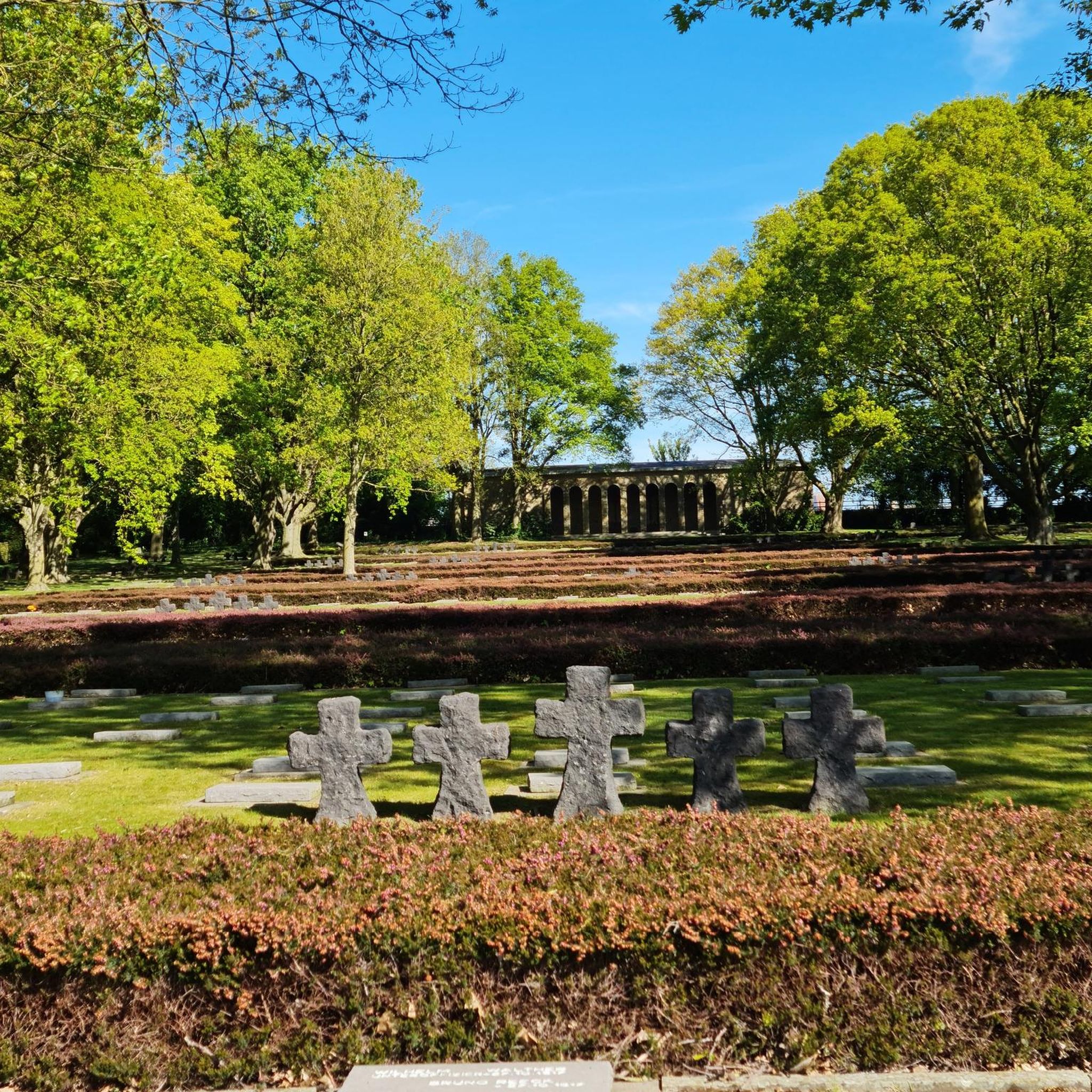
The entrance to Lisnamintry Rath (located on Ballygargan Road, near Portadown) is the gateway to one of the few officially protected archaeological monuments in this part of County Armagh. A rath is an early medieval fortified farmstead (c. 500–1000 AD) that formerly offered protection to families and their livestock against raiders. Not visible from the road.
1
0

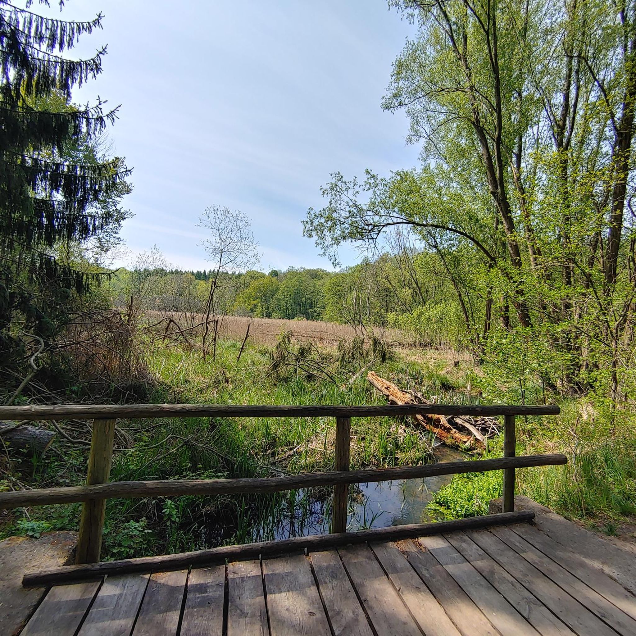
The path, which is part of National Cycle Route 9, offers a peaceful atmosphere that is ideal for relaxed bike rides - but walkers, joggers and dog owners also appreciate the route. The contrast between the quiet river and the partially flooded sections that can appear after heavy rain is particularly exciting. Sometimes the path leads directly to the water, and it almost seems as if the Lagan wants to reclaim a bit more space. The trees are reflected in the calm waters, which creates an almost mystical atmosphere in cloudy weather. Another highlight are the small, branching mountain bike trails that bring a bit of adventure to the tour. If you want a change and don't just want to follow the river, these trails offer a welcome change.
1
0

The Castle has over 100 acres of ornamental lawns, peaceful woodlands and picturesque glens to discover. Dogs are not permitted within the gardens and café unless they are trained assistance dogs.
0
0
The Perfectly kept motte and bailie is placed in a bend of the Lagan River with extensive views along the valley. It is the best preserved and most impressive example in Ulster of an Anglo-Norman motte and bailey castle.
0
0
From the late Iron Age to early Christian times, the island's occupants built circular structures with earth banks or ditches. These were sometimes topped with wooden palisades and wooden framed buildings. As the dwellings were not durable, sometimes referred to as as Fairy Forts ( also known as Lios or Raths from the Irish, referring to an earthen mound ) are the remains of stone circles, ringforts, hillforts, or other circular prehistoric dwellings in Ireland.
2
0
One of the most popular outdoor spots in the province. The Towpath is part of the Ulster Way. You can walk, run or cycle completely traffic free from the Castlereagh hills to Lisburn.
1
0
Great Climb and worth it. Divis and the Black Mountain are the highest points boasting views across the north. Divis or Dubhais meaning ‘black ridge’ refers to the dark basalt bedrock. The Mountains rest in the heart of the Belfast Hills and provide a backdrop to the cities landscape. A mosaic of grassland and heathland bog, they are home to a host of wildlife and archaeological remains. Divis stands at 478 metres (1,562ft) and Black Mountain at 390 metres (1,275ft)
0
0
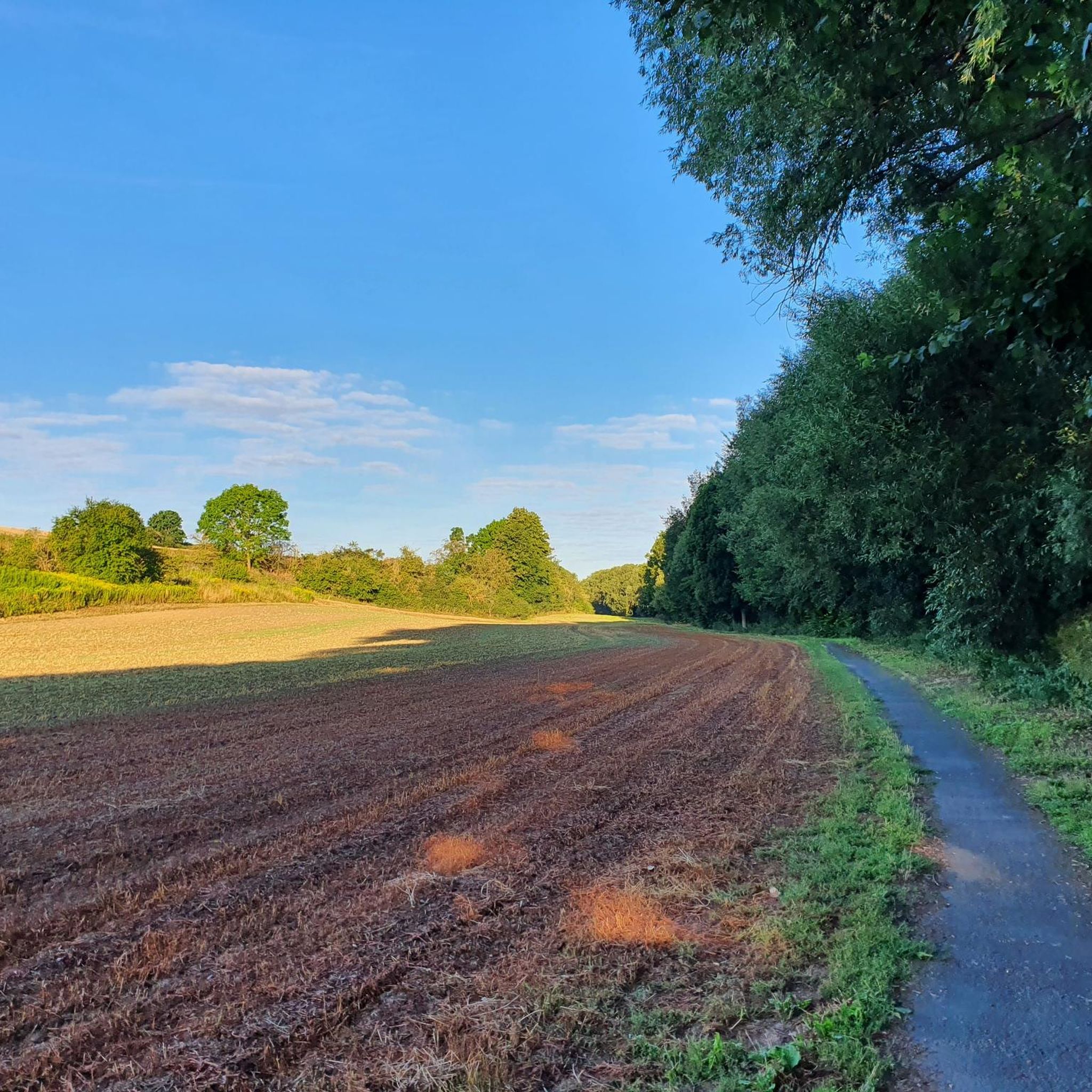
This meandering bicycle path glides on through from the station, you get a chance to catch a moment, get into your rhythm by the waters edge.
1
0
Frequently Asked Questions
How many touring cycling routes are available around Ballyellough?
There are over 75 touring cycling routes around Ballyellough, offering a diverse range of experiences. These include 28 easy routes, 40 moderate routes, and 9 challenging options, catering to various skill levels and preferences.
What kind of terrain can I expect on touring cycling routes near Ballyellough?
Touring cyclists around Ballyellough can expect varied terrain. Routes often traverse coastal areas with dramatic headlands, serene lough shores, and picturesque glens. While some paths are relatively flat, others include gentle hills and ascents, particularly towards areas like Divis Mountain, offering elevations up to 500 meters on the Antrim Plateau.
Are there any circular touring cycling routes around Ballyellough?
Yes, several circular touring cycling routes are available. For example, the Loughshore trail route 2 — Moira loop offers an easy 28.4 km ride around the Lough Neagh shoreline. A longer, moderate option is the Moira to Lisnamintry loop, covering over 50 km.
What are some popular landmarks or natural features to see while cycling near Ballyellough?
The region around Ballyellough is rich in natural beauty and landmarks. You can cycle along the Lagan Towpath, enjoy views from Divis and the Black Mountain, or visit the Sir Thomas and Lady Dixon Park Rose Garden and Stone Monoliths. Further afield, the iconic Giant's Causeway and the scenic Glens of Antrim are notable attractions.
Are there family-friendly touring cycling routes near Ballyellough?
Yes, there are family-friendly options. Easy routes like the Loughshore trail route 2 — Moira loop are suitable for families, offering relatively flat terrain and scenic views. The Lagan Towpath also provides a mostly traffic-free experience, ideal for a relaxed family outing.
What do other touring cyclists say about the routes around Ballyellough?
The touring cycling routes around Ballyellough are highly regarded by the komoot community, with an average rating of 4.6 stars from over 50 reviews. Cyclists often praise the diverse landscapes, from tranquil lough shores to challenging mountain ascents, and the well-maintained paths that make for an enjoyable experience.
Can I find routes that combine urban greenways with natural landscapes?
Absolutely. The Lagan Towpath and Divis Mountain Loop is a prime example, leading through urban greenways before ascending towards the natural beauty of Divis Mountain. This route offers a blend of accessible paths and scenic climbs.
Are there any routes that explore the Lough Neagh area?
Many routes in the region focus on Lough Neagh, the largest freshwater lake in the British Isles. The Loughshore Trail: Moira Loop is a popular moderate option that provides an extended exploration of the lough's varied rural landscapes and tranquil shores.
What is the best time of year for touring cycling in Ballyellough?
The best time for touring cycling in Ballyellough is generally during the spring and summer months (April to September) when the weather is milder and daylight hours are longer. This allows for comfortable rides along the coast and through the glens, with clearer views of the stunning Antrim landscape.
Are there opportunities to see wildlife on the touring cycling routes?
Yes, especially on routes around Lough Neagh and through forest parks. Areas like Randalstown Forest, on the northern shore of Lough Neagh, are nature reserves where you can observe various bird species and other wildlife. Glenariff Forest Park is also known for its rich bryophyte community and diverse flora and fauna.
Where can I find information about nature reserves in County Antrim?
For detailed information on nature reserves in County Antrim, including those that might be accessible or visible from cycling routes, you can consult resources like the Department of Agriculture, Environment and Rural Affairs (DAERA) website: daera-ni.gov.uk.
Are there any routes that offer views of the Scottish Islands?
Yes, the Antrim Coast, particularly around areas like Torr Head, offers spectacular views across the North Channel to the Scottish Islands and the Mull of Kintyre on clear days. Cycling routes along this dramatic coastline provide opportunities to experience these panoramic vistas.
Most popular attractions around Ballyellough

Get inspired with the komoot mobile app


Explore more
Browse the best Cycling routes in other regions.
