The best running trails around Marktbergel
4.0
(16)
174
runners
28
runs
Jogging around Marktbergel offers a variety of routes through the region's diverse landscape. The area features gentle rolling hills, open fields, and some wooded sections, providing varied terrain for runners. Elevation changes are generally moderate, with some routes including more significant climbs. This makes Marktbergel suitable for different fitness levels, from leisurely jogs to more challenging runs.
Best jogging routes around Marktbergel
- The most popular jogging route is Former Riders' Lodge – Ottenhofen-Bergel station loop from Marktbergel, a 5.1…
Last updated: August 11, 2026
4.0
(1)
23
runners
Moderate run. Good fitness required. Mostly paved surfaces. Suitable for all skill levels.
3.4
(5)
13
runners
7.19km
00:46
100m
100m
Moderate run. Good fitness required. Mostly paved surfaces. Suitable for all skill levels.

Sign up for free
5.0
(1)
7
runners
Hard run. Very good fitness required. Mostly paved surfaces. Suitable for all skill levels.
7
runners
Moderate run. Good fitness required. Mostly paved surfaces. Suitable for all skill levels.
5.0
(1)
7
runners
17.9km
01:58
170m
170m
Hard run. Very good fitness required. Mostly paved surfaces. Suitable for all skill levels.
Get access to more routes and recommendations from other explorers.
Sign up for free
Already have an account?
Our route recommendations are based on thousands of hikes, rides, and runs completed by other people on komoot.
Start today with a free account
Your next adventure awaits.
Login or Signup
Popular around Marktbergel

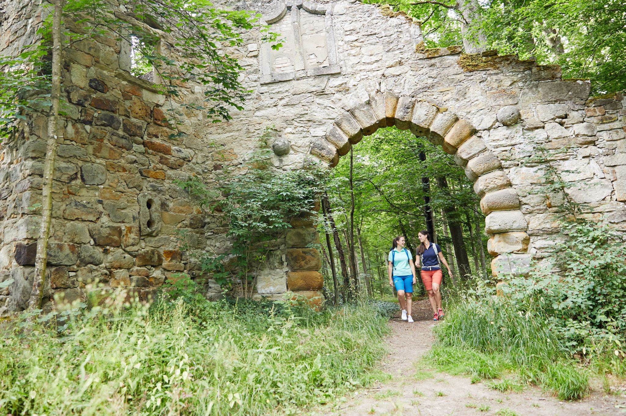
Nature, the outdoors and adventure – hiking through the VGN's nature parks
Full of views and fun – VGN leisure tips 2022
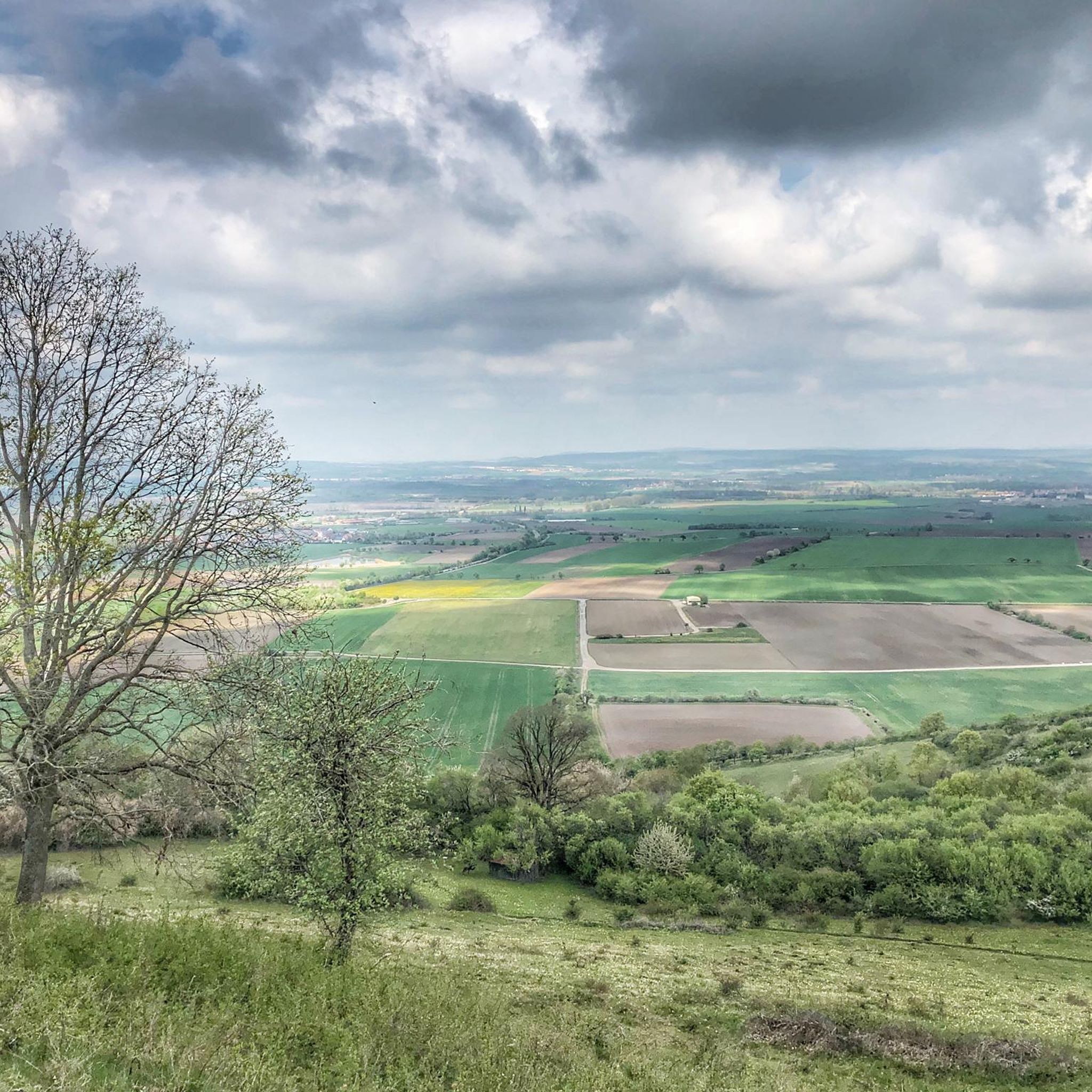
Explore southern Germany – hiking and biking with the VGN
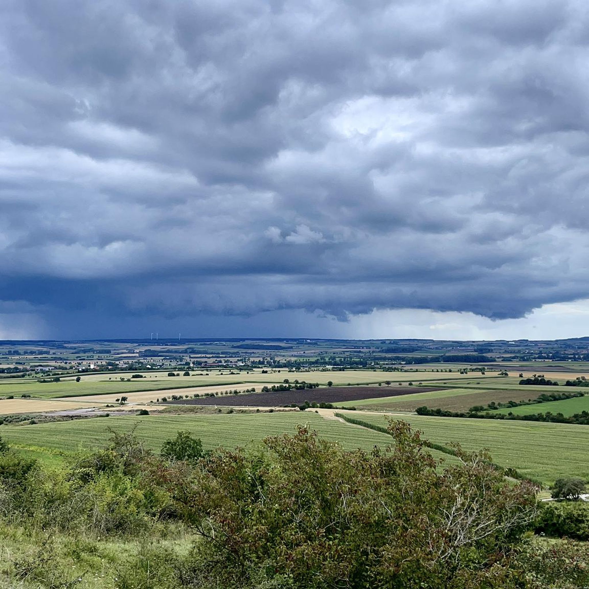
Hiking around Marktbergel
Cycling around Marktbergel
MTB Trails around Marktbergel
Road Cycling Routes around Marktbergel
Gravel biking around Marktbergel
Other adventures around Marktbergel

Tips from the Community

Rest bench with a beautiful view over the Obernzenner See
1
0

The place is not called "Spinnerei" (perhaps more accurate) but Spinnerin The "new Spinnerin" is a well-intentioned but not really successful replacement for the original "Spinnerin". It is too openly accessible and in no way compatible with the mystical tradition. It merely informs about an "incident". It is by no means a monument. "Marter am Teufelsgraben". The so-called Spinnerin was erected as a sign of atonement (also called "zu den drei Steinen" or formerly "Bettelmannsmärterlein"). This location is on the hiking trail from Oberdachstetten to Westheim (formerly also a fork in the road to Wessachhof). According to legend, the maiden Apollonia Hufnagel was going from Anfelden to Westheim to the spinning room. There, among other things, they spoke of the infamous Teufelsgraben in the forest between Anfelden and Westheim, where it was eerie. The girl declared that she was not afraid of the devil either and wanted to spin at the Teufelsgraben even at midnight. Apollonia really did that. The next day she was found dead with her neck twisted.
0
0

Great rest bench with a magnificent view of Lake Obernzenner.
0
0

Between Hasenweg and Rehweg you will pass wild garlic, which smells wonderful in spring.
0
0
Former railway embankment for the rail connection of the munitions manufacturing plant
0
0

To ensure that our lake, which went into operation in 1980, can continue to reliably fulfill its function as a flood retention basin, it was inspected and renovated by the Ansbach Water Management Office in 2024/2025, and sediment was removed in a joint effort. The flood retention basin is scheduled to be put back into operation in mid-November 2025, so that the target water level should be reached again at the beginning of the 2026 bathing season.
0
0
The old "Spinnerin" is located about 500m south above the Westheimer Teufelsgraben.
0
0

Frequently Asked Questions
How many running routes are available around Marktbergel?
There are over 30 running routes around Marktbergel, offering a wide range of options for different fitness levels and preferences.
What kind of terrain can I expect on running routes in Marktbergel?
The running routes in Marktbergel feature diverse terrain, including gentle rolling hills, open fields, and wooded sections. Elevation changes are generally moderate, though some routes include more significant climbs, providing variety for all runners.
Are there running routes suitable for beginners in Marktbergel?
Yes, Marktbergel offers several routes suitable for beginners. There are 5 easy routes available, perfect for a leisurely jog. One option is the Running loop from Marktbergel, which is 3.4 miles (5.4 km) long with minimal elevation gain.
Are there any circular running routes in Marktbergel?
Most of the running routes around Marktbergel are circular, allowing you to start and finish at the same point. For example, the Ottenhofen-Bergel station – Former Riders' Lodge loop from Ottenhofen-Bergel is a popular 6.8 miles (10.9 km) loop.
What are some shorter running routes in Marktbergel?
For a shorter run, consider the Running loop from Marktbergel. This route is 3.4 miles (5.4 km) long and takes approximately 36 minutes to complete, making it ideal for a quick workout.
Are there any scenic viewpoints along the running trails in Marktbergel?
Yes, many routes offer scenic views over the surrounding landscape. You can find beautiful vistas, especially on routes that include some elevation. The region is known for its rolling hills and open fields, providing picturesque backdrops for your run. Consider exploring routes near the Summit cross on the Petersberg for elevated perspectives.
Can I bring my dog on the running trails in Marktbergel?
Many trails in the Marktbergel area are suitable for running with dogs, especially those through open fields and wooded sections. It's always a good idea to keep your dog on a leash and be mindful of local regulations, especially in nature protection areas or near agricultural land.
What natural attractions can I see near the running routes?
While running around Marktbergel, you can discover several natural attractions. These include the Source of the Altmühl (Hornauer Pond) and the Hirschteich (Altmühl spring). The area also features the Gräfweiher, offering peaceful spots along your run.
What do other runners enjoy most about jogging in Marktbergel?
The running routes in Marktbergel are highly rated by the komoot community, with an average score of 3.9 stars from over 10 reviews. Runners often praise the varied terrain, from open fields to wooded sections, and the moderate elevation changes that make the area suitable for different fitness levels.
Are there any routes with significant elevation gain for a more challenging run?
Yes, for a more challenging run with significant elevation gain, consider routes like the Ottenhofen-Bergel station – View of Marktbergel loop from Ottenhofen-Bergel. This 9.4 miles (15.1 km) trail features substantial climbs and descents, offering a demanding workout.
Is public transport available to access running trails in Marktbergel?
While specific public transport details for each trailhead vary, the region around Marktbergel is generally accessible. Many routes start near villages or train stations, such as Ottenhofen-Bergel station, which can serve as a convenient starting point for several runs.
What is the best time of year for running in Marktbergel?
Spring and autumn are generally ideal for running in Marktbergel, offering pleasant temperatures and beautiful scenery as the landscape changes. Summer can also be great, especially in the mornings or evenings, while winter runs are possible, though some trails might be muddy or icy depending on conditions.
Most popular routes around Marktbergel
Most popular attractions around Marktbergel

Get inspired with the komoot mobile app


Explore more
Browse the best Running Trails & Routes in other regions.
