The best running trails around Baiersdorf
4.4
(58)
1,215
runners
69
runs
Jogging routes around Baiersdorf benefit from the town's location between Erlangen and Forchheim, offering diverse natural features. The region is characterized by the flat, accessible paths along the Regnitz river and the more challenging, scenic terrain of the Walberla plateau. Extensive networks of forests, including parts of the Franconian Switzerland-Veldensteiner Forst Nature Park, provide varied running environments. These landscapes offer a mix of riverside routes, forested trails, and gentle hills suitable for different running preferences.
Best jogging routes around Baiersdorf
…Last updated: August 20, 2026
4.7
(7)
113
runners
Moderate run. Good fitness required. Mostly paved surfaces. Suitable for all skill levels.
4.0
(2)
83
runners
Hard run. Very good fitness required. Mostly paved surfaces. Suitable for all skill levels.

Sign up for free
61
runners
Moderate run. Good fitness required. Mostly paved surfaces. Suitable for all skill levels.
5.0
(3)
62
runners
Moderate run. Good fitness required. Mostly paved surfaces. Suitable for all skill levels.
70
runners
5.19km
00:32
10m
10m
Moderate run. Good fitness required. Mostly paved surfaces. Suitable for all skill levels.
Get access to more routes and recommendations from other explorers.
Sign up for free
Already have an account?
Our route recommendations are based on thousands of hikes, rides, and runs completed by other people on komoot.
Start today with a free account
Your next adventure awaits.
Login or Signup
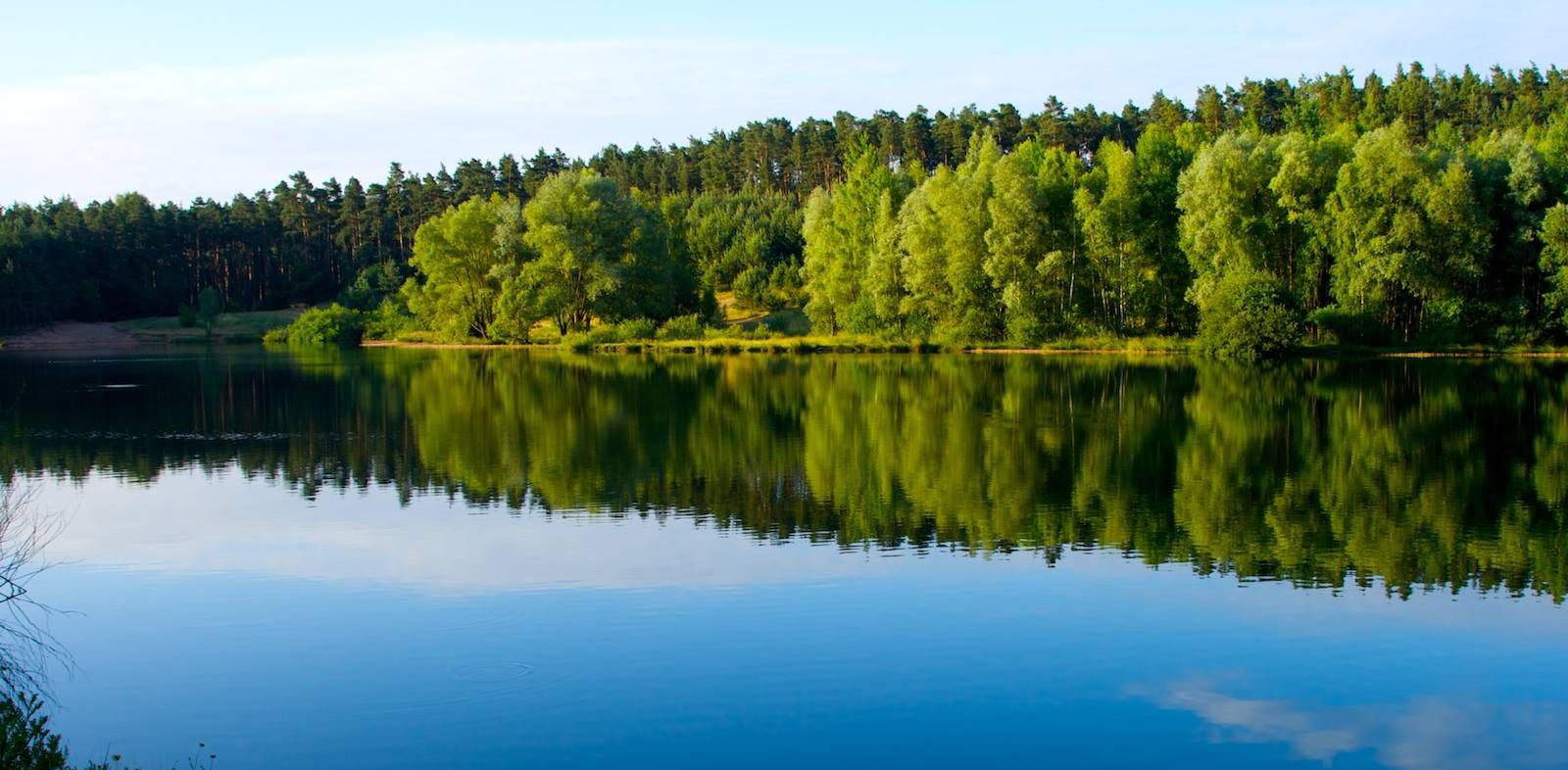
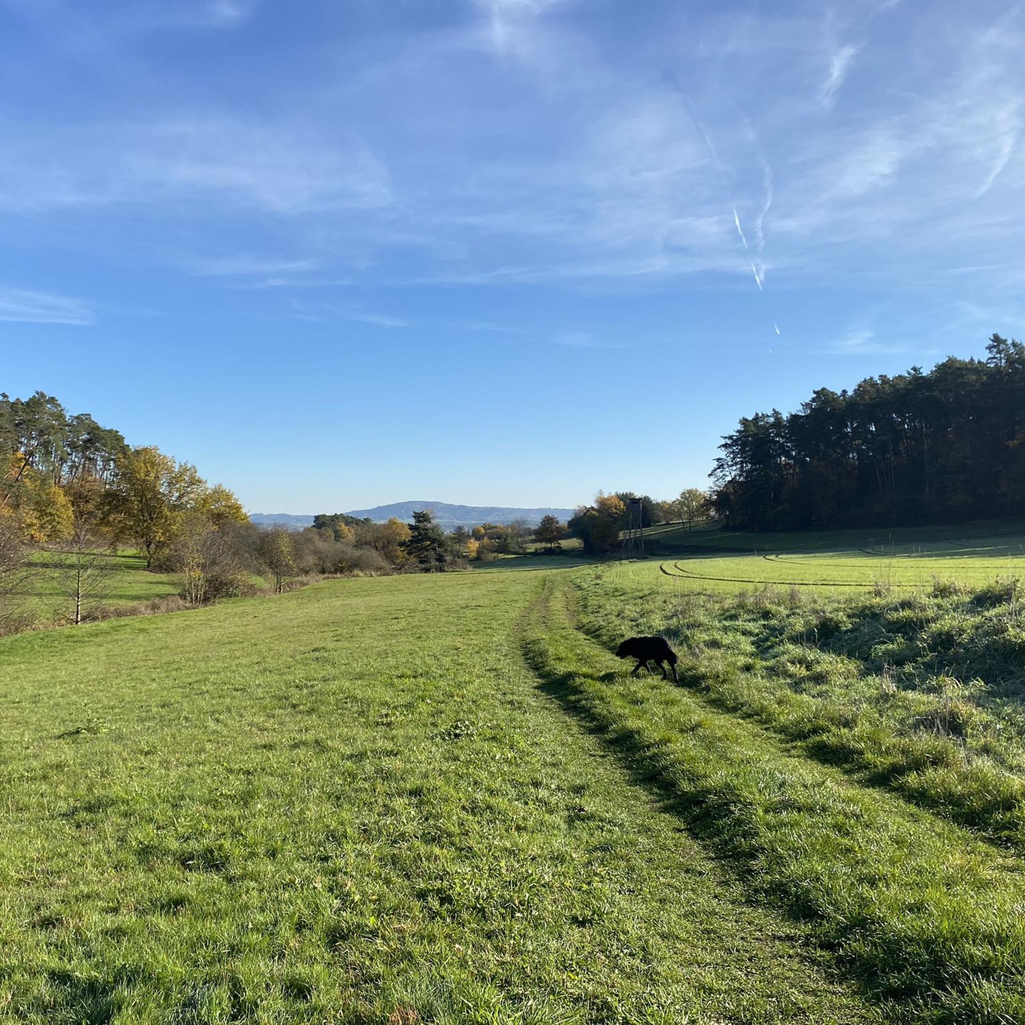
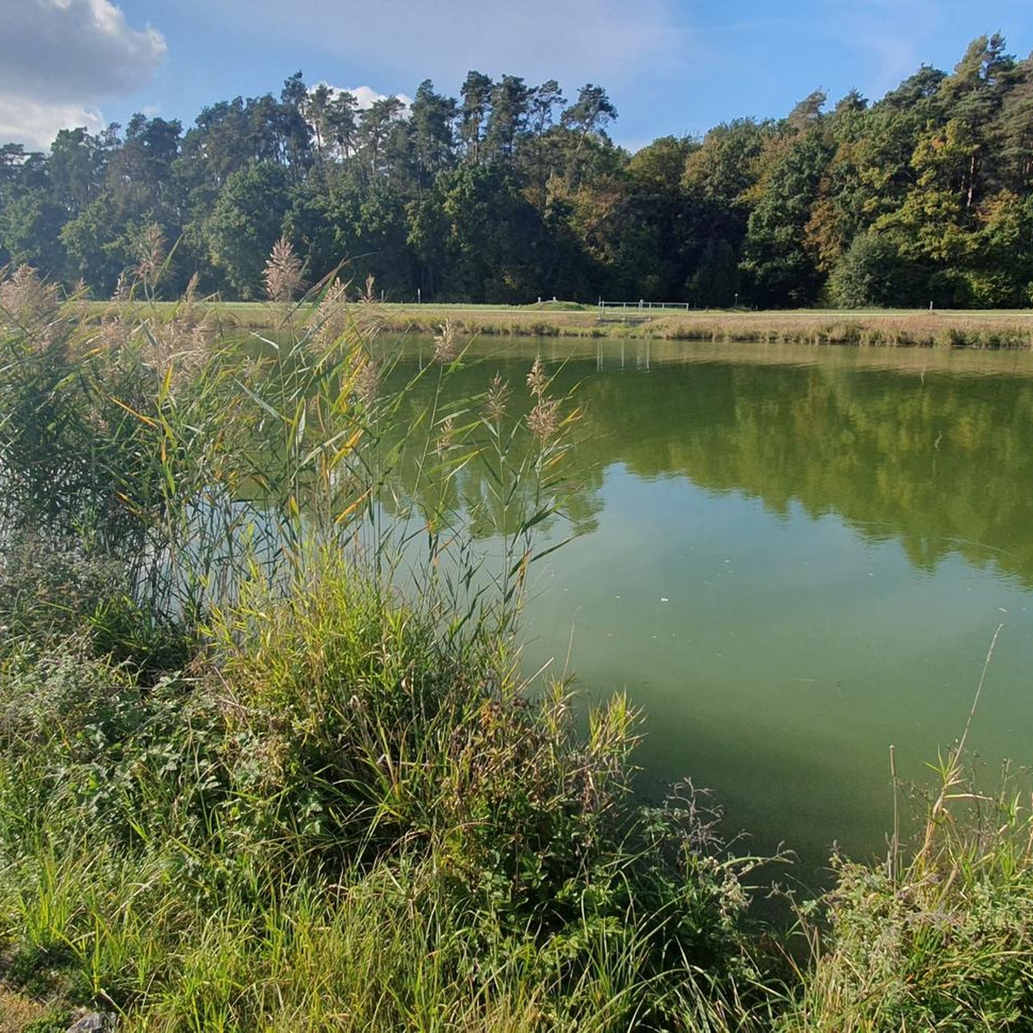
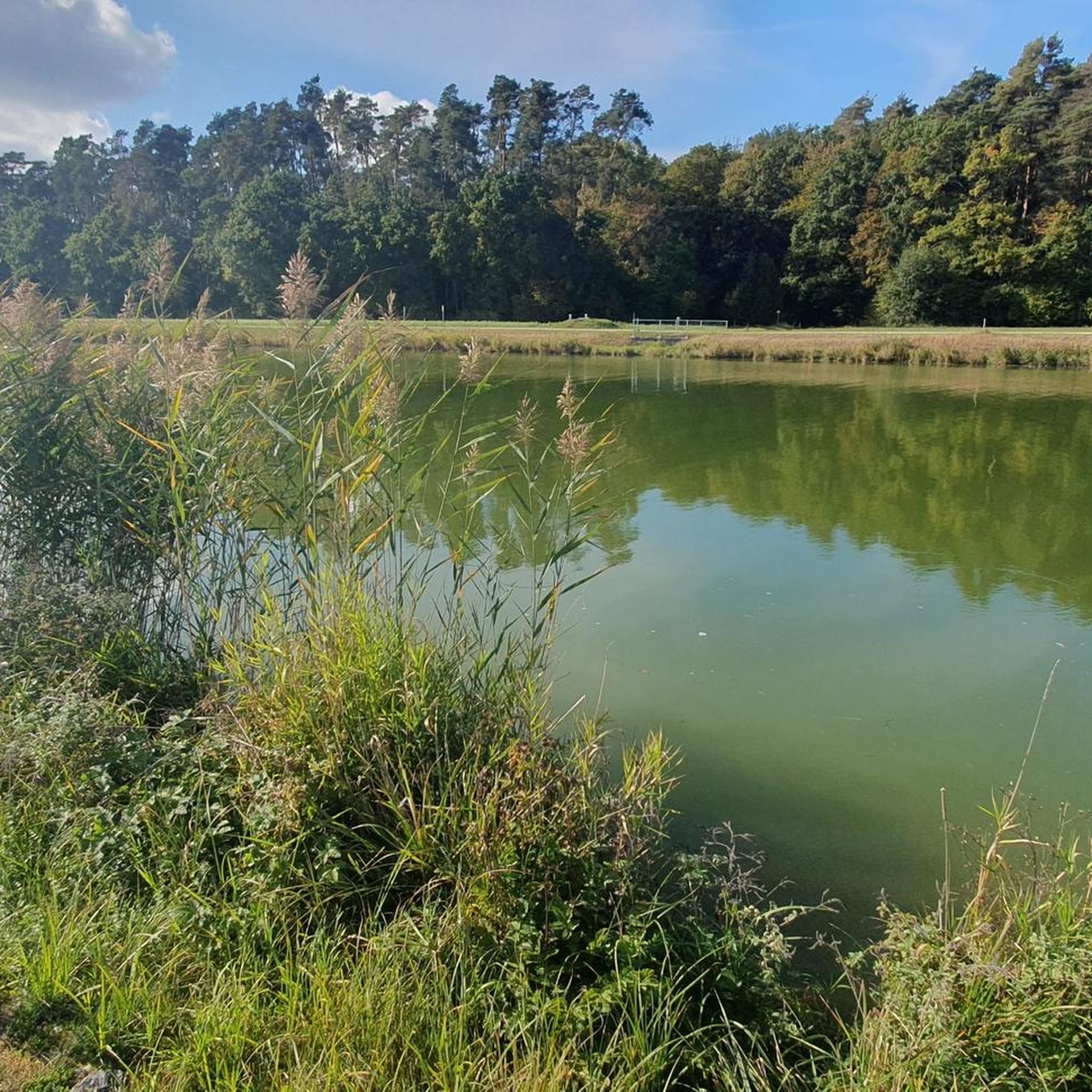
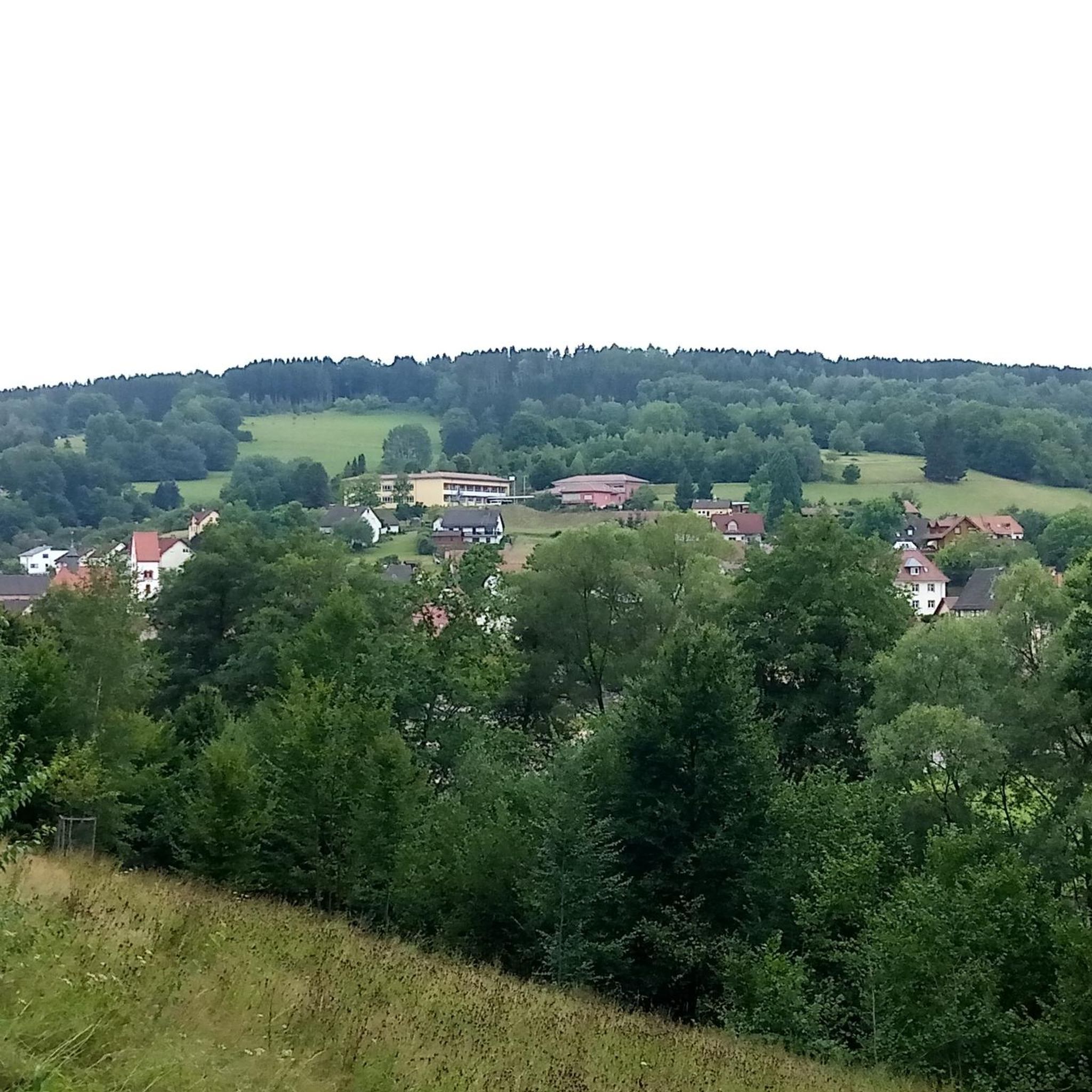
Other adventures around Baiersdorf

Tips from the Community

The Lila Brücke in Forchheim, often called "Lila Steg", is a 117-meter-long cable-stayed bridge built in 2002 for pedestrians and cyclists, connecting the Burk district with the grammar schools and the sports island via the Main-Danube Canal.
1
0
The Lila Brücke in Forchheim, often called "Lila Steg", is a cable-stayed bridge built in 2002 for pedestrians and cyclists, connecting the district of Burk with the grammar schools and the sports island across the Main-Donau Canal. Crosses the Main-Donau Canal between Burk and the school center. Structure: 117 meter long cable-stayed construction
1
0

Apparently they are only there in the winter months or in the evening - as often as I have driven past, there have never been any.
0
0

Excellent views both upstream and downstream. You can also enjoy watching the activity in the boat harbor. The statues of the Virgin Mary and St. John Nepomuk (?) on the bridge are definitely worth a second look.
3
0

The information panel describes the historic waterwheels on the Regnitz River near Baiersdorf. These wheels are a unique cultural monument in the region, once used to irrigate the surrounding meadows. Background Information Purpose: For centuries, the waterwheels were used to pump warm, bacteria-rich surface water from the Regnitz River onto the sandy soils of the irrigated meadows. History: In the 18th and 19th centuries, over 200 of these wheels operated between Schwabach and Forchheim. Today, only a few surviving examples can be seen near Möhrendorf. Operation: According to the "Baiersdorf Water Ordinance" of 1693, the wheels may only operate from May 1st to September 30th of each year. They are erected at the beginning of the season and dismantled again at the end of the summer. Cultural Monument: The remaining Möhrendorf waterwheels are recognized as intangible cultural heritage and are maintained by associations and dedicated farmers. ... (Source via AI mode)
1
0

A good view of the Regnitz here.
6
0

Beautiful bridge. Offers a fantastic view of the harbor. Heading out of town, you pass the Marter (martyr's church). Before the cycle path turns back to the Regnitz River, you pass the Siechenhaus Chapel.
10
0
Frequently Asked Questions
What types of terrain can I expect on running routes around Baiersdorf?
The Baiersdorf region offers a diverse range of running terrains. You'll find flat, easily accessible paths along the Regnitz river, ideal for relaxed jogs. For those seeking more challenging runs with elevation and scenic views, the Walberla (Ehrenbürg) plateau provides hilly terrain. Additionally, the extensive networks of forests, including parts of the Franconian Switzerland-Veldensteiner Forst Nature Park, offer varied forest paths suitable for trail running.
How many running routes are available in the Baiersdorf area?
There are over 65 running routes available around Baiersdorf, catering to various fitness levels and preferences. These include a mix of easy, moderate, and difficult trails, ensuring there's something for every runner.
Are there any easy or beginner-friendly running routes in Baiersdorf?
Yes, Baiersdorf offers several easy running routes perfect for beginners or those looking for a relaxed jog. For example, the Regnitz – Ausee loop from Baiersdorf is a moderate 3.2-mile (5.2 km) path that follows the river and passes the Ausee, offering a pleasant and relatively flat experience.
What are some longer or more challenging running routes near Baiersdorf?
For runners seeking a greater challenge, the region provides longer and more demanding routes. A notable difficult option is the View of Burk Marina – Old Regnitz Bridge, Forchheim loop from Baiersdorf, which spans 12.7 miles (20.5 km) and follows the Regnitz river, offering expansive views towards Forchheim.
Are there any running routes suitable for families with children?
Many of the flatter paths along the Regnitz river and around the Baiersdorfer Weiher (Angersee) are suitable for families. These routes often have even surfaces and offer a pleasant environment for a family jog or walk, allowing everyone to enjoy the outdoors together.
Can I bring my dog on the running trails in Baiersdorf?
Generally, dogs are welcome on most running trails in the Baiersdorf region, especially on the extensive forest paths and riverside routes. However, it's always recommended to keep your dog on a leash, particularly in nature reserve areas like the Walberla plateau, to protect local wildlife and plants.
What natural features or landmarks can I see while running in Baiersdorf?
Running in Baiersdorf allows you to experience various natural features and landmarks. You can jog along the scenic Regnitz river, explore the unique rock formations and panoramic views of the Walberla (Ehrenbürg), or pass by the tranquil Baiersdorfer Weiher (Angersee). The Statue of the Virgin Mary – Chimera Sculpture loop from Baiersdorf also guides runners through local green spaces and past cultural landmarks.
Are there any waterfalls near the running routes in Baiersdorf?
Yes, the wider region around Baiersdorf features several beautiful waterfalls. You might consider exploring highlights such as the Moritzbach Waterfall and Tufa Terraces or the Regnitz Waterfall at Erlangen-Bruck. These can be incorporated into longer running adventures or visited as points of interest.
What do other runners enjoy most about the running routes in Baiersdorf?
The running routes in Baiersdorf are highly rated by the komoot community, with an average score of 4.6 stars from over 40 reviews. Runners often praise the variety of terrain, from the peaceful riverside paths to the challenging forest trails, and the beautiful natural scenery that makes each run enjoyable.
Are there circular running routes available in Baiersdorf?
Yes, many of the running routes in Baiersdorf are designed as loops, offering convenient circular paths. Examples include the Ausee – Regnitz River in Baiersdorf loop from Baiersdorf, which is a 4.5-mile (7.3 km) trail, and the Regnitz River in Baiersdorf – Ausee loop from Baiersdorf, a 4.3-mile (7.0 km) option, both perfect for a complete running experience without retracing your steps.
What is the best time of year to go running in Baiersdorf?
Baiersdorf offers excellent running conditions throughout much of the year. Spring and autumn provide pleasant temperatures and vibrant scenery, making them ideal. Summer is also great, especially for early morning or late evening runs along the shaded forest paths or riverside routes. Even in winter, many paths remain accessible for a refreshing run, though conditions may vary.
Are there running routes with good public transport access in Baiersdorf?
Baiersdorf is well-connected, and many running routes are accessible from the town center, which has public transport links. Routes along the Regnitz river, for instance, are often easily reachable, allowing you to start your run directly from a bus or train stop within or near Baiersdorf.
Are there options for parking near the running trails in Baiersdorf?
Yes, you'll find various parking options available near the trailheads and popular starting points for running routes in and around Baiersdorf. Many local recreation areas, such as the Baiersdorfer Weiher (Angersee), and forest entrances offer designated parking spaces for outdoor enthusiasts.
Most popular routes around Baiersdorf
Most popular attractions around Baiersdorf

Get inspired with the komoot mobile app


Explore more
Browse the best Running Trails & Routes in other regions.
