The best running trails around Rothenburg ob der Tauber
4.4
(53)
884
runners
96
runs
Jogging around Rothenburg ob der Tauber offers a blend of historical exploration and natural landscapes. The town is situated above the deep Tauber River valley, providing varied terrain with winding paths and elevation changes. Routes often lead through serene meadows and mixed forests, characteristic of the surrounding Frankenhöhe Nature Park. The region features medieval city walls and historic bridges, integrating cultural landmarks into the running experience.
Best jogging routes around Rothenburg ob der Tauber
- The most popular jogging route is The Tauber River loop from Rothenburg ob der Tauber, a 5.9 miles (9.5 km) trail that takes 1 hour 4 minutes to complete. This moderate route descends into the scenic Tauber River valley, passing by historic watermills.
- Another top favourite among local runners is Klingentor – The Tauber River loop from Rothenburg ob der Tauber, a moderate 5.3 miles (8.5 km) path. This route combines sections through the medieval town with paths along the Tauber River.
- Local runners also love the Tauber River – Klingentor loop from Rothenburg ob der Tauber, a 6.0 miles (9.7 km) trail leading through the Tauber River valley and past historic town gates, often completed in about 1 hour 3 minutes.
- Jogging around Rothenburg ob der Tauber is defined by the dramatic Tauber River valley, medieval city walls, and tranquil forests. The network offers options for easy, moderate, and challenging routes, catering to different ability levels.
- The routes in Rothenburg ob der Tauber are highly rated by the komoot community with an average score of 4.5 stars from more than 40 reviews. More than 800 runners have used komoot to explore Rothenburg ob der Tauber's varied terrain.
Last updated: October 18, 2026
4.5
(10)
101
runners
9.98km
01:08
150m
150m
Moderate run. Good fitness required. Mostly paved surfaces. Suitable for all skill levels.
3.8
(4)
43
runners
8.45km
00:55
150m
150m
Moderate run. Good fitness required. Mostly paved surfaces. Suitable for all skill levels.

4.8
(4)
29
runners
13.0km
01:27
160m
160m
Moderate run. Good fitness required. Mostly paved surfaces. Suitable for all skill levels.
4.5
(2)
19
runners
Moderate run. Good fitness required. Mostly paved surfaces. Suitable for all skill levels.
35
runners
13.0km
01:24
170m
170m
Moderate run. Good fitness required. Mostly paved surfaces. Suitable for all skill levels.
Get access to more routes and recommendations from other explorers.
Already have an account?
Our route recommendations are based on thousands of hikes, rides, and runs completed by other people on komoot.
Start today with a free account
Your next adventure awaits.
Popular around Rothenburg ob der Tauber

Main-Danube-Lake Constance Trail – Along iconic waters

Germany's Hohenlohe-Ostalb Cycle Route – From idyllic valleys to the Swabian Alb

The Romantic Road – To the Pearls of Southern Germany
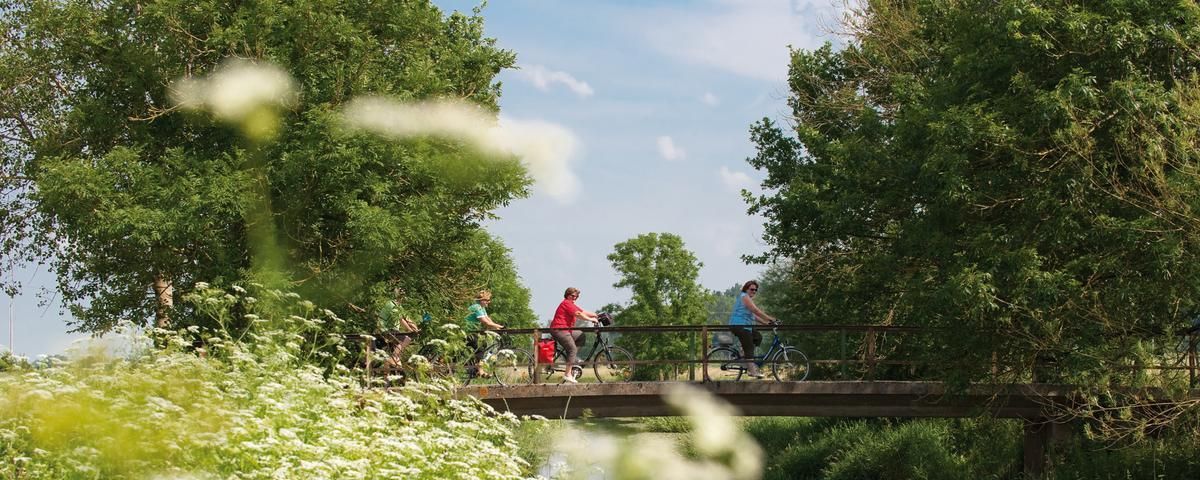
The most beautiful long-distance cycle paths in Franconia
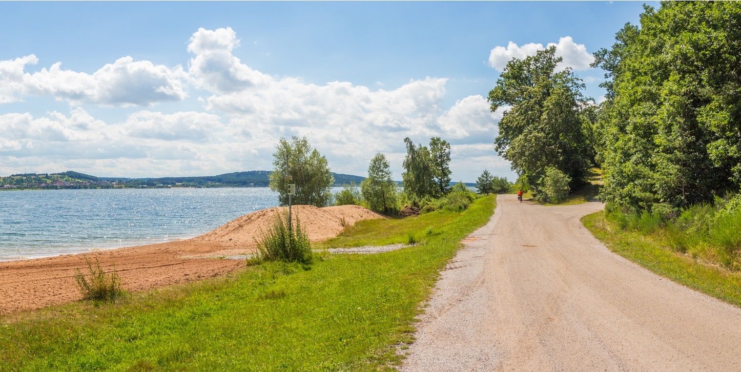
The Franconian Water Bike Path – 8 days of creeks, lakes & rivers
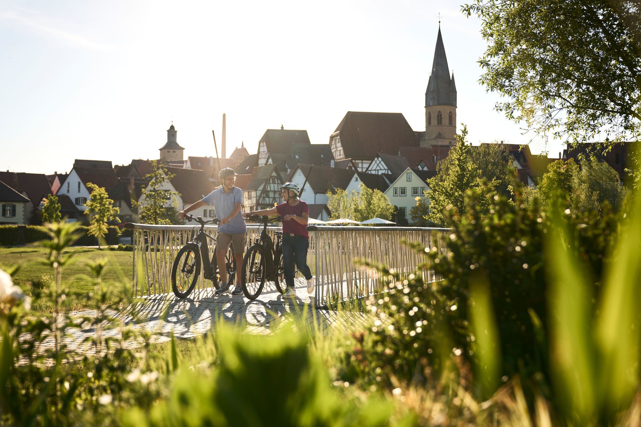
Half-timbered houses and superb cycling tours – the best of the South
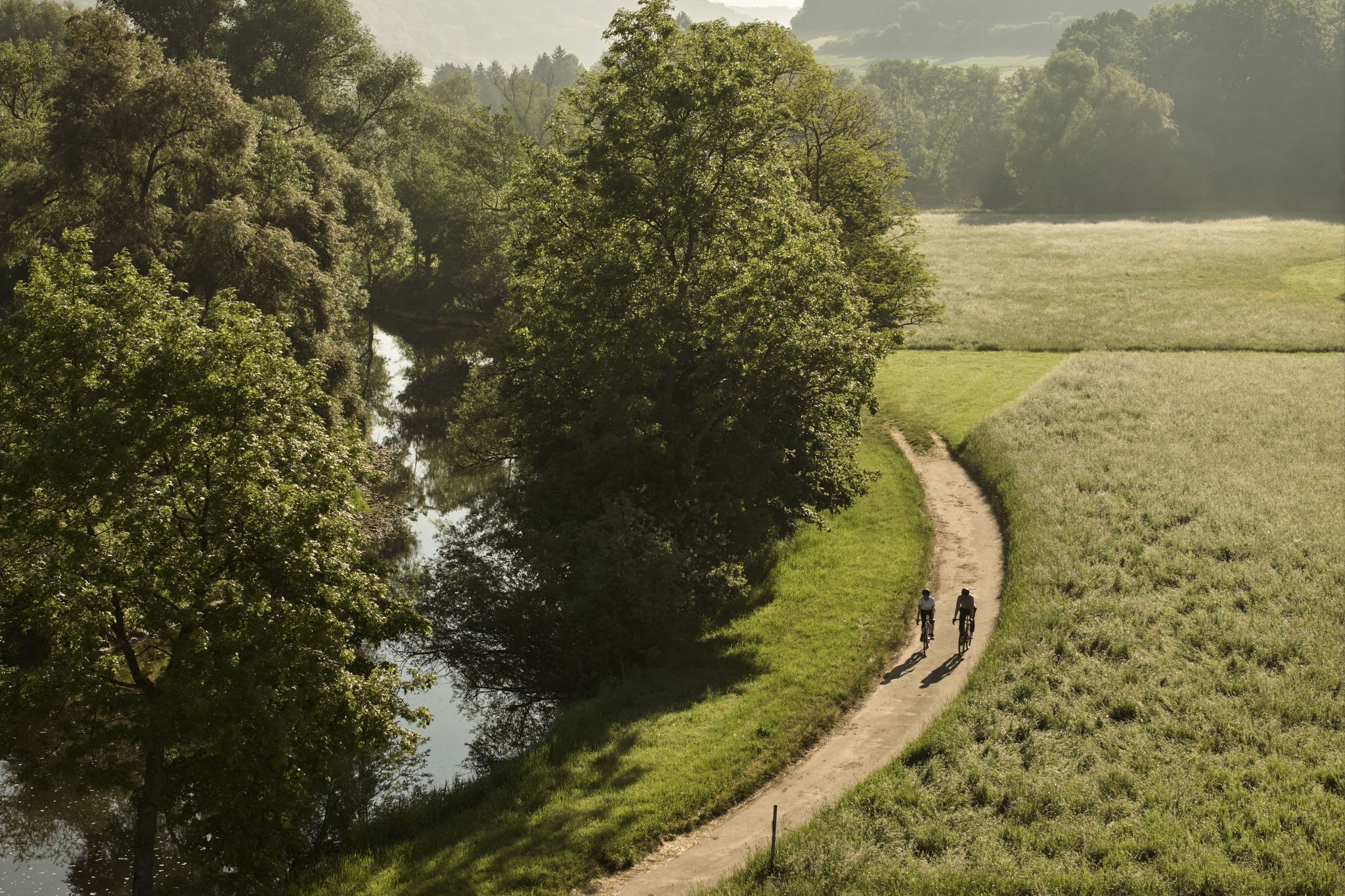
River delights & timber frames – riverside cycling in Süden ganz oben
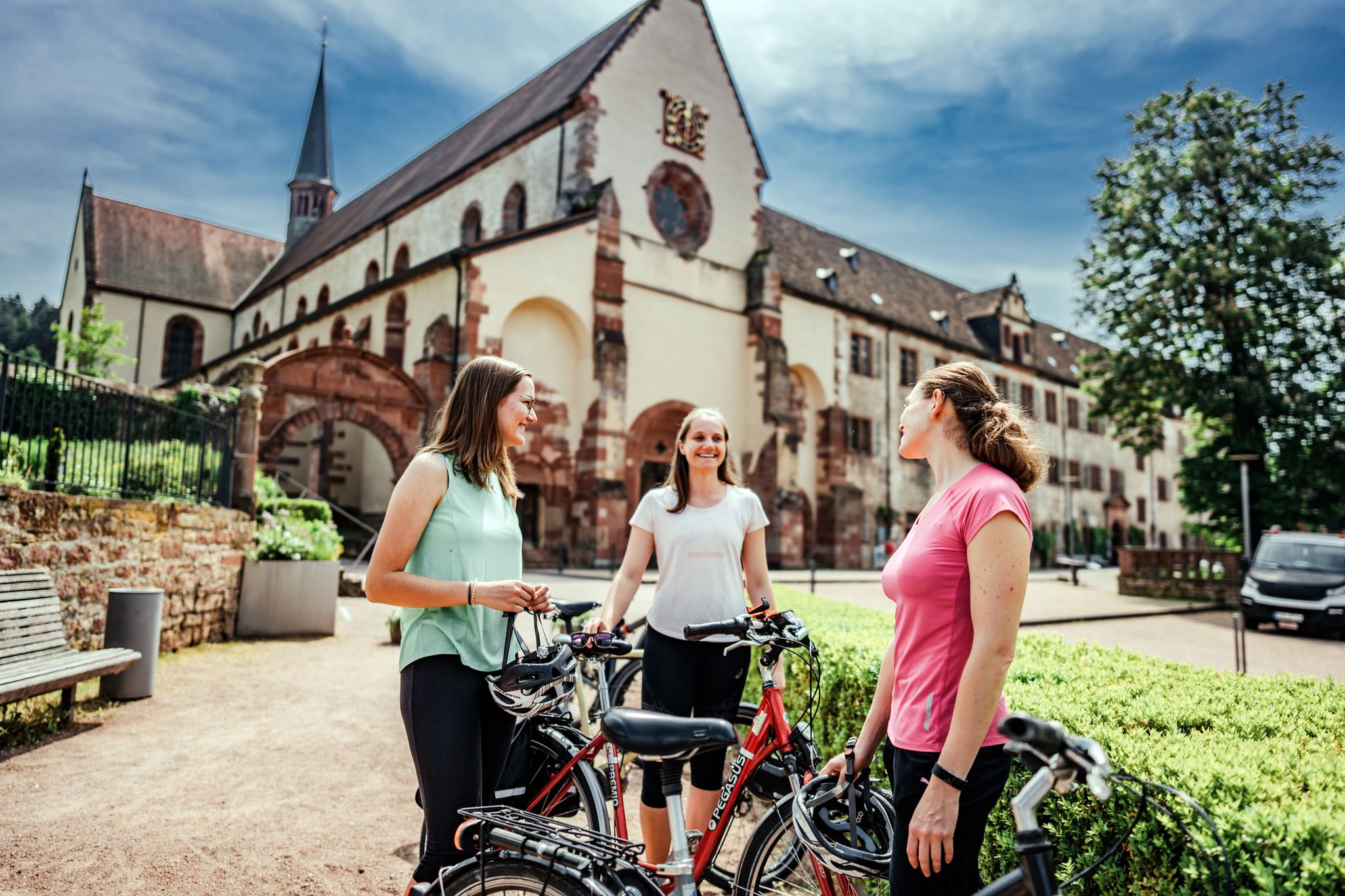
On the road – cycling Tours in the Lovely Tauber Valley
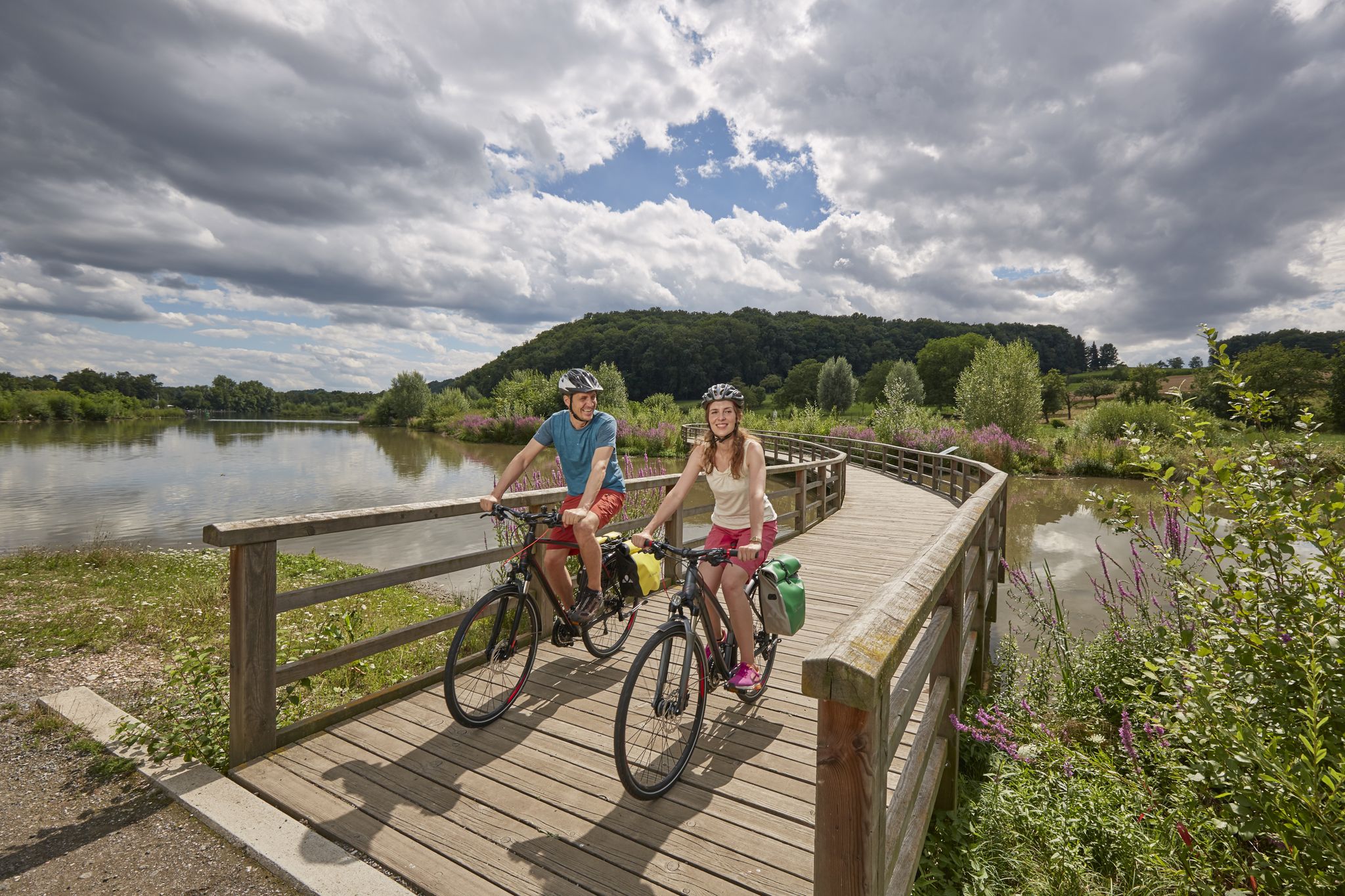
Long-distance cycle routes in Baden-Württemberg – endless rivers and lakes
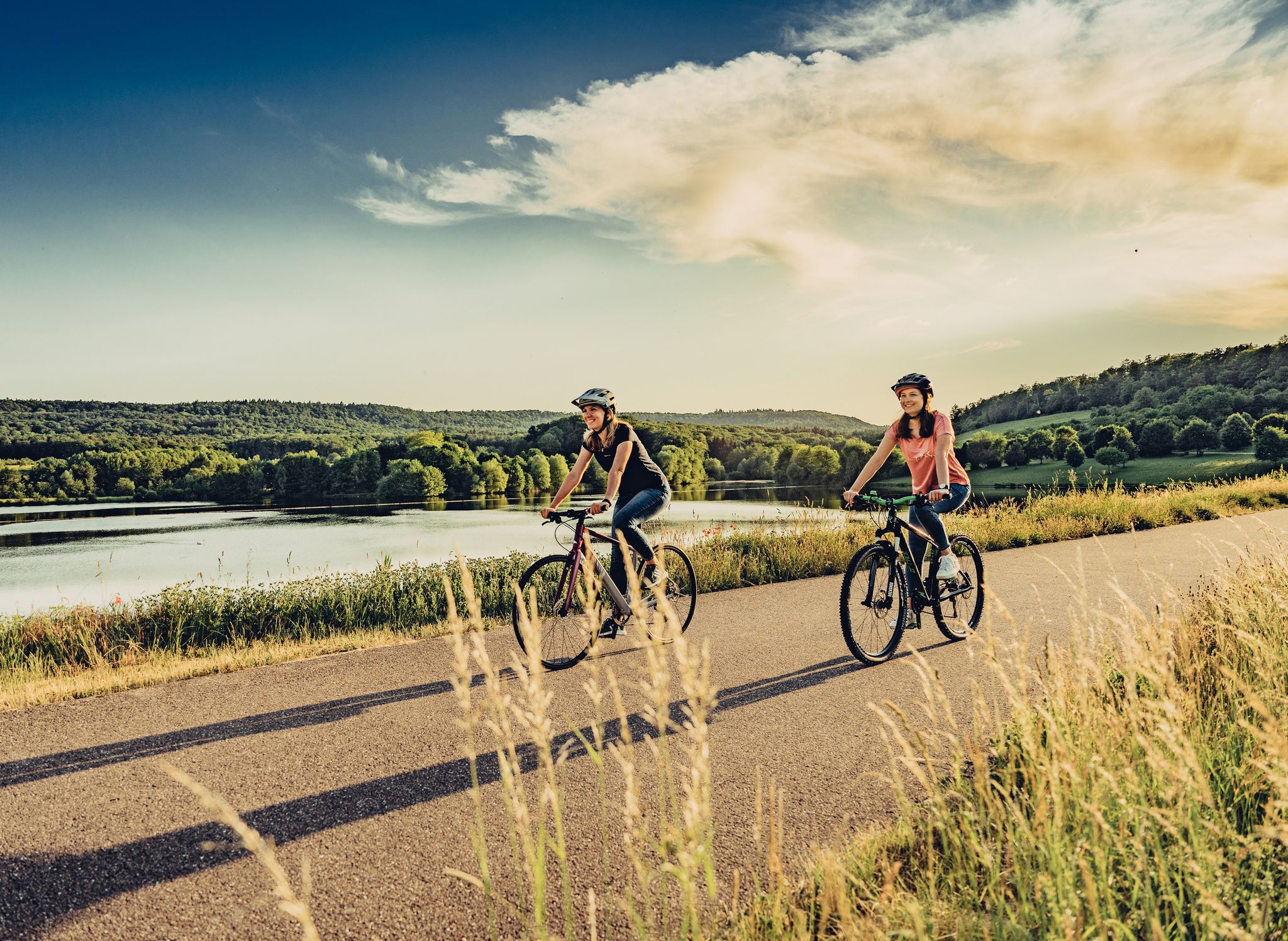
Beautiful day Tours along the Tauber, Kocher, Jagst and Neckar rivers
Other adventures around Rothenburg ob der Tauber


Tips from the Community

At the side entrance, next to the bronze city relief, Adam and other Old Testament figures are located next to the beautiful Eve above the portal.
0
0

The Klingentor is the northern access to the city and, together with the upstream defensive church of Sankt Wolfgang, forms the fortification of the Klingentor bastion.
0
0

ev. Church
0
1

Rothenburg is considered one of Germany's best-preserved medieval old towns, and the first glimpse of the half-timbered facades around the market square immediately shows you why. If you have some time, a walk along the completely preserved town wall is worthwhile. From above, you'll see the old town's roofscape from a perspective you won't soon forget. In the early morning, the city is still quiet and almost belongs to you alone.
2
0

The Klingentor (Klingen Gate) is the northern entrance to the old town and, together with the fortified church of St. Wolfgang, built into the outer defensive ring, forms the Klingentor Bastion. The Klingenturm (Klingen Tower), 37 meters high, was formerly integrated into the city's water supply. It housed a balancing reservoir into which water was pumped from the Bronnen Mill. This water supplied some of Rothenburg's fountains.
5
0

The Klingentor Bastion in Rothenburg ob der Tauber was built in the 14th century as part of the city's fortifications. It played an important role in the Thirty Years' War and offered protection from attackers. Today it is an impressive historical landmark that visitors can admire from the outside.
10
2
The Klingentor, also known as Klingenturm, is one of the medieval gates of the historic city. It was built in the 14th century and served as one of the main entrances to the fortified city walls.
11
2
This late Gothic fortified church was built between 1475 and 1493 and is part of the city's fortifications. It is also called the Shepherds' Church because it was built by the Brotherhood of Shepherds. The church has three notable altars, with the Marienaltar (Altar of the Virgin) being the oldest and dating to around 1480-90. The architectural design includes unique elements such as underground casemates and a battlement walkway that can be accessed from inside
10
2
Frequently Asked Questions
How many running routes are available in Rothenburg ob der Tauber?
There are over 100 running routes around Rothenburg ob der Tauber, catering to various fitness levels. You'll find a good mix of easy, moderate, and challenging trails to explore.
What kind of terrain can I expect on the jogging trails?
Jogging routes in Rothenburg ob der Tauber offer diverse terrain. You can expect winding paths through the scenic Tauber River valley, serene meadows, and mixed forests. Some routes also incorporate sections along the town's medieval city walls and cobblestone streets.
Are there any easy running routes for beginners or casual joggers?
Yes, there are 11 easy running routes available. These trails typically have less elevation gain and are suitable for beginners or those looking for a more relaxed run. While specific easy routes aren't highlighted here, komoot offers a selection to choose from.
What are some scenic viewpoints or landmarks I can see while running?
Many running routes offer stunning views. You can run along the medieval city walls for elevated perspectives of the old town and the Tauber Valley. The Tauber River valley itself is picturesque, featuring historic watermills and the impressive Double Bridge. The Castle Garden also provides superb vantage points overlooking the valley.
Are there any circular running routes in Rothenburg ob der Tauber?
Yes, many of the running routes are circular, allowing you to start and end in the same location. For example, the Miniature Rothenburg Garden – Klingentor loop from Rothenburg ob der Tauber is a moderate 12.9 km circular route that takes you through varied landscapes.
What do other runners think about the trails in Rothenburg ob der Tauber?
The running routes in Rothenburg ob der Tauber are highly rated by the komoot community, with an average score of 4.5 stars from over 40 reviews. More than 800 runners have used komoot to explore the area, often praising the blend of historical sights and natural beauty.
Are there any running routes that pass by lakes or water features?
While the primary water feature is the Tauber River, some routes might bring you close to smaller water bodies. For example, the nearby region features highlights like the Source of the Altmühl (Hornauer Pond) and the Large Lindleinsee, which could be incorporated into longer runs or explored separately.
Can I find routes that combine urban exploration with nature?
Absolutely. Rothenburg ob der Tauber is unique in that many routes seamlessly blend its medieval charm with natural landscapes. You can run through the historic old town's cobblestone lanes and then quickly transition to paths along the Tauber River or into surrounding forests, offering a diverse experience.
Are there any challenging running routes for experienced runners?
Yes, for experienced runners seeking a challenge, there are 16 difficult routes available. These trails typically feature significant elevation changes, especially when descending into and climbing out of the Tauber River valley, providing a good workout.
What is the typical duration for a running route in this area?
The duration varies depending on the route's length and your pace. Many popular moderate routes, such as the Klingentor – Stäffeleinsbrunnen loop from Rothenburg ob der Tauber (9.4 km), can be completed in just over an hour.
Are there routes suitable for running with dogs?
While specific dog-friendly routes aren't explicitly listed, the natural paths through the Tauber River valley, meadows, and forests are generally suitable for running with dogs, provided they are kept on a leash and local regulations are followed. Always be mindful of wildlife and other trail users.
What kind of natural features define the running experience in Rothenburg ob der Tauber?
The running experience is largely defined by the dramatic Tauber River valley, with its winding paths and picturesque scenery. You'll also encounter serene meadows and mixed forests, characteristic of the surrounding Frankenhöhe Nature Park, offering a refreshing natural environment.
Most popular routes around Rothenburg ob der Tauber
Most popular attractions around Rothenburg ob der Tauber

Get inspired with the komoot mobile app


Explore more
Browse the best Running Trails & Routes in other regions.
