The best mountain hikes around Hohenroth
3.0
(3)
11
hikers
4
hikes
Mountaineering routes around Hohenroth are situated within the Rhön UNESCO Biosphere Reserve, a low mountain range characterized by largely woodless volcanic mountains and scenic valleys. The region features idyllic forests and rolling hills, providing a diverse terrain for mountain hiking. While referred to as mountaineering, the activities primarily involve challenging mountain hikes and treks rather than technical climbing. The trails are generally well-marked and cater to various skill levels.
Best mountaineering routes around Hohenroth
- The most popular mountaineering route is…
Last updated: August 25, 2026
5.0
(2)
6
hikers
13.6km
04:12
490m
490m
Moderate mountaineering route. Good fitness required. Easily-accessible paths. Suitable for all skill levels.
2
hikers
Moderate mountaineering route. Good fitness required. Easily-accessible paths. Suitable for all skill levels.

Sign up for free
2
hikers
Moderate mountaineering route. Good fitness required. Easily-accessible paths. Suitable for all skill levels.
Our route recommendations are based on thousands of hikes, rides, and runs completed by other people on komoot.
Start today with a free account
Your next adventure awaits.
Login or Signup
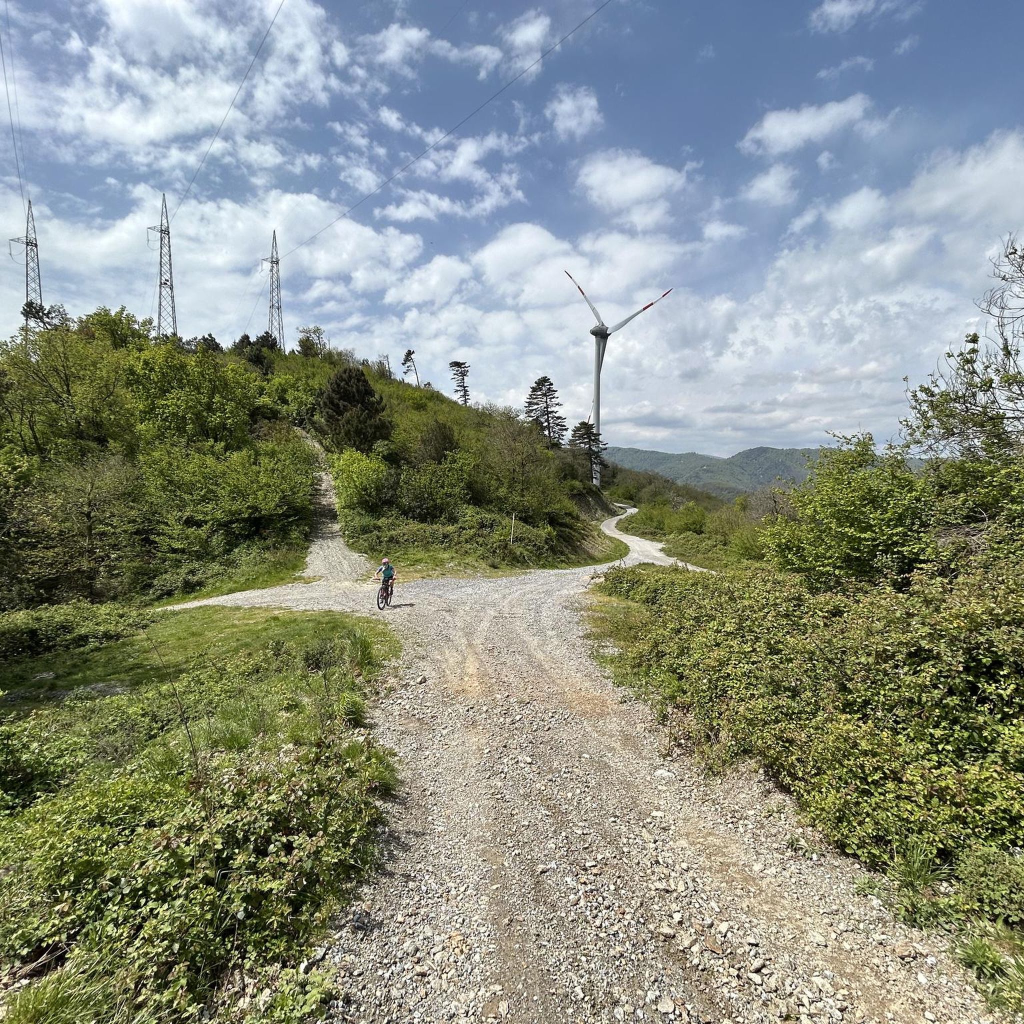
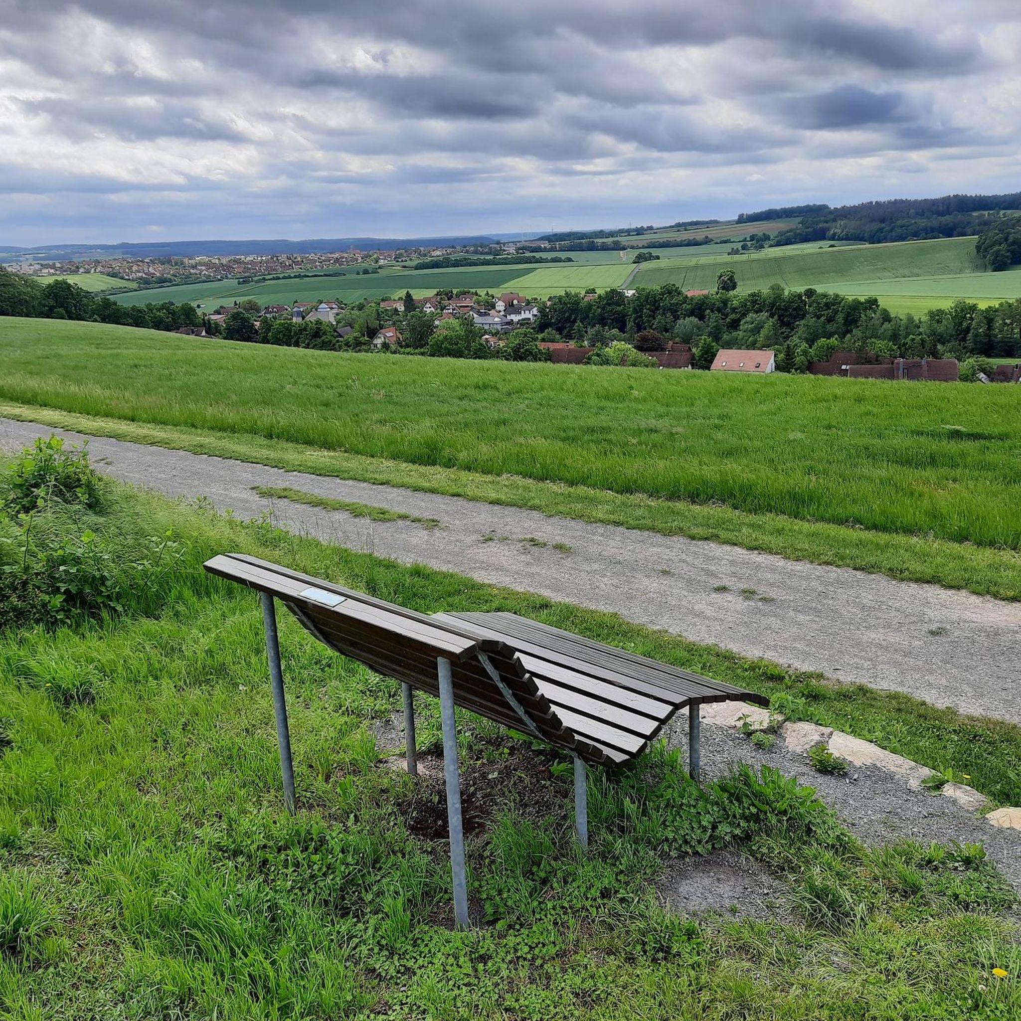
Tips from the Community

Candle chapel opposite the monastery church, in autumn / winter you can also warm up nicely here 😉
0
0

Great view from the Osterburg
0
0


You can stop by
3
0

Really nice and quiet in the morning. From 12pm onwards it is often very busy.
1
1

This small fountain is located on the way down from Kreuzberg to Neustädter Haus.
0
0

Frequently Asked Questions
What kind of terrain can I expect on mountaineering routes around Hohenroth?
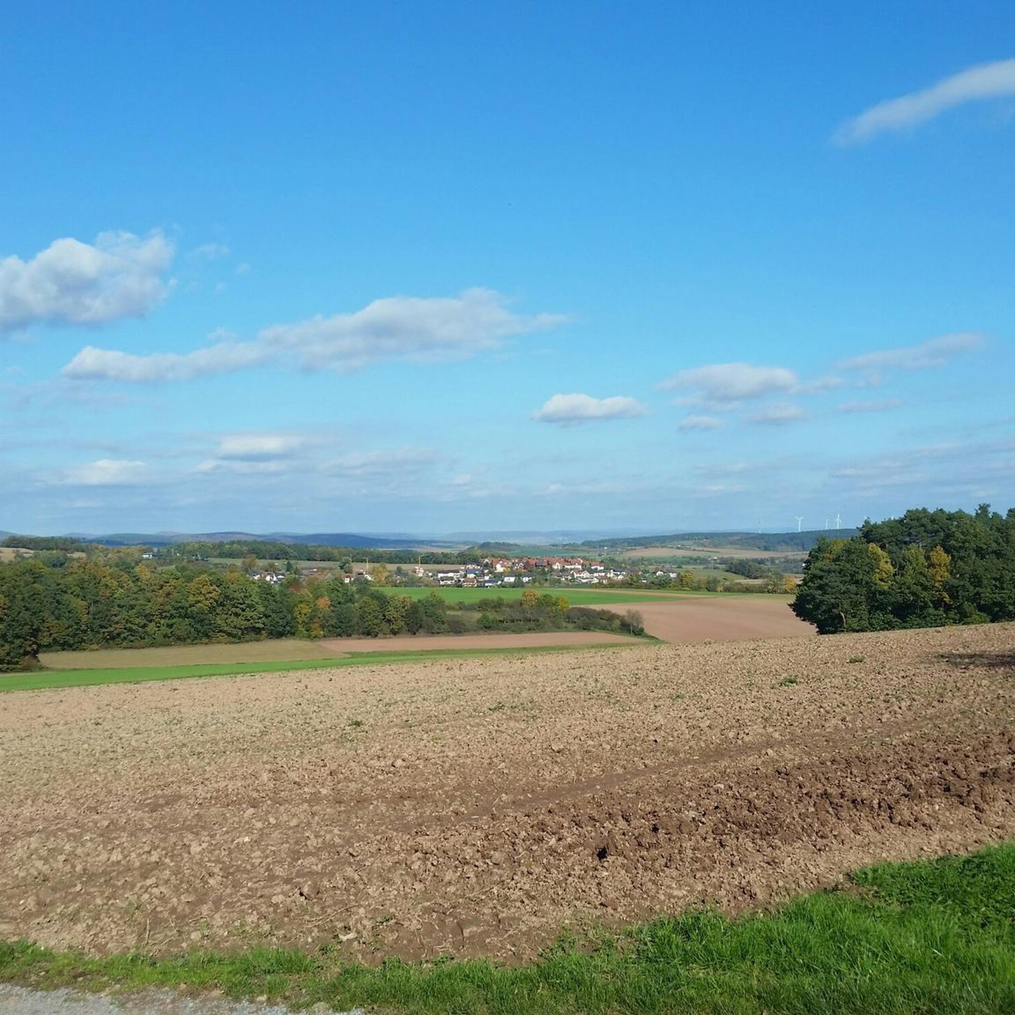
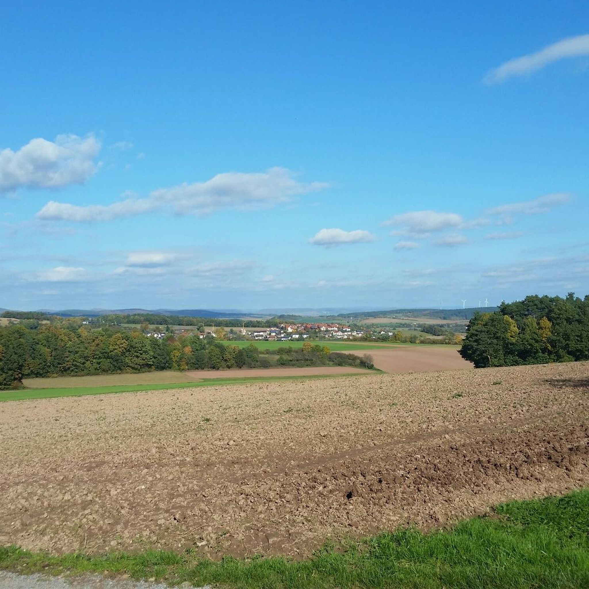
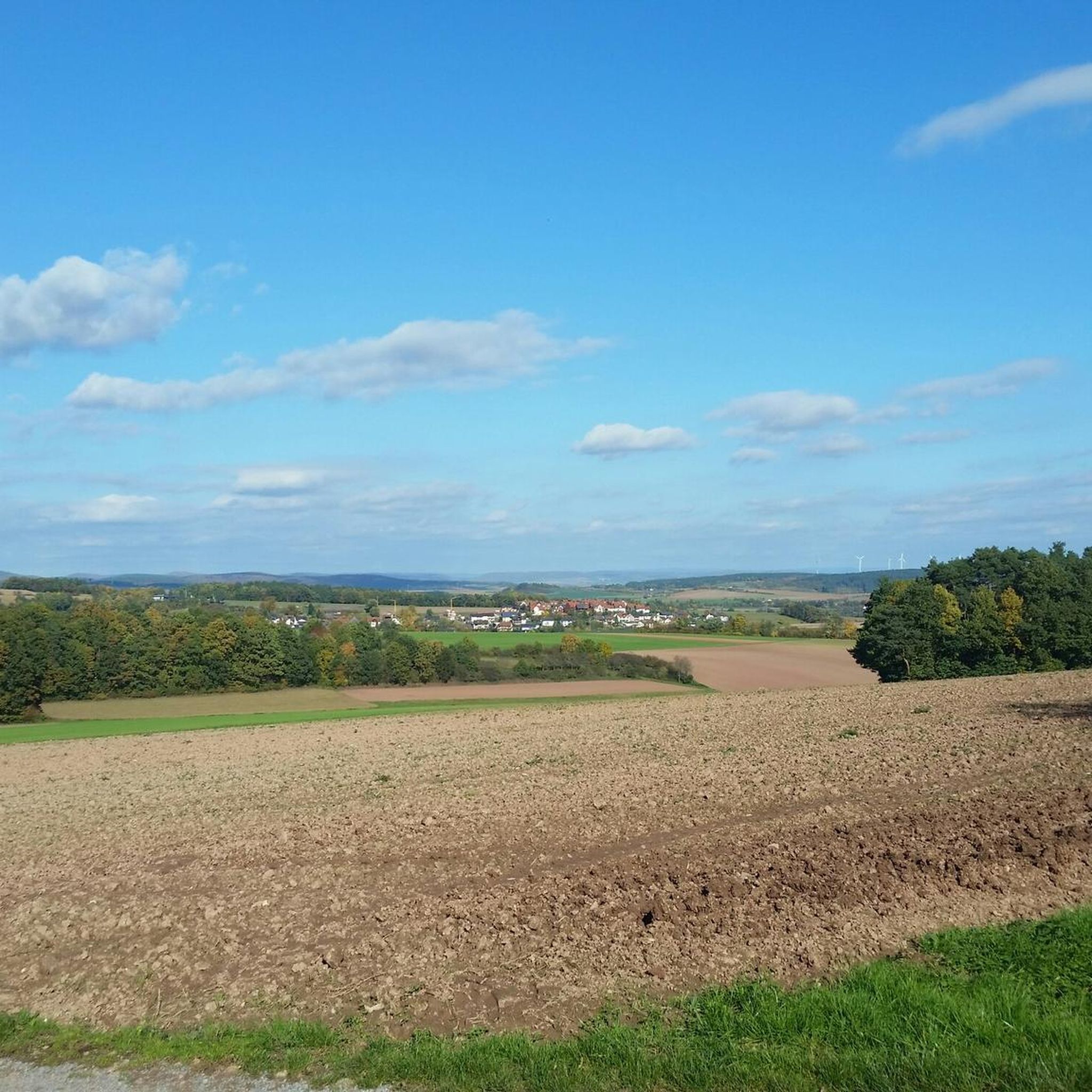
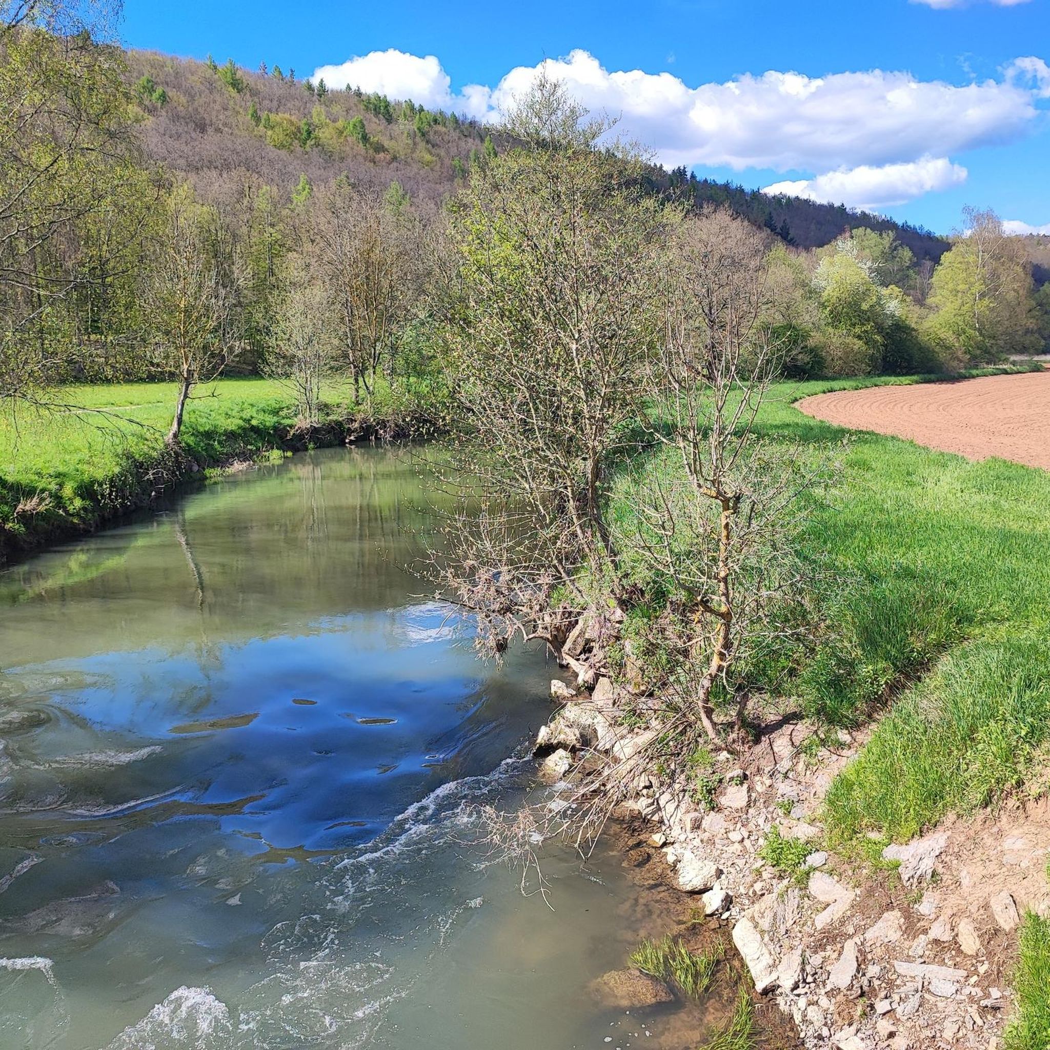
The routes around Hohenroth are primarily mountain hiking and challenging treks within the Rhön UNESCO Biosphere Reserve. You'll encounter a diverse landscape characterized by idyllic forests, rolling hills, and scenic valleys. The Rhön Mountains are known for their largely woodless volcanic peaks, offering unique panoramic views.
Are there any circular mountaineering routes in Hohenroth?
Yes, several routes are designed as loops. For example, the Marienbrünnlein – Kreuzberg Summit loop from Unterweißenbrunn is an 8.5-mile (13.6 km) circular trail that takes you to the summit of Kreuzberg. Another option is the View from the summit of Kreuzberg – Kreuzberg Monastery loop from Bischofsheim in der Rhön, a moderate 4.4-mile (7.1 km) path.
What is the best time of year for mountaineering in Hohenroth?
Spring and autumn are generally highlighted as the best seasons for mountain hiking in the Rhön region. During these times, nature displays vibrant colors with blooming flowers or colorful foliage, making for particularly scenic treks. While winter offers opportunities for activities like skiing, the primary hiking season is spring through autumn.
Are there any family-friendly hiking options in the Hohenroth area?
While the routes listed here are moderate mountain hikes, the broader Rhön region offers family-friendly options. The Sinngrund Adventure Trail, for instance, is a child-friendly route along the Sinn River with adventure playgrounds and nature trails. For a more sensory experience, the Hohenrother Waldpfad (Forest Path) is a 1.5 km educational trail designed for all ages.
What are some notable landmarks or attractions I can see along the routes?
Many routes lead to or pass by the famous Kreuzberg, often called the 'sacred mountain of the Franconians.' Just below its summit, you can visit the historic Kreuzberg monastery. Some routes also pass by historical sites such as the Osterburg castle ruins. The summit of Kreuzberg itself offers expansive views, including the radar station at the Wasserkuppe.
What is the difficulty level of mountaineering routes in Hohenroth?
All the mountaineering routes highlighted in this guide are rated as moderate. This means they involve challenging mountain hikes and treks, often with significant elevation gain, but generally do not require technical climbing skills. They are suitable for those with a good level of fitness and some hiking experience.
Are there any routes that offer particularly good views?
Absolutely. The ascent to Kreuzberg is renowned for its panoramic vistas. Routes like the View from the summit of Kreuzberg – Kreuzberg Monastery loop from Bischofsheim in der Rhön specifically highlight the prominent views from the Kreuzberg summit, allowing you to see the surrounding Rhön countryside.
Can I find places to eat or drink near the mountaineering trails?
Yes, particularly near the Kreuzberg. The famous Kreuzberg monastery, located just below the summit, is known for its beer, which was historically brewed on-site by monks. This provides a convenient stop for refreshments after your hike. The nearby towns also offer various cafes, pubs, and accommodation options.
What do other mountaineers say about the routes in Hohenroth?
The routes in Hohenroth are generally well-regarded by the komoot community, with an average rating of 3.0 stars. Mountaineers often appreciate the unique volcanic landscape of the Rhön Mountains, the idyllic forests, and the scenic valleys that define the area's diverse terrain.
Are there any other interesting natural features or attractions nearby?
Beyond the mountains, the region boasts several beautiful lakes. You could explore highlights such as Burgwallbach Lake or Hohenrother Lake. The Rhön UNESCO Biosphere Reserve itself is a significant natural feature, known for its unique low mountain range characteristics.
How long do the mountaineering routes typically take to complete?
The duration varies depending on the route and your pace. For example, the Marienbrünnlein – Kreuzberg Summit loop from Unterweißenbrunn is estimated to take around 4 hours and 12 minutes, while the Osterburg castle ruins – Kreuzberg Monastery loop from Bischofsheim in der Rhön typically takes about 3 hours and 38 minutes.
Are there any routes that pass by historical ruins?
Yes, the Osterburg castle ruins – Kreuzberg Monastery loop from Bischofsheim in der Rhön is a notable example. This 6.9-mile (11.1 km) trail leads through forested areas and past the historical Osterburg castle ruins, offering a blend of nature and history.
Most popular routes around Hohenroth
Most popular attractions around Hohenroth

Get inspired with the komoot mobile app


Explore more
Browse the best Mountain Hikes & Routes in other regions.
