The best mountain hikes around Windberg
4.6
(6)
37
hikers
14
hikes
Mountaineering routes around Windberg are situated within the mountains of Landkreis Straubing-Bogen. The region features varied terrain, including forested slopes and elevated sections. These routes provide diverse experiences for outdoor enthusiasts exploring the area's natural landscape.
Best mountaineering routes around Windberg
- The most popular mountaineering route is Hirschenstein–Schuhfleck Trail – Hirschenstein loop from Grandsberg, a 5.2 miles (8.4 km) trail that takes 2 hours 50 minutes to complete. This moderate route offers a circular journey through the local mountain…
Last updated: August 15, 2026
7
hikers
8.36km
02:50
310m
310m
Moderate mountaineering route. Good fitness required. Mostly accessible paths. Sure-footedness required.
4.0
(2)
4
hikers
13.6km
03:50
280m
280m
Moderate mountaineering route. Good fitness required. Easily-accessible paths. Suitable for all skill levels.

Sign up for free
4.5
(2)
4
hikers
11.7km
04:12
660m
660m
Moderate mountaineering route. Good fitness required. Mostly accessible paths. Sure-footedness required.
5.0
(1)
6
hikers
9.33km
03:02
330m
330m
Hard mountaineering route. Good fitness required. Sure-footedness, sturdy shoes and alpine experience required.
2
hikers
7.11km
02:25
350m
350m
Moderate mountaineering route. Good fitness required. Easily-accessible paths. Suitable for all skill levels.
Get access to more routes and recommendations from other explorers.
Sign up for free
Already have an account?
Our route recommendations are based on thousands of hikes, rides, and runs completed by other people on komoot.
Start today with a free account
Your next adventure awaits.
Login or Signup
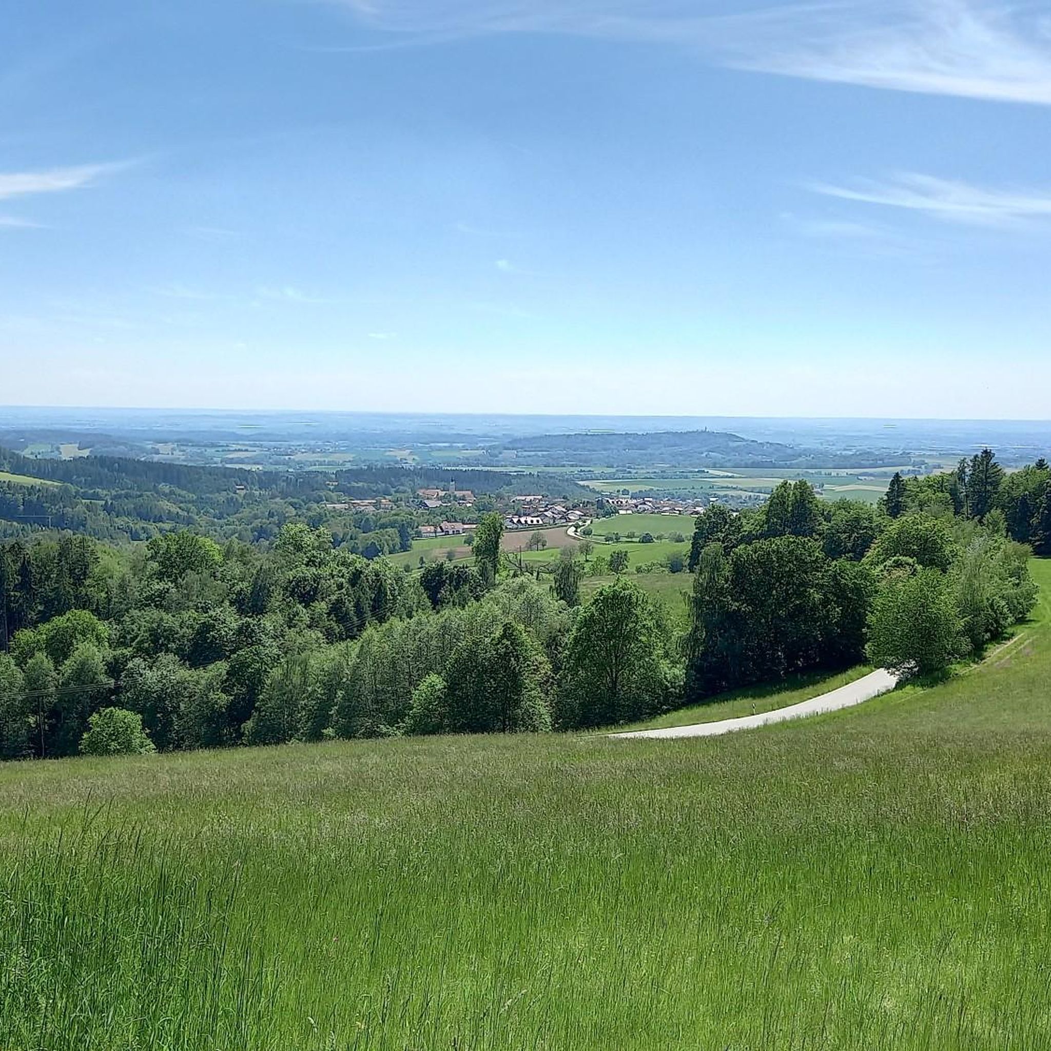
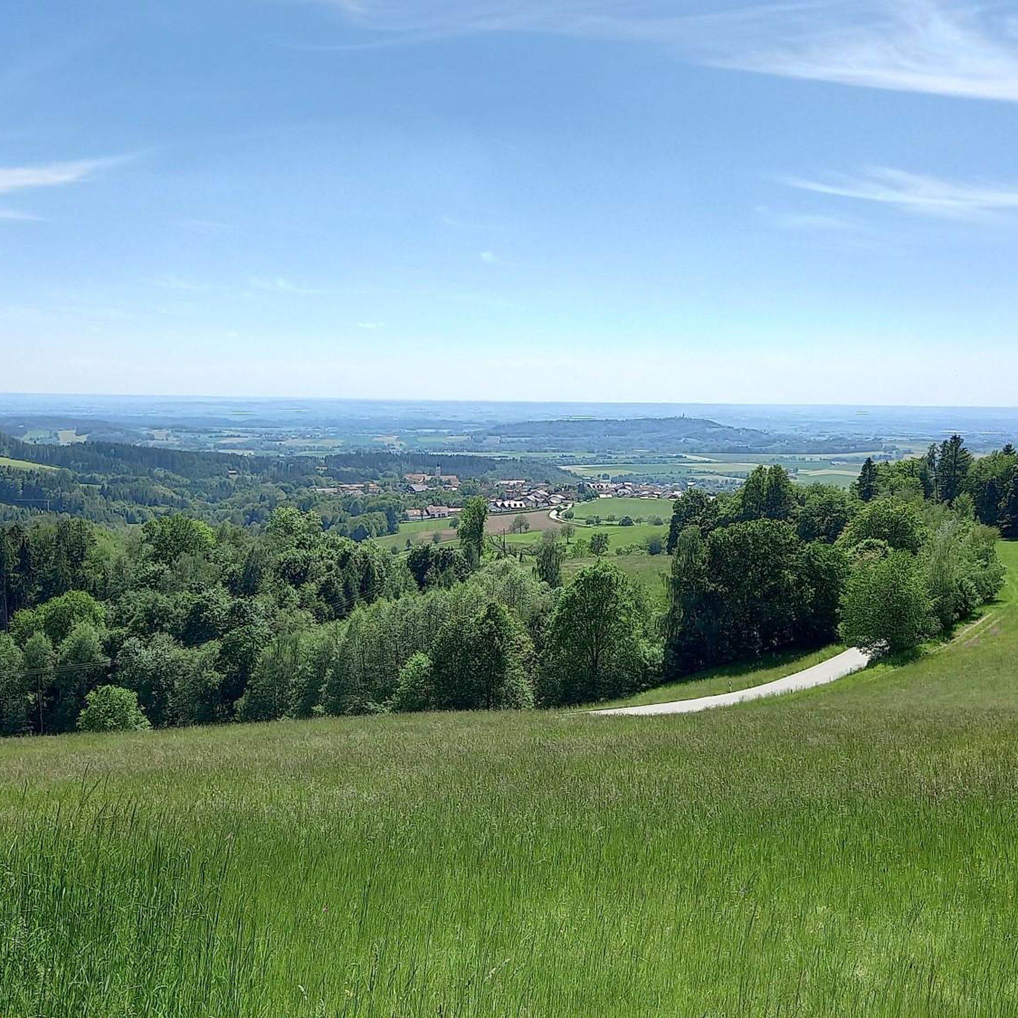
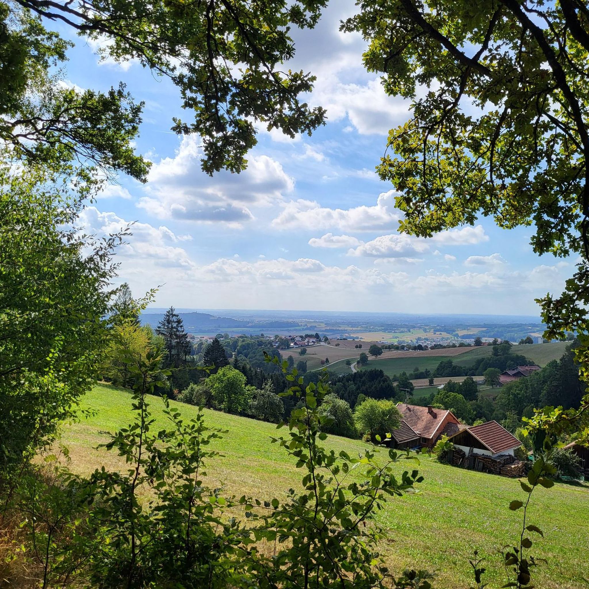
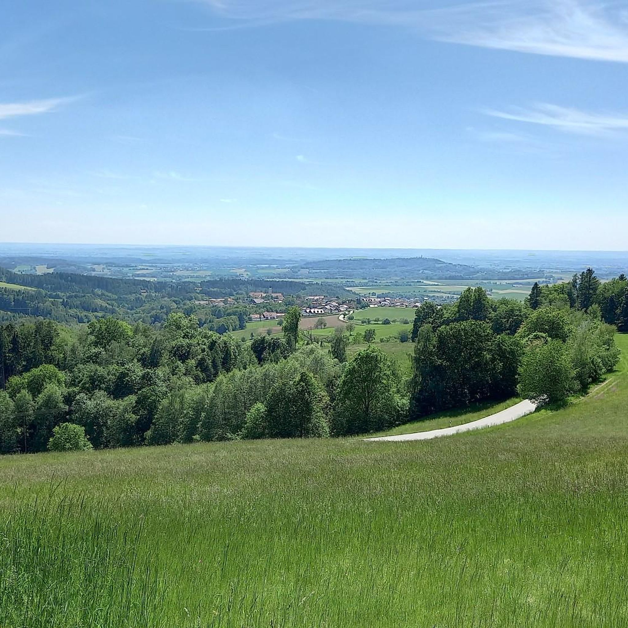

Tips from the Community

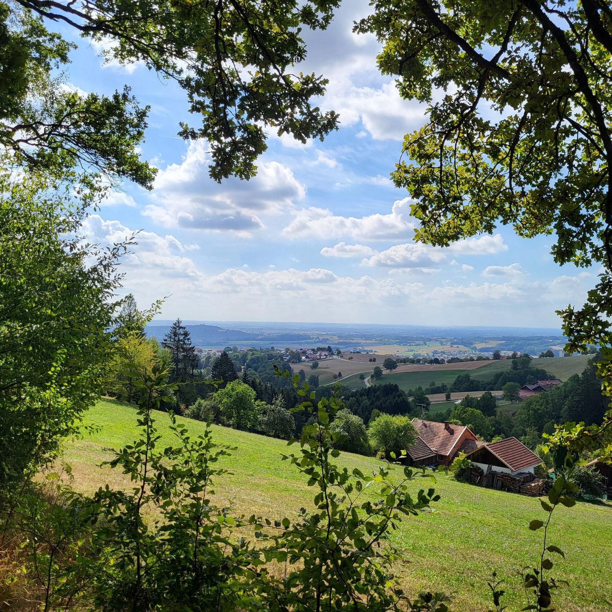
Beautiful viewpoint with a view into the Danube plain.
1
0
Memorial stone for the Mühlgraben from 1720, the hiking trail from Ödwies up to the height of Schachten was restored in 1983.
1
0

Super Trail 😀. Highly recommended. In the upper part, however, not for beginners.
0
0


Three downhills, ranging from easy to smash-and-grab (S3). Awesome. Oh yeah, there's a view too.
0
0

Grandsberg (850 m above sea level) is located near the state-recognized resort of Schwarzach in the Bavarian Forest. Here, on a beautiful, sunny, south-facing slope with views of the Danube plain, the Berggasthof Menauer offers an atmospheric ambiance for a relaxing holiday.
2
0
Small "rocky" shelter between Rauhen Kulm and Klausenstein.
3
0

Great surroundings
0
0
Frequently Asked Questions
How many mountaineering routes are available around Windberg?
There are over 15 mountaineering routes around Windberg, offering a variety of experiences for outdoor enthusiasts. These routes are situated within the mountains of Landkreis Straubing-Bogen, featuring diverse terrain from forested slopes to elevated sections.
What kind of terrain can I expect on mountaineering routes in Windberg?
Mountaineering around Windberg is characterized by forested mountain paths and elevated sections. The routes offer varied terrain, providing options for different ability levels, from moderate ascents to more challenging trails. You'll find yourself traversing through scenic woodlands and reaching elevated points with rewarding views.
Are there any easy mountaineering routes suitable for beginners in Windberg?
Yes, Windberg offers several routes suitable for those new to mountaineering. There are 4 easy routes available, perfect for getting started or enjoying a less strenuous day in the mountains. These trails are generally well-suited for good fitness levels without requiring extensive alpine experience.
Are there any challenging mountaineering routes for experienced hikers?
For experienced mountaineers seeking a challenge, Windberg offers 2 difficult routes. One such route is the Hirschenstein–Schuhfleck Trail – Hirschenstein loop from Grandsberger Hof, which covers 9.5 km and involves significant elevation changes, typically taking over 3 hours to complete. These routes require sure-footedness, sturdy shoes, and alpine experience.
What are some popular circular mountaineering routes in Windberg?
Many of the routes around Windberg are circular, allowing you to start and end at the same point. A popular moderate option is the Hirschenstein–Schuhfleck Trail – Hirschenstein loop from Grandsberg, which is 8.4 km long and takes about 2 hours 50 minutes. Another well-liked circular route is the Hirschenstein – Knogl summit cross loop from Sankt Englmar, a 13.7 km path leading to the Knogl summit cross.
What can I see along the mountaineering routes in Windberg?
The routes around Windberg offer opportunities to discover various natural features and viewpoints. You might encounter significant summits like Pröller summit cross or Käsplatte Summit. The Hirschenstein is also a notable viewpoint in the area, providing extensive views of the surrounding landscape.
What do other mountaineers enjoy most about the routes in Windberg?
The mountaineering routes in Windberg are highly rated by the komoot community, with an average score of 4.75 stars from over 5 reviews. Mountaineers often praise the varied terrain, the rewarding views from elevated sections, and the overall experience of exploring the region's natural landscape. Over 40 mountaineers have used komoot to explore Windberg's trails.
Are there any routes that pass by interesting landmarks or summit crosses?
Yes, several routes will lead you to significant landmarks. For instance, the Hirschenstein – Knogl summit cross loop from Sankt Englmar specifically leads to the Knogl summit cross, offering panoramic views. You can also find other summit crosses like the Klausenstein Summit Cross in the broader area.
What is the typical duration for mountaineering routes in Windberg?
The duration of mountaineering routes in Windberg varies depending on the trail and your pace. Moderate routes can range from under 3 hours, like the Hirschenstein–Schuhfleck Trail – Hirschenstein loop from Grandsberg (2 hours 50 minutes), to over 4 hours, such as the Hirschenstein – Schuhfleck Shelter loop from Böbrach (4 hours 17 minutes). Difficult routes may also take around 3 to 4 hours.
Are there any specific shelters or huts along the routes for a break?
While the guide data doesn't explicitly list huts on every route, the Hirschenstein – Schuhfleck Shelter loop from Böbrach suggests the presence of a shelter. It's always advisable to check individual route details on komoot for specific rest stops or facilities available along your chosen path.
What should I consider when planning a mountaineering trip to Windberg?
When planning your trip to Windberg, consider the varied terrain, which includes forested mountain paths and elevated sections. Ensure you have appropriate gear, including sturdy shoes. While many routes are accessible in fair weather, the high-alpine character of some areas means orientation can be difficult in bad weather, and strong winds can be a factor. Always check weather conditions before heading out.
Most popular routes around Windberg
Most popular attractions around Windberg

Get inspired with the komoot mobile app


Explore more
Browse the best Mountain Hikes & Routes in other regions.
