The best walks and hikes around Glenleslie
5.0
(7)
49
hikers
3
hikes
Hiking around Glenleslie offers trails through varied landscapes, including forest parks, reservoir areas, and river valleys. The region features gentle elevation changes, with routes often following natural water features and woodland paths. These trails provide opportunities to explore the natural environment of Glenleslie.
Best hiking trails around Glenleslie
- The most popular hiking route is Glenariff Forest Park Scenic Trail, a 4.6 miles (7.4 km) moderate trail that takes 2 hours 3 minutes to complete. This route explores the scenic…
Last updated: June 25, 2026
5.0
(1)
3
hikers
7.44km
02:03
120m
120m
Embark on a moderate hike through Glenariff Forest Park, known as the "Queen of the Glens." This route guides you through mature woodlands, along steep river gorges, and across open…
5.0
(1)
11
hikers
13.9km
03:48
210m
210m
Moderate hike. Good fitness required. Easily-accessible paths. Suitable for all skill levels.

Sign up for free
5.0
(1)
12
hikers
15.5km
04:14
240m
240m
Moderate hike. Good fitness required. Easily-accessible paths. Suitable for all skill levels.
8
hikers
4.73km
01:12
10m
10m
Easy hike. Great for any fitness level. Easily-accessible paths. Suitable for all skill levels.
5.0
(2)
9
hikers
14.9km
04:04
240m
240m
Moderate hike. Good fitness required. Easily-accessible paths. Suitable for all skill levels.
Our route recommendations are based on thousands of hikes, rides, and runs completed by other people on komoot.
Start today with a free account
Your next adventure awaits.
Login or Signup
Popular around Glenleslie
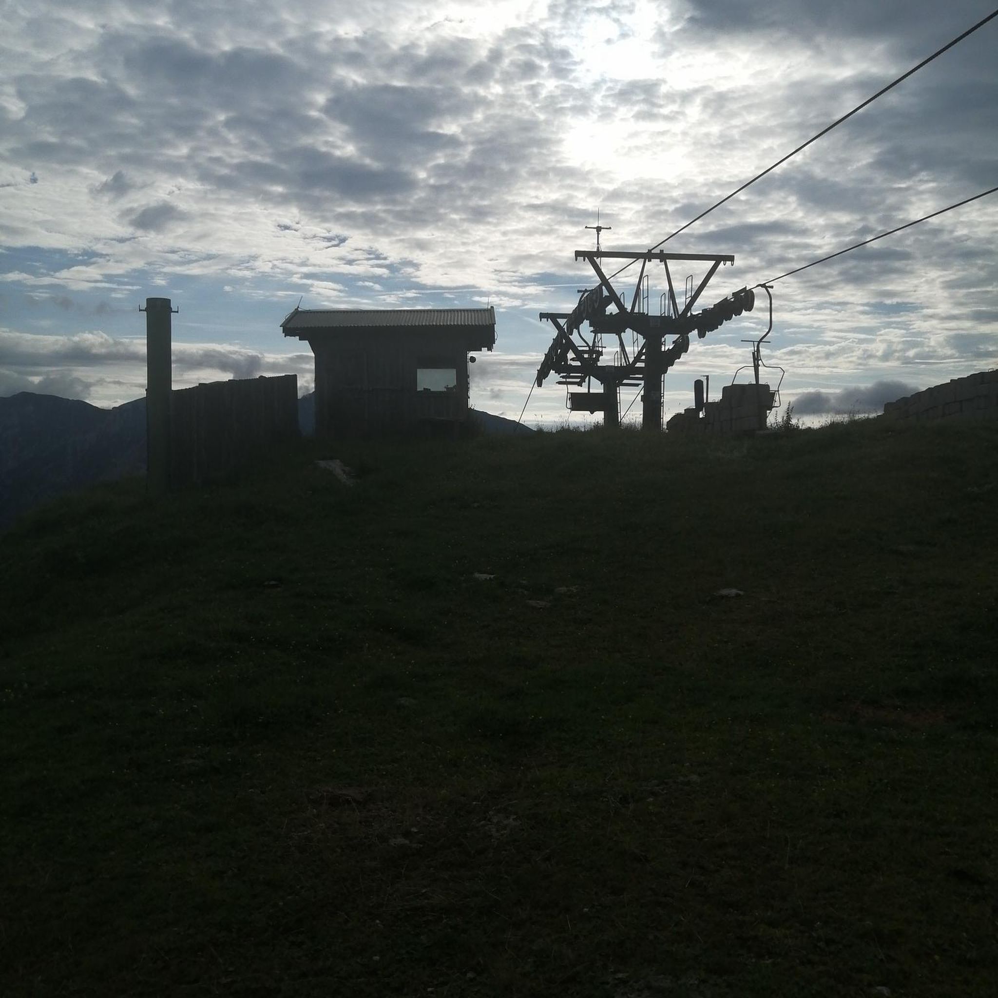
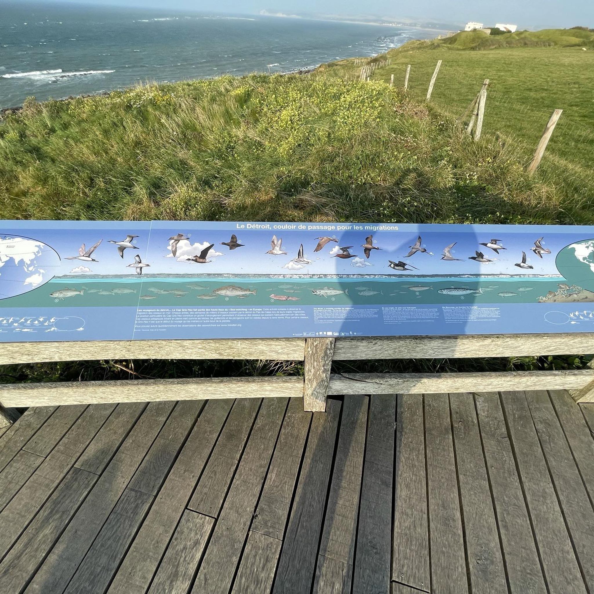

Tips from the Community

Great view of the valley
0
0

Nestled within the sensational landscapes of County Antrim, Glenariff Forest is a natural haven of tranquility and beauty. With its lush greenery, cascading waterfalls, and enchanting woodland trails, this forest offers the perfect location for a scenic nature walk.
3
0
These peaceful winding country lanes just above Glenariff Forest are a perfect spot for a walk if you'd prefer to avoid the crowds. Enjoy delightful scenes across the beautiful Antrim County, as well as glimpses to the coastline and across the Irish Sea.
2
0

Frequently Asked Questions
How many hiking trails are available in Glenleslie?
Glenleslie offers a selection of 5 hiking routes, ranging from easy river walks to moderate loops around reservoirs. These trails explore varied landscapes including forest parks and river valleys.
Are there easy hiking routes suitable for beginners in Glenleslie?
Yes, Glenleslie has options for beginners. The River Braid loop from Broughshane is an easy 2.9 miles (4.7 km) trail that takes about 1 hour 12 minutes to complete, following the River Braid valley.
What is the typical length and duration of hikes in Glenleslie?
Hikes in Glenleslie vary in length and duration. You can find shorter walks like the River Braid loop from Broughshane at 2.9 miles (4.7 km) taking just over an hour, up to longer moderate routes such as the Dungonnell Reservoir loop from Dungonnell Reservoir, which is 9.6 miles (15.5 km) and can take over 4 hours.
Are there any circular walks in Glenleslie?
Yes, many of the routes in Glenleslie are circular. Examples include the Dungonnell Reservoir loop from Glenariff Forest and the View of Glenariff Valley loop from Dungonnell, both offering scenic circular paths through the region's diverse landscapes.
What do other hikers say about the trails in Glenleslie?
The hiking trails in Glenleslie are highly regarded by the komoot community, holding an average rating of 5.0 stars from over 6 reviews. Hikers often praise the quiet woodlands, scenic reservoir views, and well-maintained paths that characterize the region's routes.
Are the hiking trails in Glenleslie suitable for families?
Glenleslie offers trails with gentle elevation changes, making some routes suitable for families. The River Braid loop from Broughshane is an easy option that follows a river valley, which can be enjoyable for families looking for a shorter, less strenuous walk.
What is the best time of year to go hiking in Glenleslie?
Glenleslie's trails, characterized by forest parks and river valleys, are enjoyable throughout much of the year. Spring and autumn offer pleasant temperatures and vibrant scenery, while summer provides longer daylight hours. Winter hiking is possible, but conditions may vary, especially in forested areas.
Are there any hikes in Glenleslie with good viewpoints?
While specific viewpoints are not detailed for every route, trails like the View of Glenariff Valley loop from Dungonnell suggest opportunities for scenic vistas over the Glenariff Valley and surrounding areas, particularly around the reservoir routes.
Are dogs allowed on the hiking trails in Glenleslie?
Many outdoor areas in Glenleslie, including forest parks and public paths, are generally dog-friendly. However, it's always recommended to keep dogs on a leash, especially near livestock or in nature conservation areas, and to check specific park regulations before your visit.
Where can I find parking for the trailheads in Glenleslie?
Parking facilities are typically available at popular starting points for trails, such as Glenariff Forest Park for routes like the Glenariff Forest Park Scenic Trail. For other routes, roadside parking or designated car parks in nearby villages like Broughshane may be available.
Are there cafes or refreshment stops near the hiking routes?
While specific cafes directly on the trails are uncommon, you can often find refreshment options in the nearby villages and towns surrounding Glenleslie, such as Broughshane or within Glenariff Forest Park itself, depending on the route you choose.
What kind of terrain can I expect on Glenleslie's hiking trails?
The terrain in Glenleslie primarily consists of well-defined paths through forest parks, along reservoir edges, and beside river valleys. You can expect gentle elevation changes, with surfaces ranging from compacted earth and gravel to some paved sections, suitable for standard hiking footwear.
Most popular routes around Glenleslie

Get inspired with the komoot mobile app


Explore more
Browse the best Hikes in other regions.
