The best road cycling routes around Aughnaholle
96
riders
6
rides
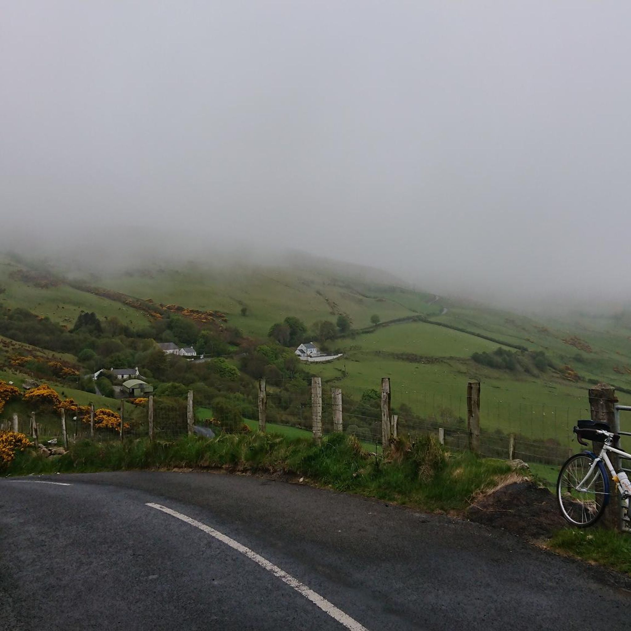
Road cycling around Aughnaholle features routes that traverse coastal landscapes and offer significant elevation changes. The area's road cycling routes include paths along harbours and beaches, with some extending to prominent headlands. These routes often involve climbs, providing varied terrain for road cyclists.
Best road cycling routes around Aughnaholle
- The most popular road cycling route is Cushendun Harbour – Carnlough Harbour loop from Cushendun, a 37.2 miles (59.9 km) trail that takes about 2 hours 50 minutes to complete.…
Last updated: June 29, 2026
5.0
(1)
26
riders
59.2km
02:46
700m
700m
Moderate road ride. Good fitness required. Some segments of this route may be unpaved and difficult to ride.
7
riders
24.4km
01:13
320m
320m
Moderate road ride. Good fitness required. Some segments of this route may be unpaved and difficult to ride.

Sign up for free
14
riders
60.4km
03:29
1,340m
1,340m
Hard road ride. Very good fitness required. Some segments of this route may be unpaved and difficult to ride.
5
riders
96.4km
04:17
960m
960m
Hard road ride. Very good fitness required. Some segments of this route may be unpaved and difficult to ride.
3
riders
136km
06:18
1,490m
1,490m
Hard road ride. Very good fitness required. Mostly well-paved surfaces and easy to ride.
Our route recommendations are based on thousands of hikes, rides, and runs completed by other people on komoot.
Start today with a free account
Your next adventure awaits.
Login or Signup
Popular around Aughnaholle


Tips from the Community

Not as impressive in nature anymore, some trees or branches have been removed.
0
0

A very nice little place. The free car park is very central and spacious. The entrance height is stated as 1.95m. In our case, the height bar was set aside and therefore open.
1
0

Nice harbour, with ferries to Rathlin Island (opposite, half an hour away) that leave every hour. Lots of ice cream shops nearby and a nice park, very relaxing area.
0
0

An old-fashioned marina in a fishing village. An idyllic place to stop during the long walk on this stretch of the CCR.
2
0

This iconic moody avenue of beech trees was planted by the Stuart family in the eighteenth century. Two centuries later, the trees remain a treat and are one of the most photographed natural phenomena in Northern Ireland. Most recently used as a film location in Game of Thrones.
0
0

Ballycastle is a charming coastal town located in Northern Ireland. The colourful town is a perfect blend of natural beauty and rich history and displays some gorgeous coastal views out to Rathlin Island and Irish Sea.
3
0
Beautiful little harbour located in the seaside village of Cushendun. The Mary McBrides across the road from here sells delicious food and real ales. There is also a café and convenience store nearby where you can pick up some snacks and take a respite on the sandy shore nearby.
2
0

The Round Tower was built as a freestanding bell towe in the 11th or 12th century.
1
0
Frequently Asked Questions
How many road cycling routes are available around Aughnaholle?
There are 5 road cycling routes available around Aughnaholle, offering a range of experiences from moderate to difficult.
What kind of terrain can I expect on road cycling routes in Aughnaholle?
Road cycling routes in Aughnaholle primarily traverse coastal landscapes, featuring paths along harbours and beaches. You can expect varied terrain, including significant climbs, especially when routes extend to prominent headlands.
Are there routes suitable for experienced road cyclists seeking a challenge?
Yes, Aughnaholle offers routes for experienced road cyclists. For instance, the View of Torr Head – Cushendun Village loop from Cushendun is a difficult route with substantial elevation gain, providing a challenging ride.
Can I find circular road cycling routes in Aughnaholle?
Yes, all the featured road cycling routes around Aughnaholle are circular loops. Examples include the Cushendun Harbour – Carnlough Harbour loop from Cushendun and the Cushendun Village – Ballycastle Beach loop from Cushendun.
What are some notable landmarks or viewpoints along the road cycling routes?
While cycling, you can encounter several notable landmarks and viewpoints. These include the scenic Torr Head Coastal Road, the historic Cushendun Caves, and the impressive Fair Head Climbing Area. You'll also find views of Cushendun Harbour and distant glimpses of Rathlin Island.
Are there any coastal routes that offer scenic views?
Absolutely. Road cycling in Aughnaholle is defined by its coastal paths and harbour views. Routes like the Cushendun Harbour – Carnlough Harbour loop from Cushendun connect coastal harbours, providing continuous scenic vistas of the sea and coastline.
What is the typical duration for road cycling routes in Aughnaholle?
The duration for road cycling routes in Aughnaholle varies. Shorter routes, such as the M. McBrides Pub – Cushendun Village loop from Cushendun, can be completed in about 1 hour 10 minutes. Longer, more challenging routes can take up to 4 hours 15 minutes, like the Cushendun Village – Waterfoot Beach loop from Cushendun.
What do other road cyclists say about the routes in Aughnaholle?
The road cycling routes in Aughnaholle are highly regarded by the komoot community. Over 90 road cyclists have explored the area's varied terrain, indicating a positive and engaging experience for those who visit.
Are there options for shorter road cycling routes in Aughnaholle?
Yes, if you're looking for a shorter ride, the M. McBrides Pub – Cushendun Village loop from Cushendun is a great option. It's a moderate 14.9-mile (23.9 km) trail that typically takes around 1 hour 10 minutes to complete, leading through coastal areas.
What is the elevation gain like on the road cycling routes around Aughnaholle?
The road cycling routes around Aughnaholle feature varied elevation. You can expect significant climbs, with some routes having over 1300 meters of elevation gain, such as the difficult View of Torr Head – Cushendun Village loop from Cushendun.
Are there any routes that connect different harbours or villages?
Yes, several routes are designed to connect different coastal points. The Cushendun Harbour – Carnlough Harbour loop from Cushendun is a prime example, linking two distinct coastal harbours. Another route, the Cushendun Village – Ballycastle Beach loop from Cushendun, passes through coastal villages and along beaches.
What makes road cycling in Aughnaholle unique?
Road cycling in Aughnaholle is unique due to its combination of dramatic coastal paths, picturesque harbour views, and varied elevation changes. The routes offer a blend of challenging climbs and scenic stretches, providing a diverse experience for road cyclists.
Most popular routes around Aughnaholle
Most popular attractions around Aughnaholle

Get inspired with the komoot mobile app


Explore more
Browse the best Road cycling routes in other regions.
