Barford St. John And St. Michael
Barford St. John And St. Michael
The best walks and hikes around Barford St. John And St. Michael
4.6
(407)
2,330
hikers
208
hikes
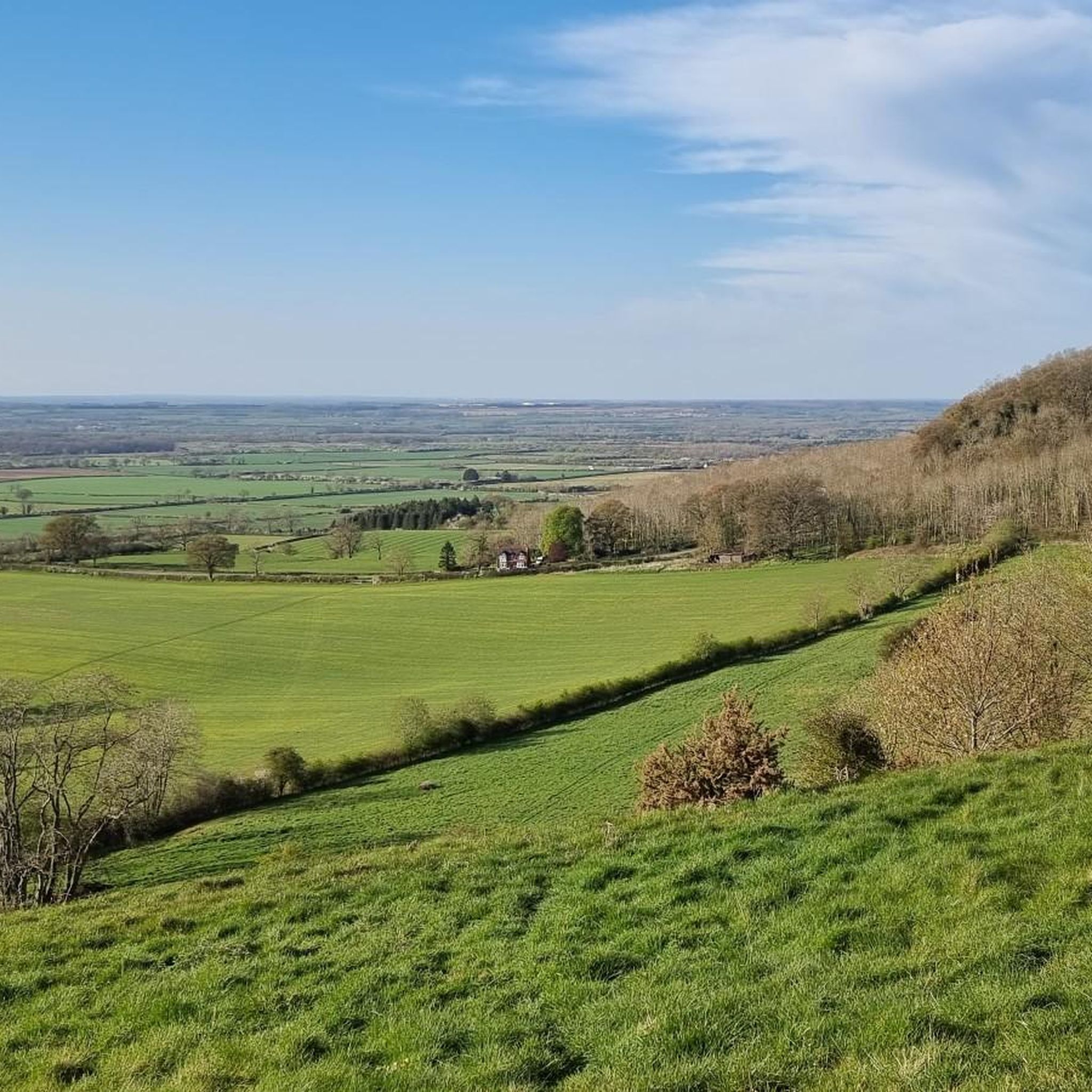
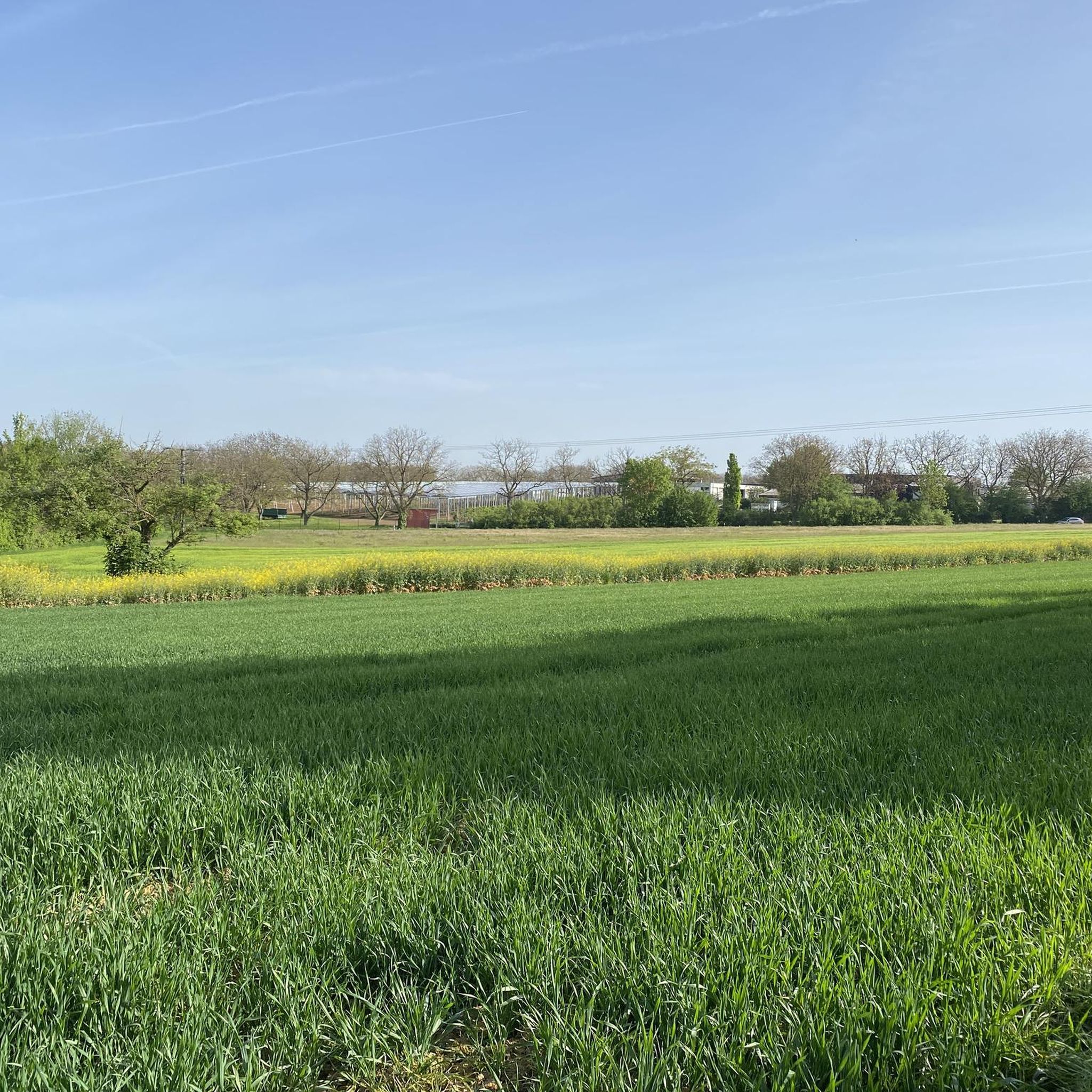
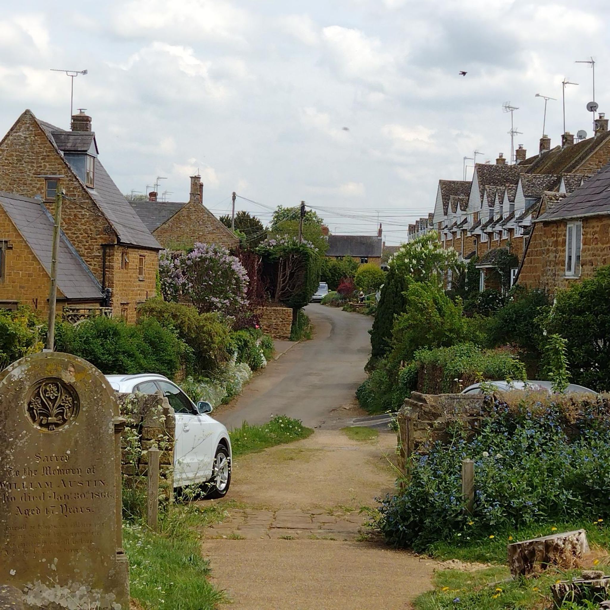
Hiking around Barford St. John And St. Michael is characterized by rolling hills and valleys, shaped by the River Swere and its tributaries. The landscape features a mix of open countryside, farmland, and wooded valleys, offering varied gradients. The area's geology includes marlstone, which contributes to the distinctive golden-brown stone architecture found in the villages. Footpaths and bridleways provide access to this countryside, which shares characteristics with the nearby Cotswolds.
Best hiking trails around Barford St. John And St. Michael
- The most popular hiking route is Start of Loop Walk loop from Deddington, a 6.1 miles (9.9 km) trail that takes 2 hours 34 minutes to complete. This moderate route offers views of the surrounding rolling countryside.
- Another top favourite among local hikers is Falkland Arms, Great Tew loop from Worton, an easy 4.4 miles (7.1 km) path. This trail leads through picturesque villages and open fields, typical of the Oxfordshire landscape.
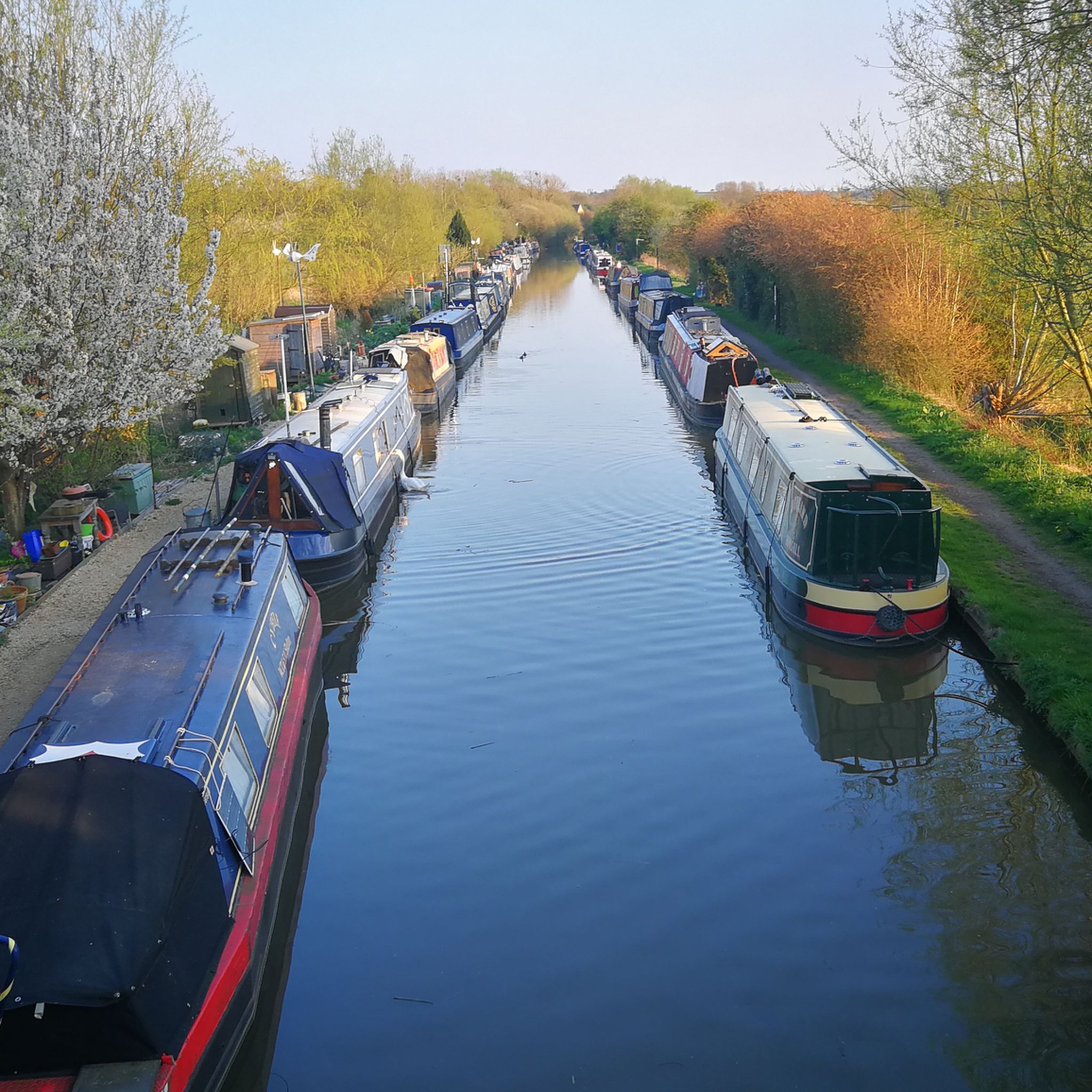
- Local hikers also love the North Aston Mill – Bridge Over the Oxford Canal loop from Deddington, a 10.3 miles (16.5 km) trail leading through riverside areas and alongside the Oxford Canal, often completed in about 4 hours 15 minutes.
- Hiking around Barford St. John And St. Michael is defined by rolling hills, historic villages, and tranquil waterways like the River Swere and Oxford Canal. The network offers options for different ability levels, from easy strolls to more moderate hikes.
- The routes in Barford St. John And St. Michael are highly rated by the komoot community with an average score of 4.6 stars from more than 300 reviews. More than 2,000 hikers have used komoot to explore Barford St. John And St. Michael's varied terrain.
Last updated: July 9, 2026
4.0
(3)
23
hikers
9.87km
02:34
70m
70m
Moderate hike. Good fitness required. Easily-accessible paths. Suitable for all skill levels.
4.2
(9)
52
hikers
7.06km
01:51
50m
50m
Easy hike. Great for any fitness level. Easily-accessible paths. Suitable for all skill levels.

Sign up for free
4.0
(1)
6
hikers
16.5km
04:16
90m
90m
Moderate hike. Good fitness required. Easily-accessible paths. Suitable for all skill levels.
5.0
(1)
10
hikers
14.6km
03:59
220m
220m
Moderate hike. Good fitness required. Easily-accessible paths. Suitable for all skill levels.
4.0
(2)
6
hikers
9.34km
02:25
50m
50m
Moderate hike. Good fitness required. Easily-accessible paths. Suitable for all skill levels.
Get access to more routes and recommendations from other explorers.
Sign up for free
Already have an account?
Our route recommendations are based on thousands of hikes, rides, and runs completed by other people on komoot.
Start today with a free account
Your next adventure awaits.
Login or Signup
Popular around Barford St. John And St. Michael

Tips from the Community


Enjoy views out to Bloxham Windmill, a Grade II listed building situated on Bloxham Grove Farm in Oxfordshire. The windmill was built in 1865 by Henry Warriner as a 'memorial to all windmills'.
4
1
A little exit to the right will lead you onto the main road and toward Aynho Wharf and the Great Western Arms, which is a perfect spot for a half-way mark rest. The pub serves a great array of food and drinks and features a lovely outdoor seating area.
1
0
Often described as one of the prettiest villages in the UK, Great Tew is the perfect place to wander around and enjoy some quintessential Cotswolds scenery. Make sure to check out the gorgeous 16th-century pub, Falkland Arms, whilst you're here.
3
0

Winter can be slippy with concealed roots, steep muddy exit from brook
0
0
Great stop for coffee/food
0
0

This is a view from Cleverly not Gt Tew
0
0
Frequently Asked Questions
How many hiking trails are available around Barford St. John And St. Michael?
There are over 200 hiking routes in the Barford St. John And St. Michael area, offering a wide variety of options for different skill levels and preferences. You'll find a mix of easy, moderate, and some more challenging trails.
What kind of terrain can I expect on hikes in this region?
The terrain around Barford St. John And St. Michael is characterized by rolling hills and valleys, shaped by the River Swere and its tributaries. Hikers can expect to traverse open countryside, farmland, and wooded valleys, offering varied gradients and scenic views. The local geology, including marlstone, contributes to the distinctive golden-brown stone architecture seen in the villages.
Are there any easy, family-friendly hiking routes?
Yes, there are many easy routes suitable for families. For example, the Falkland Arms, Great Tew loop from Worton is an easy 7.1 km path that leads through picturesque villages and open fields, perfect for a relaxed outing.
What are some notable landmarks or attractions I might see while hiking?
While hiking, you can discover charming historic villages like Barford St. John and Barford St. Michael with their 12th-century churches. You might also encounter historic sites such as the Grade II listed Bloxham Grove Windmill, or enjoy tranquil waterside paths along the River Swere or the Oxford Canal. Other nearby attractions include Banbury Cross and Wroxton Abbey and Gardens.
Are there any circular walks available?
Yes, many routes in the area are circular. A popular moderate circular option is the Start of Loop Walk loop from Deddington, which is 9.9 km long and offers beautiful views of the surrounding countryside.
What do other hikers enjoy most about the trails in Barford St. John And St. Michael?
The area is highly rated by the komoot community, with an average score of 4.6 stars from over 360 reviews. Hikers often praise the varied terrain, the charm of the historic villages, and the peaceful atmosphere of the countryside and waterways.
Are dogs allowed on the hiking trails?
Many footpaths and bridleways in the Barford St. John And St. Michael area are dog-friendly. However, as routes often pass through farmland, it's essential to keep dogs under control, especially near livestock, and to follow the Countryside Code by keeping them on a lead where appropriate.
Are there any longer, more challenging hikes?
For those seeking a longer hike, the North Aston Mill – Bridge Over the Oxford Canal loop from Deddington is a moderate 16.5 km trail. It takes you through riverside areas and alongside the Oxford Canal, offering a more extended exploration of the landscape.
What is the best time of year to go hiking in this region?
The Barford St. John And St. Michael area is enjoyable for hiking throughout much of the year. Spring brings wildflowers and lush greenery, while autumn offers beautiful foliage. Summer is ideal for longer days, and even winter can be pleasant for crisp walks, though some paths might be muddy. Always check local weather conditions before heading out.
Where can I find parking for hiking trails?
Parking is generally available in or near the villages that serve as starting points for many trails, such as Deddington, Worton, or Bloxham. Look for designated public parking areas or consider parking responsibly in village streets where permitted.
Are there any routes that feature waterways or canals?
Yes, the area is rich with waterways. The River Swere flows between the two villages, and the River Cherwell is nearby. You can find pleasant riverside walking opportunities, and routes like the North Aston Mill – Bridge Over the Oxford Canal loop from Deddington specifically feature sections alongside the tranquil Oxford Canal.
What is the typical elevation gain on hikes here?
Given the rolling hills and valleys, hikes in Barford St. John And St. Michael typically feature moderate elevation gains. For instance, a 9.9 km moderate route might have around 66 meters of ascent, while a longer 16.5 km route could involve about 89 meters of climbing. This provides varied gradients without overly strenuous climbs.
Most popular routes around Barford St. John And St. Michael
Most popular attractions around Barford St. John And St. Michael

Get inspired with the komoot mobile app


Explore more
Browse the best Hikes in other regions.
