The best mountain hikes around Sankt Oswald-Riedlhütte
4.8
(23)
212
hikers
22
hikes
Mountaineering routes around Sankt Oswald-Riedlhütte are situated within the Bavarian Forest, characterized by dense woodlands and notable summits. The region features varied terrain, including paths leading to peaks like Lusen and Rachel. These routes often traverse forested slopes and offer views of the surrounding natural landscape. The area provides a range of challenges for mountaineers.
Best mountaineering routes around Sankt Oswald-Riedlhütte
- The most popular mountaineering route is Glass Ark in the Bavarian Forest – Lusen Summit loop from Waldhäuser Wald…
Last updated: July 5, 2026
5.0
(3)
26
hikers
8.49km
02:41
320m
320m
Hard mountaineering route. Good fitness required. Sure-footedness, sturdy shoes and alpine experience required.
5.0
(4)
20
hikers
13.1km
04:29
670m
670m
Moderate mountaineering route. Good fitness required. Mostly accessible paths. Sure-footedness required.

Sign up for free
5.0
(3)
13
hikers
9.47km
03:22
500m
500m
Hard mountaineering route. Good fitness required. Sure-footedness, sturdy shoes and alpine experience required.
5.0
(2)
12
hikers
12.5km
04:12
580m
580m
Moderate mountaineering route. Good fitness required. Mostly accessible paths. Sure-footedness required.
9
hikers
9.70km
03:06
320m
320m
Hard mountaineering route. Good fitness required. Sure-footedness, sturdy shoes and alpine experience required.
Get access to more routes and recommendations from other explorers.
Sign up for free
Already have an account?
Our route recommendations are based on thousands of hikes, rides, and runs completed by other people on komoot.
Start today with a free account
Your next adventure awaits.
Login or Signup
Popular around Sankt Oswald-Riedlhütte

The Goldsteig – 38 stages between Upper Palatinate and Passau

Triathlon around Germany
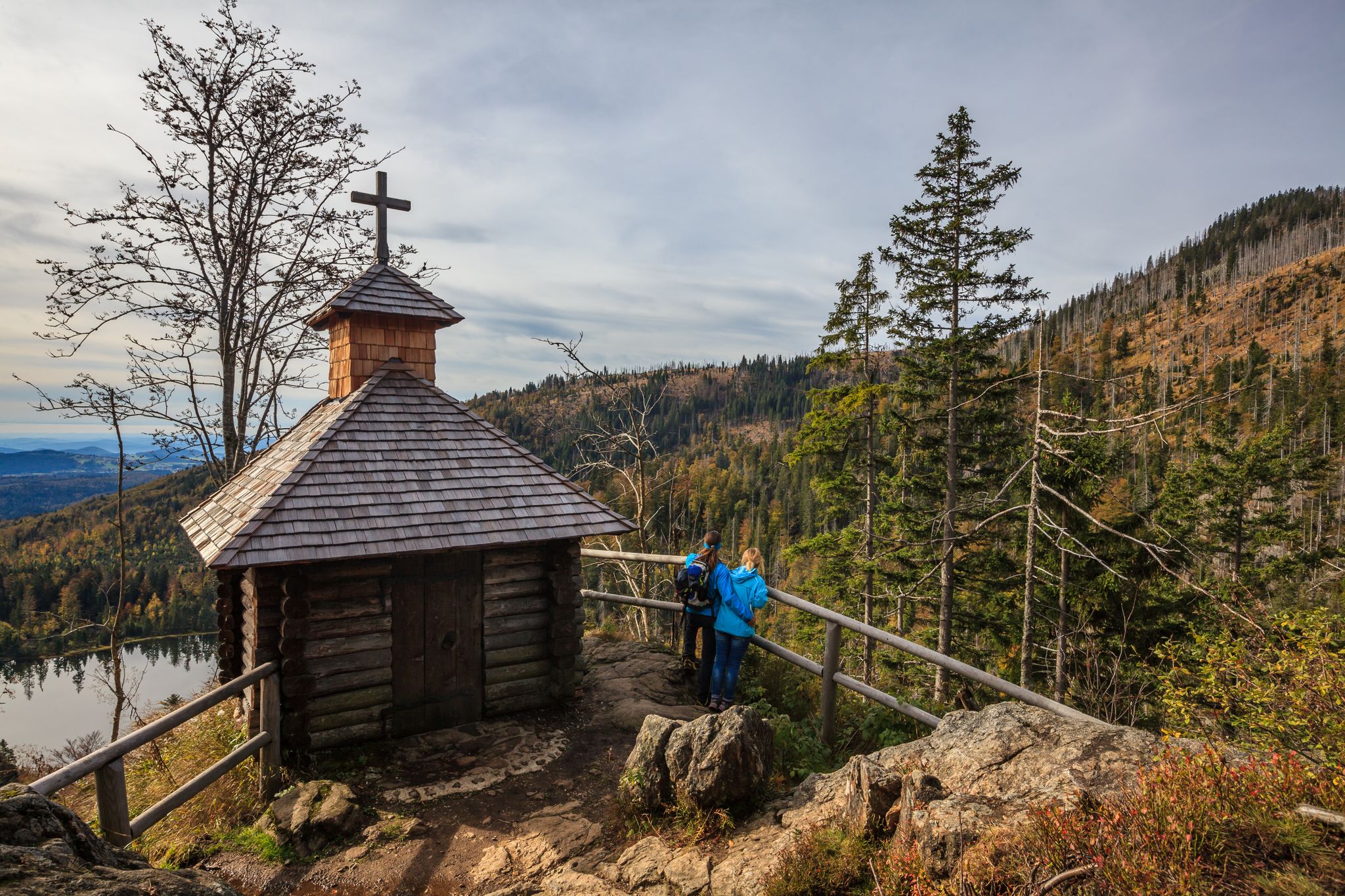
Lovely hikes in the Bavarian Forest National Park
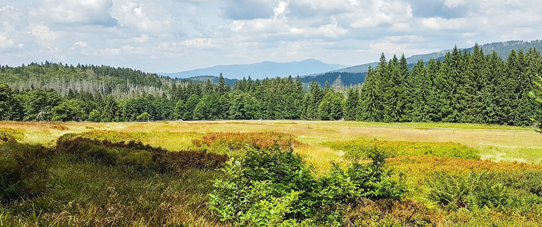
Let nature be nature – hiking in the Bavarian Forest
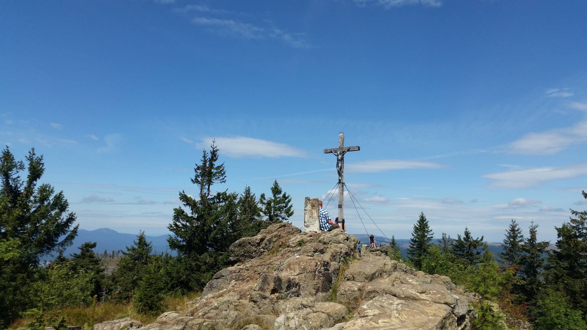
Eight thousand meter high mountains in the Bavarian Forest
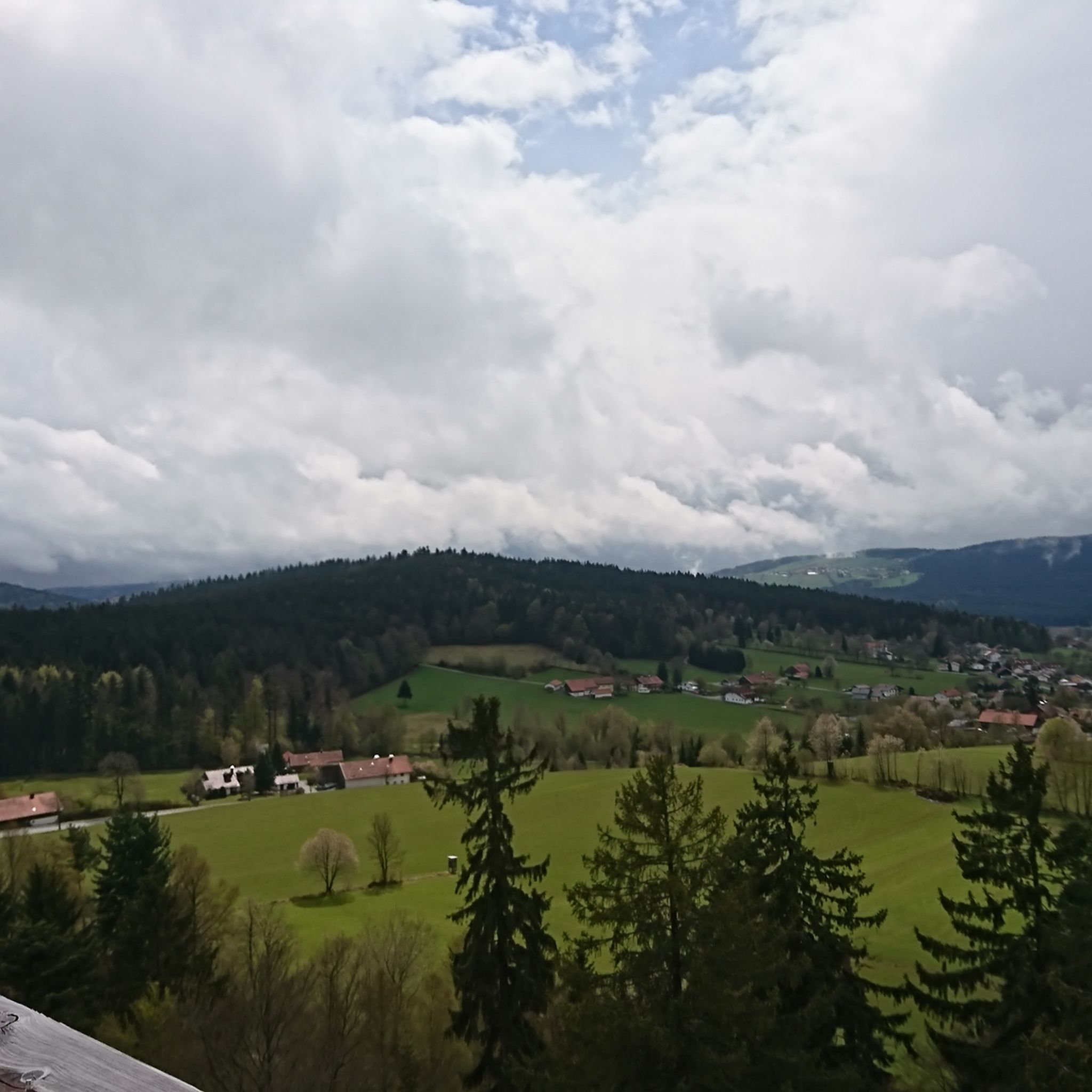
Hiking around Sankt Oswald-Riedlhütte
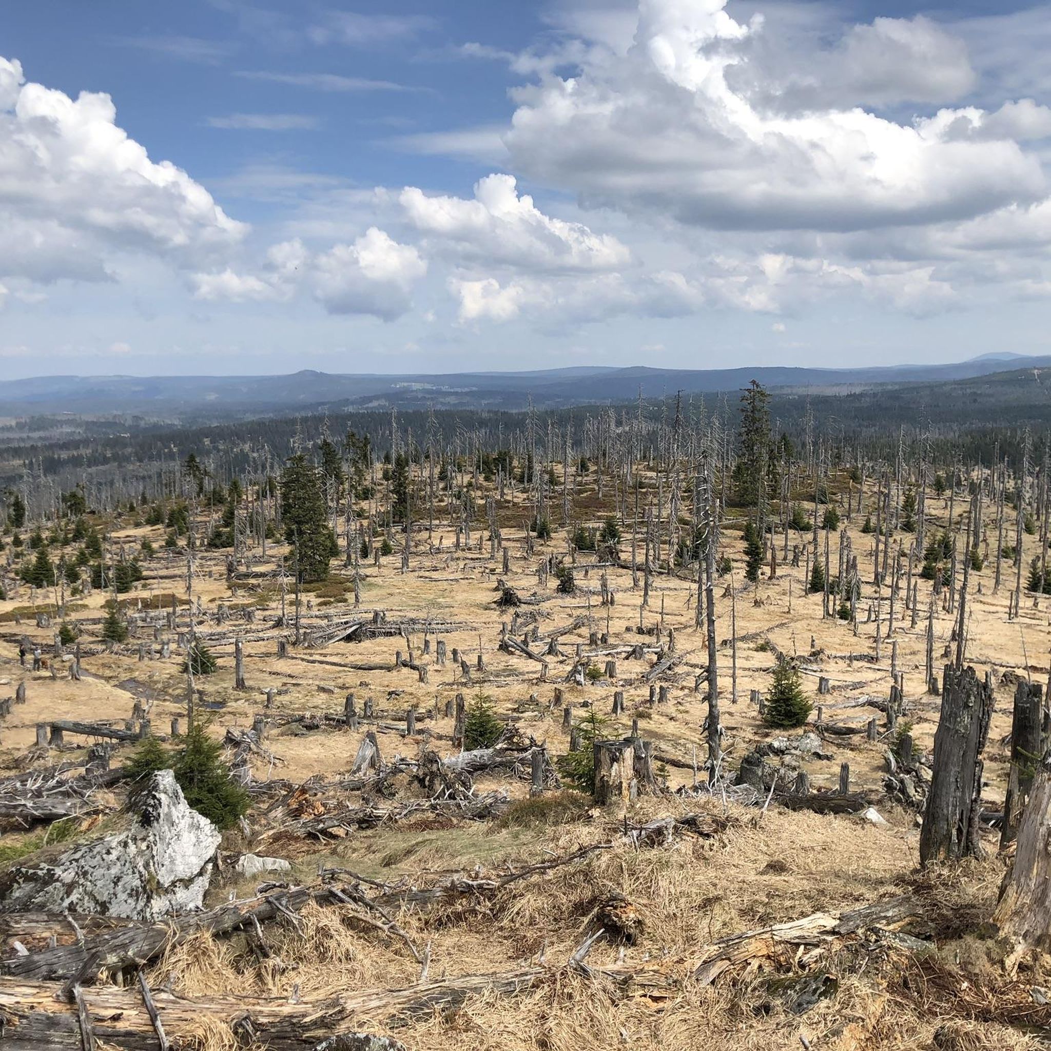
Cycling around Sankt Oswald-Riedlhütte
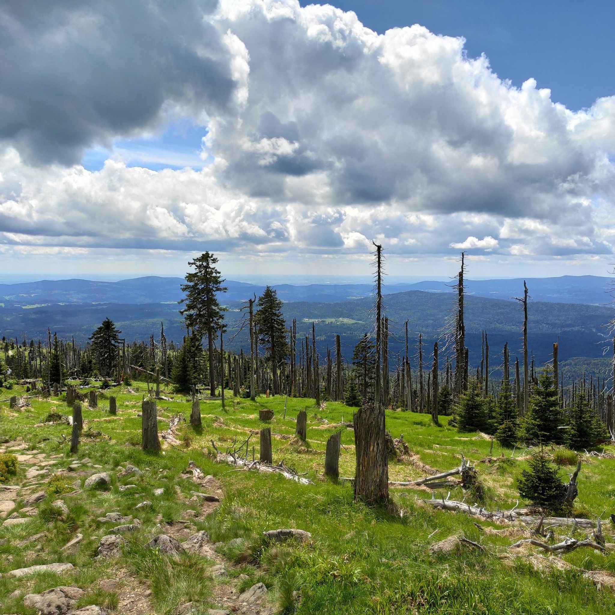
MTB Trails around Sankt Oswald-Riedlhütte
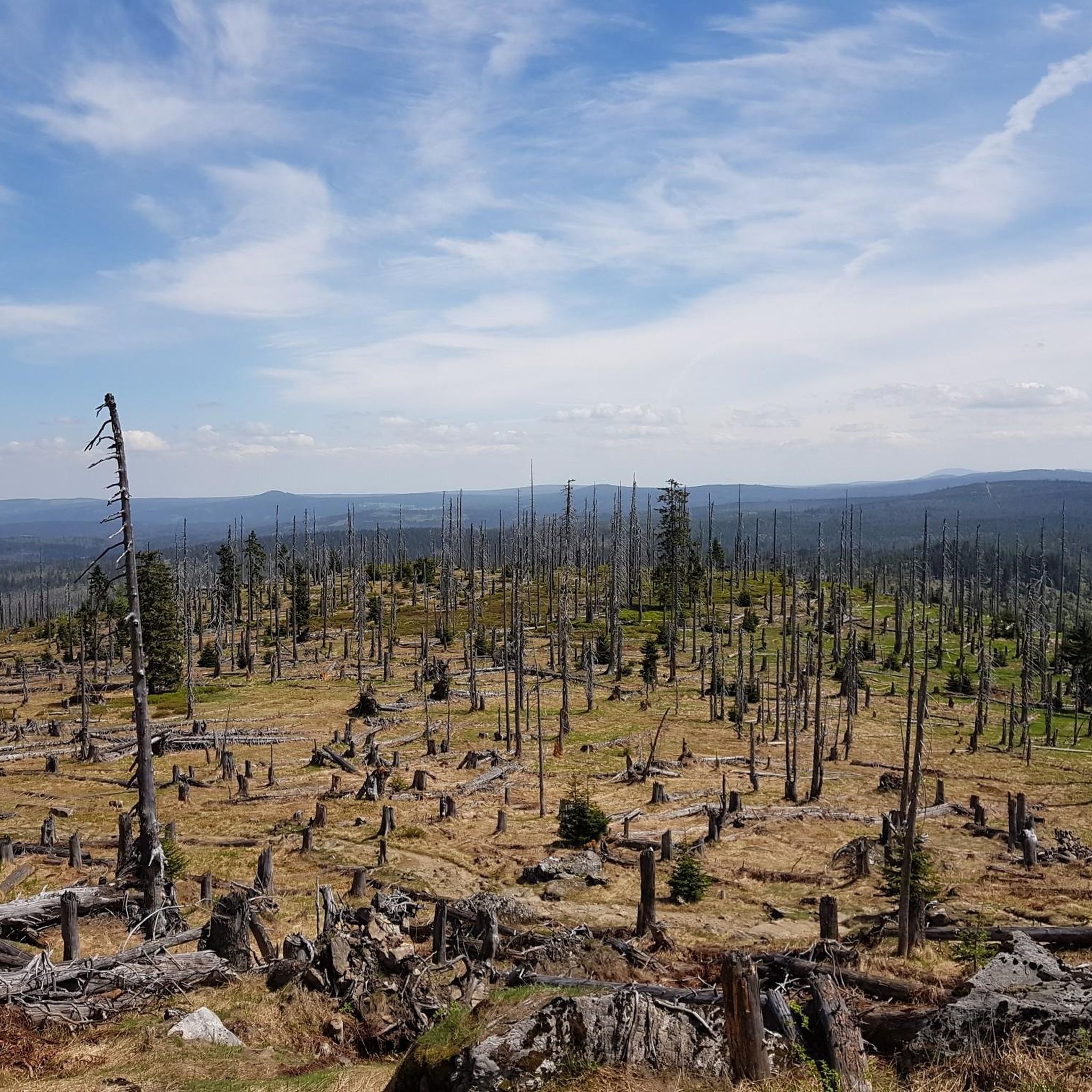
Road Cycling Routes around Sankt Oswald-Riedlhütte
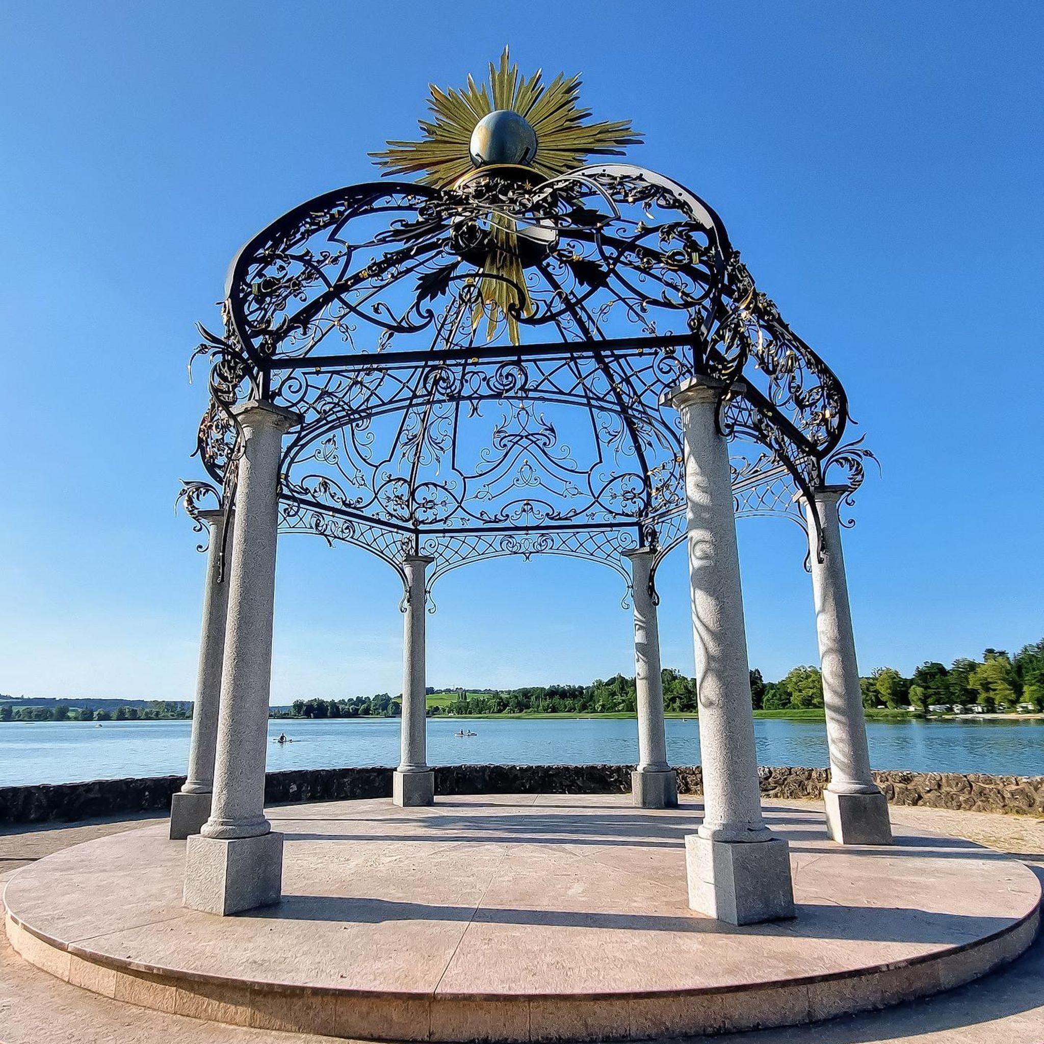
Gravel biking around Sankt Oswald-Riedlhütte
Other adventures around Sankt Oswald-Riedlhütte


Tips from the Community

beautiful, strenuous staircase to the Lusen summit
1
0
It's always lovely here.
0
0
It's always amazing to see what nature has created.
0
0
very popular photo point
0
0
beautiful collection of stones in the gorge
0
0
nice wooden walkway to avoid getting wet feet
0
0
Frequently Asked Questions
How many mountaineering routes are available around Sankt Oswald-Riedlhütte?
There are over 25 mountaineering routes in the Sankt Oswald-Riedlhütte area. These routes are primarily categorized as moderate or difficult, offering a range of challenges for different skill levels.
Are there any easy or family-friendly mountaineering routes?
While there are no routes specifically classified as 'easy' for mountaineering in this area, several moderate routes can be suitable for families with some hiking experience. For example, the Lusen Shelter – Lusen Summit loop from Waldhäuser Wald is a moderate 5.1-mile (8.2 km) trail with manageable elevation, often completed in about 2 hours 35 minutes.
What are some challenging mountaineering routes in the region?
For those seeking a challenge, the area offers several difficult routes. The Glass Ark in the Bavarian Forest – Lusen Summit loop from Waldhäuser Wald is a difficult 5.5-mile (8.9 km) trail that ascends to the Lusen Summit, taking nearly 3 hours. Another demanding option is the Lusen Summit – Glass Ark in the Bavarian Forest loop from Sankt Oswald, covering 9.5 km with significant elevation gain.
Are there circular mountaineering routes available?
Yes, many of the mountaineering routes around Sankt Oswald-Riedlhütte are circular, allowing you to start and end at the same point. Examples include the Rachel Summit (Rachel Peak) – Waldschmidt Hut loop from Gfäll, a moderate 6.7-mile (10.9 km) path, and the Rachel Summit (Rachel Peak) – Großer Rachel Summit loop from Klingenbrunn, which is a longer 13.1 km moderate loop.
What kind of terrain can I expect on these routes?
Mountaineering routes in Sankt Oswald-Riedlhütte are primarily situated within the Bavarian Forest, characterized by dense woodlands. You can expect varied terrain, including forested slopes, rocky sections, and paths leading to prominent summits like Lusen and Rachel. The routes often offer views of the surrounding natural landscape.
When is the best time of year to go mountaineering in Sankt Oswald-Riedlhütte?
The best time for mountaineering in Sankt Oswald-Riedlhütte is generally from late spring through early autumn (May to October). During these months, the weather is typically more stable, and trails are clear of snow, offering optimal conditions for exploring the forested slopes and summits.
Can I go mountaineering in winter?
Winter mountaineering is possible but requires appropriate gear and experience due to snow and ice conditions. Some trails may be closed or require snowshoes or skis. Always check local conditions and weather forecasts before heading out in winter.
What interesting natural attractions can I see along the routes?
The region is rich in natural beauty. You might encounter various waterfalls, such as the Waterfall in Naturpark Bayerischer Wald or the Steinige Seige Waterfall. Some routes also pass by serene lakes like Reschbachklause, offering picturesque views.
Are there places to eat or drink near the mountaineering trails?
While specific cafes directly on every trail are not guaranteed, many routes start or pass near villages like Waldhäuser Wald or Gfäll, where you can often find traditional Bavarian guesthouses or restaurants for refreshments before or after your hike. It's always a good idea to carry sufficient water and snacks.
What do other mountaineers enjoy most about the routes in Sankt Oswald-Riedlhütte?
The mountaineering routes in Sankt Oswald-Riedlhütte are highly rated by the komoot community, with an average score of 4.8 stars from over 30 reviews. Reviewers often praise the region's dense, quiet woodlands, the panoramic views from summits like Lusen and Rachel, and the well-maintained paths that offer a true Bavarian Forest experience.
Is parking available at the trailheads?
Many popular trailheads, especially those leading to Lusen and Rachel, typically have designated parking areas. For routes starting from locations like Waldhäuser Wald or Gfäll, you can usually find parking facilities, though it's advisable to arrive early during peak season.
Most popular routes around Sankt Oswald-Riedlhütte
Most popular attractions around Sankt Oswald-Riedlhütte

Get inspired with the komoot mobile app


Explore more
Browse the best Mountain Hikes & Routes in other regions.
