The best mountain hikes around Freyung
4.7
(9)
91
hikers
13
hikes
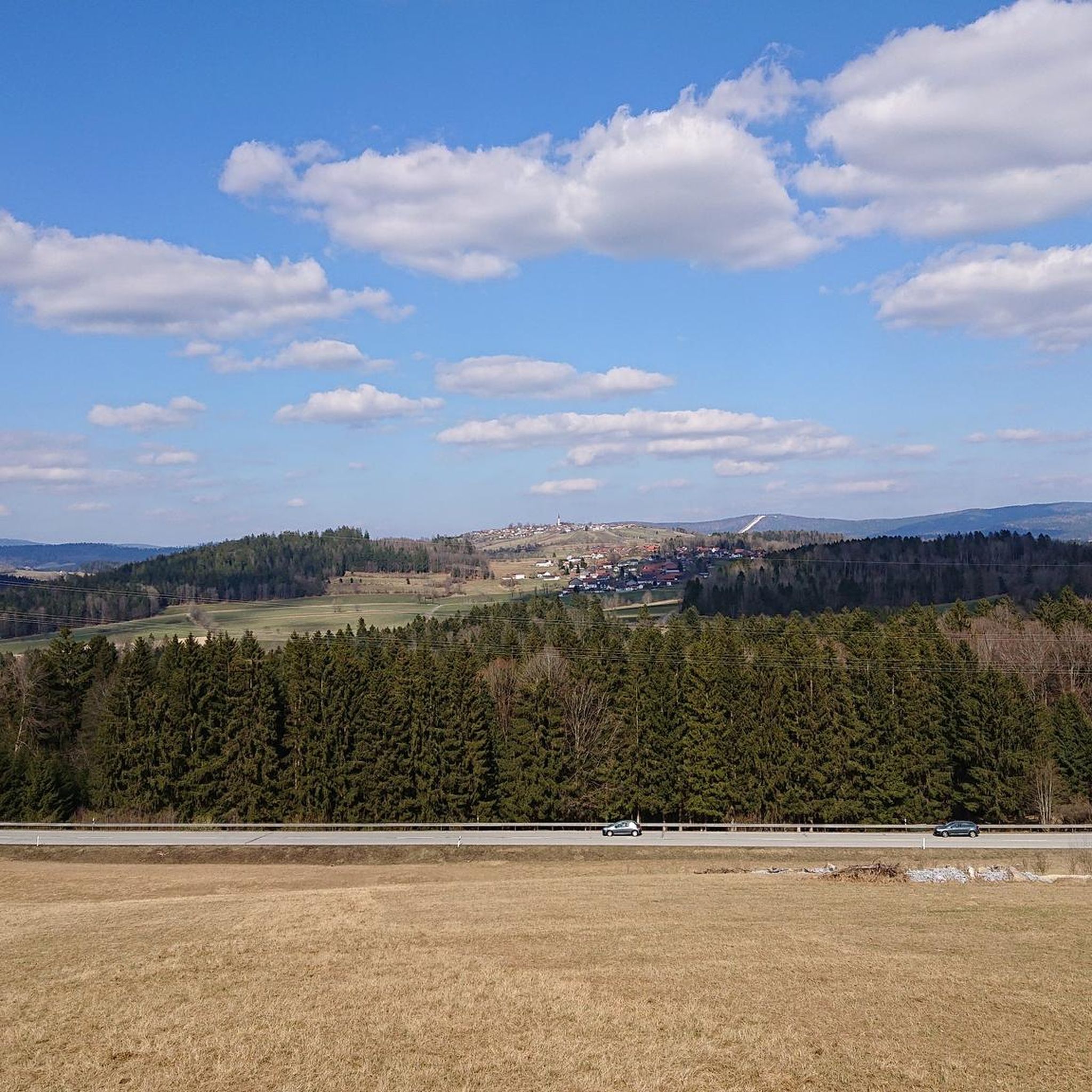
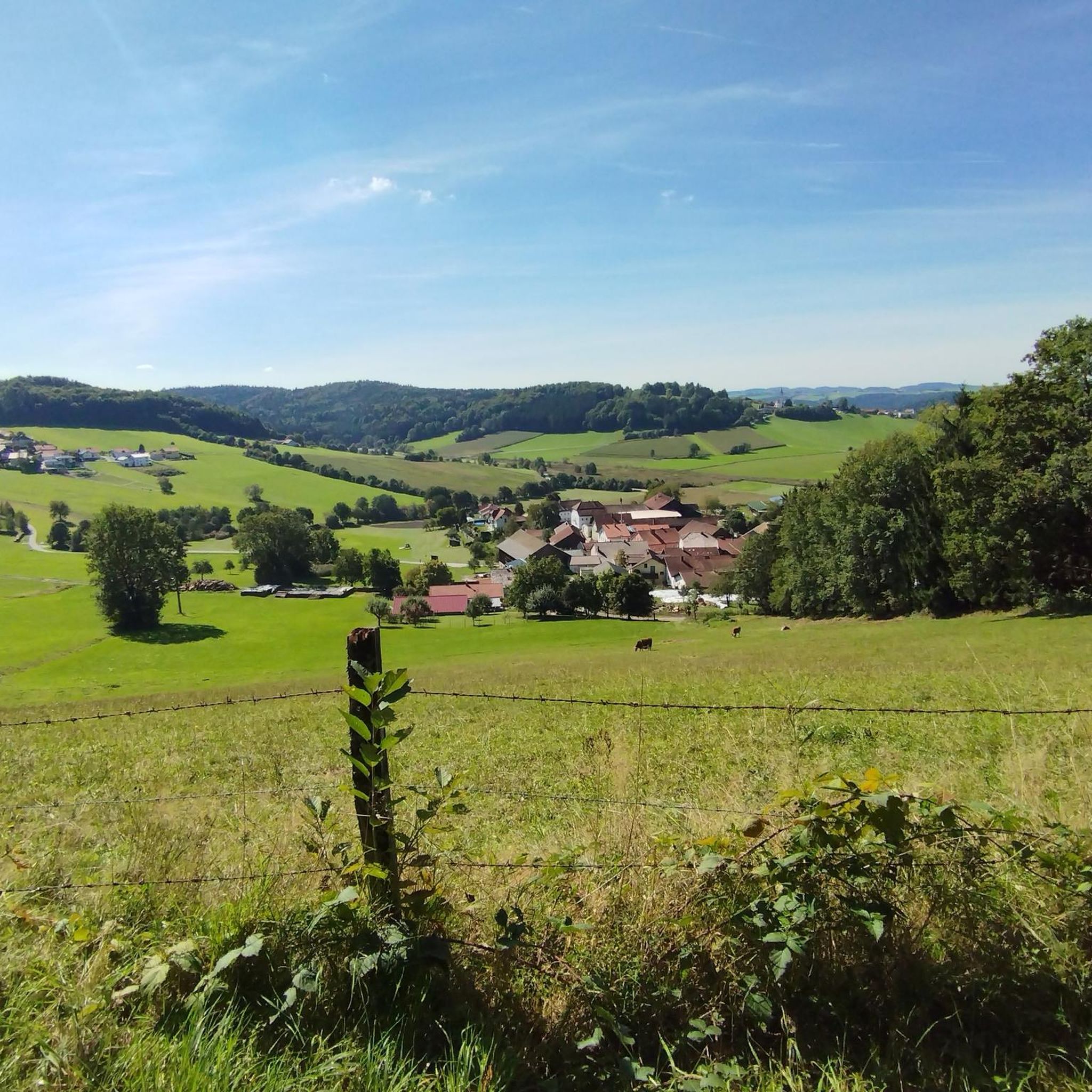
Mountaineering routes around Freyung explore the forested landscapes of the Bavarian Forest, characterized by rolling hills and moderate mountain peaks. The region features dense woodlands, clear streams, and granite formations, offering varied terrain for ascents and descents. These routes provide opportunities to experience the natural environment of Freyung-Grafenau.
Best mountaineering routes around Freyung
- The most popular mountaineering route is Lusen Summit – Lusen Shelter loop from Mauther Forst, an 8.3 miles (13.3 km) trail that takes 4 hours 27…
Last updated: July 5, 2026
13
hikers
13.3km
04:27
520m
520m
Hard mountaineering route. Good fitness required. Sure-footedness, sturdy shoes and alpine experience required.
10
hikers
10.5km
03:10
310m
310m
Moderate mountaineering route. Good fitness required. Mostly accessible paths. Sure-footedness required.

Sign up for free
5.0
(1)
9
hikers
Hard mountaineering route. Good fitness required. Sure-footedness, sturdy shoes and alpine experience required.
5.0
(2)
5
hikers
7.59km
02:21
250m
250m
Moderate mountaineering route. Good fitness required. Mostly accessible paths. Sure-footedness required.
3.0
(2)
7
hikers
16.2km
05:06
620m
620m
Hard mountaineering route. Very good fitness required. Mostly accessible paths. Sure-footedness required.
Get access to more routes and recommendations from other explorers.
Sign up for free
Already have an account?
Our route recommendations are based on thousands of hikes, rides, and runs completed by other people on komoot.
Start today with a free account
Your next adventure awaits.
Login or Signup
Popular around Freyung
Beer culture on two wheels – 8 day rides, 2 countries, 1 pulse
Hiking tips for the Bavarian Forest

No time for boredom – family hikes with a fun factor in Bayern
Hiking around Freyung
MTB Trails around Freyung
Cycling around Freyung
Running Trails around Freyung
Road Cycling Routes around Freyung
Gravel biking around Freyung
Other adventures around Freyung


Tips from the Community

beautiful path! If there is more water, it will surely be even more beautiful
0
0

Accessible wooden footbridge
0
0
Beautiful hiking trail back to the parking lot
0
0
Just enjoy the view here
0
0
beautiful nature in the Bavarian Forest
0
0
These stones mark the boundary
0
0
beautiful nature in the Bavarian Forest
0
0
The bank is a good place to take a short break 😉
0
0
Frequently Asked Questions
What kind of terrain and landscapes can I expect on mountaineering routes around Freyung?
Mountaineering routes around Freyung primarily explore the forested landscapes of the Bavarian Forest. You'll encounter rolling hills, moderate mountain peaks, dense woodlands, clear streams, and distinctive granite formations. The varied terrain offers a mix of ascents and descents.
Are there any beginner-friendly mountaineering routes in Freyung?
Yes, Freyung offers some routes suitable for beginners. For instance, the Reschbachklause – Ascent to Siebensteinkopf loop from Mauther Forst is a moderate 7.6 km trail that provides a good introduction to the region's terrain without being overly strenuous. There is one easy route and four moderate routes available in total.
What are some challenging mountaineering routes near Freyung?
For those seeking a challenge, Freyung has several difficult routes. The Lusen Shelter – Lusen Summit loop from Neuschönau is a demanding 16.2 km trail with significant elevation gain, leading to the Lusen Summit. Overall, there are eight difficult routes in the area.
Are there circular mountaineering routes available in Freyung?
Many of the mountaineering routes around Freyung are designed as loops, allowing you to start and end at the same point. An example is the Siebensteinkopf – Reschbachklause loop from Mauther Forst, which offers varied scenery through forest and along the Reschbach.
What interesting landmarks or natural features can I see along the mountaineering routes?
Several routes pass by notable landmarks. You can reach the Lusen Summit, offering panoramic views. Other points of interest include the Reschbachklause, a scenic lake, and the Teufelsloch, a unique granite boulder field with an underground stream.
What do other mountaineers enjoy the most about mountaineering in Freyung?
The mountaineering routes in Freyung are highly rated by the komoot community, with an average score of 4.7 stars. Reviewers often praise the diverse landscapes, from dense forests to mountain peaks, and the well-maintained paths that offer a rewarding outdoor experience.
Is it possible to find routes that lead to a summit?
Yes, several routes in the Freyung area lead to prominent summits. The Lusen Summit – Lusen Shelter loop from Mauther Forst is a popular option that takes you directly to the Lusen Summit, one of the region's highest points.
Are there any routes that follow rivers or streams?
Yes, some routes incorporate water features. For example, the Lovely forest trail along the Reschbach – Lusen Summit loop from Mauther Forst follows the Reschbach for a portion of its journey, offering picturesque views of the stream.
What is the best time of year for mountaineering in Freyung?
The Bavarian Forest region, including Freyung, is generally best for mountaineering from late spring through early autumn (May to October). During these months, the weather is typically milder, and trails are clear of snow, providing optimal conditions for exploring the forested landscapes and mountain peaks.
Are there any places to stop for refreshments or shelter along the routes?
Yes, some routes have facilities available. For instance, the Lusen Shelter is a notable hut located near the Lusen Summit, providing a place to rest and potentially find refreshments during your mountaineering trip.
How many mountaineering routes are there in Freyung?
There are over 10 dedicated mountaineering routes around Freyung, offering a variety of options for different skill levels and preferences. These routes are highly rated by the komoot community.
Most popular routes around Freyung
Most popular attractions around Freyung

Get inspired with the komoot mobile app


Explore more
Browse the best Mountain Hikes & Routes in other regions.
