The best running trails around Moneyvart
189
runners
16
runs
Jogging routes around Moneyvart primarily feature coastal paths and beachside promenades, offering largely flat terrain suitable for various fitness levels. The region is characterized by its proximity to the sea, providing open views and refreshing air for runners. Gentle undulations are present, but significant climbs are rare, making it accessible for steady runs and easy jogging routes near Moneyvart. The network of running trails in Moneyvart includes options for different ability levels, from easy jogging routes to more challenging long-distance…
Last updated: June 28, 2026
22
runners
9.39km
00:59
50m
50m
Moderate run. Good fitness required. Mostly paved surfaces. Suitable for all skill levels.
17
runners
8.61km
00:54
50m
50m
Moderate run. Good fitness required. Mostly paved surfaces. Suitable for all skill levels.

Sign up for free
17
runners
9.71km
01:01
70m
70m
Moderate run. Good fitness required. Mostly paved surfaces. Suitable for all skill levels.
10
runners
17.0km
01:48
150m
150m
Hard run. Very good fitness required. Mostly paved surfaces. Suitable for all skill levels.
9
runners
Moderate run. Good fitness required. Mostly paved surfaces. Suitable for all skill levels.
Get access to more routes and recommendations from other explorers.
Sign up for free
Already have an account?
Our route recommendations are based on thousands of hikes, rides, and runs completed by other people on komoot.
Start today with a free account
Your next adventure awaits.
Login or Signup
Popular around Moneyvart
Tips from the Community

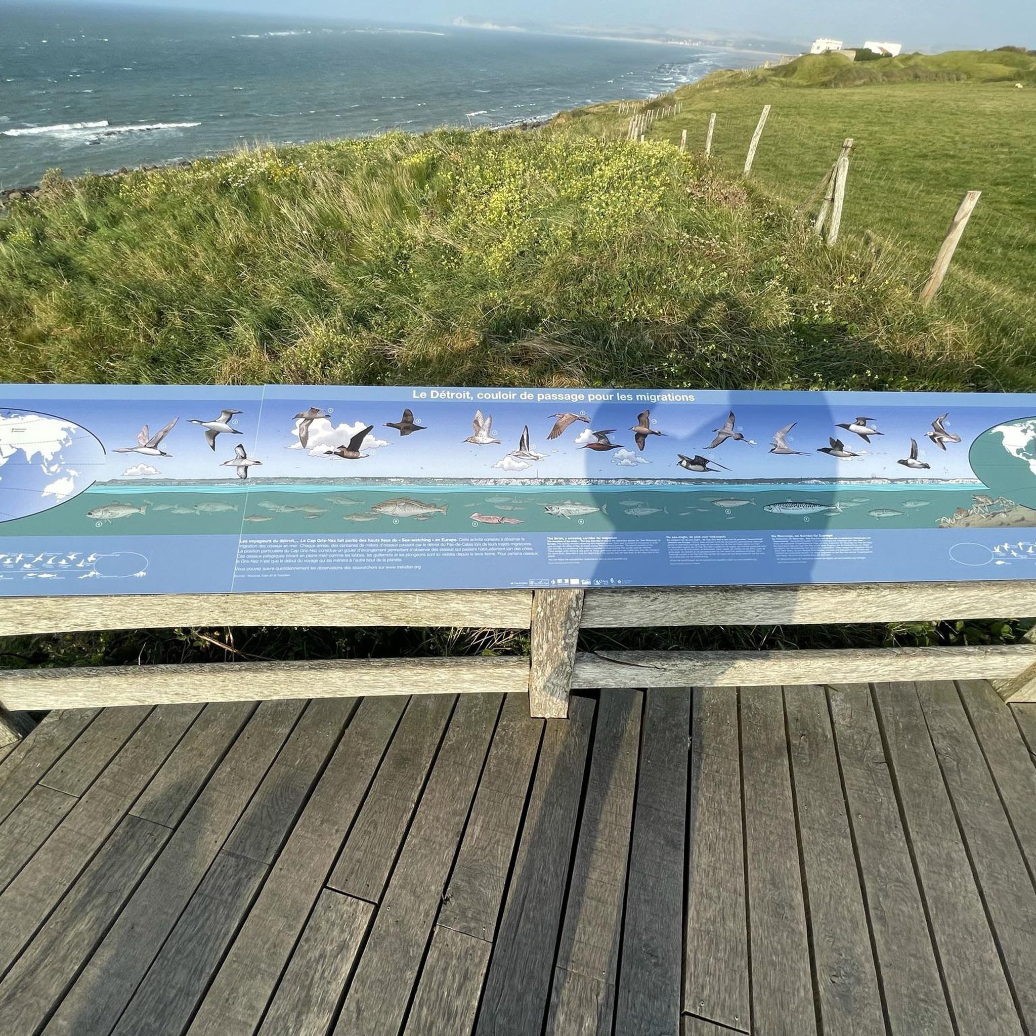
For walkers, Waterfoot is a pleasant alternative to the main road, as it passes close to the beach and behind the dunes, with beautiful views and no traffic.
1
0
Nice promenade with tables and a nice walk in front of the beach. It is dangerous to swim but the view is nice.
1
0

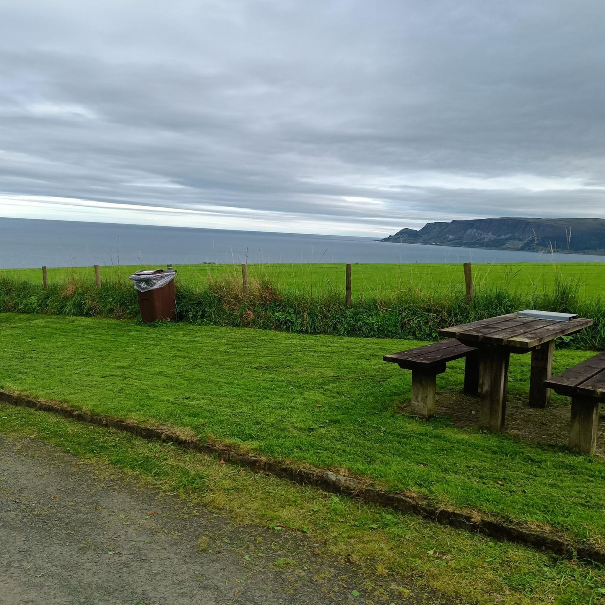
Good beach in front of the quiet and quaint village of Waterfoot. great views across the water to Scotland and a pub in the village for refreshments.
1
0
Small coastal town with a few good pubs for refreshments. Main attraction is the wonderful beach and the grat views though.
0
1
Frequently Asked Questions
How many running trails are available in Moneyvart?
Moneyvart offers a good selection of running routes, with over 15 trails to choose from. These routes cater to various preferences, from easy jogs to more challenging runs.
What kind of terrain can I expect on Moneyvart's jogging routes?
The jogging routes around Moneyvart primarily feature coastal paths and beachside promenades. The terrain is largely flat, offering open views and refreshing air. While gentle undulations are present, significant climbs are rare, making most routes accessible for steady runs.
Are there easy running routes suitable for beginners in Moneyvart?
Yes, Moneyvart has several easy running routes perfect for beginners. The region's coastal paths and promenades are generally flat and well-suited for those new to running or looking for a relaxed jog. There are 3 easy routes available, with many moderate options also being quite accessible.
What are some of the most scenic running routes in Moneyvart?
For scenic coastal views, consider the Waterfoot Beach – Waterfoot Beach loop from Waterfoot, which is a popular choice. Another beautiful option is the Waterfoot Beach – Cushendall Beach Promenade loop from Cushendall, connecting two picturesque beach areas.
Are there any circular running routes in Moneyvart?
Yes, many of the running routes in Moneyvart are designed as loops, offering convenient circular paths. For example, the Cushendall Beach Promenade – Layd Church Ruins and Cemetery loop from Cushendall provides a scenic circular run past historical sites.
What do other runners enjoy the most about jogging in Moneyvart?
The running routes in Moneyvart are highly rated by the komoot community, with an average score of 5.0 stars. Runners often praise the stunning coastal views, the refreshing sea air, and the generally flat, accessible terrain that makes for enjoyable runs.
Are there any historical or natural landmarks along the running routes?
Yes, several routes offer glimpses of local landmarks. For instance, the Cushendall Beach Promenade – Layd Church Ruins and Cemetery loop from Cushendall takes you past historical sites. Nearby attractions include the Inver River Waterfall and the Cushendun Caves, which can be explored as part of a longer outing.
What are the typical distances for running routes in Moneyvart?
The running routes in Moneyvart vary in length. You can find shorter options, such as the 3.9-mile (6.3 km) Cushendall Beach Promenade – Layd Church Ruins and Cemetery loop, up to longer runs like the 10.6-mile (17.1 km) Waterfoot Beach – Waterfoot Beach loop from Cushendall, offering options for different training goals.
Can I find routes that connect different beach areas?
Absolutely. Moneyvart's coastal location means many routes connect its beautiful beaches. The Cushendall Beach Promenade – Waterfoot Beach loop from Cushendall is a great example, allowing you to run between these two scenic spots.
Are the running trails in Moneyvart suitable for families?
Given the predominantly flat coastal paths and promenades, many of Moneyvart's running routes are suitable for families, especially those with children who are comfortable with longer walks or gentle jogs. The accessible terrain makes it a pleasant experience for all.
Is parking generally available near the trailheads in Moneyvart?
While specific parking details vary by trailhead, Moneyvart, being a coastal area with popular beaches and villages, generally offers public parking options near main access points to its running routes, particularly in areas like Waterfoot and Cushendall.
Most popular routes around Moneyvart
Most popular attractions around Moneyvart

Get inspired with the komoot mobile app


Explore more
Browse the best Running Trails & Routes in other regions.
