The best running trails around Sonnenbühl
4.4
(75)
750
runners
119
runs
Jogging routes around Sonnenbühl traverse a diverse natural landscape, characterized by the Swabian Jura. The region offers varied terrain, including forest and meadow paths, suitable for different fitness levels. Runners can find routes with minimal elevation gain as well as more demanding paths with significant elevation changes. This area provides a natural environment for running amidst impressive mountain peaks and scenic viewpoints.
Best jogging routes around Sonnenbühl
- The most popular jogging route is Rossberg Meadow – Rossberg Viewpoint loop from…
Last updated: June 29, 2026
4.8
(4)
128
runners
19.9km
02:29
660m
660m
Hard run. Very good fitness required. Sure-footedness, sturdy shoes and alpine experience required.
13
runners
19.3km
02:27
570m
570m
Hard run. Very good fitness required. Sure-footedness, sturdy shoes and alpine experience required.

Sign up for free
4.0
(2)
16
runners
6.83km
00:43
60m
60m
Moderate run. Good fitness required. Mostly paved surfaces. Suitable for all skill levels.
5.0
(2)
10
runners
6.57km
00:42
110m
110m
Moderate run. Good fitness required. Mostly paved surfaces. Suitable for all skill levels.
12
runners
5.17km
00:33
60m
60m
Moderate run. Good fitness required. Mostly paved surfaces. Suitable for all skill levels.
Get access to more routes and recommendations from other explorers.
Sign up for free
Already have an account?
Our route recommendations are based on thousands of hikes, rides, and runs completed by other people on komoot.
Start today with a free account
Your next adventure awaits.
Login or Signup
Popular around Sonnenbühl
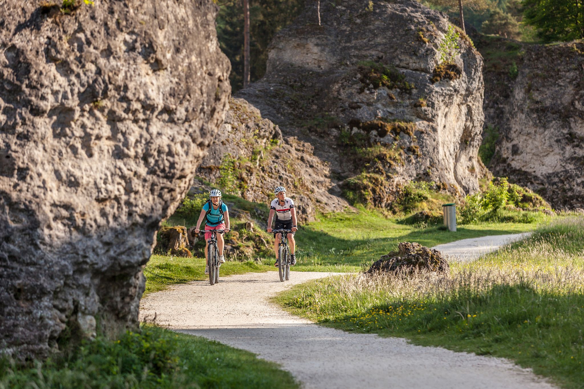
Experience nature by bike in the Swabian Jura
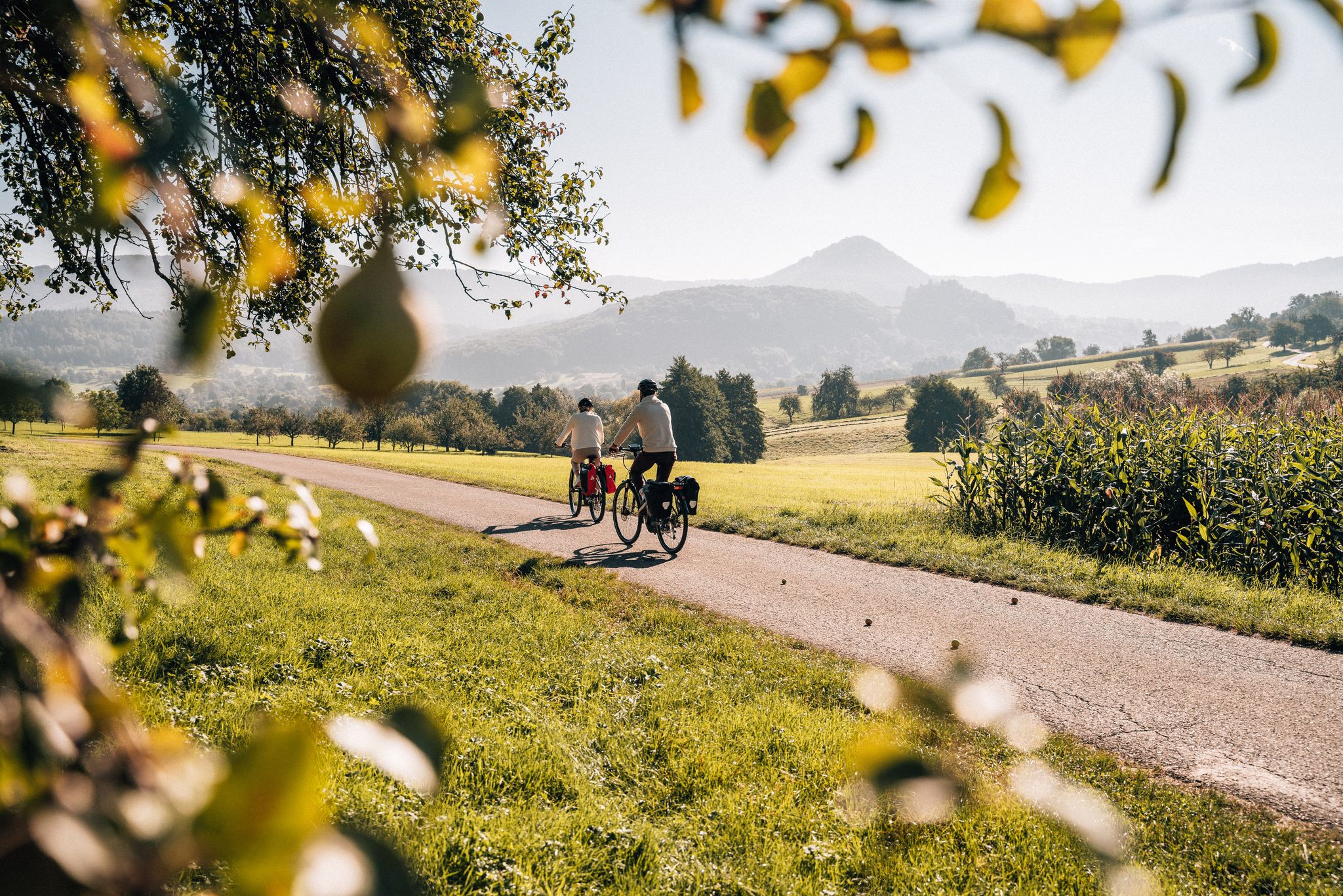
Cycle the Swabian Alb Cycle Path to Lake Constance
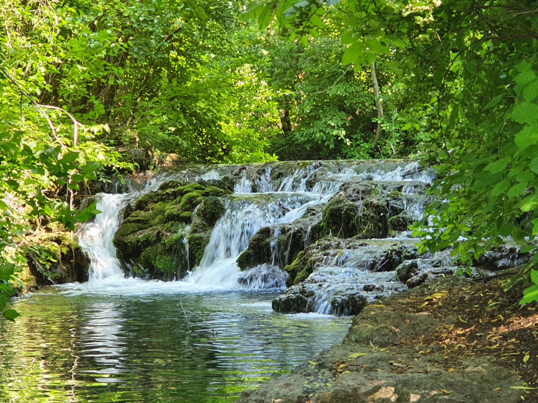
Explore the myths of the Swabian Alb – 20 fantastic bike Tours
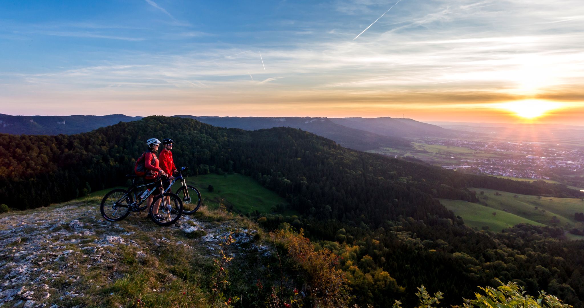
Alb-Crossing in Germany – traversing the Swabian Alb by bike
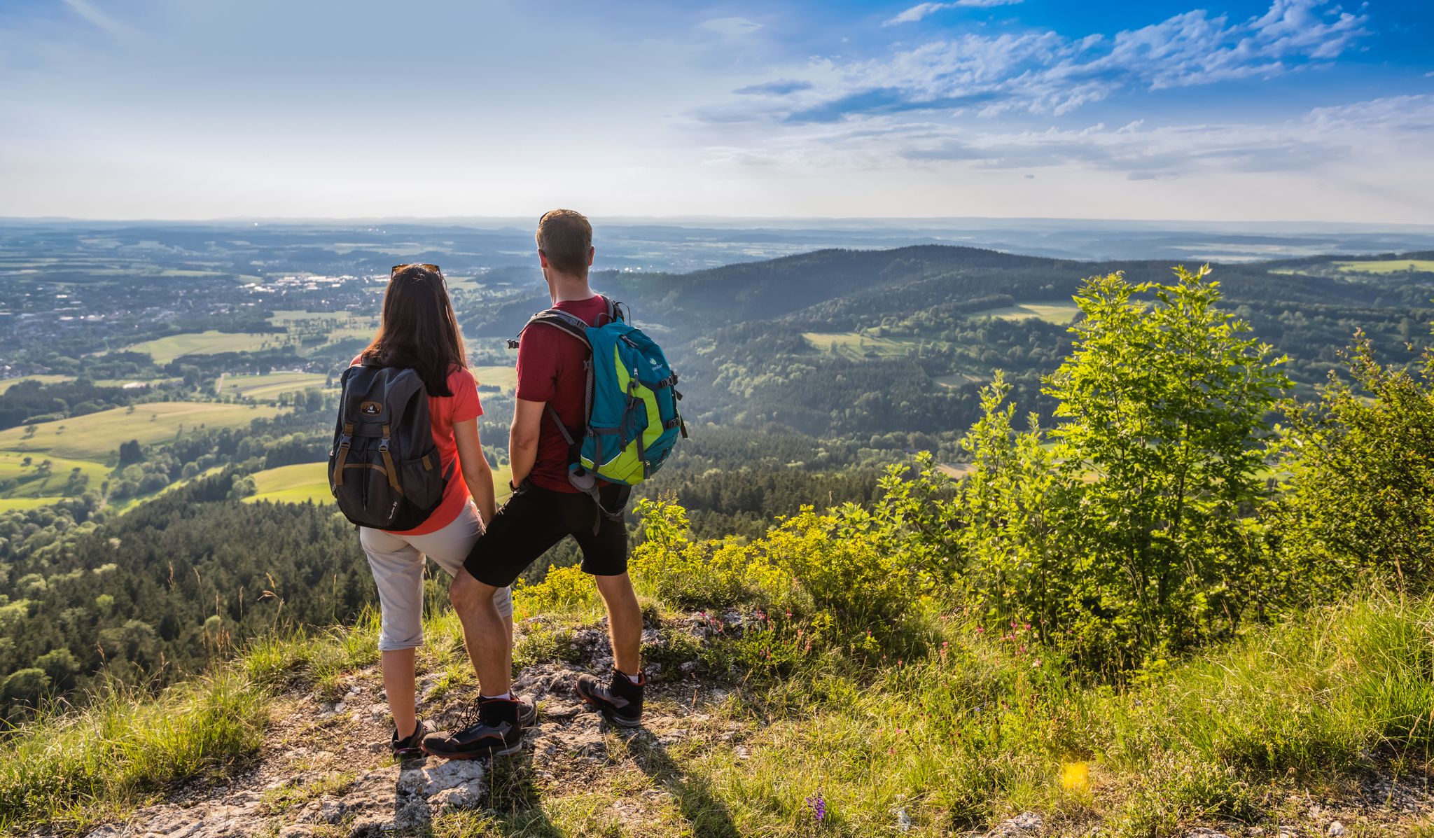
The Swabian Albsteig (HW1) – 16 stages of panoramic views
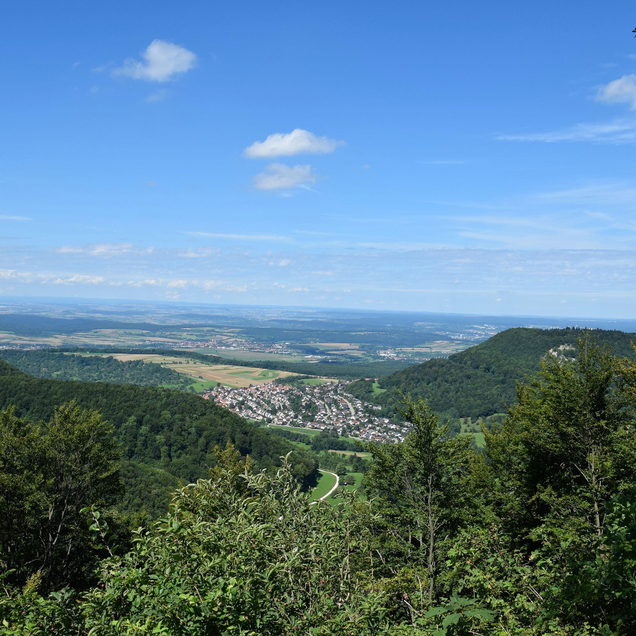
Hiking around Sonnenbühl
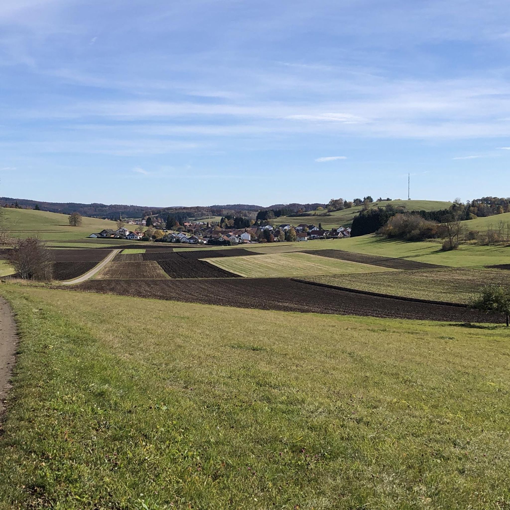
Cycling around Sonnenbühl
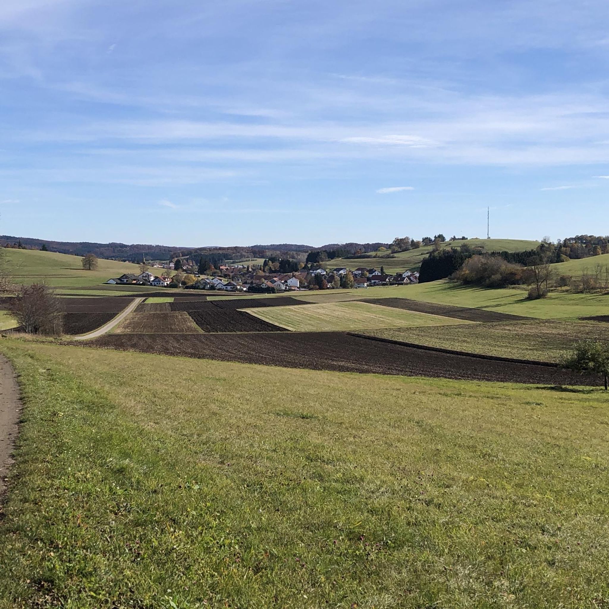
MTB Trails around Sonnenbühl

Road Cycling Routes around Sonnenbühl
Gravel biking around Sonnenbühl
Other adventures around Sonnenbühl

Tips from the Community

North of Sonnenbühl in the Swabian Jura (district of Reutlingen) are well-preserved entrenchments from the War of the Spanish Succession (1701–1714). The historical relics, which include the Roßberg and BtotalPageschanze entrenchments, were built in 1703 by Württemberg troops as part of a defensive line.
5
0

Beautiful path 🏞 - Between the town and AP Kalkofen - Mössingen-Öschingen - LKR. Tübingen
0
0
Beautiful view from the AP Quenstedt monument 🗿 - Roßberg 869.6 m a.s.l. ⛰ - Reutlingen-Gönningen - LKR. Reutlingen Just to enjoy 🤩👍
0
0
Roßberg Tower and Roßberg House The Roßbergturm is the 28 m high observation tower on the Roßberg. On its top, the tower, built in reinforced concrete, carries an antenna mast for BOS radio communication. A hikers' lodge is integrated into the tower. On each floor of the tower, there is one or more rooms with simple overnight accommodation. In the lower part of the tower, a restaurant is housed. Tower and hikers' lodge were built as a jubilee tower for the 25th anniversary of the Schwäbischer Albverein and inaugurated on September 28, 1913. The design and construction management were carried out by the Stuttgart architect Karl Schweizer, and the reinforced concrete construction was executed by the company Ludwig Bauer from Stuttgart-Bad Cannstatt. At that time, the summit was less densely wooded. Originally, the entire hikers' lodge was located in the tower; in the 1930s and 1960s, the facility was expanded with annexes, and in 1982 it was renovated again. The road leading up to the tower, called Roßbergsteige, was built in 1934. From the top of the tower, one can look out over the Swabian Jura (Schwäbische Alb) and its foreland. To the west, the view extends to the Black Forest (Schwarzwald), to the north to the Schönbuch and the Stuttgart TV Tower. To the northeast, on the Albtrauf escarpment, the Hohenstaufen and the Hohenneuffen ruins can be seen among other landmarks. In good visibility conditions, the peaks of the Northern Alps can be seen to the south. The Alpine panorama begins in the southeast with the Wetterstein Mountains including the Zugspitze and stretches across the Tannheimer Berge, Allgäuer Alpen, Lechquellengebirge, Rätikon, Alpstein, and Glarner Alpen to the Tödi in the south. Occasionally, mountains of the Central Alps can also be seen, for example, the 3496 m high Schrankogel in the Stubai Alps, which is 212 km away. Source: https://de.wikipedia.org/wiki/Ro%C3%9Fberg_(Schw%C3%A4bische_Alb)
0
0
View of the Roßbergwiesen with the Roßbergwiesen hiking parking lot - Östliche Roßbergwiesen 770 m. above sea level - Reutlingen-Gönningen - LKR. Reutlingen
0
0
View The Roßberg, together with the Roßfeld, forms the furthest promontory of the Swabian Alb. Accordingly, the view of the Alb escarpment extends in two directions: To the northeast, first to the Pfullinger Berg with the Gielsberg, then to Wanne and Schönberg, onward to the Urselberg, and finally to the Achalm, Teck, and, in the far distance, to the Hohenstaufen. To the southwest lies the Filsenberg with the Meisenbühl on top, in close proximity, above it the Farrenberg, to the left of which is the Hirschkopf with its massive landslide, then the Dreifürstenstein – followed by Hohenzollern with the Raichberg – and finally, as the last mountain range, the Lochenhörnle and Lochenstein, as well as the Schafberg and Plettenberg. The expansive views into the Alb foothills are impressive. At the foot of the mountain, to the northeast, lie Reutlingen and Pfullingen, to the north Tübingen with its satellite settlements on the Waldhäuser Höhe, and to the west Mössingen. In the south, Steinhilben rises seemingly to the clouds on a wave of the undulating highlands. On a clear day, a large section of the Alps is visible in the distance. Fantastic sunsets and sunrises are frequent. Even at night, the view of the sea of lights is a breathtaking experience. Source: https://tuerme-wanderheime.albverein.net/aussichtstuerme/rossbergturm/#%C2%A7%201
1
0
From the western edge of the Filsenberg Nature Reserve, you have a beautiful view of the Mössinger Früchtetrauf (Fruit Trauf). The panoramic view extends along the Albtrauf to the far landscape of the Swabian Alb. Several seating areas offer a place to rest or simply enjoy the magnificent view.
8
0
At 880.8 meters above sea level, the Bolberg is the highest point in the Reutlingen district. From here, you can also enjoy a fantastic panoramic view along the Albtrauf, the area before the Swabian Alb, as well as the Schönbuch and the foothills of the Northern Black Forest.
5
0
Frequently Asked Questions
How many running routes are available in Sonnenbühl?
Sonnenbühl offers a wide selection of running trails, with over 120 routes available for you to explore. These routes cater to various fitness levels and preferences.
What kind of terrain can I expect on the running trails in Sonnenbühl?
The running trails in Sonnenbühl traverse a diverse natural landscape, characteristic of the Swabian Jura. You can expect a mix of forest and meadow paths, with terrain ranging from mostly paved surfaces to more accessible paths that may require some sure-footedness. The region features impressive mountain peaks and scenic viewpoints, offering varied challenges and beautiful scenery.
Are there running routes suitable for beginners or those looking for an easier run?
Yes, Sonnenbühl has options for all skill levels. There are 13 easy running routes available, typically shorter loops with minimal elevation gain, perfect for beginners or a relaxed jog. An example is the Running loop from Genkingen, which is 3.2 miles (5.1 km) long.
What about more challenging running options in Sonnenbühl?
For experienced runners seeking a challenge, Sonnenbühl offers 18 difficult routes with significant elevation changes. These include longer runs exceeding 10 miles or 1000 feet of elevation gain. A notable difficult route is the Rossberg Meadow – Rossberg Viewpoint loop from Ruchberg, a 12.1 miles (19.4 km) trail with over 600 meters of ascent.
Are there scenic running routes with good viewpoints in Sonnenbühl?
Absolutely. Many running routes in Sonnenbühl feature stunning viewpoints across the Swabian Jura. The Rossberg Viewpoint – Teufelsloch Viewpoint loop from Undingen is a great example, offering multiple scenic vistas. You can also find highlights like Wackerstein, known for spectacular views over Reutlingen and Tübingen, and the View from Dreifürstenstein.
Can I find running routes near natural caves in Sonnenbühl?
Yes, Sonnenbühl is home to unique natural caves that can be explored. Some running routes pass near these attractions. For instance, the Sommerkirch Cave – Köbele loop from Erpfingen is a moderate route that brings you close to a cave. The Sonnenbühl fog cave (Nebelhöhle) and the Bärenhöhle Sonnenbühl (Bear Cave) are significant natural attractions in the area.
Are there loop running trails in Sonnenbühl?
Many of the running trails in Sonnenbühl are designed as loops, providing convenient starting and ending points. For example, the Haug Bakery – Rinnental-Flossa-Home loop from Undingen is a popular 4.4-mile (7.0 km) loop through varied forest and meadow paths.
What do other runners say about the trails in Sonnenbühl?
The running routes in Sonnenbühl are highly rated by the komoot community, with an average score of 4.3 stars from over 70 reviews. More than 700 runners have used komoot to explore the area, often praising the diverse terrain, scenic viewpoints, and the natural environment for their runs.
Are there family-friendly running routes in Sonnenbühl?
While specific 'family-friendly' designations aren't always given, many of the 13 easy and 89 moderate routes in Sonnenbühl are suitable for families. These often feature shorter distances and less elevation gain, making them enjoyable for a wider range of ages and fitness levels. Look for routes with mostly paved or accessible paths.
Can I bring my dog on the running trails in Sonnenbühl?
Generally, dogs are welcome on most outdoor trails in the region. However, it's always recommended to keep your dog on a leash, especially in nature reserves, near wildlife, or when passing through agricultural areas. Please be mindful of local regulations and other trail users.
What other attractions are near the running routes in Sonnenbühl?
Beyond the running trails, Sonnenbühl offers several notable attractions. Wackerstein is a spectacular viewpoint. The region is also close to the magnificent Lichtenstein Castle, which offers splendid views and has a castle restaurant. Additionally, the Dreamland on the Bear Cave (Traumland auf der Bärenhöhle) is a recreational attraction located in Sonnenbühl.
Are there running routes that pass by historical landmarks?
While the primary focus of the running routes is natural beauty, the region's history is ever-present. Lichtenstein Castle, a prominent historical landmark, is located nearby and offers splendid views that can be enjoyed after a run. Some routes might offer distant views of such historical sites or pass through areas with historical significance.
Most popular routes around Sonnenbühl
Most popular attractions around Sonnenbühl

Get inspired with the komoot mobile app


Explore more
Browse the best Running Trails & Routes in other regions.
