The best road cycling routes around Galboly Lower
5.0
(2)
451
riders
24
rides
Road cycling around Galboly Lower is characterized by its location within the scenic Antrim Coast, offering a diverse terrain for cyclists. The region is nestled in the Glens of Antrim, specifically Glencloy Valley, with the Garron Plateau rising above and the Irish Sea below. This landscape features rolling hills, dramatic coastal drops, and mostly well-paved surfaces suitable for road cycling. Coastal paths and basalt plateaus further define the unique geological character of the area.
Best road cycling routes around Galboly…
Last updated: July 12, 2026
5.0
(1)
79
riders
77.7km
03:20
400m
400m
Moderate road ride. Good fitness required. Mostly well-paved surfaces and easy to ride.
10
riders
72.5km
03:19
780m
780m
Moderate road ride. Good fitness required. Some segments of this route may be unpaved and difficult to ride.

Sign up for free
10
riders
39.8km
01:57
540m
540m
Moderate road ride. Good fitness required. Some segments of this route may be unpaved and difficult to ride.
8
riders
99.0km
04:42
1,090m
1,090m
Hard road ride. Very good fitness required. Mostly well-paved surfaces and easy to ride.
5
riders
84.4km
03:58
1,040m
1,040m
Hard road ride. Very good fitness required. Mostly well-paved surfaces and easy to ride.
Get access to more routes and recommendations from other explorers.
Sign up for free
Already have an account?
Our route recommendations are based on thousands of hikes, rides, and runs completed by other people on komoot.
Start today with a free account
Your next adventure awaits.
Login or Signup
Popular around Galboly Lower
Tips from the Community

Not as impressive in nature anymore, some trees or branches have been removed.
0
0

The tower is an exact replica of an Irish round tower and is 27 m high and 7.5 m wide at the base.
2
0

The Chaine Memorial Tower, or "The Pencil" as it is known locally, is an impressive lighthouse made of Irish granite, built in 1887 as a memorial to James Chaine, the developer of Larne Harbour. The tower was converted into a lighthouse by the Commissioners of Irish Lights in March 1899.
3
0
Shop with a good selection of whiskeys
3
0


Avoid this road unless you have a light racing bike and are called Tadej Pogacar. Gradient gets up to 17%. Great view though!
0
0

For walkers, Waterfoot is a pleasant alternative to the main road, as it passes close to the beach and behind the dunes, with beautiful views and no traffic.
1
0
Frequently Asked Questions
What kind of terrain and elevation can I expect when road cycling around Galboly Lower?
The region offers a diverse landscape for road cycling, characterized by rolling hills, lush greenery, and dramatic drops to the Irish Sea. You'll find mostly well-paved surfaces. Routes can feature significant elevation gains, with some climbs exceeding 3,000 feet, catering to good to very good fitness levels. The area is nestled in the Glens of Antrim, with the Garron Plateau rising above, providing challenging ascents and rewarding descents.
Are there road cycling routes suitable for different fitness levels in Galboly Lower?
Yes, Galboly Lower offers a range of road cycling routes catering to various fitness levels. Out of 27 available routes, you'll find 2 easy, 16 moderate, and 9 difficult options. This variety ensures that both casual riders and experienced cyclists can find a suitable challenge.
What landmarks or viewpoints can I see while cycling around Galboly Lower?
Road cycling routes in the area offer stunning coastal views and pass by several notable landmarks. You might cycle past historic Carnlough Harbour, or enjoy views towards Torr Head Coastal Road. The dramatic landscape includes the towering Pinnacles and the scenic Antrim Coast Road (A2) itself, providing breathtaking vistas of the rugged coastline and the Irish Sea.
Are there any waterfalls along the road cycling routes in Galboly Lower?
While road cycling routes primarily focus on the coastal and inland roads, several natural attractions, including waterfalls, are nearby. You could explore Inver River Waterfall or Ess-na-Laragh Waterfall, which are accessible from the area and make for interesting detours or post-ride explorations.
When is the best time of year to go road cycling in Galboly Lower?
The Antrim Coast, including Galboly Lower, is beautiful year-round, but for road cycling, spring to early autumn (April to October) generally offers the most favorable weather conditions. During these months, you can expect milder temperatures and less rainfall, making for more enjoyable rides along the scenic coastal and inland routes.
Is there parking available for cyclists in Galboly Lower or nearby?
While specific designated cyclist parking areas in Galboly Lower are not detailed, the surrounding towns and villages along the Antrim Coast Road, such as Waterfoot or Carnlough, typically offer public parking facilities. These locations often serve as starting points for many of the region's cycling routes.
How can I reach Galboly Lower by public transport for a cycling trip?
Public transport options to Galboly Lower itself may be limited due to its secluded nature. However, the Antrim Coast Road (A2) is served by bus routes connecting larger towns like Larne, Carnlough, and Ballycastle. You may need to plan your journey to a nearby town and cycle from there, or consider bringing your bike on public transport where permitted.
Are there family-friendly road cycling routes in the Galboly Lower area?
While many routes in the Galboly Lower area are rated moderate to difficult due to elevation, there are 2 routes classified as easy. These easier options might be more suitable for families or those looking for a less strenuous ride. Always check the route details for distance and elevation to ensure it matches your family's capabilities.
What do other road cyclists enjoy most about road cycling in Galboly Lower?
The area is highly rated by the komoot community, with an average score of 5.0 stars. Cyclists frequently praise the rugged coastal beauty, the challenging climbs, and the diverse terrain that offers a rich experience. The stunning views of the Irish Sea and the Glens of Antrim are often highlighted as key attractions.
Can I cycle to the historic Hidden Village of Galboly?
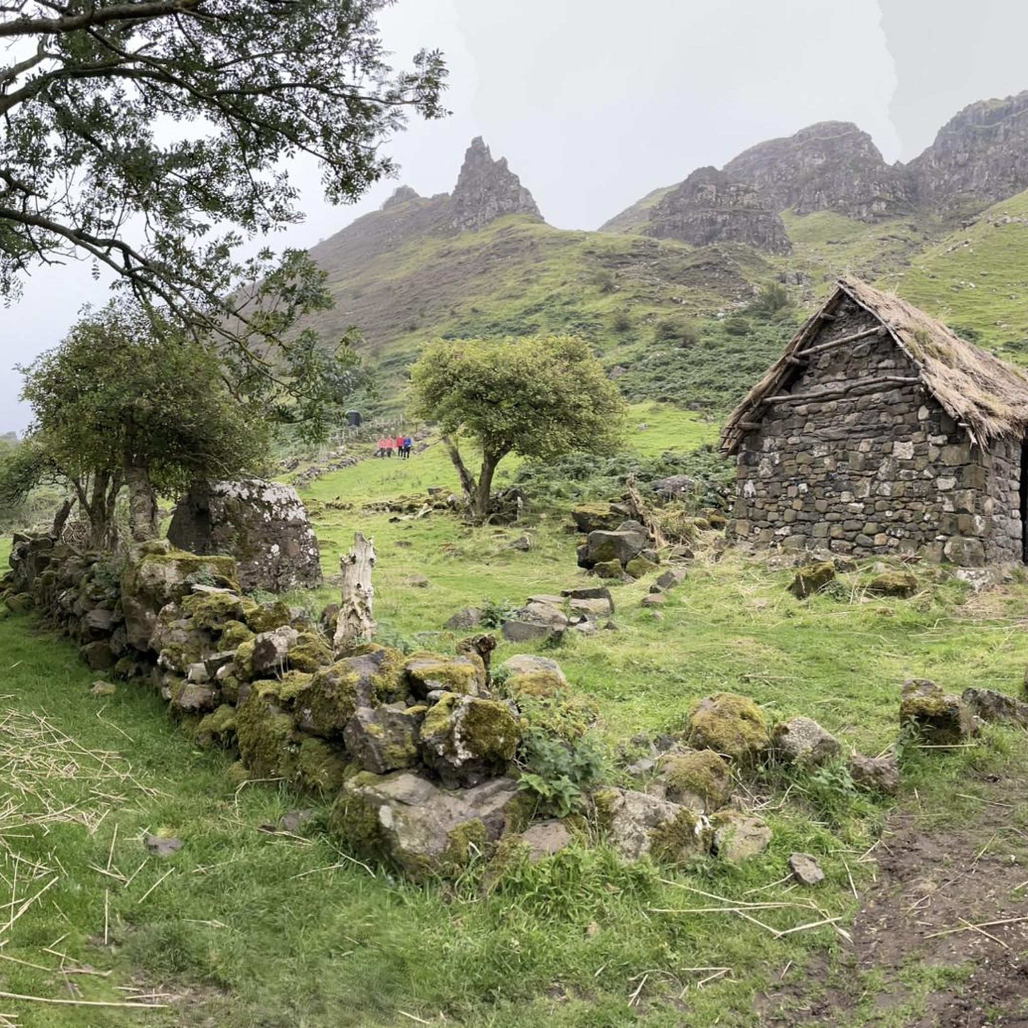
The Hidden Village of Galboly is a poignant historical site known for its derelict stone cottages. While the village itself is a fascinating place to explore on foot, access directly by road bike might be challenging due to its 'hidden' nature and the type of paths leading to it. It's best to plan to park nearby and walk the final stretch to experience this unique historical attraction, which also served as a filming location for 'Game of Thrones'.
Are there circular road cycling routes available around Galboly Lower?
Yes, many of the road cycling routes in the Galboly Lower area are designed as loops, offering a convenient way to explore the region without retracing your steps. Examples include the Glenarm Castle – Carnlough Harbour loop from Waterfoot and the Glenariff Descent – Glenarm Castle loop from Waterfoot, allowing you to start and finish in the same location.
Are there places to eat or stay near the cycling routes in Galboly Lower?
While Galboly Lower itself is a secluded area, the nearby towns and villages along the Antrim Coast Road, such as Carnlough or Waterfoot, offer various amenities. You can find cafes, pubs, and accommodation options in these communities, providing convenient stops for refreshments or overnight stays during your cycling trip.
Most popular routes around Galboly Lower
Most popular attractions around Galboly Lower

Get inspired with the komoot mobile app


Explore more
Browse the best Road cycling routes in other regions.
