The best walks and hikes around Beltoy
4.7
(62)
1,003
hikers
42
hikes
Hiking around Beltoy offers a diverse landscape, characterized by coastal paths, forest trails, and reservoir loops. The region features varied terrain, from gentle gradients suitable for easy walks to more challenging routes with moderate elevation changes. These trails provide opportunities to explore both wooded areas and scenic coastal environments.
Best hiking trails around Beltoy
- The most popular hiking route is Causeway Coast and Glens - 7 - Woodburn Forest, a 3.7 miles (6.0 km) trail that takes 1 hour…
Last updated: June 25, 2026
5.0
(7)
29
hikers
9.64km
02:40
160m
160m
Moderate hike. Good fitness required. Easily-accessible paths. Suitable for all skill levels.
5.0
(2)
36
hikers
6.01km
01:36
70m
70m
Hike the easy 3.7-mile Woodburn Forest loop, gaining 229 feet of elevation through peaceful woodlands and past a waterfall.

Sign up for free
20
hikers
8.73km
02:20
100m
100m
Moderate hike. Good fitness required. Easily-accessible paths. Suitable for all skill levels.
13
hikers
3.84km
01:01
40m
40m
Easy hike. Great for any fitness level. Easily-accessible paths. Suitable for all skill levels.
4.0
(2)
13
hikers
12.0km
03:10
110m
110m
Moderate hike. Good fitness required. Easily-accessible paths. Suitable for all skill levels.
Get access to more routes and recommendations from other explorers.
Sign up for free
Already have an account?
Our route recommendations are based on thousands of hikes, rides, and runs completed by other people on komoot.
Start today with a free account
Your next adventure awaits.
Login or Signup
Popular around Beltoy
Tips from the Community


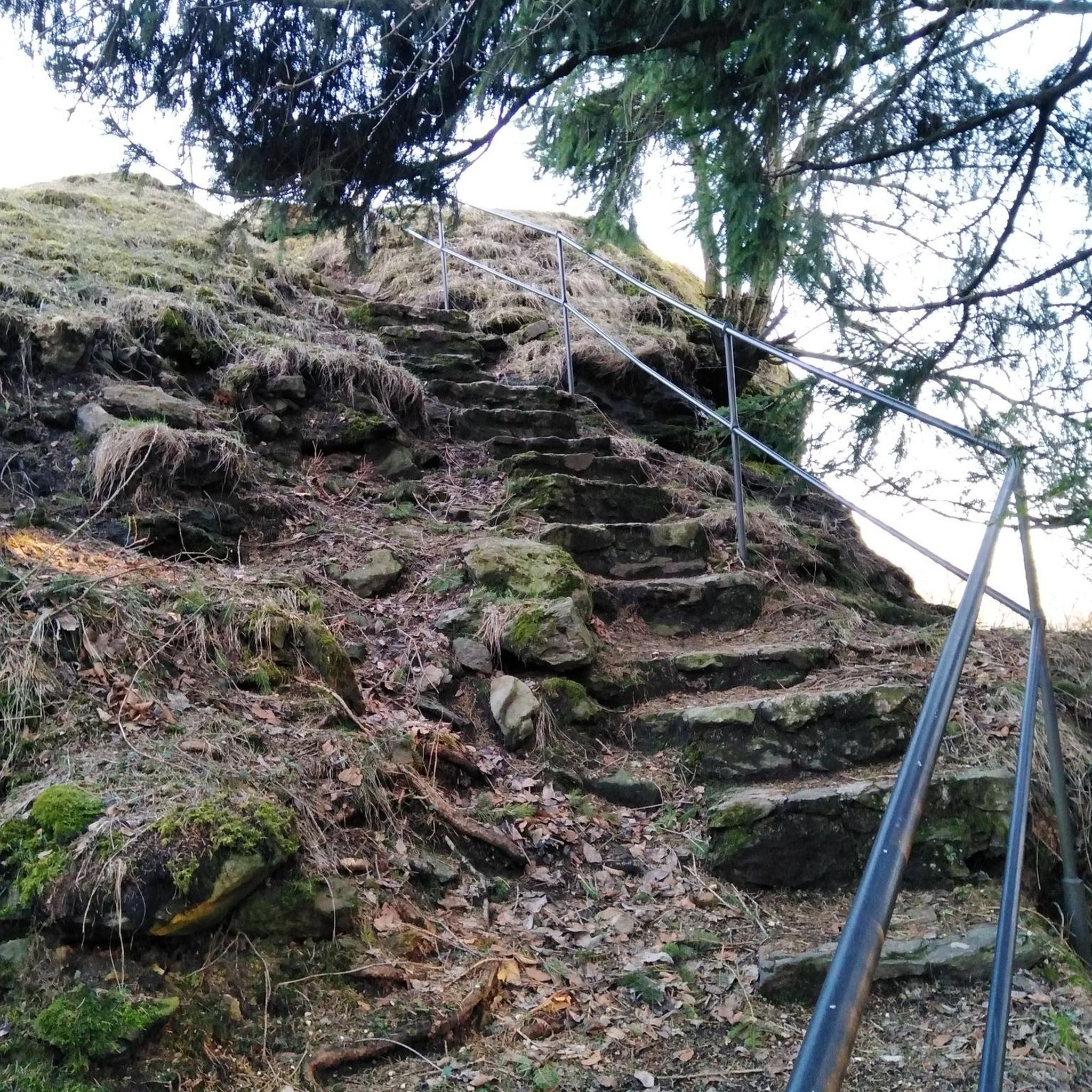
About the closest to a via ferrata you will find in Ireland. Slightly adventurous path for those not used to it at all, but from a sportive perspective rather boring for mountaineers. The landscape and views are great though and still worth it. Downside is that you need to go for a guided tour here.
4
1

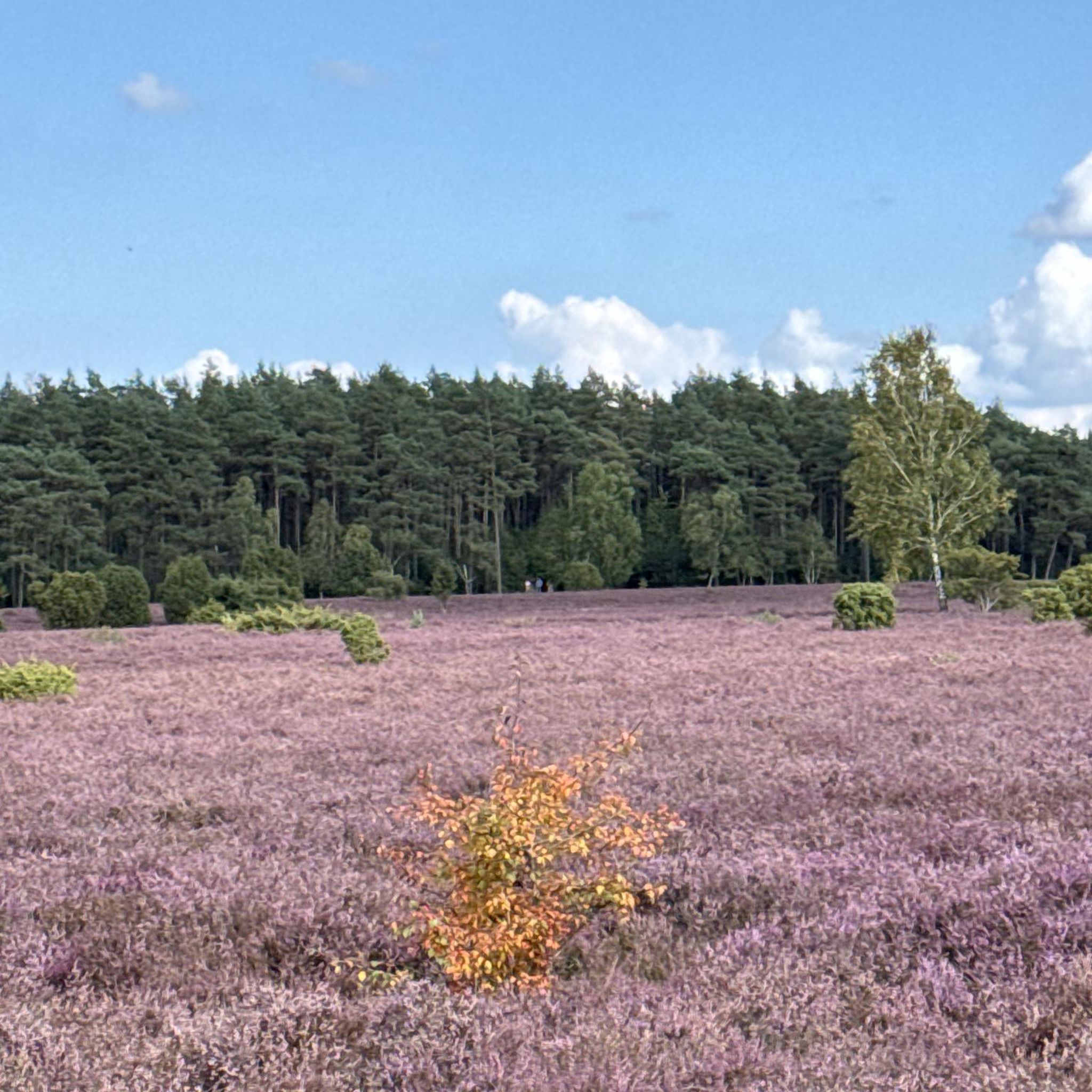
Woodburn Forest is a picturesque woodland area west of Carrickfergus, renowned for its diverse flora and fauna. Popular among hikers, it offers scenic trails, serene reservoirs, and abundant wildlife.
0
0

Islandmagee is steeped in history and features rolling hills, quiet villages and a dramatic coastline. Its great cycling, for such a small wee Island it packs a punch, with vistas at every turn. You can walk the spectacular limestone cliffs of the Gobbins or stroll along the sandy beach at Brown’s Bay. Spot seals and seabirds by the harbour of Portmuck. And take in the views across the Irish Sea at Skernaghan, Islandmagee’s northernmost point.
0
0

An absolute highlight is the visit to the "Gibbons Cliffpath" (only possible with prior registration)
1
0
You have to register here. Visiting the Gobbins Cliffpath is only possible with a guide. The visitor center also gives a good insight into the topic.
2
0
Just 20 miles from Belfast, this coastal path meanders along the basalt cliffs just above the Irish Sea and was originally built over 100 years ago. However, the path was closed in 1954 after the long-term effects of the economic crisis of the 1930s and the lack of material after World War II made the operation of this unique tourist attraction impossible. Now the Coastal Path has undergone a major refurbishment and is one of the most popular attractions on the Causeway Coastal Route.
3
0

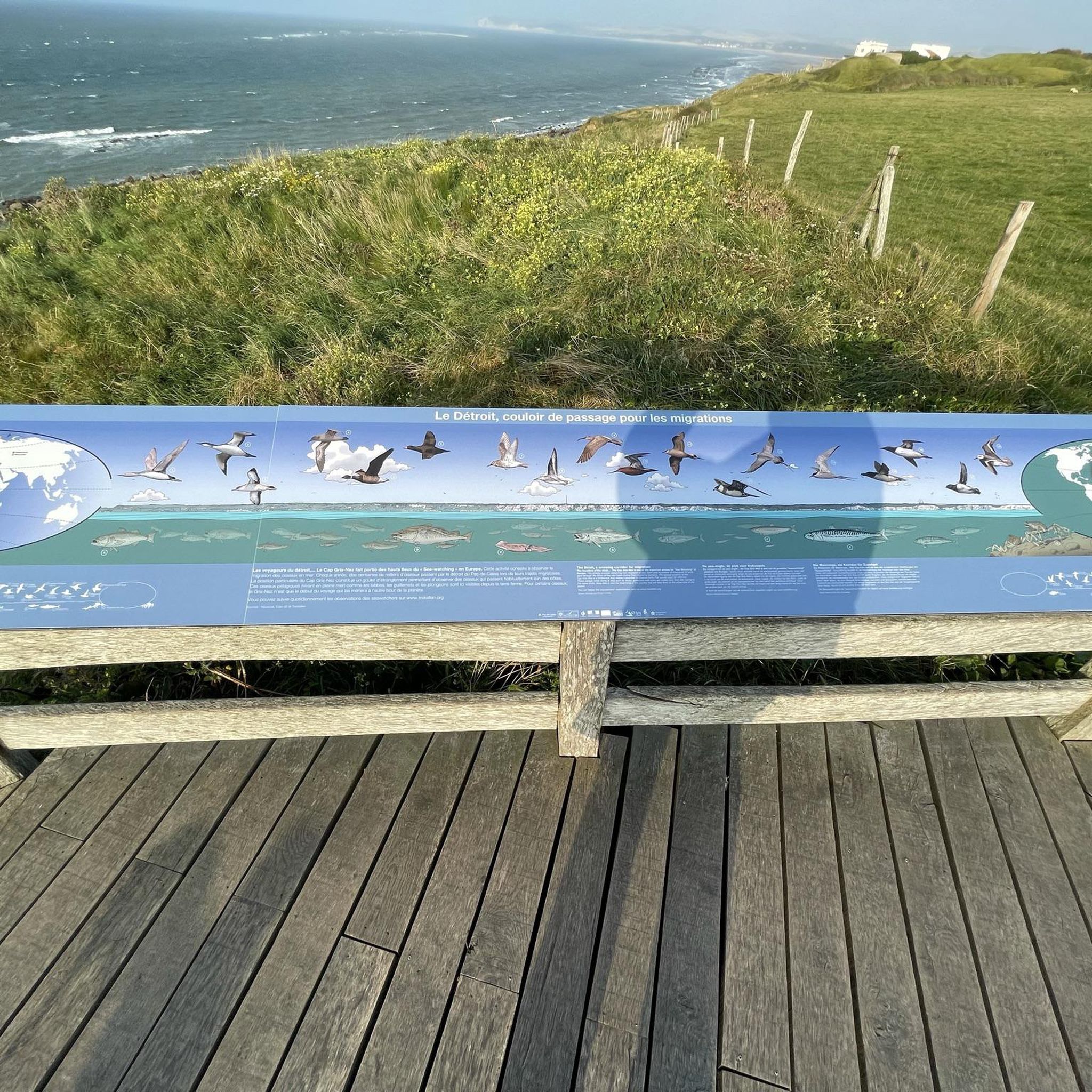
Kick start your adventure with a short detour down to this viewpoint showcasing some fantastic views out to the Antrim Coast.
2
0
Frequently Asked Questions
What kind of terrain can I expect on hiking trails around Beltoy?
The trails around Beltoy offer a diverse landscape, characterized by rolling hills and woodlands. You'll find paths winding through forested areas, alongside reservoirs, and even coastal sections. The terrain varies from gentle gradients suitable for easy walks to more rugged paths with moderate elevation changes, providing a natural and engaging environment for hikers.
Are there any easy, family-friendly hiking options in Beltoy?
Yes, Beltoy offers several easy routes perfect for families or those seeking a less strenuous walk. For example, the Causeway Coast and Glens - 7 - Woodburn Forest is an easy 3.7-mile trail leading through forested areas, typically completed in about 1 hour 36 minutes. The region has over 20 easy routes to choose from.
Can I bring my dog on the hiking trails in Beltoy?
Yes, the trails in Beltoy are generally pet-friendly. It's important to keep your dog on a leash to ensure the safety and enjoyment of all trail users and to protect local wildlife.
Are there any challenging hikes for experienced trekkers?
While many routes are easy to moderate, the region does offer more challenging experiences. For instance, the The Gobbin's Path from Islandmagee is a moderate 6.0-mile path with coastal views and significant elevation changes, taking approximately 2 hours 40 minutes. There is also one difficult route available for those seeking a more strenuous adventure.
What are some notable landmarks or natural features to look out for on the trails?
Beltoy's trails offer access to several interesting features. You can explore historical sites like Carrickfergus Castle, or natural wonders such as The Gobbins Coastal Walk. The Blackhead Lighthouse also offers scenic views along coastal routes.
Are there any circular hiking routes in Beltoy?
Yes, circular routes are a popular option in Beltoy. A great example is the Woodburn Forest – Woodburn Reservoir loop from Anglers Car Park, which is 5.4 miles long and leads through forest and past a reservoir, typically completed in about 2 hours 20 minutes.
What is the best time of year to go hiking in Beltoy?
Beltoy offers hiking opportunities year-round. The rolling hills and woodlands provide a natural environment that can be enjoyed in various seasons. For pleasant weather, spring and autumn are often ideal, but the trails are accessible and scenic even during quieter times of the year.
How long do hikes around Beltoy typically take?
Hiking durations vary depending on the route and your pace. Easy trails like the Causeway Coast and Glens - 7 - Woodburn Forest can take around 1.5 hours, while moderate paths such as Blackhead Lighthouse loop from Ballycarry might take closer to 3 hours.
What do other hikers enjoy most about hiking in Beltoy?
The area is highly rated by the komoot community, with an average score of 4.8 stars from over 50 reviews. Hikers often praise the diverse landscape, including coastal paths, forest trails, and reservoir loops, as well as the well-maintained paths and varied terrain suitable for different ability levels.
Are there options for shorter walks or quick runs?
Absolutely. For a quicker outdoor experience, consider routes like the Forest Dirt Bike Trail loop from North Woodburn Reservoir. This easy trail is about 2.4 miles long and can be completed in just over an hour, perfect for a brisk walk or a quick run.
Are there any facilities or places to eat near the hiking trails?
While specific cafes directly on every trail might be limited, the region offers amenities. For example, The Gobbins Cliff Path Visitor Centre provides facilities and a cafe option for those exploring that area.
Most popular routes around Beltoy
Most popular attractions around Beltoy

Get inspired with the komoot mobile app


Explore more
Browse the best Hikes in other regions.
