The best running trails around Killyfad
68
runners
5
runs
Jogging around Killyfad offers diverse landscapes across its various locations in Ireland, including County Leitrim, County Longford, County Antrim, and County Londonderry. The region features tranquil settings with natural hedgerows and hardwood trees, rolling green hills, and winding rivers. Depending on the specific Killyfad, runners can encounter areas near Derrycarne woods, cultivated lands, or rugged coastlines and deep glens. This varied terrain provides a range of environments suitable for running.
Best jogging routes around Killyfad
- The most popular jogging route…
Last updated: June 29, 2026
23
runners
22.5km
02:30
90m
90m
Hard run. Very good fitness required. Mostly paved surfaces. Suitable for all skill levels.
13
runners
4.24km
00:26
20m
20m
Easy run. Great for any fitness level. Mostly paved surfaces. Suitable for all skill levels.

Sign up for free
20
runners
Moderate run. Good fitness required. Mostly paved surfaces. Suitable for all skill levels.
7
runners
11.3km
01:11
100m
100m
Moderate run. Good fitness required. Mostly paved surfaces. Suitable for all skill levels.
2
runners
8.94km
01:02
30m
40m
Moderate run. Good fitness required. Mostly paved surfaces. Suitable for all skill levels.
Our route recommendations are based on thousands of hikes, rides, and runs completed by other people on komoot.
Start today with a free account
Your next adventure awaits.
Login or Signup
Popular around Killyfad

Tips from the Community

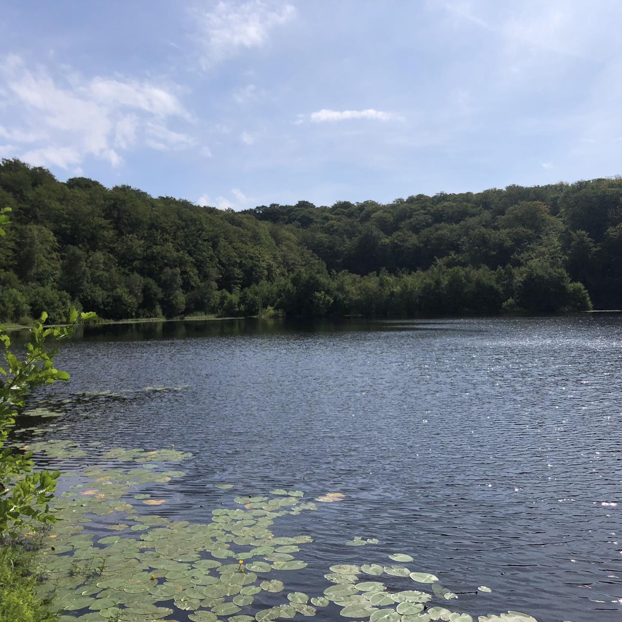
A 430 acre mixed conifer forest that contains an owl conservation centre, deer park and several walking routes. Within the deer enclosure, there is the opportunity to quietly observe up to 25 resident fallow deer. There are also two small adjacent nature reserves at the forest edge on the shores of Lough Neagh.
0
0

Nice small town to walk around and some great history of Randalstown
1
0

Antrim Castle Gardens is the perfect place for a jog. It has flat gravel paths throughout as well as a wonderful medley of landmarks to discover such as Large Parterre, Her Ladyship's Pleasure Garden and Yew Tree Pond. Admission to the castle is free and is open 24 hours.
2
0
Here you can discover the beauty of Antrim Castle Gardens & Clotworthy House. There's many beautiful landmarks along the way such as Large Parterre, Her Ladyship's Pleasure Garden and Yew Tree Pond. Admission to the castle is free and is open 24 hours.
2
0

Good cake & hot chocolate. Can sit inside or in the castle courtyard as you like.
0
0
Frequently Asked Questions
How many running routes are available in Killyfad?
Komoot currently lists 6 dedicated running routes around Killyfad. These trails offer a variety of experiences across the diverse landscapes of the region.
Are there any easy jogging routes suitable for beginners in Killyfad?
While all currently listed routes are rated as moderate, the Killyfad region, particularly areas like the Cullyfad Walkway in County Longford or the Derrycarne woods in County Leitrim, offers tranquil settings with relatively flat terrain that can be suitable for beginners. For a moderate introduction, consider the Toome Lock loop from Toomebridge Park and Ride, which is just over 5 km long.
Can I find long-distance running trails in the Killyfad area?
Yes, Killyfad offers options for longer runs. For example, the Diana’s Courtyard Café – Antrim Castle Gardens loop from Randalstown is a substantial 13.9 km route, providing a good challenge for those looking to cover more distance. The broader regions, such as the Royal Canal Greenway in County Longford or sections of the Shannon Blueway, also provide extensive multi-activity trails suitable for long-distance running.
Are there circular running routes around Killyfad?
Many of the running routes in Killyfad are designed as loops, allowing you to start and finish in the same location. An example is the popular Rarh loop from Randalstown, which is a 6 km circular trail.
What kind of scenery can I expect on Killyfad's running trails?
The scenery around Killyfad is quite varied, reflecting its presence in multiple Irish counties. You can expect tranquil settings with natural hedgerows and hardwood trees, rolling green hills, and winding rivers. In County Antrim, you might encounter rugged coastlines and deep glens, while County Longford offers cultivated lands and boggy areas. Routes like the Randalstown Viaduct – Randalstown Forest loop from Randalstown offer a mix of forest paths and historic landmarks.
Are Killyfad's running trails suitable for families?
While specific family-friendly ratings aren't available for all routes, the general character of Killyfad's landscapes, with its woodlands and walkways, can be suitable for families. Shorter, less challenging loops or sections of trails like those in Derrycarne woods (Leitrim) or the Cullyfad Walkway (Longford) would be good options for a family outing. Always check the route details for distance and elevation to ensure it matches your family's ability.
Are dogs allowed on the running trails in Killyfad?
Many outdoor areas in Ireland are dog-friendly, but it's always best to check local regulations for specific trails or nature reserves. Generally, dogs are welcome on leads in public woodlands and paths. For example, forest trails and greenways are often suitable for running with dogs, provided they are kept under control. Always carry waste bags and respect local signage.
Where can I park when visiting Killyfad's running routes?
Parking availability will depend on the specific starting point of your chosen route. Many trailheads, especially those near towns or popular recreational areas like Randalstown, will have designated parking facilities. For routes starting from villages or smaller communities, street parking might be an option. Always look for official parking areas and respect local residents.
Is public transport available to access Killyfad's running trails?
Access to Killyfad's running trails via public transport can vary significantly depending on the specific Killyfad location (Leitrim, Longford, Antrim, Londonderry) and the proximity of the trailhead to bus or train services. Larger towns like Randalstown, which is a starting point for several routes, are more likely to have public transport links. For more remote trails, public transport might be limited, making a car the more convenient option.
What is the best time of year for jogging in Killyfad?
The best time for jogging in Killyfad generally spans from spring through autumn (April to October), when the weather is milder and daylight hours are longer. Spring brings blooming nature, while autumn offers beautiful foliage. Winter running is possible, but trails can be muddy or wet, and daylight is limited. Always check local weather forecasts before heading out, especially during colder months.
Are there places to eat or drink near the running routes in Killyfad?
Yes, depending on the specific Killyfad location and your chosen route, you can often find cafes, pubs, or other eateries nearby. For instance, the Diana’s Courtyard Café – Antrim Castle Gardens loop from Randalstown explicitly mentions a café, suggesting amenities are available. Towns and villages close to popular trails, such as Randalstown or Dromod, will typically offer options for refreshments.
What makes Killyfad a good place for running?
Killyfad, across its various locations, offers a compelling mix of natural beauty and diverse terrain for runners. From the tranquil settings with natural hedgerows and hardwood trees in County Leitrim to the varied landscapes of County Antrim's coast and glens, there's always something new to explore. The presence of established walkways, forest trails, and ongoing recreational development makes it an appealing destination for outdoor enthusiasts seeking varied running experiences.
Are there any specific natural features or landmarks to look out for?
Absolutely! Depending on the Killyfad you're exploring, you might encounter diverse natural features and landmarks. In County Leitrim, you're close to the River Shannon and Derrycarne woods. County Longford offers the Royal Canal Greenway and Newcastle Forest Trails. In County Antrim, the broader region boasts rugged coastlines, deep glens, and landmarks like Slemish Mountain. The Running loop from Randalstown, for example, offers views of the local landscape.
Most popular routes around Killyfad

Get inspired with the komoot mobile app


Explore more
Browse the best Running Trails & Routes in other regions.
