The best cycling routes around Mollington
4.4
(60)
786
riders
145
rides
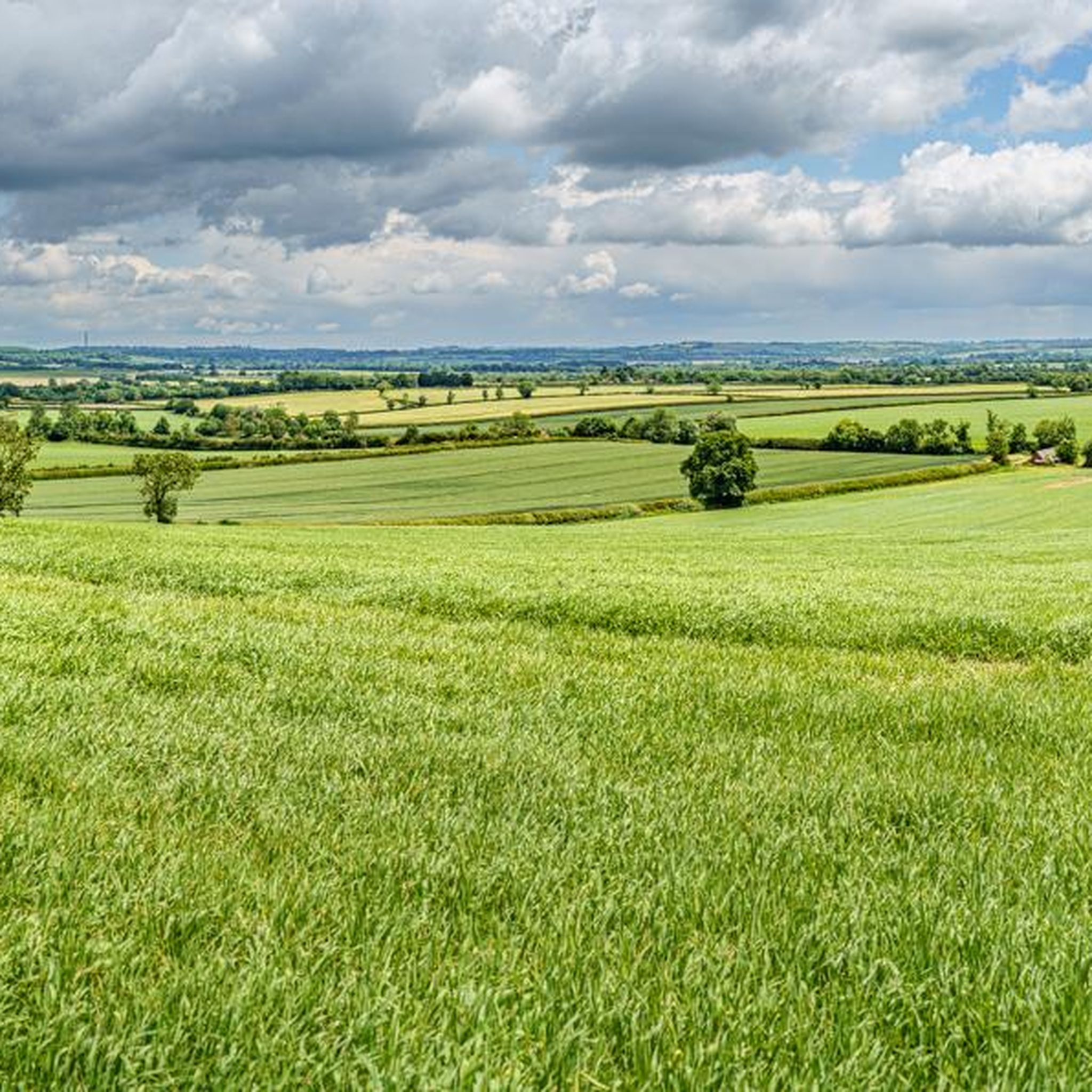
Touring cycling routes around Mollington traverse an "Incised Ironstone Plateau," featuring expansive open arable farming and areas of rough upland pasture. The landscape is characterized by historical elements such as sunken lanes and prehistoric ridgeways, with the village itself situated on the south-west facing slope of the Hanwell Brook valley. The soil's rich, tawny color, derived from ironstones, contributes to the area's distinctive natural palette, offering varied terrain for cyclists.
Best touring cycling routes around Mollington
- The most popular touring…
Last updated: July 5, 2026
5.0
(1)
9
riders
45.3km
02:54
380m
380m
Moderate bike ride. Good fitness required. Mostly paved surfaces. Suitable for all skill levels.
7
riders
25.6km
01:33
180m
180m
Moderate bike ride. Good fitness required. Mostly paved surfaces. Suitable for all skill levels.

Sign up for free
4.5
(2)
5
riders
44.9km
02:42
300m
300m
Moderate bike ride. Good fitness required. Mostly paved surfaces. Suitable for all skill levels.
5
riders
17.7km
01:04
130m
130m
Easy bike ride. Great for any fitness level. Mostly paved surfaces. Suitable for all skill levels.
5.0
(1)
5
riders
44.3km
02:44
350m
350m
Moderate bike ride. Good fitness required. Mostly paved surfaces. Suitable for all skill levels.
Get access to more routes and recommendations from other explorers.
Sign up for free
Already have an account?
Our route recommendations are based on thousands of hikes, rides, and runs completed by other people on komoot.
Start today with a free account
Your next adventure awaits.
Login or Signup
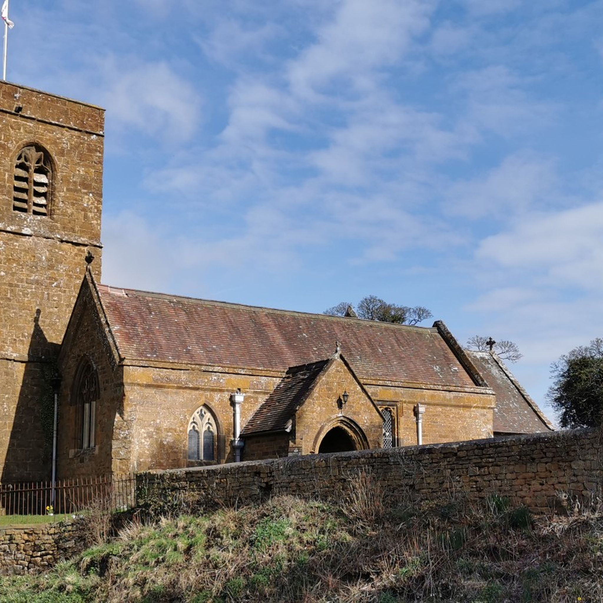
Tips from the Community


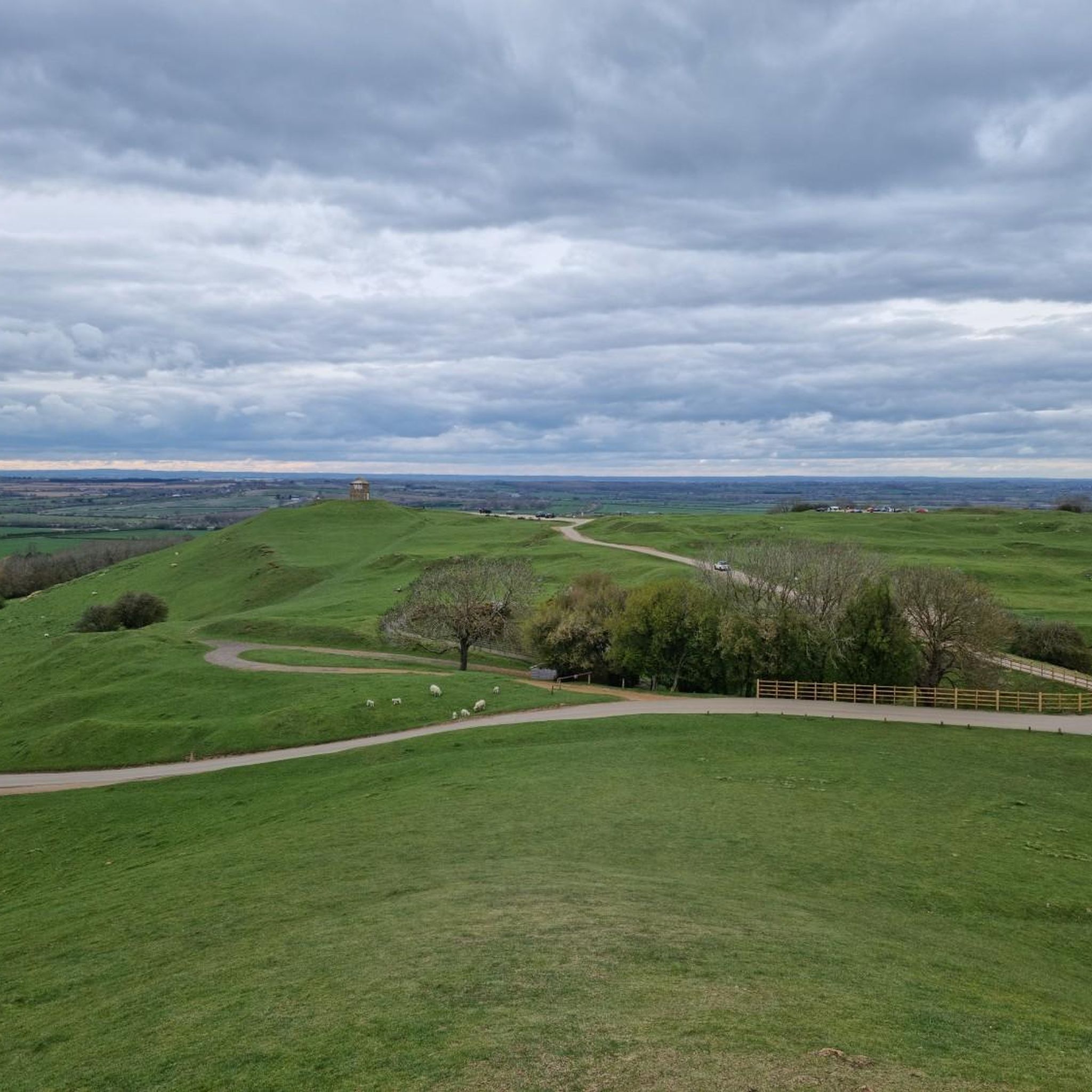
Edgehill Castle (Tower) which is now a rather nice pub/restaurant. The castle was built in the 18th Century as a 'sham' castle reputedly on the exact spot where Charles I raised his standard before the Battle of Edgehill during the first English Civil War. Apparently Cromwell got there too late for the battle.
1
0


Cracking cafe in the middle of Brackley, set in - you guessed it - an old fire station. Good coffee, bike spaces and friendly staff.
0
0

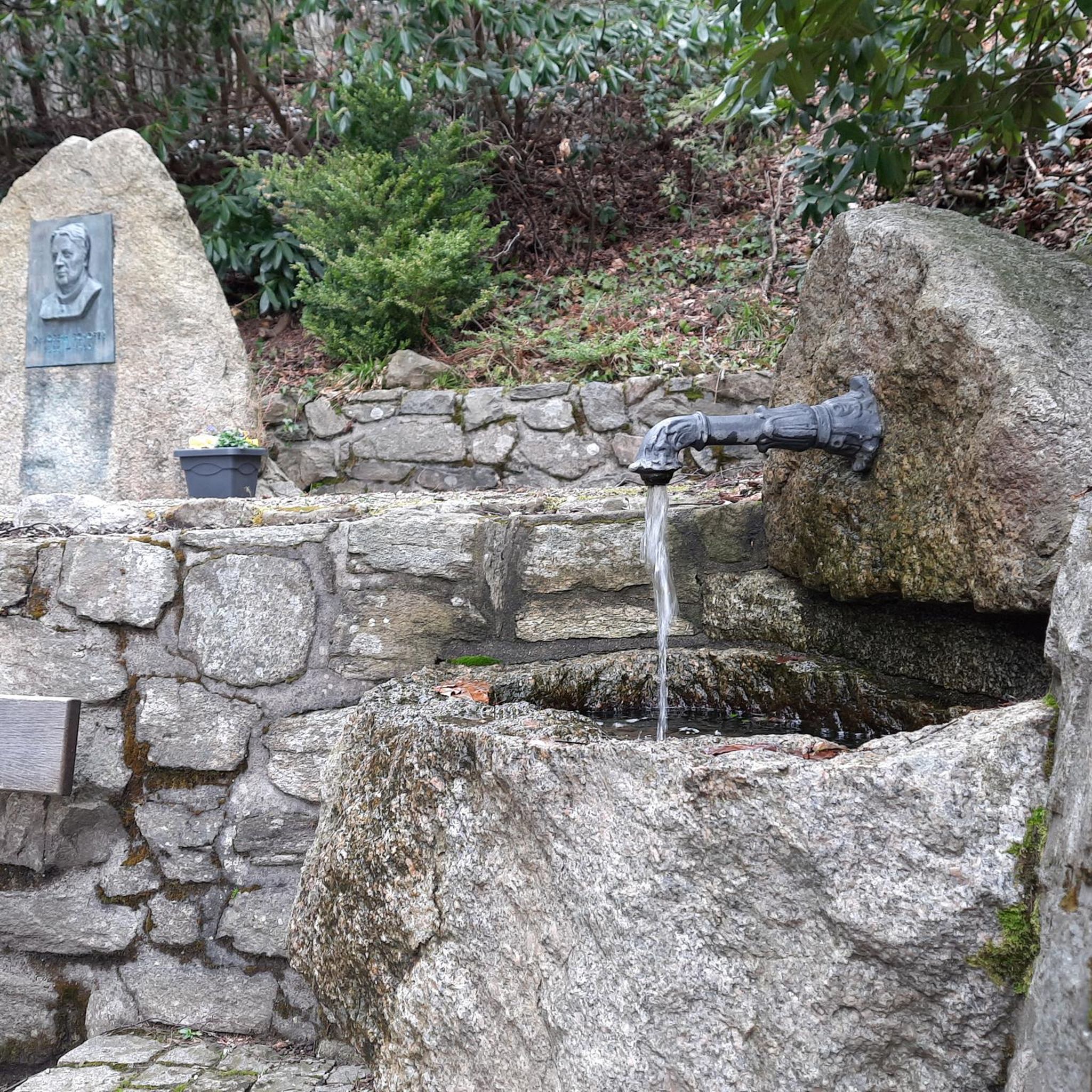
Napton Lock No 12 is a minor waterways place on the Oxford Canal (Southern Section - Main Line) between Old Engine House Arm Junction (4¾ furlongs and 2 locks to the south) and Napton Junction (Junction of Grand Union and Oxford Canals) (2 miles and 4½ furlongs and 4 locks to the northeast). It is part of Napton Locks. The nearest place in the direction of Old Engine House Arm Junction is Napton Lock No 13; ¾ furlongs away. The nearest place in the direction of Napton Junction is Shut Bridge No 115; a few yards away.
0
0
Shut Bridge No 115 is a minor waterways place on the Oxford Canal (Southern Section - Main Line) between Old Engine House Arm Junction (5 furlongs and 3 locks to the south) and Napton Junction (Junction of Grand Union and Oxford Canals) (2 miles and 4½ furlongs and 4 locks to the northeast). It is part of Napton Locks. The nearest place in the direction of Old Engine House Arm Junction is Napton Lock No 12; a few yards away. The nearest place in the direction of Napton Junction is Napton Lock No 11; 1¼ furlongs away.
0
0
Marston Doles Bridge No 119 is a minor waterways place on the Oxford Canal (Southern Section - Main Line) between Fenny Compton Wharf (7 miles and 4¼ furlongs and 1 lock to the southwest) and Old Engine House Arm Junction (6½ furlongs and 1 lock to the northwest). It is part of Napton Locks. The nearest place in the direction of Fenny Compton Wharf is Marston Doles Top Lock No 16; a few yards away. The nearest place in the direction of Old Engine House Arm Junction is Marston Doles Bottom Lock No 15; 1 furlong away.
0
0
Frequently Asked Questions
How many touring cycling routes are available around Mollington?
There are over 150 touring cycling routes in the Mollington area, offering a wide range of options for different skill levels. You'll find 30 easy routes, 106 moderate routes, and 22 difficult routes to explore.
What makes touring cycling in Mollington unique?
Mollington's touring cycling routes traverse an "Incised Ironstone Plateau," characterized by expansive open arable farming and areas of rough upland pasture. The landscape features historical elements like sunken lanes and prehistoric ridgeways, with the village itself nestled on the south-west facing slope of the Hanwell Brook valley. The rich, tawny color of the soil, derived from ironstones, adds to the area's distinctive natural palette.
What do other touring cyclists say about the routes in Mollington?
The touring cycling routes around Mollington are highly rated by the komoot community, with an average score of 4.4 stars from over 50 reviews. Cyclists often praise the varied terrain, scenic views, and the network of quiet roads and hard-packed farm tracks that are manageable for touring bikes.
When is the best time of year to go touring cycling in Mollington?
The Mollington area is generally pleasant for touring cycling from spring through autumn. The landscape, with its open arable farming and ironstone features, offers beautiful scenery during these seasons. While some routes may be accessible in winter, checking local weather forecasts is always recommended due to potential for colder, wetter conditions.
Are there easy touring cycling routes suitable for beginners in Mollington?
Yes, Mollington offers 30 easy touring cycling routes perfect for beginners or those looking for a relaxed ride. An example is the View of the Countryside loop from Cropredy, which is just under 7 miles long and takes about 40 minutes to complete.
Can I find challenging touring cycling routes in Mollington?
While Mollington is known for its moderate routes, there are 22 difficult touring cycling routes for those seeking a greater challenge. These routes often feature more significant elevation changes across the "Incised Ironstone Plateau" and may include longer distances.
Are there any circular touring cycling routes around Mollington?
Yes, many of the touring cycling routes around Mollington are circular, offering convenient starting and ending points. For instance, the popular Cropredy Wharf – Marston Doles Canal Wharf loop from Cropredy is a moderate 27.7-mile circular route.
Are the touring cycling routes around Mollington suitable for families?
Many of the easy and moderate routes around Mollington are suitable for families, especially those with some cycling experience. Routes that utilize quiet roads or hard-packed farm tracks are generally good options. The Edgehill Country Park Campsite – View from Edgehill loop from Shotteswell CP is an easy, family-friendly option, covering about 10.9 miles.
What attractions can I see along the touring cycling routes in Mollington?
While cycling, you can explore several historical and natural attractions. Notable points of interest include the Battle of Edgehill Site, All Saints' Church, Burton Dassett, and the impressive Upton House and Gardens. These offer glimpses into the region's rich history and natural beauty.
Are there places to eat or stay near the touring cycling routes?
Mollington and nearby villages like Cropredy offer various amenities. You can find pubs and cafes for refreshments, such as the starting point for the The Old Fire Station Café – Cropredy Wharf loop from Cropredy. For accommodation, options range from local inns to campsites, particularly around areas like Edgehill Country Park.
What kind of terrain should I expect on Mollington's touring cycling routes?
Expect a varied terrain that includes quiet country roads, some sections of hard-packed farm tracks, and paths that traverse the "Incised Ironstone Plateau." You'll encounter gentle ascents and descents, characteristic of the Hanwell Brook valley, and pass through open arable farming landscapes and areas of rough upland pasture. The distinctive tawny soil is a common sight.
Can I access Mollington's cycling routes using public transport?
While Mollington itself is a village, the broader Oxfordshire area has public transport links. Cyclists often drive to a starting point with parking, such as Cropredy, which serves as a hub for several routes like the Village Spinney loop from Cropredy. It's advisable to check local bus schedules for connections to specific villages near your chosen route.
Most popular attractions around Mollington

Get inspired with the komoot mobile app


Explore more
Browse the best Cycling routes in other regions.
