The best road cycling routes around Ballyscullion East
4.3
(76)
183
riders
32
rides
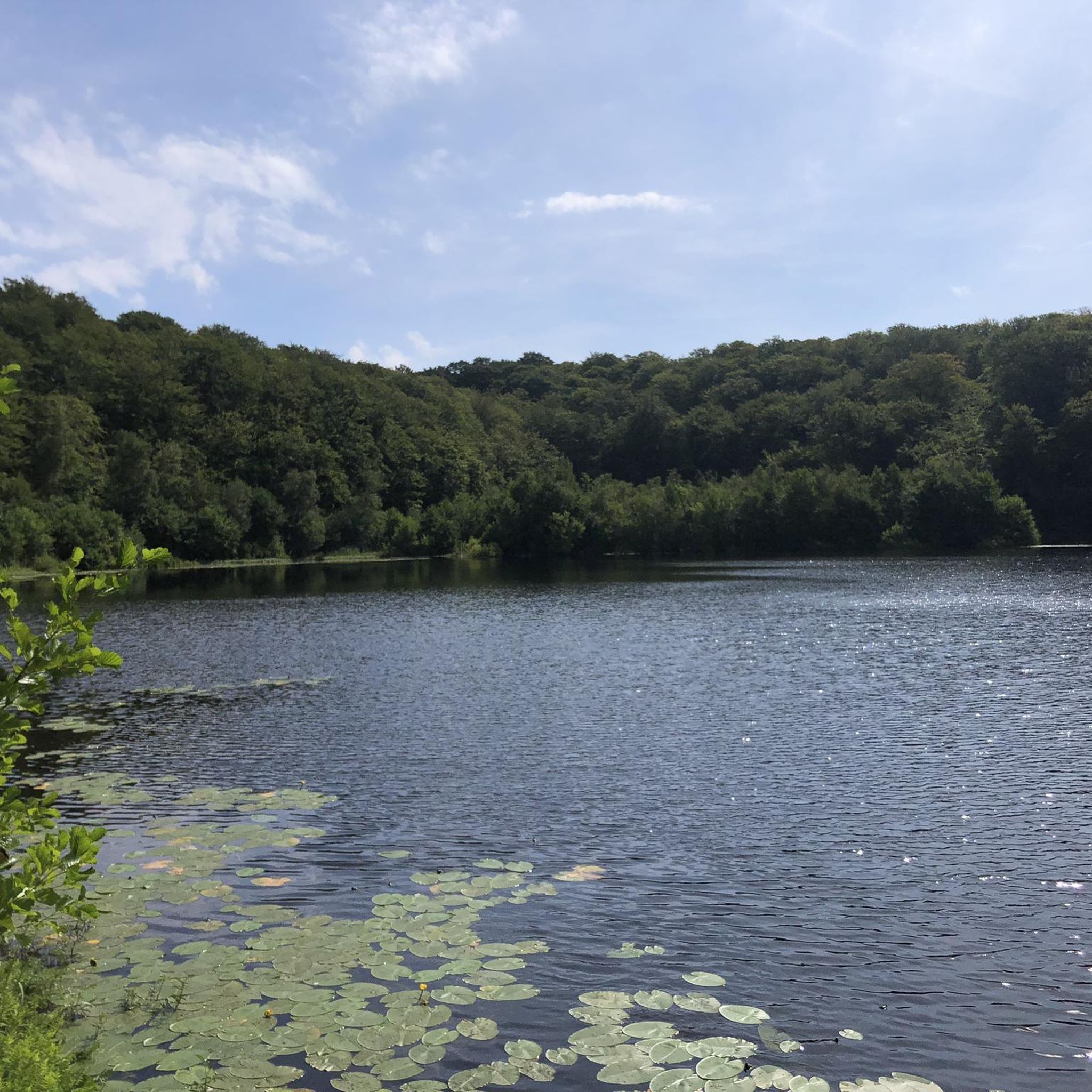
Road cycling around Ballyscullion East is characterized by its location along Lough Beg and the River Bann, offering tranquil waterside routes. The region features a landscape of gentle undulations, with distant views of the Antrim hills, Mourne Mountains, and Sperrin Mountains providing scenic backdrops. Road cyclists can expect a mix of flatter sections alongside waterways and slightly more varied stretches through the surrounding countryside. This terrain provides diverse options for road cycling.
Best road cycling routes around Ballyscullion East
- The…
Last updated: July 9, 2026
4.7
(39)
21
riders
Easy road ride. Great for any fitness level. Mostly well-paved surfaces and easy to ride.
12
riders
54.0km
02:15
310m
310m
Moderate road ride. Good fitness required. Mostly well-paved surfaces and easy to ride.

Sign up for free
11
riders
64.6km
02:43
490m
490m
Moderate road ride. Good fitness required. Mostly well-paved surfaces and easy to ride.
8
riders
80.2km
03:26
610m
610m
Moderate road ride. Good fitness required. Some segments of this route may be unpaved and difficult to ride.
8
riders
37.7km
01:37
180m
180m
Easy road ride. Great for any fitness level. Mostly well-paved surfaces and easy to ride.
Get access to more routes and recommendations from other explorers.
Sign up for free
Already have an account?
Our route recommendations are based on thousands of hikes, rides, and runs completed by other people on komoot.
Start today with a free account
Your next adventure awaits.
Login or Signup
Popular around Ballyscullion East

Tips from the Community

A row of terraced houses just outside the town of Randalstown. An important military location, these houses could've been used as barracks or staff housing. The symmetry of these houses is very pleasing as you ride past.
0
0

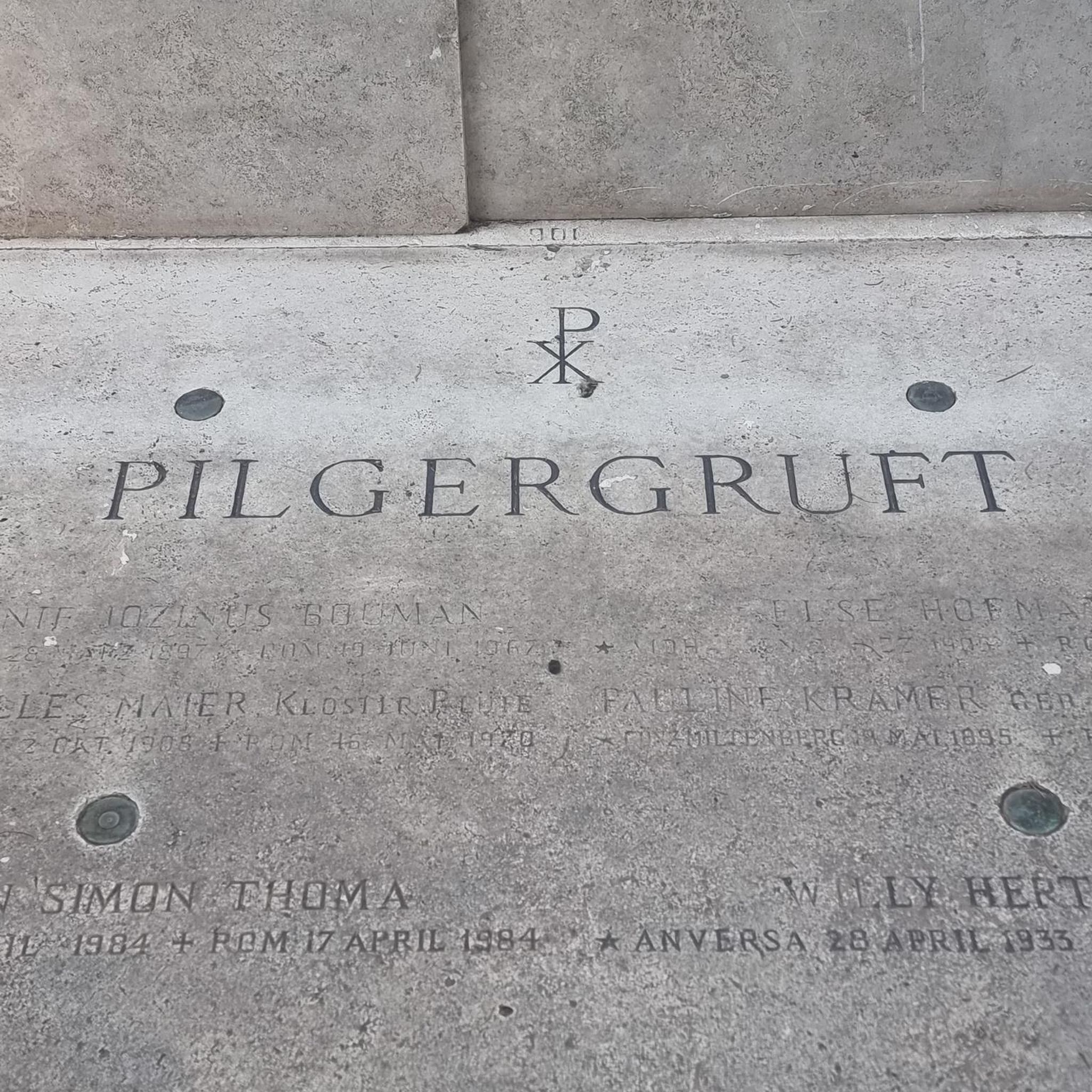
Contained within the ruins is a sculpture of the crucifixion, which is thought to date from the 10th Century, making it one of the oldest in Ireland. St Lurach founded an important church here in the 6th century. It was plundered by Vikings in 832 and burned in 1135. Following the 12th-century ecclesiastical reforms this was the seat of a bishop from the mid 12th to the mid 13th century, then served as parish church until the new church across the road was built in the early 19th century. This long history is reflected in the much patched and altered fabric, and the big uneven graveyard.
0
0

Nice small town to walk around and some great history of Randalstown
1
0


It's quite an unusual experience stumbling into a pyramid in the middle of an Irish forest! This pyramid was built in the 19th century as a burial chamber for Lord Garvagh and is a lovelly feature to the forest today.
2
0

Frequently Asked Questions
How many road cycling routes are available in Ballyscullion East?
Ballyscullion East offers over 35 road cycling routes, catering to various skill levels. These routes are highly rated by the komoot community, with an average score of 4.4 stars.
What kind of terrain can I expect when road cycling in Ballyscullion East?
The terrain in Ballyscullion East is characterized by gentle undulations, with flatter sections alongside Lough Beg and the River Bann. You'll also encounter slightly more varied stretches through the countryside, often with distant views of the Antrim hills, Mourne Mountains, and Sperrin Mountains.
Are there easy road cycling routes suitable for beginners in Ballyscullion East?
Yes, Ballyscullion East has 13 easy road cycling routes. An excellent option for beginners is the Randalstown Viaduct – Randalstown Heritage Houses loop from Ballylummin, which is 22.8 miles (36.6 km) long and offers pleasant views of local heritage sites.
Are there any challenging road cycling routes in Ballyscullion East?
While most routes are easy to moderate, there are 2 routes classified as difficult. For a moderate challenge, consider the Bark Hill Climb – St Lurach's Church Ruins loop from Ahoghill, which covers 42.3 miles (68.1 km) with significant elevation gain.
What are some scenic viewpoints or natural features along the road cycling routes?
Many routes offer tranquil waterside views along Lough Beg and the River Bann, which is a Ramsar site known for its rich flora and birdlife. From certain vantage points, you can also enjoy panoramic views across to the Antrim hills, the Mourne Mountains, and the Sperrin Mountains.
Are there any historical landmarks or attractions to see while cycling?
Yes, the region is rich in history. Routes often pass by historical points of interest such as St Lurach's Church Ruins. The broader area also features sites like Downhill House Ruins and Mussenden Temple, which add a cultural dimension to your ride.
Are there any circular road cycling routes in Ballyscullion East?
Many of the routes in Ballyscullion East are designed as loops. For example, the popular Toome Lock – View of Lough Neagh loop from Portglenone is a moderate 33.6 miles (54.0 km) circular path that follows the River Bann.
What is the best time of year for road cycling in Ballyscullion East?
While specific seasonal data isn't provided, the natural beauty of the loughs, rivers, and distant mountain views suggests that spring and summer offer pleasant conditions for cycling, with milder weather and vibrant landscapes. Autumn would also provide beautiful scenery with changing foliage.
Are there options for family-friendly road cycling in Ballyscullion East?
The presence of 13 easy routes indicates good options for families. Routes with flatter sections alongside Lough Beg and the River Bann would be particularly suitable for a more relaxed family cycling experience.
What do other road cyclists enjoy most about cycling in Ballyscullion East?
The komoot community rates the routes highly, with an average score of 4.4 stars from over 70 reviews. Cyclists often praise the tranquil waterside routes, the scenic backdrops of distant mountains, and the mix of flatter and gently undulating terrain that provides diverse options.
Are there any less-known or hidden gem road cycling routes in the area?
While specific 'hidden gems' aren't detailed, exploring the 35 available routes on komoot can lead you to discover less-trafficked paths. Many routes venture through rural landscapes, offering a chance to experience the quieter side of Ballyscullion East.
Can I find places for coffee or refreshments along the road cycling routes?
While specific cafes aren't listed for each route, the region's villages and towns like Portglenone or Ahoghill, which serve as starting points for several tours, are likely to offer options for refreshments. Planning your route with komoot allows you to identify potential stops.
Most popular routes around Ballyscullion East

Get inspired with the komoot mobile app


Explore more
Browse the best Road cycling routes in other regions.
