The best mountain hikes around Marxzell
5.0
(4)
15
hikers
6
hikes
Mountaineering around Marxzell offers routes through the northern Black Forest, characterized by diverse terrain within the Albtal. The landscape features dense forests, rolling hills, and scattered orchards, with elevations ranging between 220 and 560 meters above sea level. From higher points, panoramic views extend over the Alb Valley and the Rhine Plain, complemented by refreshing forest sections and mountain streams.
Best mountaineering routes around Marxzell
- The most popular mountaineering route is Teufelsmühle Observation Tower – Teufelskammern Sandstone Caves loop from…
Last updated: October 18, 2026
5.0
(2)
8
hikers
Moderate mountaineering route. Good fitness required. Mostly accessible paths. Sure-footedness required.
1
hikers
Hard mountaineering route. Very good fitness required. Sure-footedness, sturdy shoes and alpine experience required.

5.0
(2)
2
hikers
Moderate mountaineering route. Good fitness required. Mostly accessible paths. Sure-footedness required.
1
hikers
Hard mountaineering route. Very good fitness required. Mostly accessible paths. Sure-footedness required.
2
hikers
Moderate mountaineering route. Good fitness required. Mostly accessible paths. Sure-footedness required.
Our route recommendations are based on thousands of hikes, rides, and runs completed by other people on komoot.
Start today with a free account
Your next adventure awaits.
Popular around Marxzell
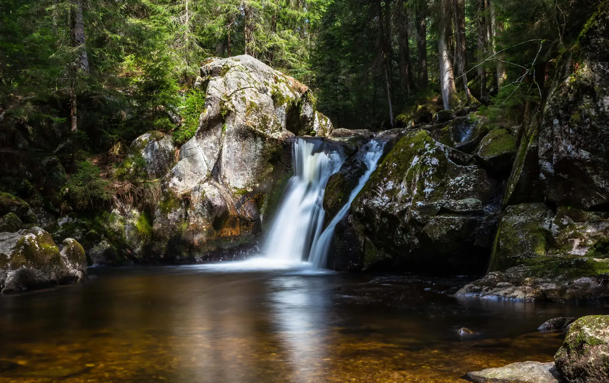
Hiking, ponds & waterfalls – superb Black Forest swimming spots
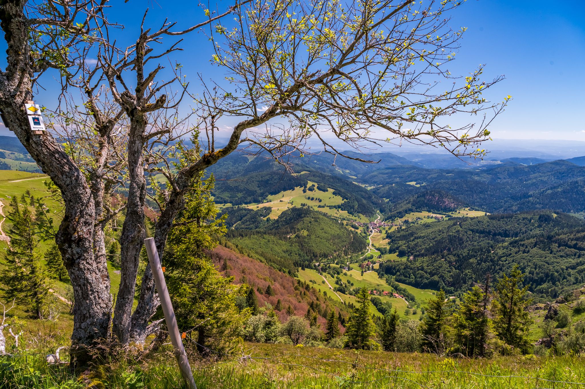
Summer, summits and huts – varied hikes in the Black Forest
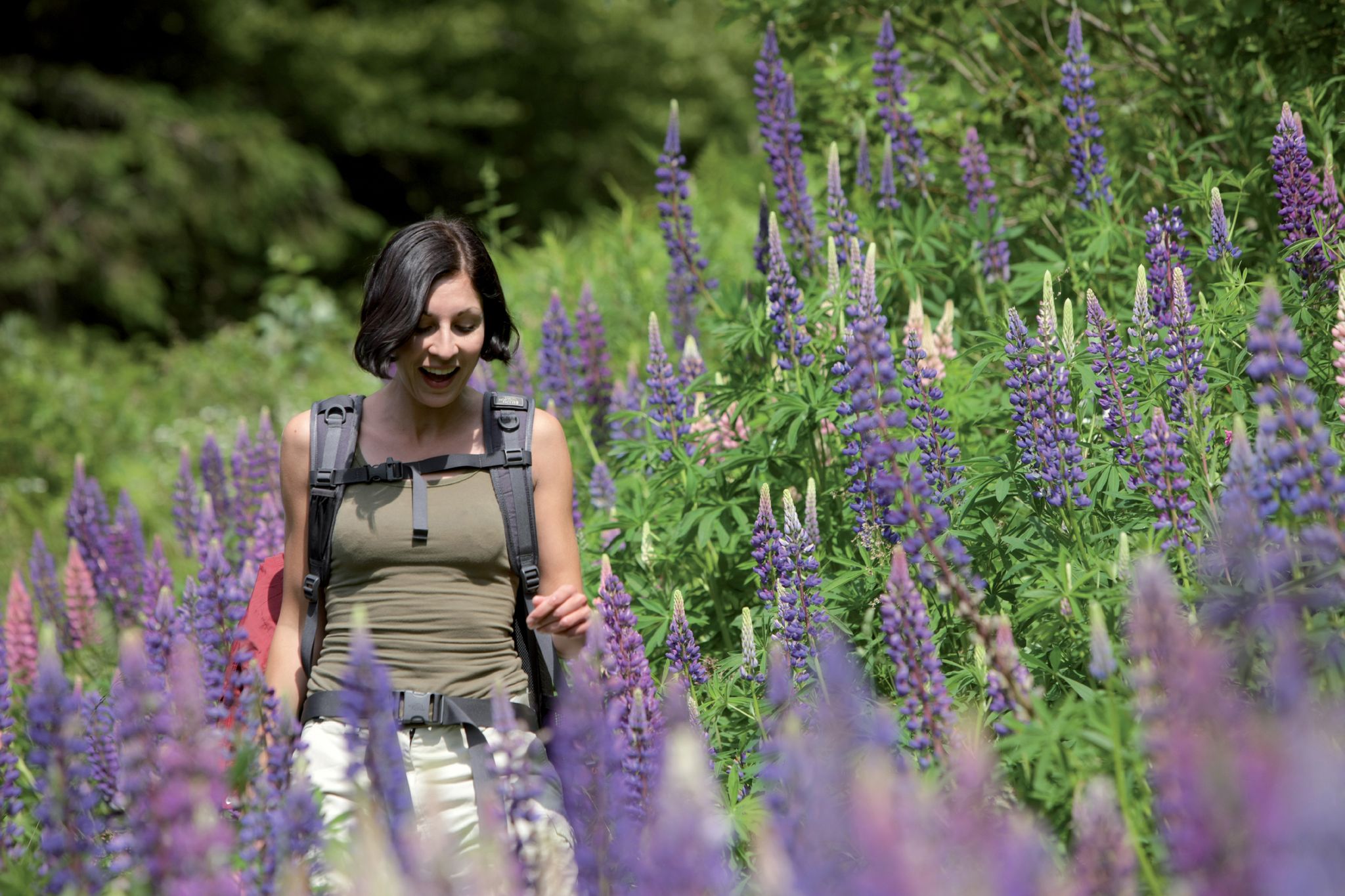
Exploring the Black Forest in Germany – fantastic trails & nature
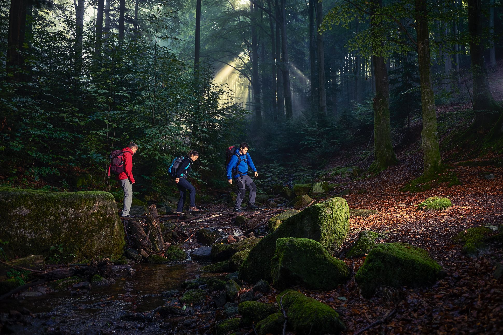
Cross-hiking the Black Forest
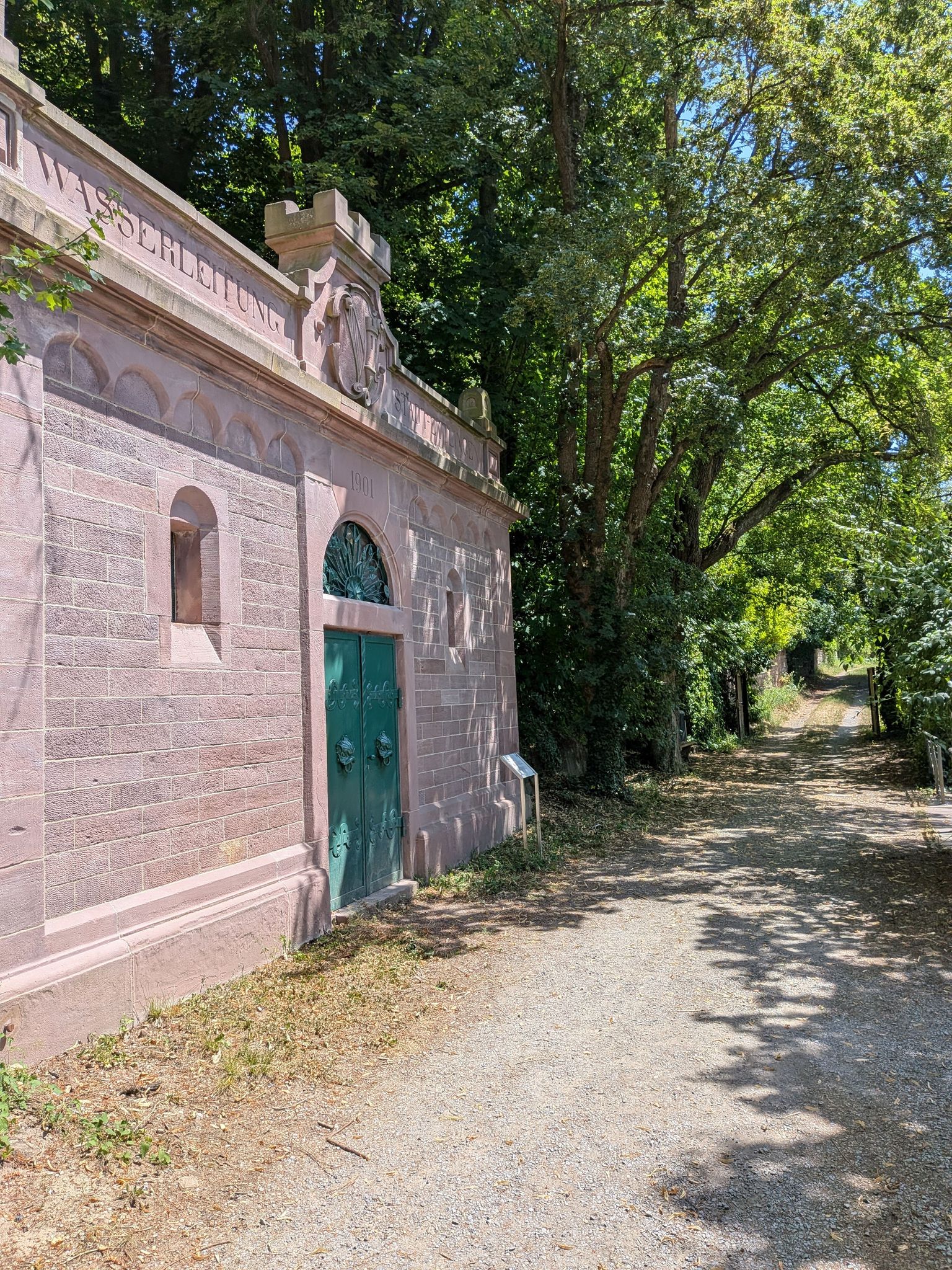
Zeitzeugen am Wegesrand – auf den Spuren der Kleindenkmale im Landkreis Karlsruhe
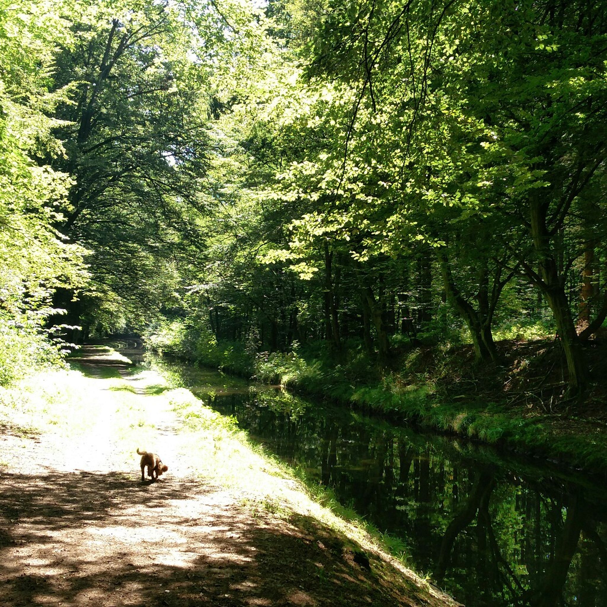
Hiking around Marxzell
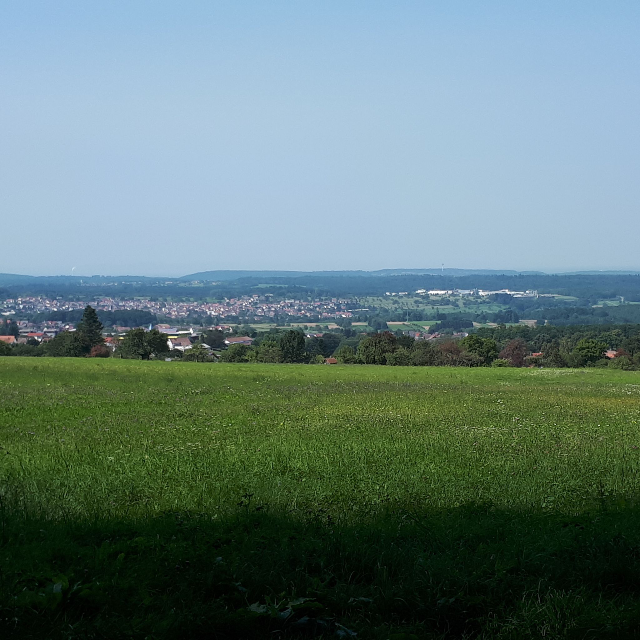
Cycling around Marxzell
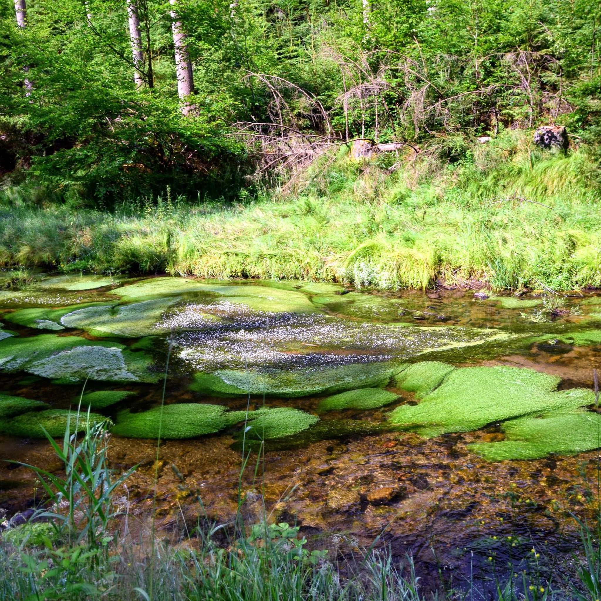
Gravel biking around Marxzell
MTB Trails around Marxzell
Road Cycling Routes around Marxzell
Other adventures around Marxzell


Tips from the Community


Resembles an open-air museum. You can read all sorts of things about a legal dispute of the owner of this mill on large banners and collected newspaper clippings. If you want to read everything, you need to bring more time than I had.
0
0

Below this spot, an aircraft crashed on November 1, 1945, shortly after the end of the war. In the most severe air disaster ever to occur in our region, 26 American military personnel lost their lives. The aircraft was a Douglas C-47 (DC3) transport aircraft in its military version. It was put into service a year earlier and participated in "D-Day", the Normandy invasion, as a paratrooper transport. It had space for up to 32 people and was also known as a "raisin bomber" during the Berlin Airlift. On the day of the accident, 4 crew members and 26 U.S. Air Force soldiers were on board. They had been on vacation in London and were supposed to return to their units at the Oberschleißheim Air Force Base near Munich. Despite bad weather over the mainland, the 23-year-old pilot and his 22-year-old navigator decided to fly. Shortly after takeoff, the pilot had to climb above the cloud cover due to dense cloudiness and continue the flight using instruments. According to the navigator's calculations, a point near Augsburg should have been reached after 3 hours of flight, where the pilot could descend below the cloud cover and begin the approach using visual orientation. Due to strong headwinds, the calculated position was missed by more than 200 km. Consequently, the cloud cover was descended through north of Karlsruhe, and the navigator lost orientation. They followed the Rhine in a southwesterly direction until near Wintersdorf, a 90-degree correction was made to the original course towards Munich. The DC3 thus steered directly towards the 693-meter-high Bernstein. The pilot and navigator continued to try to determine the correct position from low altitude, which became increasingly difficult due to the approaching fog. Despite the dense fog, the silhouette of the aircraft was recognizable when flying over Michelbach. Around 4:30 PM, the aircraft crashed at an altitude of 620 meters, where it broke into several pieces and went up in flames after explosions. Many victims died because help arrived too late. That help arrived at all four hours after the accident is thanks to three survivors who, despite severe injuries, made their way to Sulzbach and Bernbach. Until now, only rumors had surrounded this event, and it eventually fell into oblivion.
5
0

One of the fastest ways to cross the Enz river from Birkenfeld by bike or on foot and then head towards Büchenbronn.
1
0

Hut with good weather protection
0
0
Small bridge over the Alb as a connection between Schweizer Wiese and the Falkensteinfelsen, as well as a beautiful view of the water.
3
0
The spa park in the heart of the city is characterized by its historic trees and spacious green spaces, making it a place to recharge your batteries. Its design offers two atmospheres: a "classic" one with cultivated park meadows, and a "wildly romantic" one with blooming riverside and forest meadows. The two sections are connected by bridges over the renaturalized Alb River.
4
0
The monastery tavern, probably founded in 1148, is one of the oldest inns in southern Germany. At the entrance, there's a distinctive sign featuring a dragon figure.
4
0
Frequently Asked Questions
How many mountaineering routes are available around Marxzell?
There are 6 distinct mountaineering routes around Marxzell, offering a range of experiences through the northern Black Forest. These routes are highly rated by the komoot community.
What kind of terrain can I expect on mountaineering routes in Marxzell?
The terrain around Marxzell is diverse, featuring dense forests, rolling hills, and scattered orchards within the Albtal. You'll encounter refreshing forest sections and bubbling mountain streams. Elevations range between 220 and 560 meters above sea level, providing varied ascents and descents.
Are there any challenging mountaineering routes for experienced hikers?
Yes, Marxzell offers several challenging routes. For instance, the Bad Herrenalb monastery ruins – Bad Herrenalb Spa Park loop from Bad Herrenalb is a difficult 13.2-mile (21.3 km) path with significant elevation changes, passing historical sites. Another difficult option is the Forest path along the River Enz – Enz Riverside Trail loop from Neuenbürg (Württ.) Freibad.
Can I find family-friendly mountaineering options in Marxzell?
While the routes are generally categorized as moderate to difficult mountaineering, the region's extensive hiking network includes options suitable for various experience levels. For easier walks, consider exploring the broader hiking trails in Marxzell, which are well-marked and highly rated.
Are dogs allowed on the mountaineering trails in Marxzell?
Generally, dogs are welcome on hiking and mountaineering trails in the Black Forest region, including around Marxzell. However, it's always advisable to keep them on a leash, especially in nature reserves or areas with wildlife, and to respect local signage.
Are there circular mountaineering routes available?
Yes, many of the mountaineering routes around Marxzell are circular. Examples include the popular Teufelsmühle Observation Tower – Teufelskammern Sandstone Caves loop from Loffenau and the scenic View from the Teufelsmühle – Teufelsmühle Mountain Inn loop from Rißwasenhütte.
What natural features or landmarks can I see along the routes?
Mountaineering routes in Marxzell often lead through beautiful landscapes and past historical sites. You can expect panoramic views over the Alb Valley and the Rhine Plain from higher points. The region is also known for its refreshing forest sections and bubbling mountain streams. The nearby Frauenalb monastery ruin is a significant landmark with impressive twin towers.
Are there any waterfalls to discover on these trails?
Yes, the Marxzell area is home to several beautiful waterfalls. You might encounter the Laufbach Waterfalls, Lickbrunnen Waterfall, or Knapp's Waterfall, among others, which add to the scenic beauty of the region.
What is the best time of year for mountaineering in Marxzell?
The hiking and mountaineering opportunities in Marxzell are particularly impressive during spring and autumn. In spring, the natural scenery comes alive with colorful flowers, while autumn offers vibrant foliage. The healthy climate makes it enjoyable throughout these seasons.
Are there places to eat or drink near the mountaineering routes?
Yes, the region has various options for refreshments. Many routes pass by or are close to mountain inns or local cafes where you can enjoy a break. For example, the View from the Teufelsmühle – Teufelsmühle Mountain Inn loop from Rißwasenhütte specifically mentions a mountain inn.
What do other mountaineers say about the routes in Marxzell?
The mountaineering routes in Marxzell are highly rated by the komoot community, with an average score of 5.0 stars from 4 reviews. Reviewers often praise the varied terrain, scenic forest paths, and expansive views over the Alb Valley.
Are there any routes that offer panoramic views?
Absolutely. From elevated points along the routes, you can enjoy extensive panoramic views over the Alb Valley and the Rhine Plain. On clear days, these vistas can even extend to the Vosges mountains. The View from the Teufelsmühle – Teufelsmühle Mountain Inn loop from Rißwasenhütte is specifically known for offering expansive views.
Is public transport available to access the mountaineering trails?
Marxzell is part of a well-connected region. While specific public transport stops for each trailhead vary, the area generally has good access via local buses and trains, especially to larger towns like Bad Herrenalb, which serves as a starting point for routes like the Bernstein Hut (654 m) – Stone Cairns on the Alb River loop from Bad Herrenalb. It's recommended to check local transport schedules for specific starting points.
Most popular routes around Marxzell
Most popular attractions around Marxzell

Get inspired with the komoot mobile app


Explore more
Browse the best Mountain Hikes & Routes in other regions.
