The best mountain hikes around Mannheim
4.7
(4)
13
hikers
4
hikes
Mountaineering routes near Mannheim are primarily found in the surrounding regions, particularly the Odenwald and Bergstraße, as the city itself is situated in the flat Upper Rhine Plain. This area is characterized by dense, ancient woodlands, varied natural landscapes, and rolling hills with significant elevation changes. The terrain often features forested slopes, rocky outcrops, and scenic valleys, providing a diverse environment for challenging ascents and descents.
Best mountaineering routes around Mannheim
- The most popular mountaineering route is Gaisberg Tower – Sprunghöhe Shelter loop from Heidelberg, a 5.4 miles (8.7 km) trail that takes 2 hours 58 minutes to complete. This route features a steady climb through forested hills to a scenic tower.
- Another top favourite among local mountaineers is Mausbachbrunnen loop from Heidelberg, a moderate 9.3 miles (15.0 km) path. This trail offers extensive forest sections and significant elevation gain, providing a robust workout.
- Local mountaineers also love the Hohe Waid Summit Cross – Schanzenköpfle Ruins loop from Leutershausen, a 7.3 miles (11.8 km) trail leading through varied natural landscapes, often completed in about 3 hours 42 minutes.
- Mountaineering around Mannheim is defined by dense woodlands, rolling hills, and varied natural landscapes. The network offers options for different ability levels, primarily focusing on moderate challenges.
- The routes in Mannheim are highly rated by the komoot community with an average score of 4.7 stars from over 4 reviews. More than 14 mountaineers have used komoot to explore Mannheim's varied terrain.
Last updated: August 11, 2026
5.0
(2)
5
hikers
8.70km
02:58
450m
450m
Moderate mountaineering route. Good fitness required. Mostly accessible paths. Sure-footedness required.
5.0
(1)
4
hikers
7.09km
02:26
320m
320m
Moderate mountaineering route. Good fitness required. Mostly accessible paths. Sure-footedness required.

Sign up for free
2
hikers
15.3km
04:53
600m
600m
Moderate mountaineering route. Good fitness required. Mostly accessible paths. Sure-footedness required.
9.01km
03:06
470m
470m
Moderate mountaineering route. Good fitness required. Easily-accessible paths. Suitable for all skill levels.
4.0
(1)
1
hikers
11.6km
03:38
400m
400m
Moderate mountaineering route. Good fitness required. Mostly accessible paths. Sure-footedness required.
1
hikers
Moderate mountaineering route. Good fitness required. Mostly accessible paths. Sure-footedness required.
Our route recommendations are based on thousands of hikes, rides, and runs completed by other people on komoot.
Start today with a free account
Your next adventure awaits.
Login or Signup
Popular around Mannheim
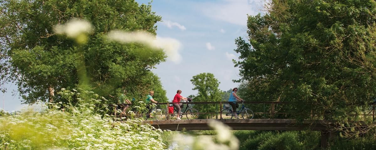
The most beautiful long-distance cycle paths in Franconia
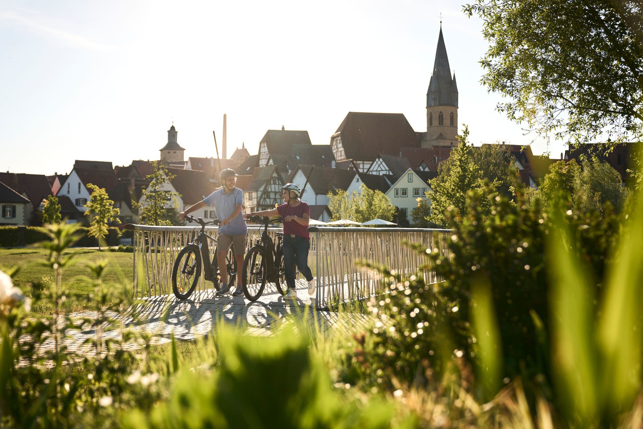
Half-timbered houses and superb cycling tours – the best of the South
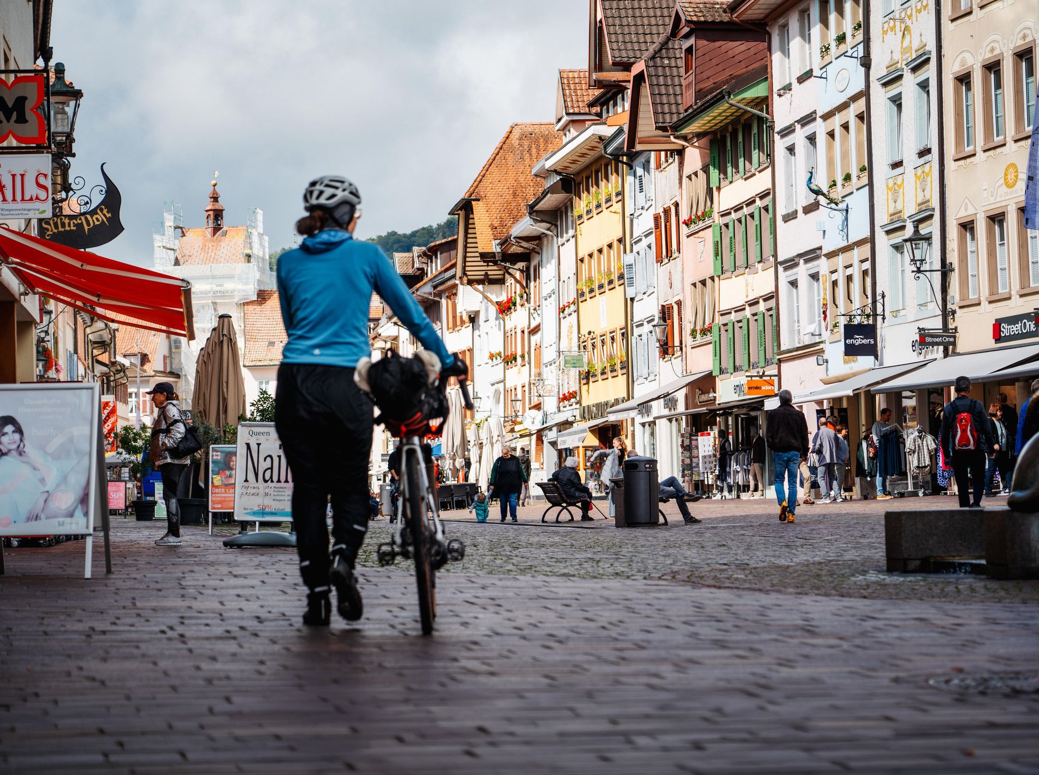
Adventure on two wheels – overnight cycling trips in Baden-Württemberg
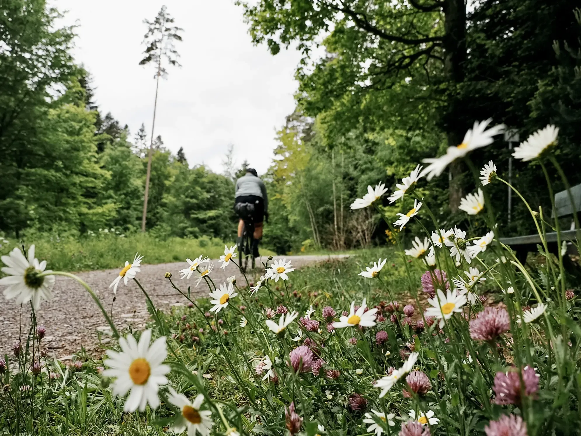
Naturparke-Gravel-Crossing: bikepacking in Baden-Württemberg
Nature Park Gravel Crossing from North to South – Baden-Württemberg
German city hopping: bikepacking in land of 1,000 hills
Natural idylls near cities — hiking in Southern Germany
Romantik zwischen Mannheim und Bayreuth – CYCLE ROUTE Burgenstraße

Lowest to Highest (L2H) in Germany
The Rhine-Neckar-Area's best after-work rides
Other adventures around Mannheim


Tips from the Community

... take a hat with you. When you sweat, the wind blows on the Königstuhl
0
0

Replica of a Celtic wall
0
0

A very beautiful place.
0
0

From here beautiful view of the castle
0
0

This is an excellent photo opportunity with the Karlsplatz fountain and the castle
1
0

A great place to linger. Quieter than the market square and with a direct view of the castle.
1
0

With a view of the castle
1
0

Beautiful view into the distance.
0
0
Frequently Asked Questions
How many mountaineering routes are available around Mannheim?
There are currently 5 mountaineering routes detailed in this guide, all rated as moderate difficulty. These trails are primarily located in the surrounding regions like the Odenwald and Bergstraße, offering varied natural landscapes and significant elevation changes.
What kind of terrain can I expect on mountaineering routes near Mannheim?
The terrain around Mannheim, particularly in the Odenwald and Bergstraße regions, is characterized by dense, ancient woodlands, rolling hills, and varied natural landscapes. You'll encounter forested slopes, rocky outcrops, and scenic valleys, providing a diverse environment for challenging ascents and descents.
Are there any circular mountaineering routes available?
Yes, all the mountaineering routes listed in this guide are circular. For example, you could explore the Ölberg – Schwedenschanze loop from Schriesheim, which covers 6.7 km with 316 meters of elevation gain, offering a rewarding experience through varied terrain.
What is the best time of year for mountaineering near Mannheim?
The surrounding regions like the Odenwald and Bergstraße are beautiful year-round. Spring and autumn offer pleasant temperatures and vibrant foliage, while summer provides longer daylight hours. Winter mountaineering is also possible, but conditions can vary, so always check local weather forecasts and trail conditions before heading out.
Are there any family-friendly mountaineering options?
While all routes in this guide are rated moderate, some might be suitable for families with older, experienced children. For a shorter, yet engaging option, consider the Gaisberg Tower – Sprunghöhe Shelter loop from Heidelberg, which is 8.7 km long and features a steady climb through forested hills to a scenic tower.
What landmarks or points of interest can I see along these routes?
While the routes themselves focus on natural landscapes, the broader region offers historical attractions. For instance, you can find various castles nearby, such as the impressive Mannheim Palace or Seckenheim Castle. Some routes might pass by historical ruins or offer panoramic views of the surrounding area.
Are there longer, more challenging mountaineering routes for experienced hikers?
Yes, for a more robust workout, the Mausbachbrunnen loop from Heidelberg is a moderate 15.0 km path with extensive forest sections and nearly 600 meters of elevation gain, providing a significant challenge for experienced mountaineers.
What do other mountaineers enjoy most about the routes around Mannheim?
The mountaineering routes around Mannheim are highly rated by the komoot community, with an average score of 4.7 stars. Reviewers often praise the dense woodlands, rolling hills, and varied natural landscapes that define the experience, offering a refreshing escape into nature.
Are there options for parking near the starting points of these routes?
While specific parking details for each route are best checked on the individual tour pages, the regions like Odenwald and Bergstraße generally offer parking facilities near popular trailheads. It's advisable to plan your journey and check for designated parking areas in advance.
Can I reach these mountaineering routes using public transport?
Many starting points for trails in the Odenwald and Bergstraße regions are accessible via public transport, particularly from larger towns like Heidelberg. We recommend checking local bus and train schedules to plan your approach to specific trailheads.
Are there any less crowded mountaineering trails near Mannheim?
While popular routes can see more visitors, exploring trails slightly off the main paths or visiting during off-peak hours can lead to a more serene experience. The Hohe Waid Summit Cross – Schanzenköpfle Ruins loop from Leutershausen, at 11.8 km, offers varied natural landscapes and can provide a sense of solitude.
Are there any places to stop for refreshments or accommodation along the routes?
The regions surrounding Mannheim, such as the Odenwald, feature various small towns and villages where you can find cafes, pubs, and guesthouses. While not directly on every trail, many routes pass near or through areas with amenities. For example, you might find shelters like the Forest-edge shelter, Dossenwald, which can be useful rest stops.
Most popular routes around Mannheim
Most popular attractions around Mannheim

Get inspired with the komoot mobile app


Explore more
Browse the best Mountain Hikes & Routes in other regions.
