Stanford In The Vale
Stanford In The Vale
The best walks and hikes around Stanford In The Vale
4.5
(546)
3,686
hikers
227
hikes
Hikes around Stanford in the Vale explore the rural landscape of the Vale of White Horse in Oxfordshire. The region is characterized by rolling hills, open fields, and riverside meadows along the River Ock and its tributaries. Trails often pass through a mix of arable farmland and woodlands like Buckland Warren, with minimal significant elevation changes.
Best hiking trails around Stanford in the Vale
- The most popular hiking route is the Badbury Clump Bluebell Woods – Great Coxwell Tithe Barn…
Last updated: October 12, 2026
5.0
(4)
15
hikers
Moderate hike. Good fitness required. Easily-accessible paths. Suitable for all skill levels.
4.5
(2)
24
hikers
Easy hike. Great for any fitness level. Easily-accessible paths. Suitable for all skill levels.

4.5
(2)
22
hikers
4.86km
01:16
30m
30m
Easy hike. Great for any fitness level. Easily-accessible paths. Suitable for all skill levels.
5.0
(7)
14
hikers
10.3km
02:39
50m
50m
Moderate hike. Good fitness required. Easily-accessible paths. Suitable for all skill levels.
5.0
(6)
13
hikers
10.4km
02:41
50m
50m
Moderate hike. Good fitness required. Easily-accessible paths. Suitable for all skill levels.
Get access to more routes and recommendations from other explorers.
Already have an account?
Our route recommendations are based on thousands of hikes, rides, and runs completed by other people on komoot.
Start today with a free account
Your next adventure awaits.
Tips from the Community


Badbury Hill is home to the Iron Age Badbury Camp, a circular hill fort partially leveled in the 19th century. It’s thought to be a possible site of the Battle of Mons Badonicus. The hill also has a WWII firing range on its west side. Today, Badbury Clump, a nine-acre wooded area, is known for its bluebells in May and is a popular spot for walkers and dog owners. It’s now managed by the National Trust.
2
0


Ancient tithe barn, built for the Monestry
0
0


Famous for it’s Spring time Bluebells and if you are lucky there might be an ice cream van!
0
0
Frequently Asked Questions
Are the walks around Stanford in the Vale suitable for dogs?
Yes, the area is generally dog-friendly. The landscape of open fields and woodland trails offers great opportunities for walking with your dog. However, you will cross arable farmland and areas with livestock, so it's essential to keep your dog on a lead where required. Always check local signage for specific restrictions.
What are the trails like? Are they well-maintained footpaths?
The trails around Stanford in the Vale are quite varied. You'll find a mix of public footpaths across open fields, quiet country lanes, and woodland tracks, particularly in areas like Buckland Warren. While many paths are well-trodden, some field-edge paths can become muddy after rain, so waterproof footwear is recommended.
Are there any easy, family-friendly walks in the area?
Definitely. The region's gentle terrain makes it ideal for families. For a shorter, accessible outing, consider the Buckland Warren loop from Hatford. It's a relatively flat, 3-mile (4.8 km) walk that's manageable for most ages and offers a lovely experience of the local woodland.
Can I find a good circular walk that starts from one of the nearby villages?
Yes, there are several excellent circular routes. A great option that explores the woodland and offers a slightly longer walk is the Buckland Warren loop from Buckland. This 6.5-mile (10.4 km) trail provides a comprehensive tour of the area's characteristic scenery, starting and finishing in the charming village of Buckland.
Are there any walks that include a stop at a pub?
Many routes pass through or near villages with traditional pubs. Stanford in the Vale itself has pubs that can be the start or end point of your walk. You can plan a route that loops back to the village for a rewarding meal or drink after your hike.
Where is the best place to park for a walk?
For walks starting in Stanford in the Vale, on-street parking is available, but please park considerately. For routes starting elsewhere, such as near Faringdon for the Badbury Clump trails, there is a car park at the National Trust site which is a convenient starting point for several walks.
How many hiking trails are there to choose from around Stanford in the Vale?
There is a wide selection of routes to explore. On komoot, you can find over 200 trails in the region, ranging from short, easy strolls to more challenging moderate hikes, ensuring there's a walk for every fitness level.
What do other hikers think of the routes in this area?
The hiking routes around Stanford in the Vale are highly regarded by the komoot community, with an average rating of 4.5 stars. Reviewers often praise the peacefulness of the countryside, the beautiful woodland sections, and the expansive views across the Vale of White Horse.
Can I hike to the Uffington White Horse from Stanford in the Vale?
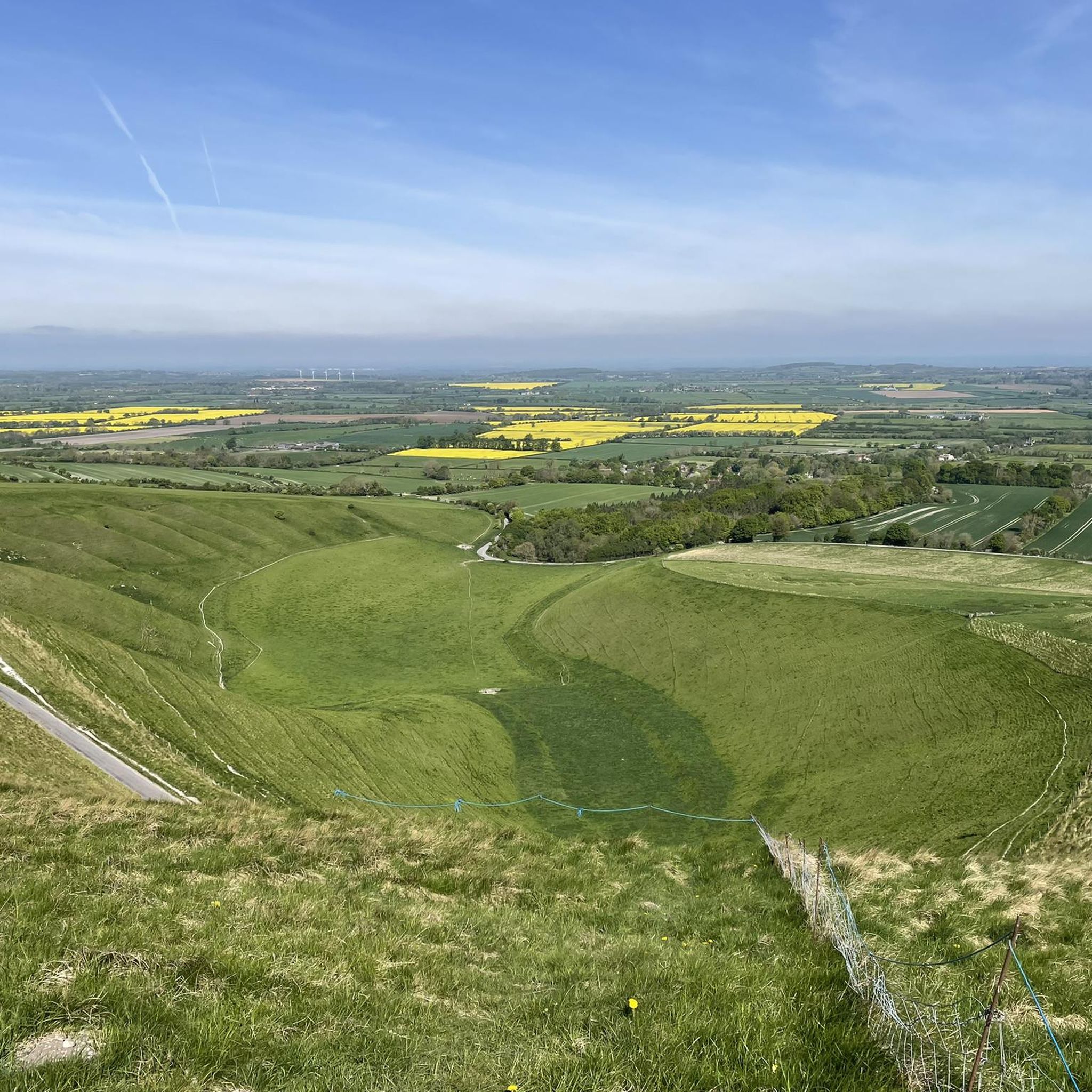
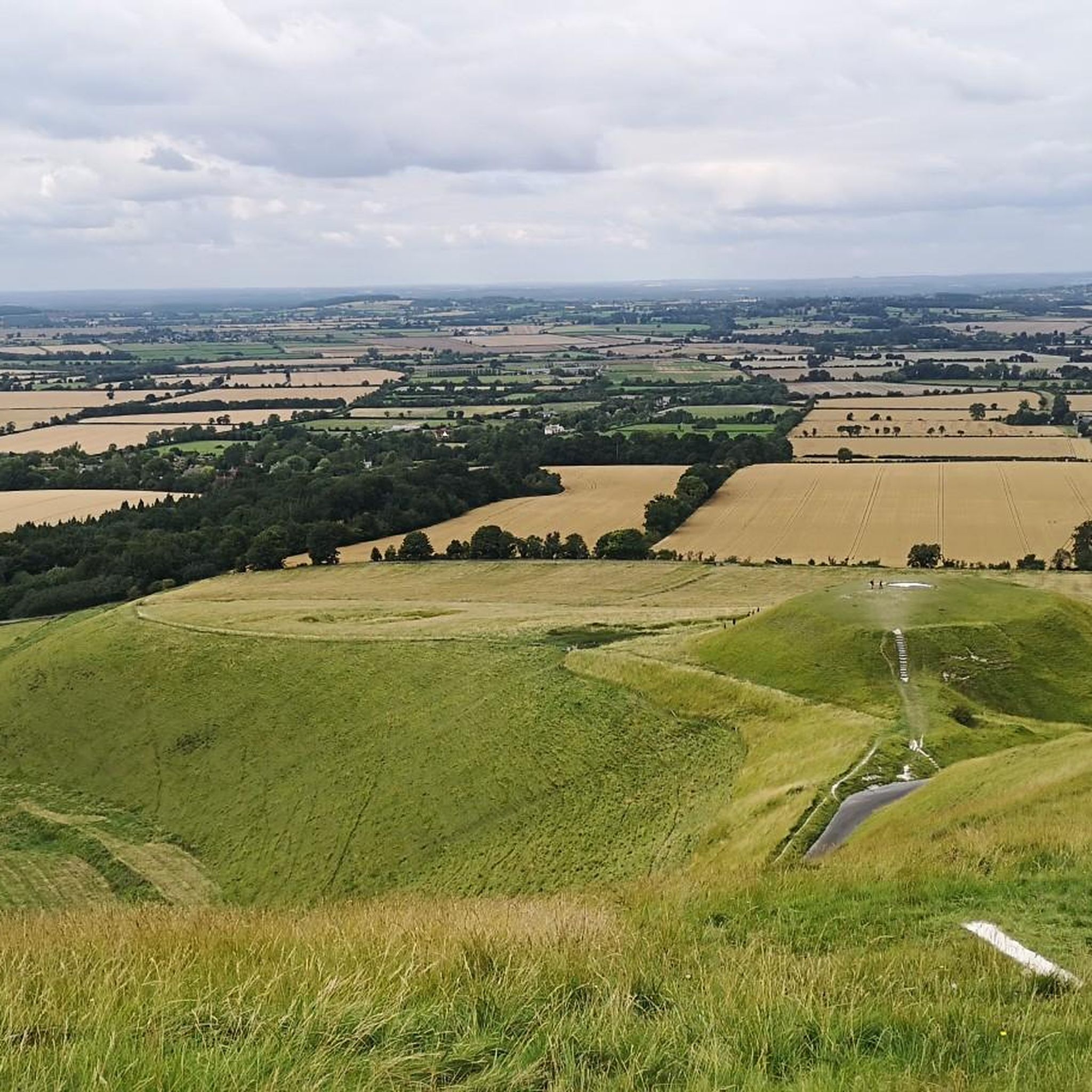
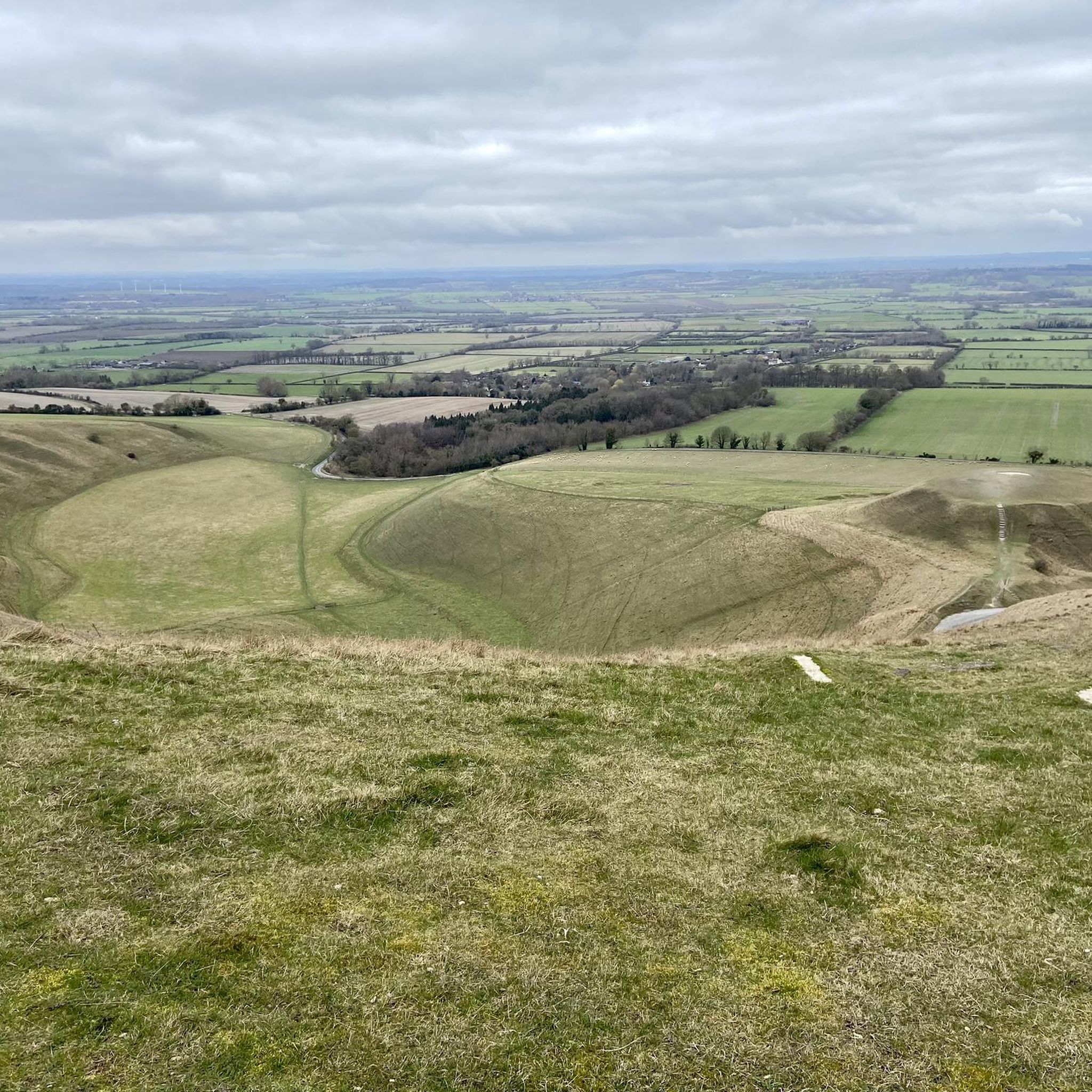
While a direct walk would be a very long-distance trek, it's more practical to drive a short distance to the base of the Ridgeway. From there, you can take one of several fantastic circular walks that explore the iconic Uffington White Horse, Uffington Castle, and the dramatic landscape of The Manger.
What is the best time of year to see the bluebells at Badbury Clump?
The woodlands at Badbury Clump are famous for their spectacular bluebell displays. The best time to visit is typically in late April and early May, when the flowers are in full bloom, creating a stunning carpet of blue across the woodland floor.
Are there any long-distance paths that pass near Stanford in the Vale?
Yes, the region is close to some significant long-distance trails. The Vale Way, which connects Faringdon and Wantage, passes nearby. Additionally, Britain's oldest road, The Ridgeway National Trail, is just a short drive away and offers miles of exceptional hiking with panoramic views.
Most popular attractions around Stanford In The Vale

Get inspired with the komoot mobile app


Explore more
Browse the best Hikes in other regions.
