The best running trails around Enzklösterle
4.7
(161)
1,738
runners
146
runs
Jogging around Enzklösterle offers routes through the northern Black Forest, characterized by dense woodlands, river valleys, and gentle hills. The region's terrain provides a mix of forest paths and open stretches suitable for various running preferences. The Enz River flows through the area, influencing some of the available running routes. This landscape supports a range of running experiences, from easy jogs to more challenging long distance jogs Enzklösterle.
Best jogging routes around Enzklösterle
- The most popular jogging route is Kaltenbronn…
Last updated: July 5, 2026
3.0
(2)
47
runners
8.70km
00:57
100m
100m
Moderate run. Good fitness required. Mostly paved surfaces. Suitable for all skill levels.
13
runners
Moderate run. Good fitness required. Mostly paved surfaces. Suitable for all skill levels.

Sign up for free
5.0
(1)
16
runners
20.7km
02:13
250m
250m
Hard run. Very good fitness required. Mostly paved surfaces. Suitable for all skill levels.
5.0
(1)
18
runners
18.7km
02:18
510m
510m
Hard run. Very good fitness required. Mostly paved surfaces. Suitable for all skill levels.
7
runners
9.66km
01:10
230m
230m
Moderate run. Good fitness required. Mostly paved surfaces. Suitable for all skill levels.
Get access to more routes and recommendations from other explorers.
Sign up for free
Already have an account?
Our route recommendations are based on thousands of hikes, rides, and runs completed by other people on komoot.
Start today with a free account
Your next adventure awaits.
Login or Signup
Popular around Enzklösterle
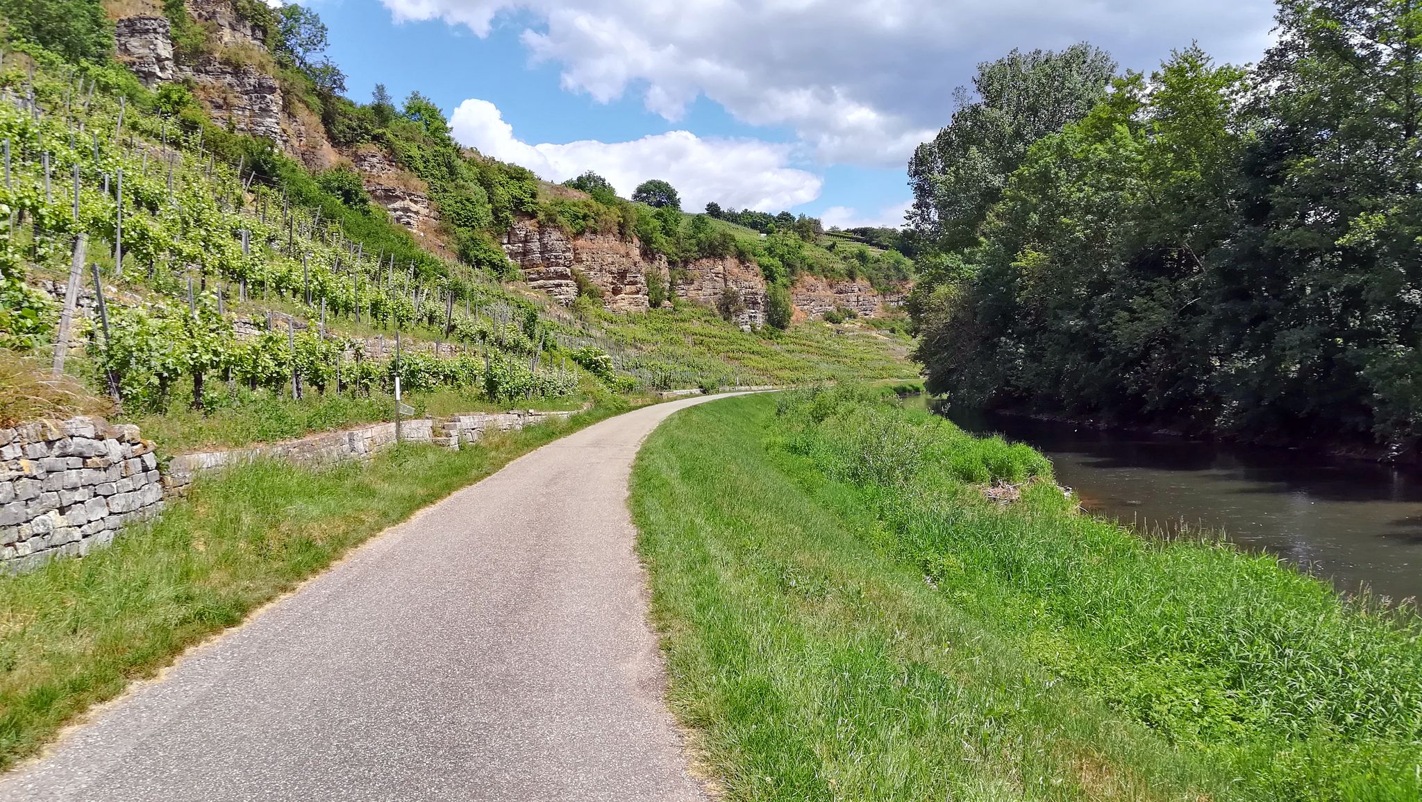
The Enztal cycle path – From the Black Forest to the Neckar River
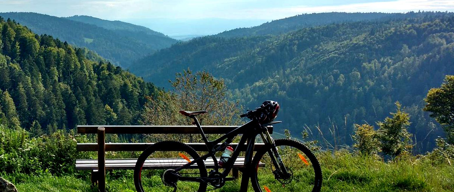
The Black Forest Crossing – From north to south in eight days
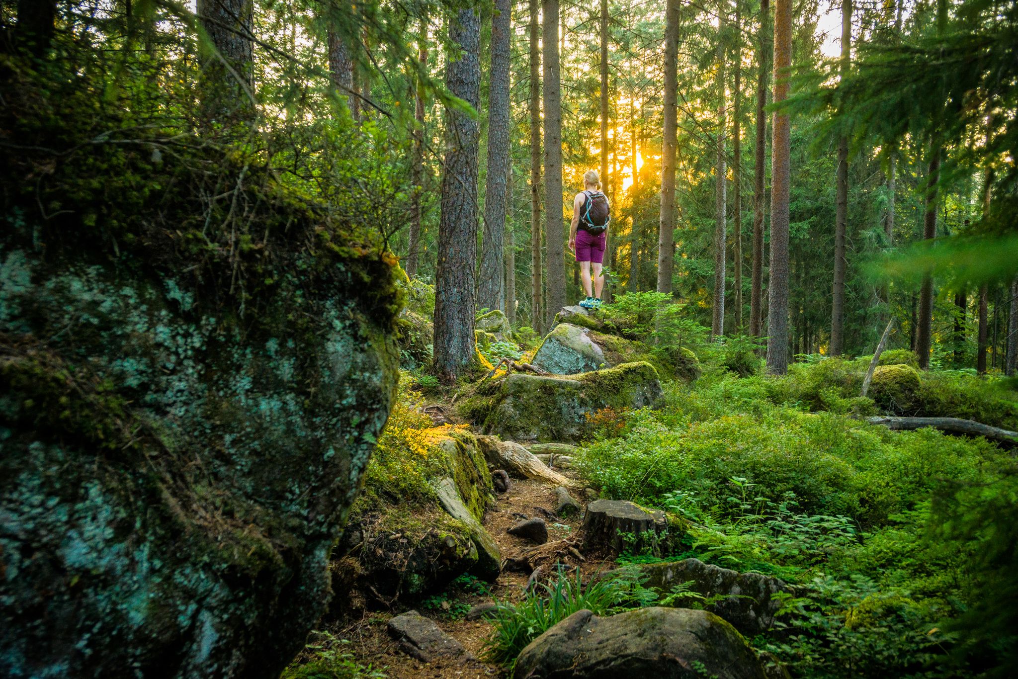
Where the forest whispers and the trails enchant
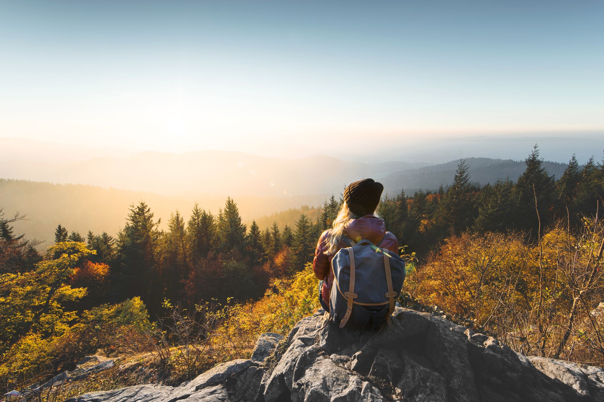
Right into the adventure – experience nature in Baden-Württemberg
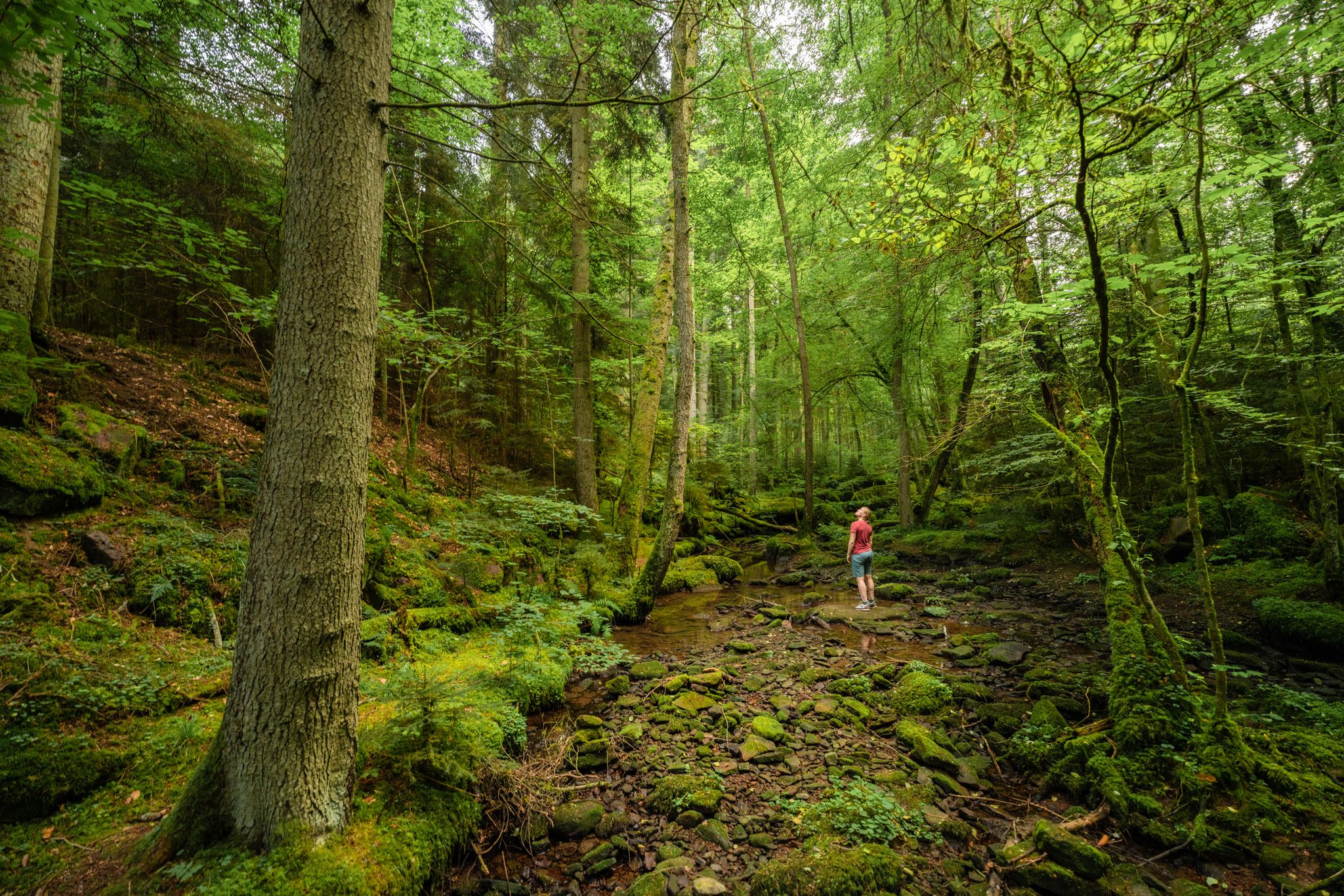
Superb adventures – the best hiking Tours in the Northern Black Forest

Hiking in the summer resort of the Northern Black Forest
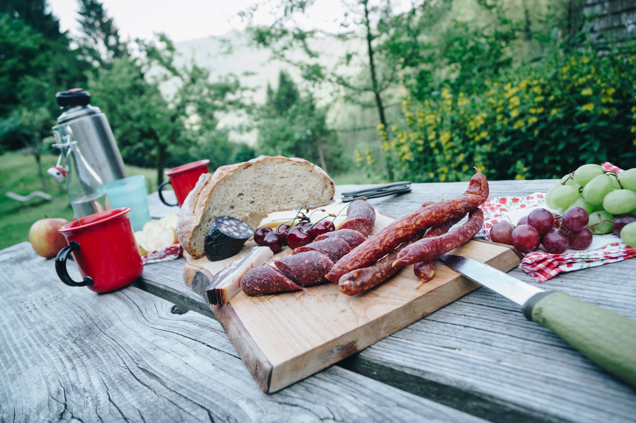
Cheese, blueberries and ham – snacks on Black Forest Genießerpfade
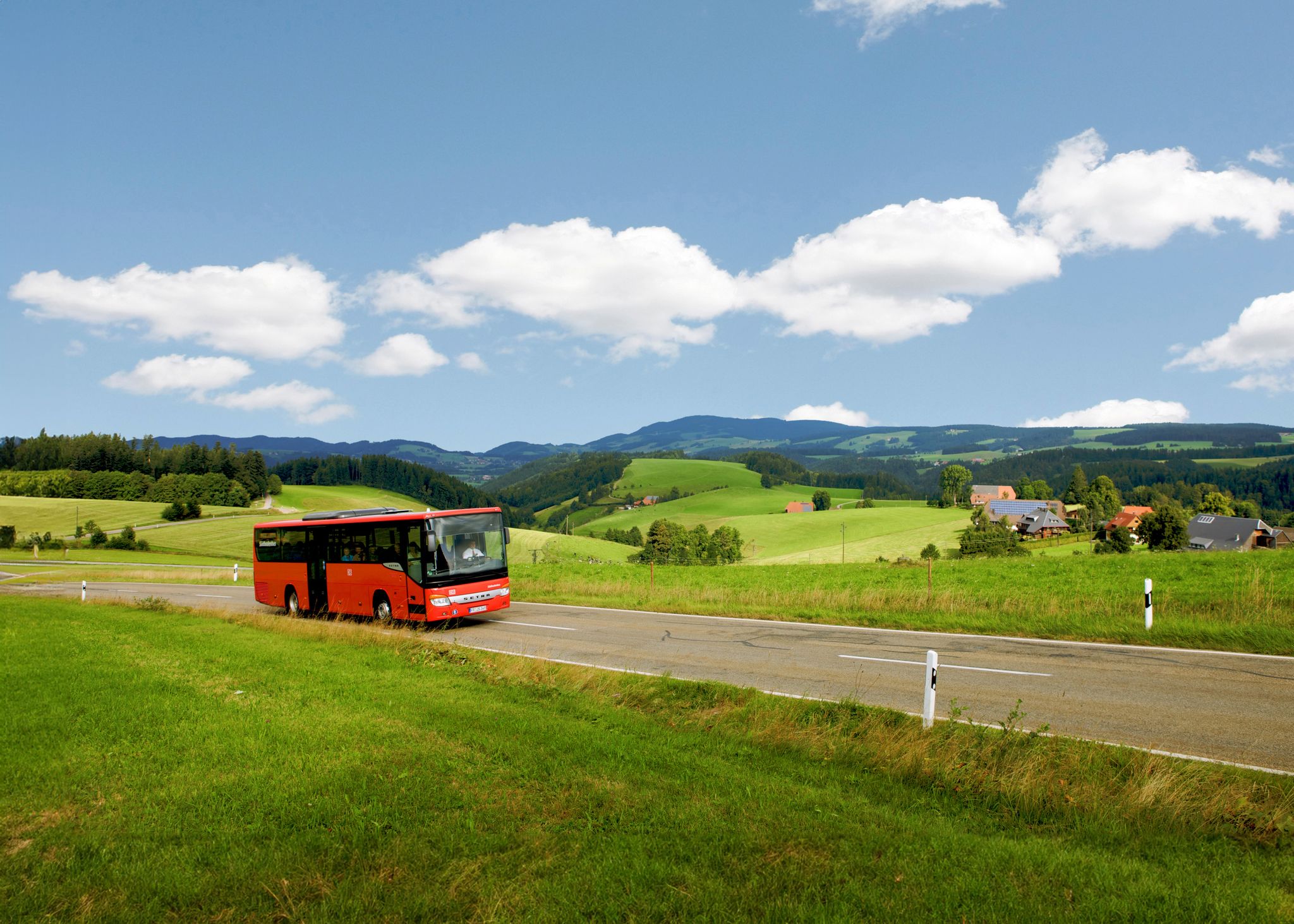
Sustainable travel – hikes that you can enjoy without a car
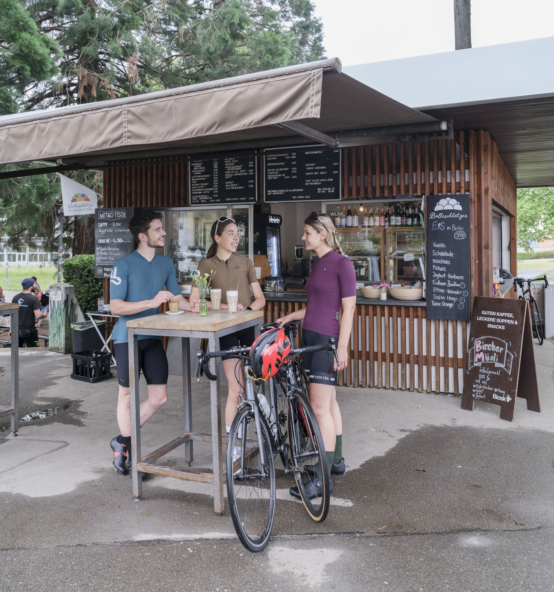
Espresso, ice cream and racing bikes – a dream mix in the Black Forest
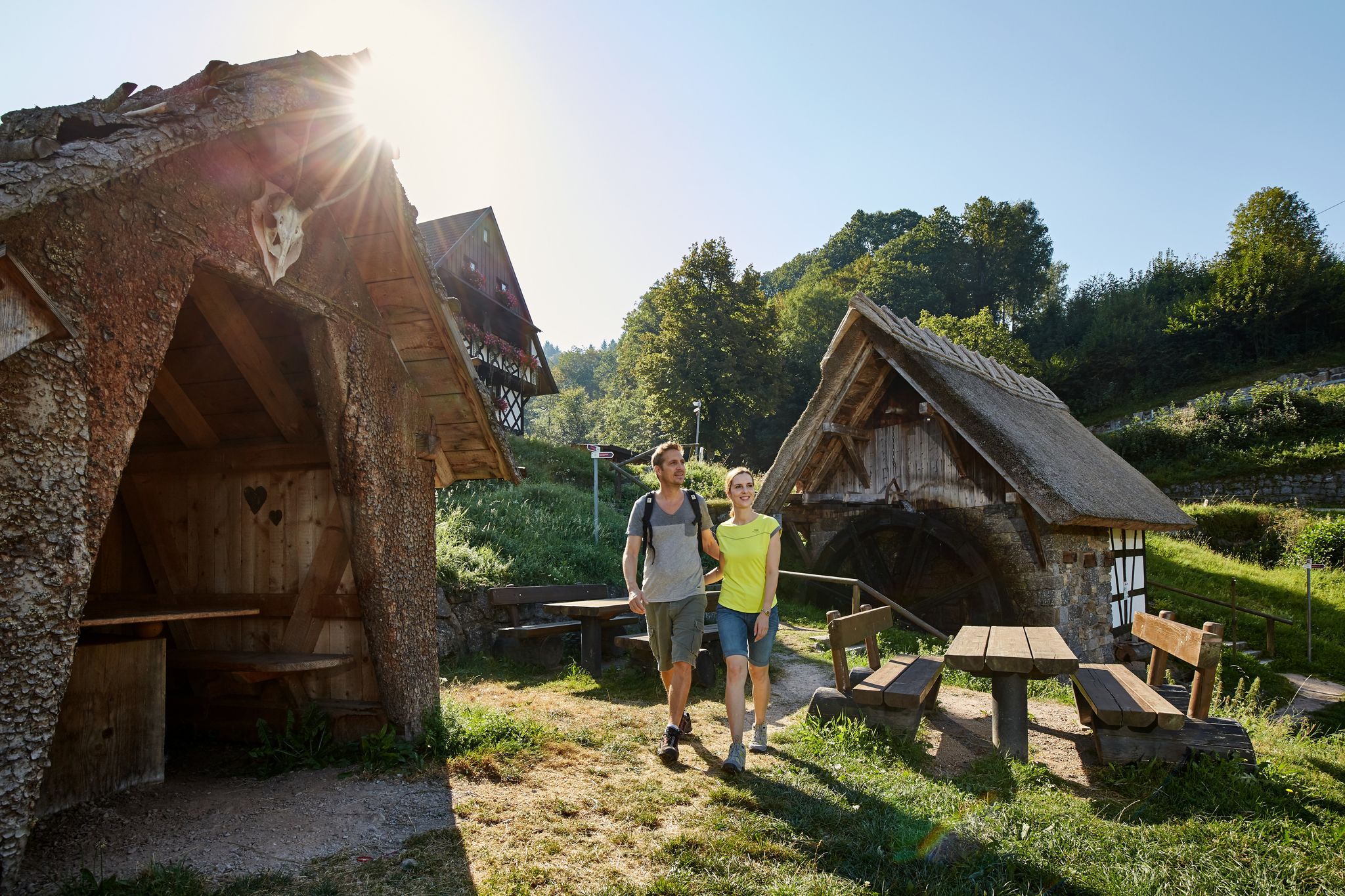
The best in the south: premium and quality hikes in Baden-Württemberg
Other adventures around Enzklösterle


Tips from the Community

The Baumwipfelpfad Schwarzwald is a 1250 m long treetop path on the Sommerberg west of Bad Wildbad in the district of Calw, Baden-Württemberg, at an altitude of about 750 m above sea level. It was built according to plans by the Schönberg architect Josef Stöger. The facility, opened in 2014, offers knowledge about the forest and its wildlife at various information stations, as well as an observation tower. It is operated by the company Erlebnis Akademie AG. The entrance to the path can be reached from the mountain station of the Sommerbergbahn funicular via the Emmaweg or from the public car park via a zigzag path. The treetop path runs for a length of about 636 m and a height above ground between about 4 and 20 m. It follows the terrain with a constant gentle gradient and offers various didactic stations as well as experience stations such as balance beams or wobbly elements. In addition, there are 15 comic panels along the path, which are intended to provide excitement and convey knowledge, especially to children, as part of a treetop path comic rally. The entire path, including the ramp access in the observation tower, is barrier-free and reaches a maximum gradient of 6%. At the end of the path, you reach a 38.5 m high observation tower, which is mainly made of wood and, due to the arrangement of twelve doubly inclined, layer-glued main supports, looks like a large twisted cup. The supports are arranged rotationally symmetrically at the same distance from each other and are inclined both outwards and clockwise. They are connected to each other by steel tubes, cross-braced multiple times, and partly protected against the weather by sheet metal cladding. Access from the path into the tower is at a height of about five meters on the second turn of the 614 m long access ramp, which runs within the support columns, and which, after a total of nine turns, reaches the twelve-sided, approximately ring-shaped observation platform. This is attached to the outside of the supports with steel cantilevers and offers a view far into the Black Forest, the Rhine Valley, and the Swabian Jura. Orientation arrows to visual targets and to the other treetop paths of the operating company are attached to the parapet. At a height of 25 m, between the access ramp and a steel tube support standing in the middle of the tower, there is a triangular platform, from which a 55 m .....
0
0

The Wasserstube Vorderes Neubachstüble on the Kleine Enz is a historic weir from the era of timber rafting. It was used to impound water in order to generate sufficient surge water when needed for the transport of timber rafts. Today, there is a beautiful resting place here directly at the weir.
5
0
Historic boundary stone shortly before Aichelberg with the Württemberg coat of arms.
5
0
Beautiful spot on the Kälberbach with a small waterfall that can be reached by descending a path from the hiking trail.
5
0
View through a small forest clearing onto Sprollenhaus. There is also an information board for the Aichelberger Traumtour with a QR code for further information.
5
0
On several information boards, the water supply in the mountain villages is explained. In September 1897, the structures at Kälbermühle were built, and a short time later, the pressure pipeline to the main Hünerberg reservoir. In front of the historical, very beautifully designed building, there is also a resting bench.
5
0
Quite a tall giant sequoia directly on the forest path between Fautsburg and Hünerberg.
6
0
The Fautsburg is a small spur castle that served as a refuge several times. It dates back to the 12th century and originally consisted of a small tower castle on a rock. It is separated from the mountain by a mighty moat, which was hewn out of the rock. The stones obtained during the construction of the moat were used to erect the tower, which is the only building still existing today. The Fautsburg hides today in deep forests and, even as a ruin, does justice to its function as a refuge both in terms of its structure and its atmosphere.
4
0
Frequently Asked Questions
How many running routes are available around Enzklösterle?
There are over 115 running routes around Enzklösterle, offering a wide variety of experiences through the northern Black Forest. These include options for all skill levels, from easy jogs to challenging long-distance runs.
Are there easy running routes suitable for beginners in Enzklösterle?
Yes, Enzklösterle offers 8 easy running routes perfect for beginners or those looking for a relaxed jog. These trails typically feature gentler terrain and shorter distances, allowing you to enjoy the scenic woodlands without excessive challenge.
What are some challenging running trails in the Enzklösterle area?
For experienced runners seeking a challenge, there are 48 difficult routes. One notable option is the Wildsee raised bog – Green Hut loop from Kaltenbronn, which spans 12.9 miles (20.8 km) with significant elevation changes, offering a demanding workout through expansive natural landscapes.
Can I bring my dog on the running trails around Enzklösterle?
Many trails in the Black Forest region are dog-friendly, allowing you to enjoy your run with your canine companion. It's always recommended to keep dogs on a leash, especially in nature reserves or near wildlife, and to check local regulations for specific routes.
Are there any family-friendly running options in Enzklösterle?
While specific 'family-friendly' designations aren't always explicit for running routes, the 8 easy routes are generally suitable for families looking for a gentle jog together. These paths often feature well-maintained surfaces and less strenuous climbs, making them accessible for various ages.
What kind of scenery can I expect on the running routes in Enzklösterle?
Running routes in Enzklösterle are characterized by dense Black Forest woodlands, picturesque river valleys, and rolling hills. You'll encounter a mix of forest paths and open stretches, with the Enz River often influencing the landscape, providing a refreshing natural backdrop for your run.
What do other runners enjoy most about jogging in Enzklösterle?
The running routes in Enzklösterle are highly rated by the komoot community, with an average score of 4.7 stars from over 120 reviews. Runners often praise the varied terrain, the tranquility of the Black Forest, and the well-maintained paths that cater to different running preferences.
Are there any long-distance running options available?
Yes, Enzklösterle offers several routes suitable for long-distance running. For example, the Wildsee raised bog – Green Hut loop from Kaltenbronn is a challenging 12.9-mile (20.8 km) trail, ideal for those looking to cover significant distances.
What can I see along the running routes or nearby Enzklösterle?
Beyond the natural beauty, you can explore several interesting points. The Source of the Enz – Gompelscheuer Protected Forest Trail loop from Enzklösterle takes you to the origin of the Enz River. Additionally, nearby attractions include various mountain passes and the Sommerberg Ski Hut.
Are there running routes that offer good viewpoints?
While specific viewpoint routes are not explicitly detailed, the hilly terrain of the Black Forest naturally provides many elevated sections that offer scenic vistas. Routes like the View of Sprollenhaus – Kälberbach Trail loop from Aichelberg are designed to showcase the region's panoramic beauty.
When is the best time of year to go running in Enzklösterle?
The spring, summer, and early autumn months generally offer the most pleasant conditions for running in Enzklösterle, with mild temperatures and vibrant natural scenery. The dense forests provide shade during warmer days, while autumn brings beautiful foliage. Winter running is possible, but trails may be snowy or icy.
Are there circular running routes available?
Yes, many of the running routes around Enzklösterle are designed as loops, allowing you to start and finish at the same point. Examples include the Kaltenbronn Red Deer Enclosure – Wildsee raised bog loop from Kaltenbronn and the View of the Kleine Enz Valley – Fautsburg Tower loop from Aichelberg.
Most popular routes around Enzklösterle
Most popular attractions around Enzklösterle

Get inspired with the komoot mobile app


Explore more
Browse the best Running Trails & Routes in other regions.
