The best road cycling routes around Tadlow
4.6
(141)
4,137
riders
129
rides
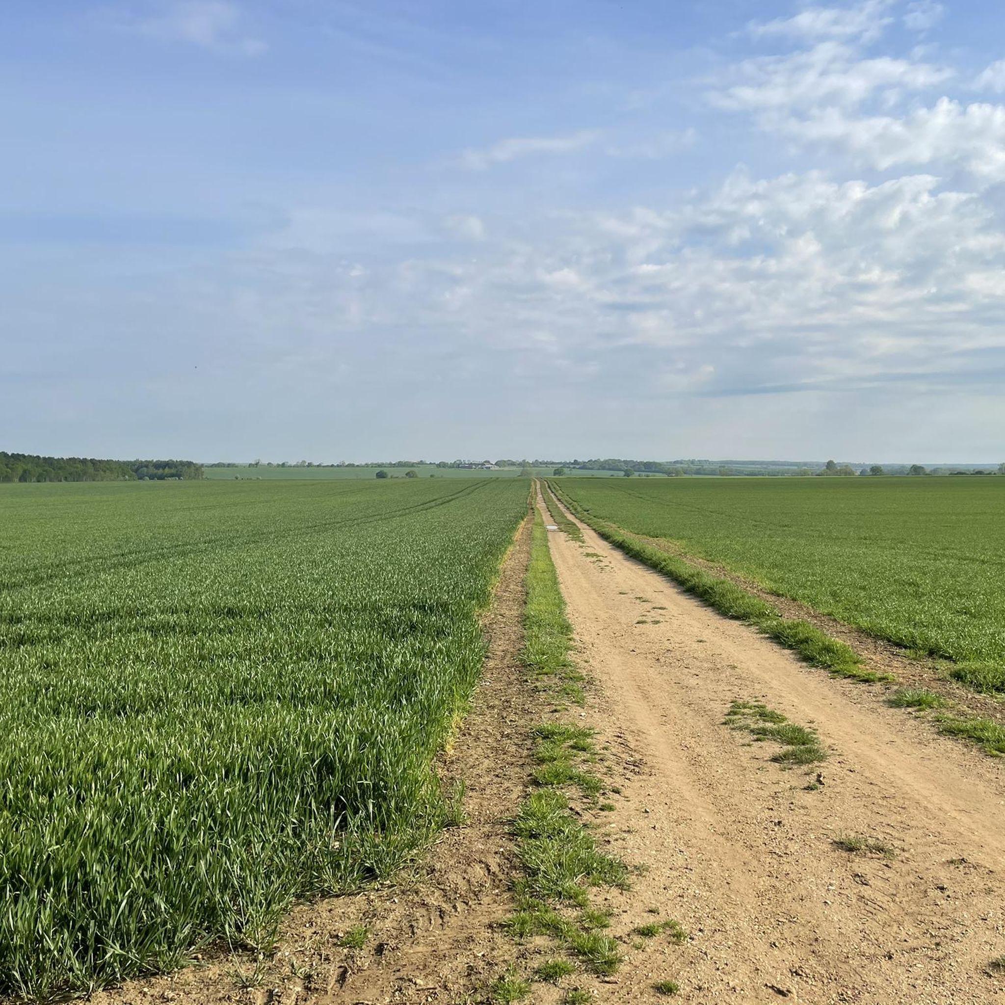
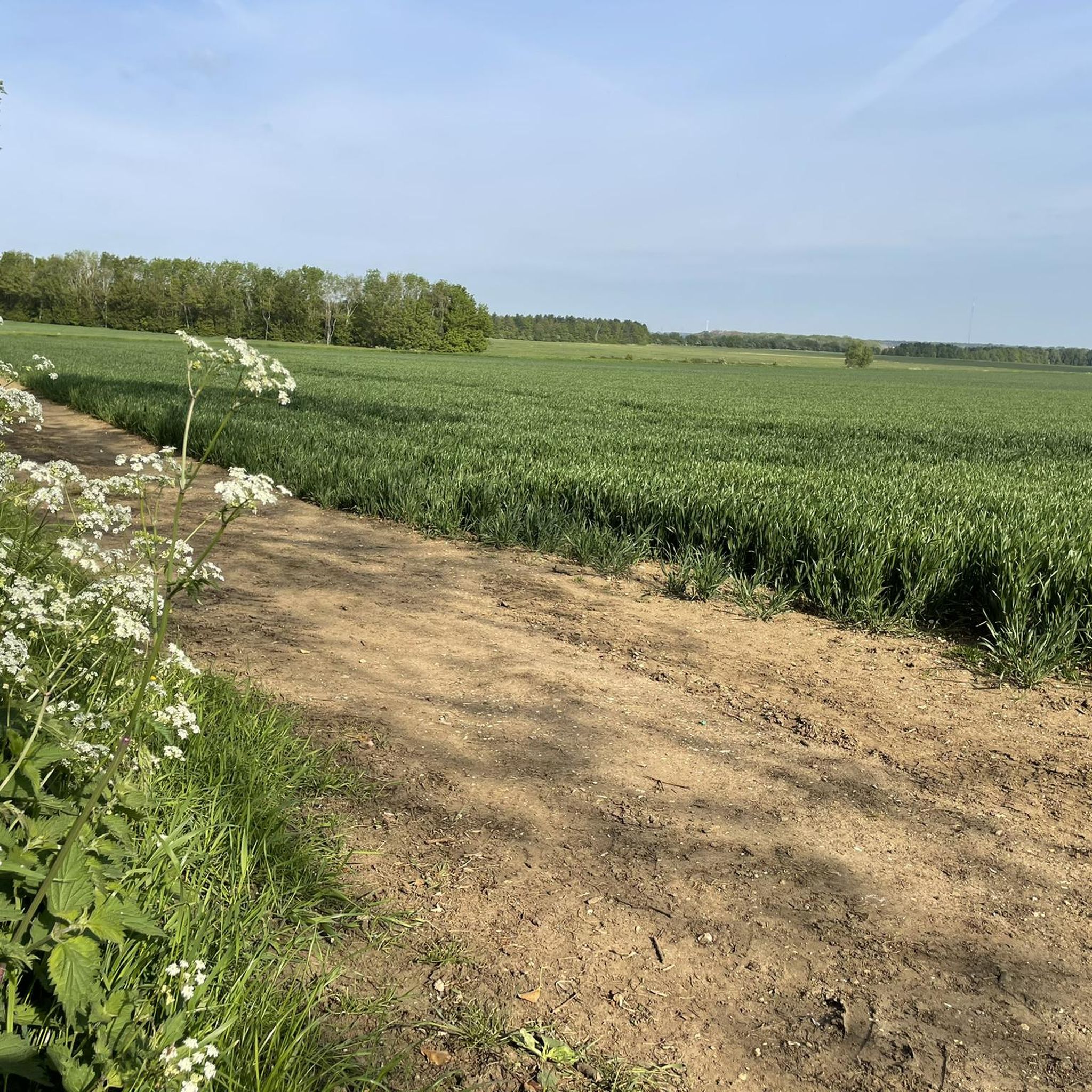
Road cycling routes around Tadlow are characterized by the predominantly flat terrain of South Cambridgeshire, offering accessible rides for various skill levels. The area features gentle elevation changes, typically ranging from less than 30 meters to 75 meters above sea level. Cyclists can expect an extensive network of quiet country roads that traverse agricultural landscapes and open vistas. The presence of the River Cam (Rhee) contributes to the local natural beauty.
Best road cycling routes around Tadlow
- The most popular…
Last updated: July 2, 2026
5.0
(1)
76
riders
58.0km
02:19
280m
280m
Moderate road ride. Good fitness required. Mostly well-paved surfaces and easy to ride.
4.7
(7)
37
riders
Easy road ride. Great for any fitness level. Mostly well-paved surfaces and easy to ride.

Sign up for free
31
riders
38.4km
01:33
170m
170m
Easy road ride. Great for any fitness level. Mostly well-paved surfaces and easy to ride.
25
riders
59.1km
02:27
300m
300m
Moderate road ride. Good fitness required. Mostly well-paved surfaces and easy to ride.
22
riders
21.3km
00:53
110m
110m
Moderate road ride. Great for any fitness level. Some segments of this route may be unpaved and difficult to ride.
Get access to more routes and recommendations from other explorers.
Sign up for free
Already have an account?
Our route recommendations are based on thousands of hikes, rides, and runs completed by other people on komoot.
Start today with a free account
Your next adventure awaits.
Login or Signup
Tips from the Community


Southill Tea Rooms is a charming village tea room offering delicious cakes and light bites, including a bacon roll.
1
0

Radio interferometry started in the mid-1940s on the outskirts of Cambridge, but with funding from the Science Research Council and a corporate donation of £100,000 from Mullard Limited, a leading commercial manufacturer of thermionic valves. Construction of the Mullard Radio Astronomy Observatory commenced at Lords Bridge Air Ammunition Park,[1] a few kilometres to the west of Cambridge. The observatory was founded under Martin Ryle of the Radio-Astronomy Group of the Cavendish Laboratory, University of Cambridge and was opened by Sir Edward Victor Appleton on 25 July 1957. This group is now known as the Cavendish Astrophysics Group. (https://en.wikipedia.org/wiki/Mullard_Radio_Astronomy_Observatory)
3
0

Visit The Blackbird's Nest Mobile Coffee Shop, based in Barrington church car park. Tuesday-Saturday 8am to 12pm. Serving outrageously good coffee, tea, soft drinks, pastries, and cooked breakfast rolls
0
0

War Memorial on former airfield worth a few minutes stop.
0
0

New tarmac on a wide road with hardly any traffic makes a great stretch for an interval segment.
0
0
Views over fields to Shuttleworth House - Shuttleworth House, within Old Warden Park, was built 1875-76 for Joseph Shuttleworth. 1 It's a Victorian homage to Jacobean style, designed by Henry Clutton. 1 Later, it became part of a trust, honoring Richard Shuttleworth, and now showcases rich family history
0
0
Frequently Asked Questions
How many road cycling routes are available around Tadlow?
There are over 130 road cycling routes available around Tadlow, offering a variety of options for different skill levels and preferences. You'll find 61 easy routes and 76 moderate routes to explore.
What is the terrain like for road cycling in Tadlow?
The terrain around Tadlow is predominantly flat, characteristic of South Cambridgeshire, with gentle elevation changes typically ranging from less than 30 meters to 75 meters above sea level. This makes it accessible for cyclists of varying skill levels and ideal for leisurely rides or longer distances without significant climbs.
Are there options for beginner road cyclists in Tadlow?
Yes, Tadlow is well-suited for beginner road cyclists. The area features many quiet country roads and generally flat terrain. There are 61 easy routes available, such as the Eyeworth Trig Point – Croydon Hill 10% Climb loop from Guilden Morden, which is 23.9 miles long and leads through gentle hills and agricultural fields.
Can experienced road cyclists find challenging routes near Tadlow?
While the region is generally flat, experienced road cyclists can find moderate challenges. There are 76 moderate routes available, including longer distances and some routes with more varied elevation. For example, the Chapel Hill Climb – RAF Steeple Morden Memorial loop from Tadlow is a 38.9-mile route that navigates quiet rural lanes and agricultural fields, offering a good workout.
What kind of scenery can I expect on road cycling routes around Tadlow?
Cyclists around Tadlow can expect classic English countryside views, characterized by rolling agricultural fields, open vistas, and a peaceful atmosphere. The presence of the River Cam (Rhee) also contributes to the area's natural beauty, providing a scenic backdrop for your rides.
Are there any interesting landmarks or attractions to see along road cycling routes near Tadlow?
Yes, there are several interesting landmarks and attractions nearby. The significant Wimpole Hall and Gardens, a National Trust property, is approximately 4.4 miles from Tadlow. Other points of interest include Wimpole's Folly, the Greenwich Meridian marker at Orwell, and the Steeple Morden Airfield Memorial.
Are there circular road cycling routes available in Tadlow?
Many of the road cycling routes around Tadlow are designed as loops, allowing you to start and finish in the same location. For instance, the Cockayne Climb – Wooden Chairs Rest Area loop from Wrestlingworth is a 21.3-mile circular route that offers a moderate ride through the countryside.
Where can I find information about cycling networks and maps in Cambridgeshire?
Cambridgeshire County Council provides extensive information on walking and cycling networks suitable for all ages and abilities. You can find maps and further details on their website, for example, at cambridgeshire.gov.uk.
What is the best time of year to go road cycling around Tadlow?
The best time to go road cycling around Tadlow is typically during the spring, summer, and early autumn months when the weather is milder and the agricultural landscapes are vibrant. The quiet country roads offer a pleasant experience during these seasons.
Are there places to stop for refreshments like cafes or pubs on routes near Tadlow?
While specific cafes or pubs directly on every route are not listed, the rural villages surrounding Tadlow often have local pubs and small shops where you can stop for refreshments. Exploring these local establishments can be a charming part of your cycling experience.
Is parking available for road cyclists in Tadlow?
As Tadlow is a small village, dedicated cycling parking facilities might be limited. However, cyclists often find suitable parking in village centers or near local amenities, respecting local regulations. For routes starting from nearby towns or attractions like Wimpole Estate, specific parking areas are usually available.
What do other road cyclists enjoy most about the routes around Tadlow?
The road cycling routes around Tadlow are highly rated by the komoot community, with an average score of 4.6 stars from over 130 reviews. Cyclists often praise the peaceful atmosphere, the extensive network of quiet country roads, and the scenic agricultural landscapes that provide a serene escape.
Can I find longer road cycling routes for extended rides from Tadlow?
Yes, for extended rides, you can find longer routes such as the Ashwell Village and Springs – Old Warden Scenic Route loop from Gamlingay. This moderate route covers 36.9 miles (59.4 km) and takes you through varied scenery, perfect for a longer day out on the bike.
Most popular attractions around Tadlow

Get inspired with the komoot mobile app


Explore more
Browse the best Road cycling routes in other regions.
