The best walks and hikes around Luxborough
4.6
(737)
5,013
hikers
273
hikes
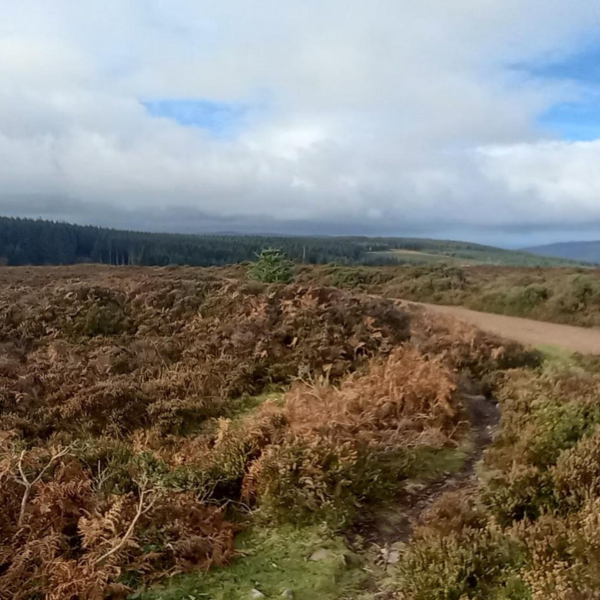
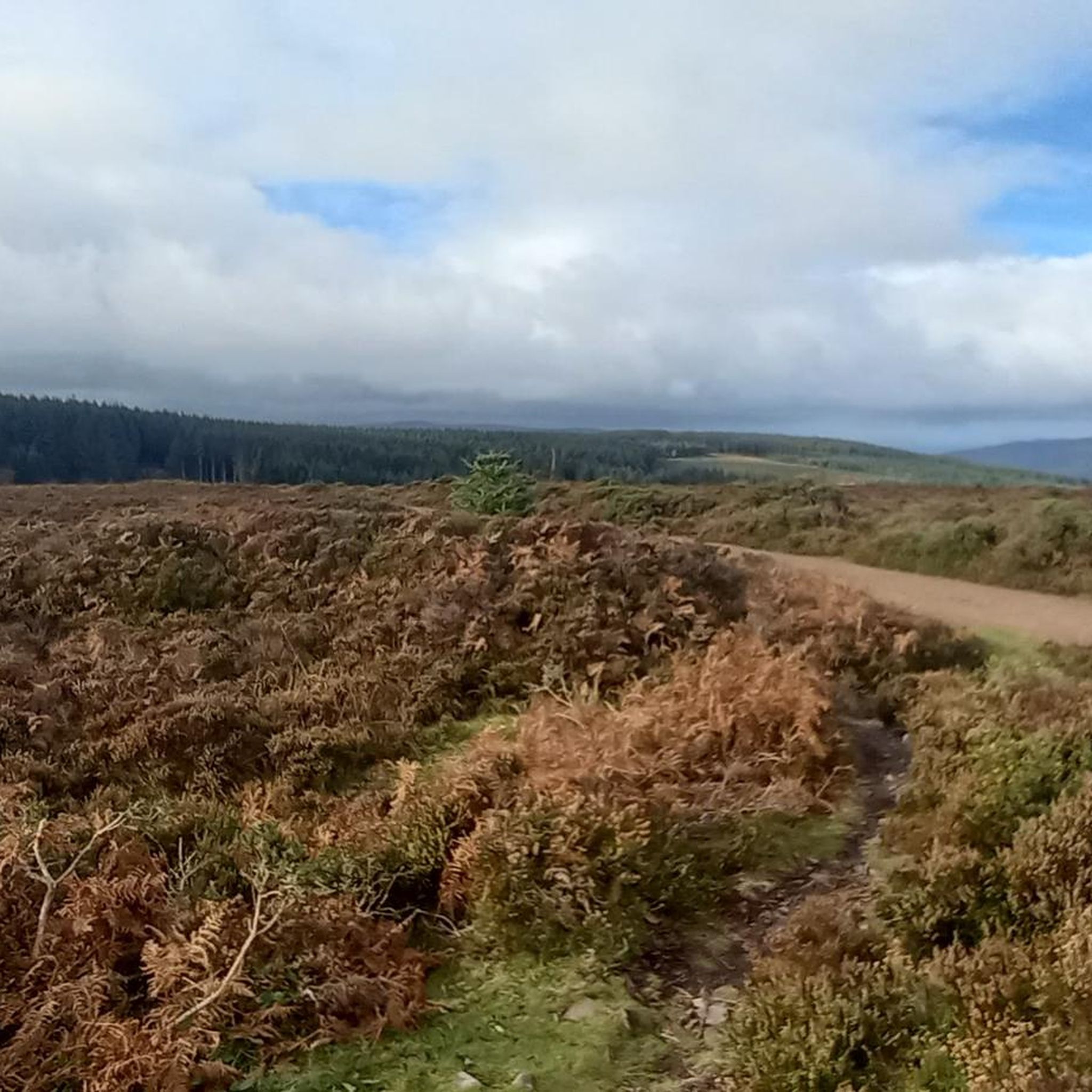
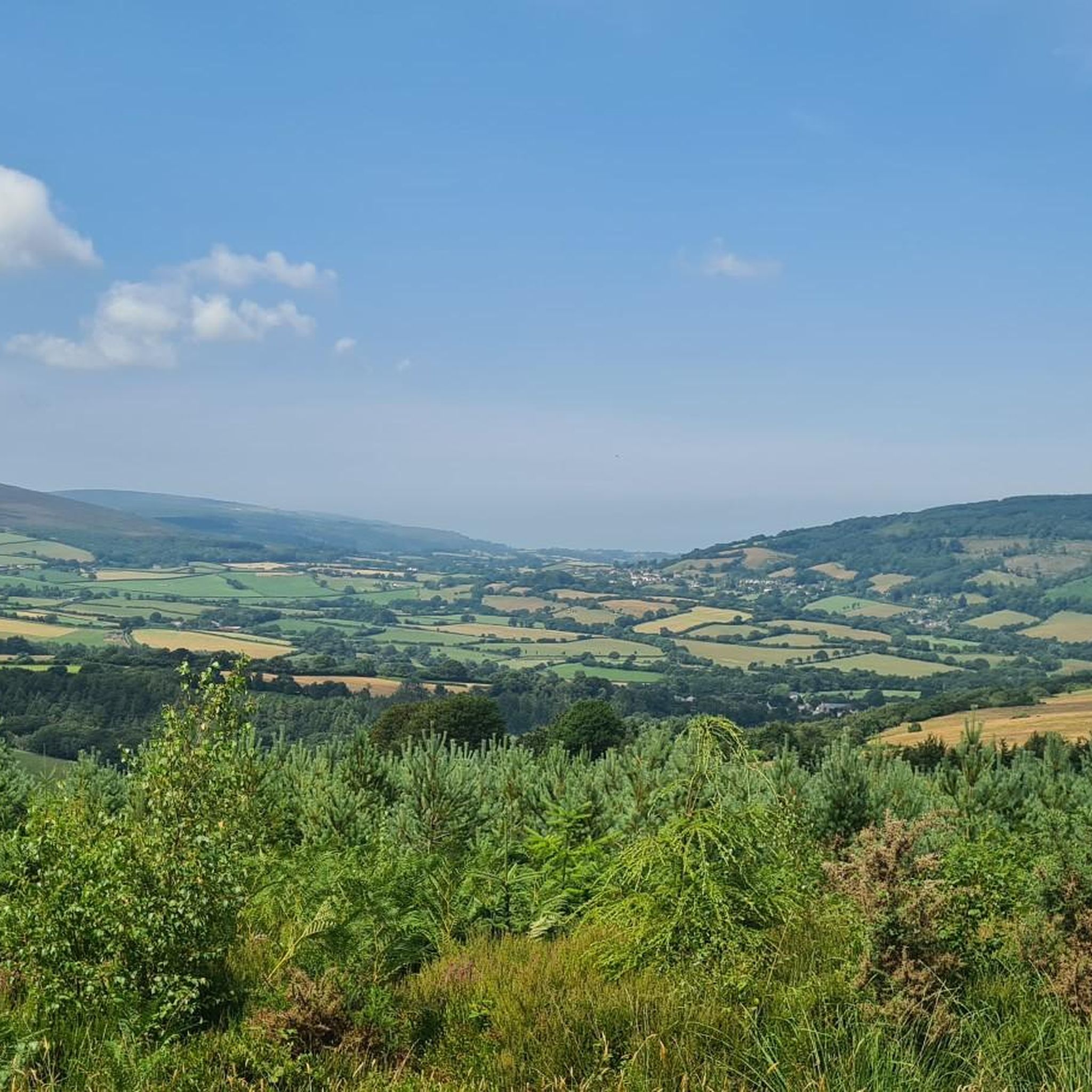
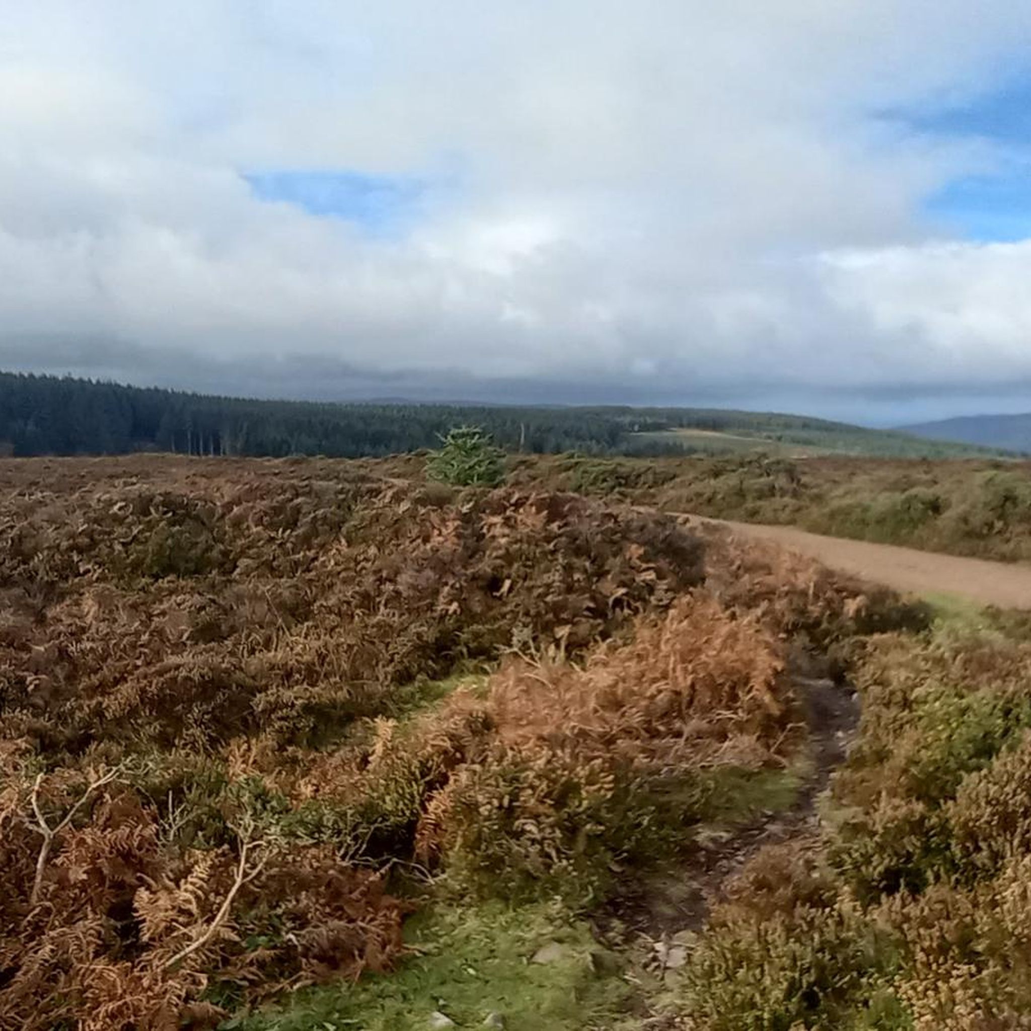
Hiking around Luxborough offers access to the diverse landscapes of Exmoor National Park in Somerset, England. The area is characterized by the rolling Brendon Hills, including Croydon Hill, which provide wooded and farmed terrain with narrow combes. The Washford River meanders through the valley, adding a natural feature to many routes. Deeply wooded areas and expansive meadows create varied environments for exploration.
Best hiking trails around Luxborough
- The most popular hiking route is Roadwater and the Brendon Hills loop — Exmoor National Park, an 8.4 miles (13.5 km) trail that takes 4 hours 3 minutes to complete. This moderate route explores the Brendon Hills within Exmoor National Park.
- Another top favourite among local hikers is Bat's Castle and Gallox Hill loop from Timberscombe, a moderate 7.8 miles (12.6 km) path. This route offers panoramic views of Exmoor and passes historical sites.
- Local hikers also love the Churchtown and Chargot House loop from Kingsbridge, an 8.1 miles (13.0 km) trail leading through Exmoor National Park, often completed in about 3 hours 49 minutes.
- Hiking around Luxborough is defined by rolling hills, dense woodlands, and riverside paths, all within the Exmoor National Park. The network offers options for different ability levels, from easier strolls to more challenging ascents.
- The routes in Luxborough are highly rated by the komoot community with an average score of 4.7 stars from over 500 reviews. More than 4000 hikers have used komoot to explore Luxborough's varied terrain.
Last updated: October 10, 2026
5.0
(3)
12
hikers
13.5km
04:03
410m
410m
Moderate hike. Good fitness required. Easily-accessible paths. Suitable for all skill levels.
4.8
(4)
9
hikers
12.6km
03:40
340m
340m
Hike the moderate 7.8-mile Bat's Castle and Gallox Hill loop from Timberscombe, offering historical sites and panoramic Exmoor views.

4
hikers
13.0km
03:49
360m
360m
Hike the moderate 8.1-mile Churchtown and Chargot House loop from Kingsbridge, exploring Exmoor National Park and historical landmarks.
4.5
(2)
14
hikers
9.81km
02:58
320m
320m
Moderate hike. Good fitness required. Easily-accessible paths. Suitable for all skill levels.
4.8
(5)
16
hikers
9.76km
02:57
320m
320m
Moderate hike. Good fitness required. Easily-accessible paths. Suitable for all skill levels.
Get access to more routes and recommendations from other explorers.
Already have an account?
Our route recommendations are based on thousands of hikes, rides, and runs completed by other people on komoot.
Start today with a free account
Your next adventure awaits.


Other adventures around Luxborough

Tips from the Community

Almost nothing reliable is known about the life of Saint George, to whom this church was dedicated, but veneration of him stretches back to early Christianity. A martyr identified with George is said to have lived in the third century. The legend of Saint George as the dragon slayer, however, is quite well known and widespread; he is often depicted—in paintings or statues—as the conqueror of the monster, often as a knight on horseback. The feast day of the very popular Saint George in the calendar of saints is celebrated on April 23rd in both the Roman Catholic and Anglican churches. Among other things, he is the patron saint of the English kingdom, and some of the orders and decorations awarded there bear his name.
0
0

Village gardens cared for by the residents, but no dogs allowed 🥺
2
0
Almost nothing reliable is known about the life of Saint GEORGE, to whom the church of Dunster was dedicated, but the veneration of him goes back a long way to early Christianity. A martyr who is equated with George is said to have lived in the third century. The legend of Saint George as a dragon slayer is well known and widespread, however, and he is usually depicted - in paintings or as a statue - as the conqueror of the monster, often as a knight on horseback. The memorial day of the very popular George in the calendar of saints is celebrated on April 23rd in both the Roman Catholic and Anglican churches. Among other things, he is the patron saint of the English kingdom, and some of the orders and decorations awarded there also bear his name.
4
0


The Priory Church of St George in Dunster, Somerset, England, is predominantly 15th-century with evidence of 12th- and 13th-century work. It has been designated as a Grade I listed building.
2
0
Bats Castle is an Iron Age hillfort at the top of a 213-metre high hill in the parish of Carhampton south south west of Dunster in Somerset, England The site was identified in 1983 after some schoolboys found eight silver-plated coins dating from 102BC to AD350. It is on the highest point of Gallox Hill.
2
0
This late medieval stone bridge - originally 'gallows bridge' - across the River Avill once carried packhorses bringing fleeces from Exmoor to the Somerset market town of Dunster. The town had become a centre of the wool trade by the 13th century, when it was the main source of England's wealth.
1
0
Dunster is a village and civil parish in Somerset, England, within the northeastern boundary of Exmoor National Park. It lies on the Bristol Channel 2.5 miles southeast of Minehead and 20 miles northwest of Taunton. At the 2011 Census, it had a population of 817. There are Iron Age hillforts in the area.
2
2
Frequently Asked Questions
How many hiking trails are available around Luxborough?
There are over 280 hiking routes available around Luxborough, catering to various skill levels. This includes approximately 125 easy routes, 139 moderate routes, and 20 more challenging trails.
What kind of terrain can I expect on hikes near Luxborough?
Hikes around Luxborough feature a diverse landscape within Exmoor National Park. You'll encounter rolling hills, including Croydon Hill, deeply wooded areas like Roadway Wood and Church Wood, expansive meadows, and riverside paths along the Washford River. The terrain often includes narrow combes and rounded landforms characteristic of the Brendon Hills.
Are there any family-friendly hiking options in Luxborough?
Yes, Luxborough offers many easier routes suitable for families. The area's woodlands and meadows provide pleasant, less strenuous walks. While specific family-friendly routes aren't detailed here, many of the 125 easy routes available are ideal for a family outing.
Can I bring my dog on the hiking trails around Luxborough?
Yes, Exmoor National Park is generally dog-friendly, and many trails around Luxborough welcome dogs. However, it's essential to keep dogs under close control, especially near livestock, and on a lead during lambing season (typically March to July). Always follow the Countryside Code.
Are there any circular hiking routes available?
Yes, many of the routes around Luxborough are circular, allowing you to start and end in the same location. Examples include the Roadwater and the Brendon Hills loop and the Churchtown and Chargot House loop from Kingsbridge.
What natural features or landmarks can I see while hiking near Luxborough?
The area boasts several notable natural features and landmarks. You can explore the Dunkery Beacon Summit, the highest point in Somerset, offering spectacular panoramic views. The ancient Tarr Steps clapper bridge is also a popular attraction. Other highlights include Selworthy Beacon and the Bat's Castle Iron Age Hillfort.
What is the best time of year to go hiking in Luxborough?
Luxborough offers enjoyable hiking year-round. Spring brings blooming wildflowers and pleasant temperatures, while summer provides longer daylight hours for extended walks. Autumn showcases beautiful foliage across the woodlands. Even winter can be rewarding with crisp air and clear views, though some paths may be muddy.
How long do hikes typically take around Luxborough?
Hike durations vary significantly depending on the route's length and your pace. For example, the Roadwater and the Brendon Hills loop, which is 8.4 miles (13.5 km), typically takes around 4 hours. Shorter, easier routes can be completed in an hour or two, while more challenging trails might take half a day or more.
Is public transport available to access hiking trails in Luxborough?
Luxborough is a small village, and public transport options are limited. While there might be local bus services connecting to larger towns, direct access to trailheads via public transport can be challenging. It's advisable to check local bus schedules in advance or consider driving to access the starting points of most hikes. For more information on local transport, you might consult the Exmoor National Park website.
What do other hikers say about the trails in Luxborough?
The hiking trails around Luxborough are highly regarded by the komoot community, holding an average rating of 4.7 stars from over 500 reviews. Hikers frequently praise the diverse landscapes, the tranquility of the area, and the well-maintained paths that lead through woodlands, meadows, and along the river.
Are there any challenging hikes for experienced trekkers?
Yes, for those seeking a more strenuous experience, there are approximately 20 difficult routes around Luxborough. These often involve greater elevation changes and longer distances, providing a good challenge within the Brendon Hills and wider Exmoor National Park. The ascent towards Croydon Hill, for instance, offers modest challenges and rewarding views.
Can I find places to eat or drink near the hiking routes?
Luxborough itself is a small village, but you can often find traditional pubs or cafes in nearby hamlets and villages within Exmoor National Park. Many routes pass through or near these small communities, offering opportunities for refreshments. It's a good idea to check opening times in advance, especially in quieter seasons.
Are there any trails that offer panoramic views?
Absolutely. Hikes ascending Croydon Hill provide sweeping views of the surrounding countryside, potentially including the Bristol Channel on clear days. For truly spectacular panoramas, consider routes that lead to Dunkery Beacon Summit or Selworthy Beacon, both offering far-reaching vistas across Exmoor and beyond.
Most popular attractions around Luxborough

Get inspired with the komoot mobile app


Explore more
Browse the best Hikes in other regions.
