The best mountain hikes around Wittnau
4.3
(3)
10
hikers
2
hikes
Mountaineering routes around Wittnau offer access to the diverse landscapes of the Black Forest, a low mountain range known for its peaks and wild canyons. The region features varied terrain, from dense forests to steep slopes, providing numerous meters of altitude for ascents. Wittnau's location in the Breisgau-Hochschwarzwald region provides direct access to this mountainous environment, ideal for various mountaineering activities. Notable peaks and natural monuments, such as the Schauinsland Observation Tower, offer expansive vistas that can extend to the…
Last updated: October 5, 2026
5.0
(1)
5
hikers
16.4km
05:44
790m
790m
Hard mountaineering route. Very good fitness required. Mostly accessible paths. Sure-footedness required.
3.0
(1)
3
hikers
10.2km
03:19
450m
450m
Moderate mountaineering route. Good fitness required. Easily-accessible paths. Suitable for all skill levels.

5.0
(1)
2
hikers
Easy mountaineering route. Great for any fitness level. Easily-accessible paths. Suitable for all skill levels.
Our route recommendations are based on thousands of hikes, rides, and runs completed by other people on komoot.
Start today with a free account
Your next adventure awaits.
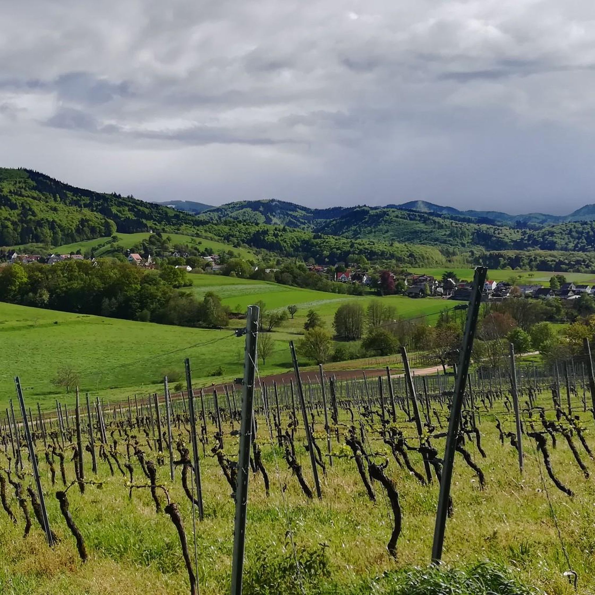
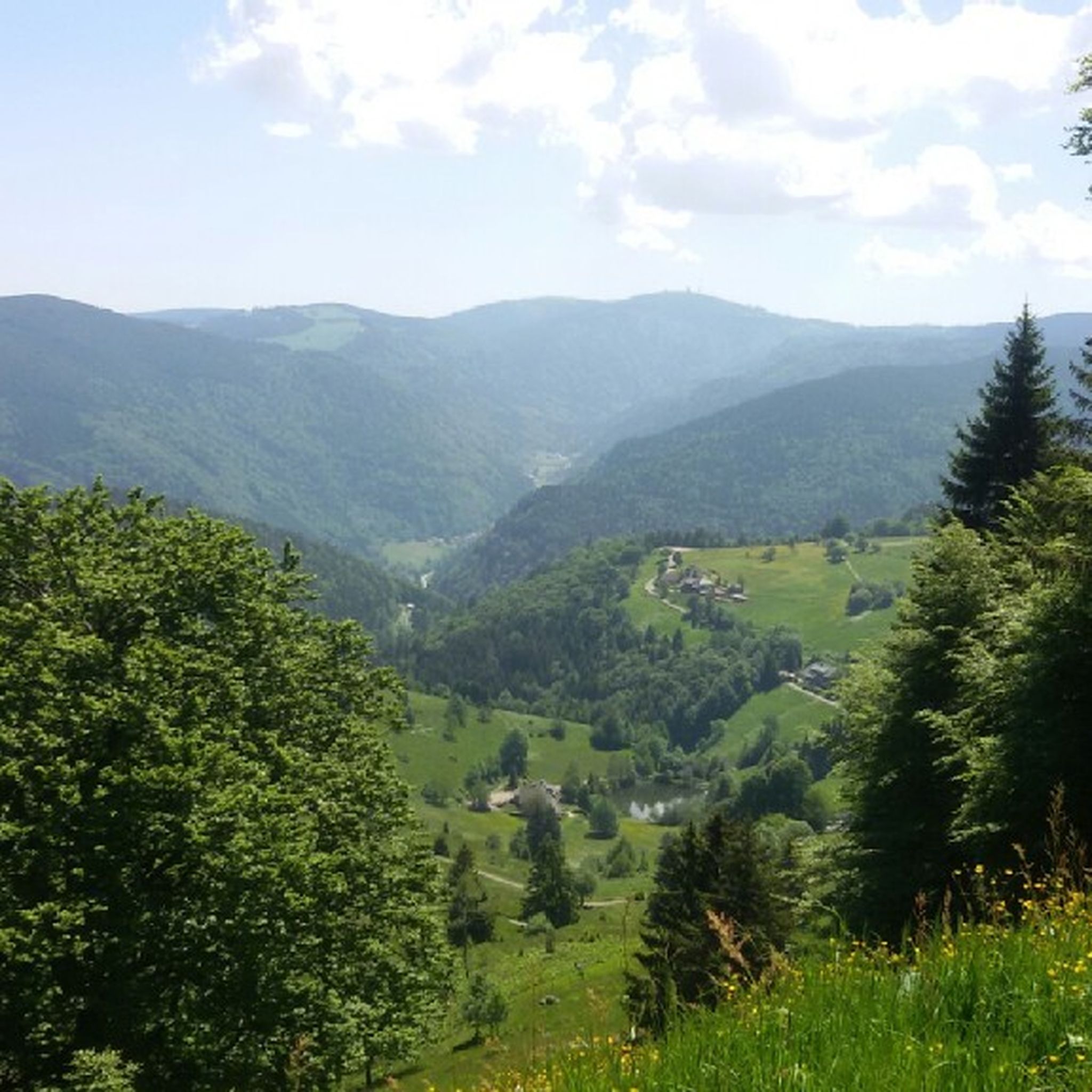
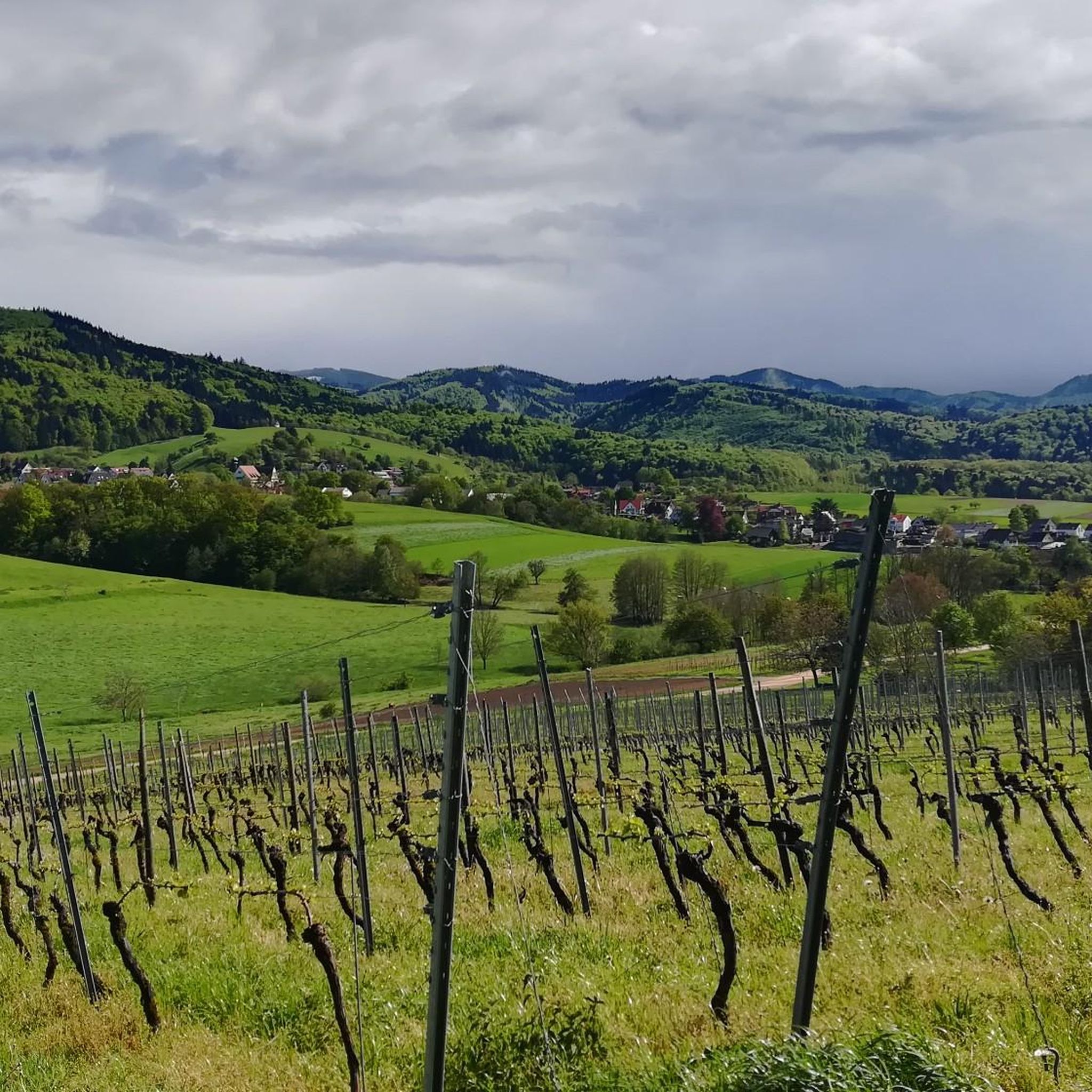
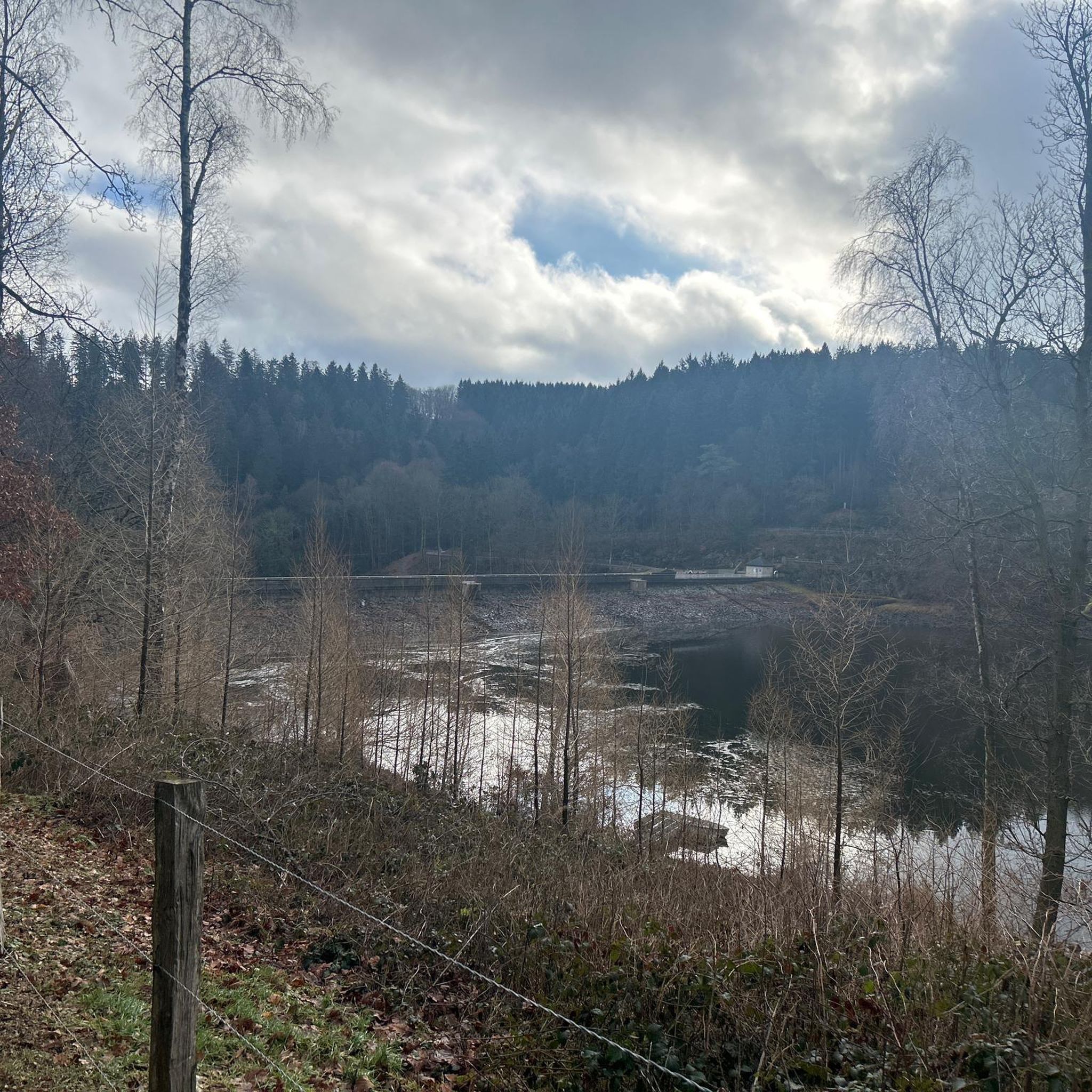
Tips from the Community

Fantastic viewpoint with a sweeping view of the waterfall cascading down the valley. A great spot to pause and take in the full scale of the Todtnau falls.
0
0

A very nice view
0
0
A very nice stamp
0
0
A very beautiful path
2
0

In the 1930s, a group of English youths got lost in a heavy snowfall here. The memorial stone is dedicated to the victims.
0
0

I think the Mining Museum is great that something like this still exists, a gigantic labyrinth of corridors
0
0
Frequently Asked Questions
What are the typical difficulty levels for mountaineering routes around Wittnau?
The mountaineering routes around Wittnau offer a range of difficulties. You'll find options from easy ascents, such as the 2.8 km loop to the Schauinsland Observation Tower, to more challenging routes. For instance, the St. Wilhelmer Hut loop is rated difficult, winding through challenging Black Forest terrain with significant elevation gain. Overall, there are 1 easy, 2 moderate, and 2 difficult routes listed in this guide.
What kind of elevation gain can I expect on mountaineering routes near Wittnau?
Mountaineering routes around Wittnau, situated in the Black Forest, feature varied terrain with numerous meters of altitude to conquer. For example, the difficult St. Wilhelmer Hut loop involves an ascent of approximately 784 meters, while the Belchen Summit loop has about 580 meters of elevation gain. Even moderate routes like the Todtnau Waterfall loop include around 446 meters of climbing.
Are there any circular mountaineering routes in the Wittnau area?
Yes, several mountaineering routes around Wittnau are designed as circular loops, allowing you to start and end at the same point. Examples include the popular Belchen Summit – View of the Alps from Belchen loop from Wieden, the challenging St. Wilhelmer Hut loop from Steinwasen-Park, and the scenic Todtnau Waterfall loop from Langenbach-Trubelsbach.
What natural features or landmarks can I see along the mountaineering routes?
The region around Wittnau is rich in natural beauty and notable landmarks. Many routes offer expansive vistas, with the Schauinsland Observation Tower providing views that can extend to the Vosges and Swiss Alps on clear days. You might also encounter the Rosskopf Tower, offering fantastic views of Freiburg, or the prominent Todtnau Waterfall. The landscape is characterized by dense forests, green meadows, and varied terrain.
When is the best time of year for mountaineering in Wittnau?
Wittnau's location in the Black Forest makes it suitable for mountaineering across multiple seasons. While specific recommendations depend on the route's difficulty and current weather, generally spring through autumn offer pleasant conditions. The region's varied terrain, from dense forests to steep slopes, provides a scenic backdrop for any outdoor excursion. For current conditions, it's always advisable to check local weather forecasts.
Are the mountaineering routes around Wittnau suitable for families?
While many mountaineering routes involve significant elevation and challenging terrain, there are options that might be suitable for families, especially those with some hiking experience. For instance, the View from Schauinsland – Schauinsland Observation Tower loop is an easier route at just under 3 km. Always consider the specific difficulty, distance, and elevation gain of a route when planning a family outing.
Can I bring my dog on the mountaineering routes in Wittnau?
The Black Forest region generally welcomes dogs on trails, but it's always recommended to keep them on a leash, especially in nature protection areas or near wildlife. While specific dog regulations for each route are not detailed here, the natural environment of dense forests and varied terrain is often enjoyed by dogs. Please ensure your dog is fit for the chosen route's difficulty and length.
How can I access the mountaineering routes, and is parking available?
Access to mountaineering routes around Wittnau often involves starting points near villages or specific landmarks. While detailed parking information for each route isn't provided, many trailheads in the Black Forest region typically offer parking facilities. For routes starting from places like Wieden or Steinwasen-Park, you can usually find designated parking. Public transport options may also be available to reach some starting points, though this varies by specific location.
What do other mountaineers enjoy most about the routes in Wittnau?
The mountaineering routes around Wittnau are highly rated by the komoot community, with an average score of 4.5 stars from over 5 reviews. Mountaineers often praise the diverse landscapes, the challenging terrain with significant elevation gains, and the rewarding panoramic views, especially towards the Alps from routes like the Belchen Summit loop. The opportunity to explore the Black Forest's natural beauty is a key highlight.
Are there any options for winter mountaineering around Wittnau?
Wittnau's proximity to the Black Forest means that winter mountaineering can be an option, though conditions will vary significantly. Higher elevations and steeper slopes may require specialized equipment like snowshoes or crampons, and avalanche risk should always be considered. Lower-lying trails might be accessible for winter hiking. Always check local weather and trail conditions before attempting winter mountaineering.
Are there any hidden gem mountaineering trails near Wittnau?
While the guide highlights popular routes, the broader Black Forest region offers countless trails. For those seeking less-trafficked paths, exploring routes that diverge from the main tourist hubs or focusing on areas slightly further from Wittnau can reveal quieter experiences. The varied terrain, from dense forests to steep slopes, ensures there are always new paths to discover beyond the well-known ones.
Where can I find places to eat or drink along the routes or in Wittnau?
Wittnau itself, nestled in the Breisgau-Hochschwarzwald region, offers amenities for visitors. While specific cafes or pubs directly on every mountaineering route are not detailed, you can typically find options in the village of Wittnau or in nearby towns. Some longer routes, like the St. Wilhelmer Hut loop, might pass by mountain huts or restaurants that offer refreshments during opening seasons.
How many mountaineering routes are covered in this guide for Wittnau?
This guide covers 5 distinct mountaineering routes around Wittnau, offering a selection of experiences from easy to difficult. These routes provide a good starting point for exploring the diverse landscapes of the Black Forest, with options for different ability levels and interests.
Most popular routes around Wittnau
Most popular attractions around Wittnau

Get inspired with the komoot mobile app


Explore more
Browse the best Mountain Hikes & Routes in other regions.
