The best mountain hikes in Pyrénées-Orientales
4.8
(38)
267
hikers
30
hikes
Mountaineering routes in Pyrénées-Orientales traverse the diverse and dramatic landscapes of the Pyrenees mountain range, offering high-altitude terrain and majestic peaks. The region features prominent summits like Pic Carlit and Pic du Canigou, alongside numerous pristine lakes and deep gorges. Characterized by granite cliffs, limestone crags, and extensive mountain forests, the area provides varied challenges for mountaineers. This southern French department presents a unique blend of Mediterranean climate influences and rugged alpine environments.
Best mountaineering routes in Pyrénées-Orientales
- The most…
Last updated: July 4, 2026
5.0
(2)
19
hikers
8.98km
04:17
870m
870m
Hard mountaineering route. Good fitness required. Sure-footedness, sturdy shoes and alpine experience required.
5.0
(2)
10
hikers
12.3km
04:29
720m
720m
Moderate mountaineering route. Good fitness required. Mostly accessible paths. Sure-footedness required.

Sign up for free
11
hikers
26.7km
08:55
1,270m
1,270m
Hard mountaineering route. Very good fitness required. Easily-accessible paths. Suitable for all skill levels.
5.0
(1)
9
hikers
11.5km
04:46
920m
920m
Hard mountaineering route. Very good fitness required. Easily-accessible paths. Suitable for all skill levels.
5.0
(2)
9
hikers
8.03km
02:54
260m
260m
Moderate mountaineering route. Good fitness required. Mostly accessible paths. Sure-footedness required.
5.0
(1)
6
hikers
19.2km
08:34
1,270m
1,270m
Hard mountaineering route. Very good fitness required. Sure-footedness, sturdy shoes and alpine experience required.
4.7
(3)
10
hikers
12.6km
04:34
370m
370m
Moderate mountaineering route. Good fitness required. Mostly accessible paths. Sure-footedness required.
7
hikers
17.1km
07:38
1,190m
1,190m
Hard mountaineering route. Very good fitness required. Sure-footedness, sturdy shoes and alpine experience required.
5.0
(1)
4
hikers
9.57km
04:56
760m
760m
Hard mountaineering route. Good fitness required. Sure-footedness, sturdy shoes and alpine experience required.
3.0
(1)
3
hikers
5.45km
01:34
140m
140m
Easy mountaineering route. Great for any fitness level. Easily-accessible paths. Suitable for all skill levels.
Get access to more routes and recommendations from other explorers.
Sign up for free
Already have an account?
Our route recommendations are based on thousands of hikes, rides, and runs completed by other people on komoot.
Start today with a free account
Your next adventure awaits.
Login or Signup
Popular around Pyrénées-Orientales

European Divide Trail — 7,600 km across the continent
GR 36 long-distance footpath – Cross France from the Channel to the Pyrenees

The Crossing of the Pyrenees via the GR 10 — Eastern Pyrenees
Tour du Canigou – Through the heart of the Mediterranean Pyrenees

Road to Lisbon – bikepacking the Alps, Pyrenees and Picos de Europa

On the road to the sun — bikepacking to southeast Spain

Haute Route Pyrénéenne – Pyrenees Crossing
Coast to coast across the Pyrenees on your road bike
The most beautiful bike rides in Occitanie
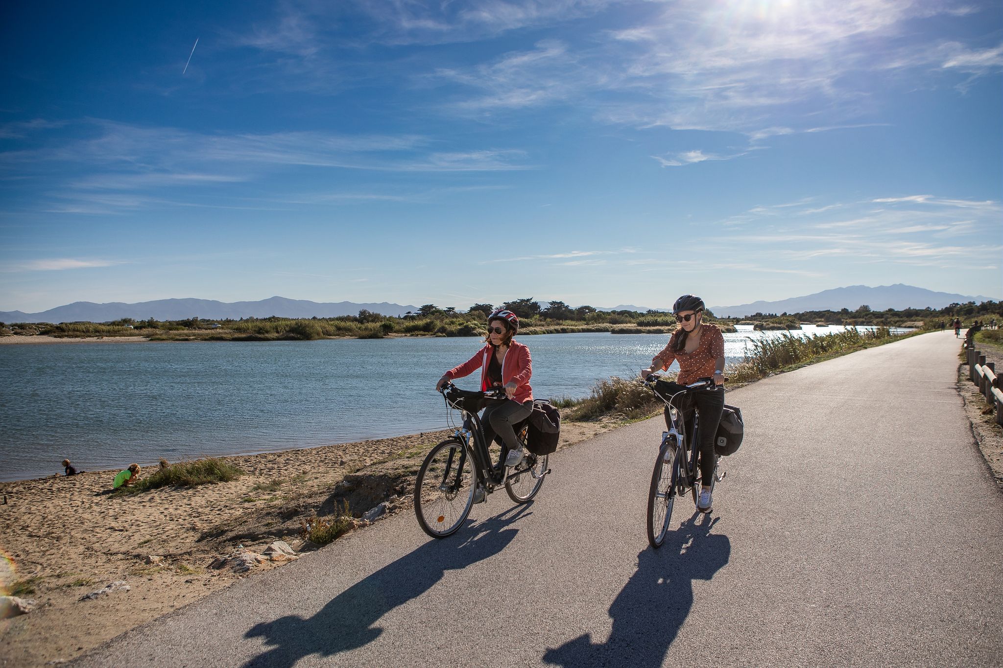
Méditerranée in Occitanie - Ten bike rides in the South of France
Other adventures in Pyrénées-Orientales


Tips from the Community

This super panoramic trail overlooks the El Galba watercourse, and offers all along a superb panorama of the Galbe valley. You are thus accompanied by fir trees, large green meadows and the mineral, snow-capped peaks in the background.
0
0
The L'abri de la Jasse is an open hut that allows you to stop for the night, but also to take a break sheltered from the sun or rain. It is set in a magnificent, peaceful natural setting, in the middle of a clearing dotted with pine trees.
0
0

At the top but at the end the loop back on the left side at the level of the waterfall is not accessible in late spring because there is still too much snow, you will have to go through the other side.
0
0
A long climb on a wide path, unfortunately after a few hundred meters, the descent was interrupted, the indicated path being closed by a chain with the words "private path".
0
0

You can eat, drink, and refill water there. A beautiful bivouac environment.
0
0

A superb lake reflecting the neighboring peaks. The morning light amplifies this mirror effect.
0
0
Very friendly refuge. A warm welcome, good food, comfortable and clean rooms, and reasonable rates. Perfect for recharging your batteries during a long hike in the magnificent Canigou massif.
0
0
Frequently Asked Questions
How many mountaineering routes are available in Pyrénées-Orientales?
Pyrénées-Orientales offers a wide selection of mountaineering routes, with over 35 tours available for exploration. These routes traverse the diverse and dramatic landscapes of the Pyrenees mountain range, providing varied challenges for mountaineers.
What are the difficulty levels of mountaineering routes in Pyrénées-Orientales?
The routes in Pyrénées-Orientales cater to various skill levels. You'll find 3 easy routes, 14 moderate routes, and 18 difficult routes. This range ensures options for both those seeking a gentle ascent and experienced mountaineers looking for challenging, high-elevation adventures.
Are there any circular mountaineering routes in the region?
Yes, many routes in Pyrénées-Orientales are circular, allowing you to start and end at the same point. For example, the challenging Cambre d'Aze Summit loop from Eyne offers expansive mountain scenery, while the Tour de la Massane loop from Argelès-sur-Mer provides a moderate option.
Which routes offer the best viewpoints or scenic panoramas?
Many routes in Pyrénées-Orientales are renowned for their stunning views. The Puigmal loop from Refuge Pastoral des Planes leads to Puigmal, the second highest peak in the Eastern Pyrenees, offering expansive mountain scenery. Another excellent choice is the Les Bones Hores Bar & Restaurant – Peak Carlit loop from Lac des Bouillouses, which provides views of surrounding lakes as you ascend towards Peak Carlit.
What kind of natural features can I expect to see on these routes?
Mountaineering in Pyrénées-Orientales will immerse you in a landscape of majestic mountain peaks, rocky ridges, and pristine lakes. You'll encounter granite cliffs, limestone crags, and extensive mountain forests. Notable features include the iconic Pic Carlit and Pic du Canigou, as well as numerous high-altitude lakes like Lake Bouillouses.
What is the best time of year for mountaineering in Pyrénées-Orientales?
The ideal time for mountaineering in Pyrénées-Orientales is generally from late spring to early autumn. During these months, the weather is more stable, and trails are typically free of snow at lower to mid-altitudes. However, higher peaks like Pic Carlit may retain snow later into the season, requiring appropriate gear and experience.
Are there any specific attractions or points of interest near the mountaineering trails?
Yes, the region is rich in natural attractions. Many routes are close to beautiful lakes such as Lake Bouillouses and Lake Matemale. You might also encounter significant mountain passes like Col de la Perche, offering additional scenic stops.
What do other mountaineers enjoy the most about mountaineering in Pyrénées-Orientales?
The area is highly rated by the komoot community, with an average score of 4.8 stars from over 50 reviews. Reviewers often praise the diverse terrain, from granite cliffs to pristine lakes, and the challenging yet rewarding ascents to majestic peaks like Pic Carlit and Puigmal.
Is public transport available to access mountaineering trailheads?
While some trailheads might be accessible by regional bus services, especially those closer to towns, many high-mountain starting points require private vehicle access. It's advisable to research specific routes and local transport options in advance, as public transport can be limited in remote mountain areas.
Where can I find parking for mountaineering routes?
Parking availability varies by trailhead. Popular starting points like Lac des Bouillouses, which is a common access point for routes such as the Lac de la Coumasse – View of the lakes loop, often have designated parking areas, though they can fill up quickly during peak season. For more remote routes, roadside parking might be an option, but always ensure you are parking legally and safely.
Are there any less crowded mountaineering routes in Pyrénées-Orientales?
While popular peaks like Pic Carlit and Pic du Canigou can attract many visitors, exploring routes slightly off the main trails or visiting during off-peak times can offer a more solitary experience. Consider routes that venture into less frequented areas of the Catalan Pyrenees Regional Natural Park for a quieter adventure.
Are there multi-day mountaineering routes in Pyrénées-Orientales?
Yes, Pyrénées-Orientales is part of the larger Pyrenees range, which is home to extensive long-distance routes like the GR 10 and the Haute Route Pyrénéenne. While specific multi-day tours aren't detailed in this guide, the region's vast network of trails and refuges makes it suitable for planning multi-day mountaineering expeditions, such as the Tour du Cerdagne Trail.
Are there any routes that pass by lakes?
Absolutely. The region is dotted with numerous lakes, and many mountaineering routes incorporate them into their paths. The Serra da Mauri (2,412 m) – Lakes of Camporells loop from Formiguères is a challenging route that specifically highlights a series of lakes. Additionally, routes around Lake Bouillouses, such as the Les Bones Hores Bar & Restaurant – Peak Carlit loop from Pla des Avellans, offer stunning lakeside views and access.
Most popular routes in Pyrénées-Orientales
Most popular attractions in Pyrénées-Orientales

Get inspired with the komoot mobile app


Explore more
Browse the best Mountain Hikes & Routes in other regions.
