The best road cycling routes around Diessenhofen
4.5
(947)
16,762
riders
15
rides
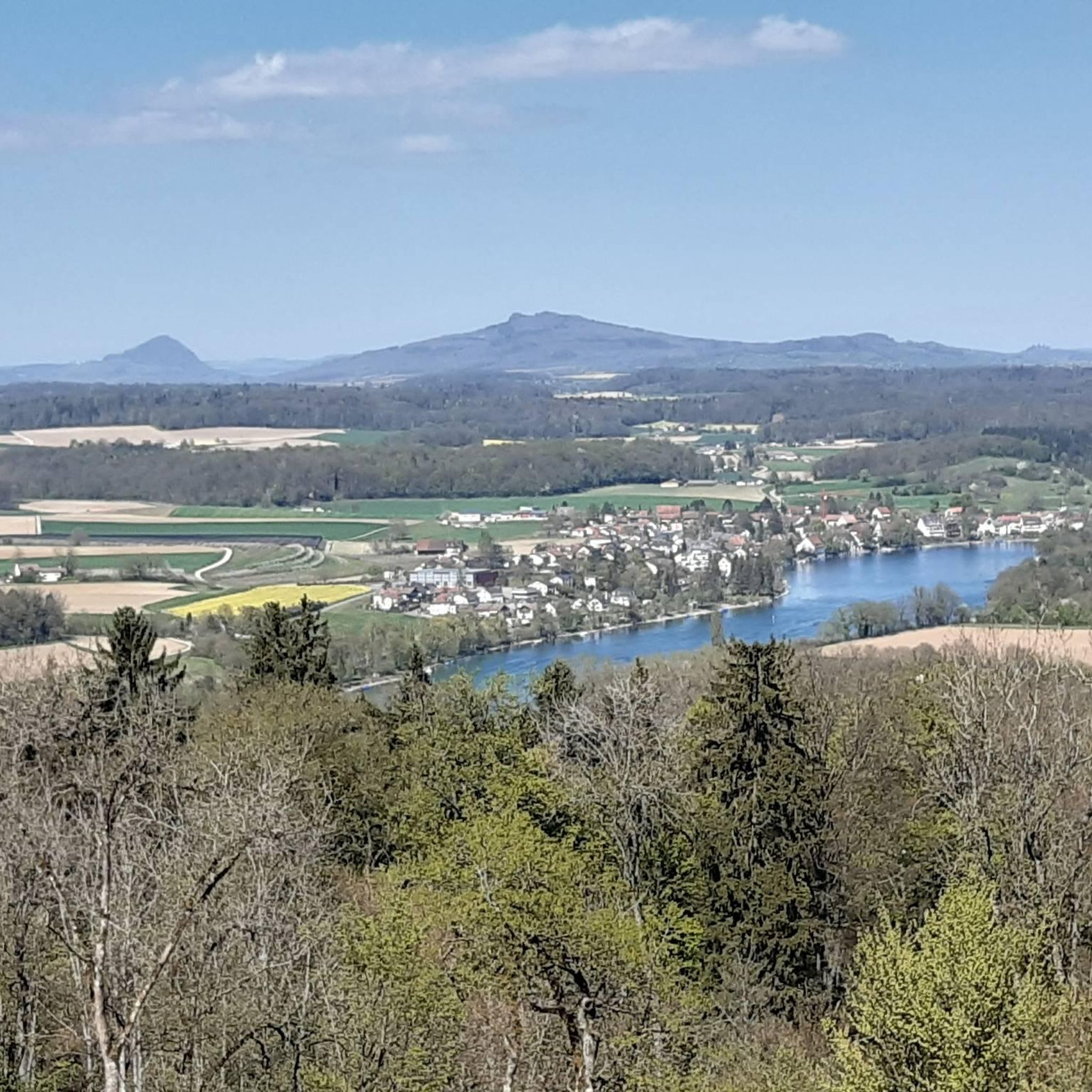
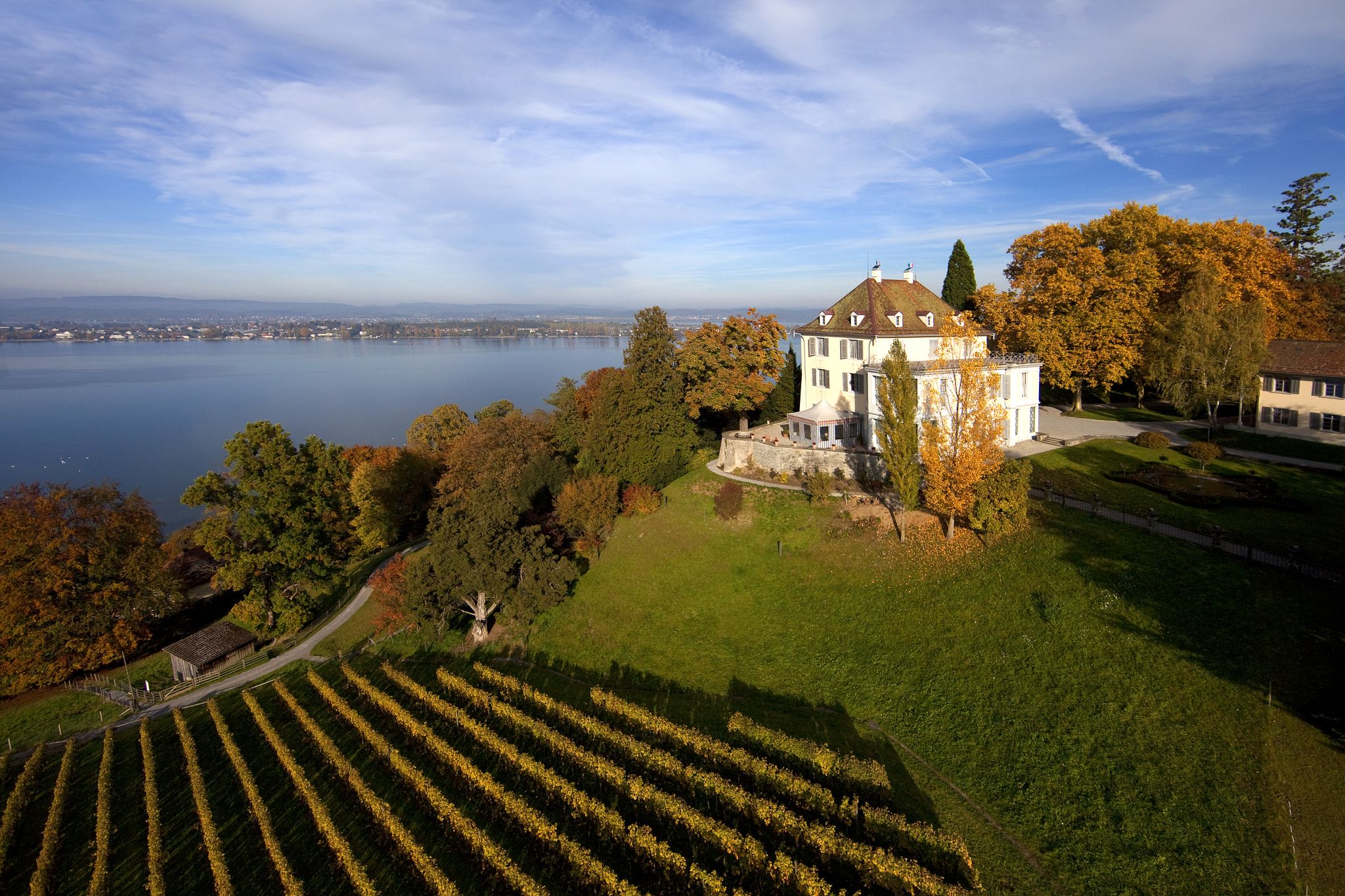
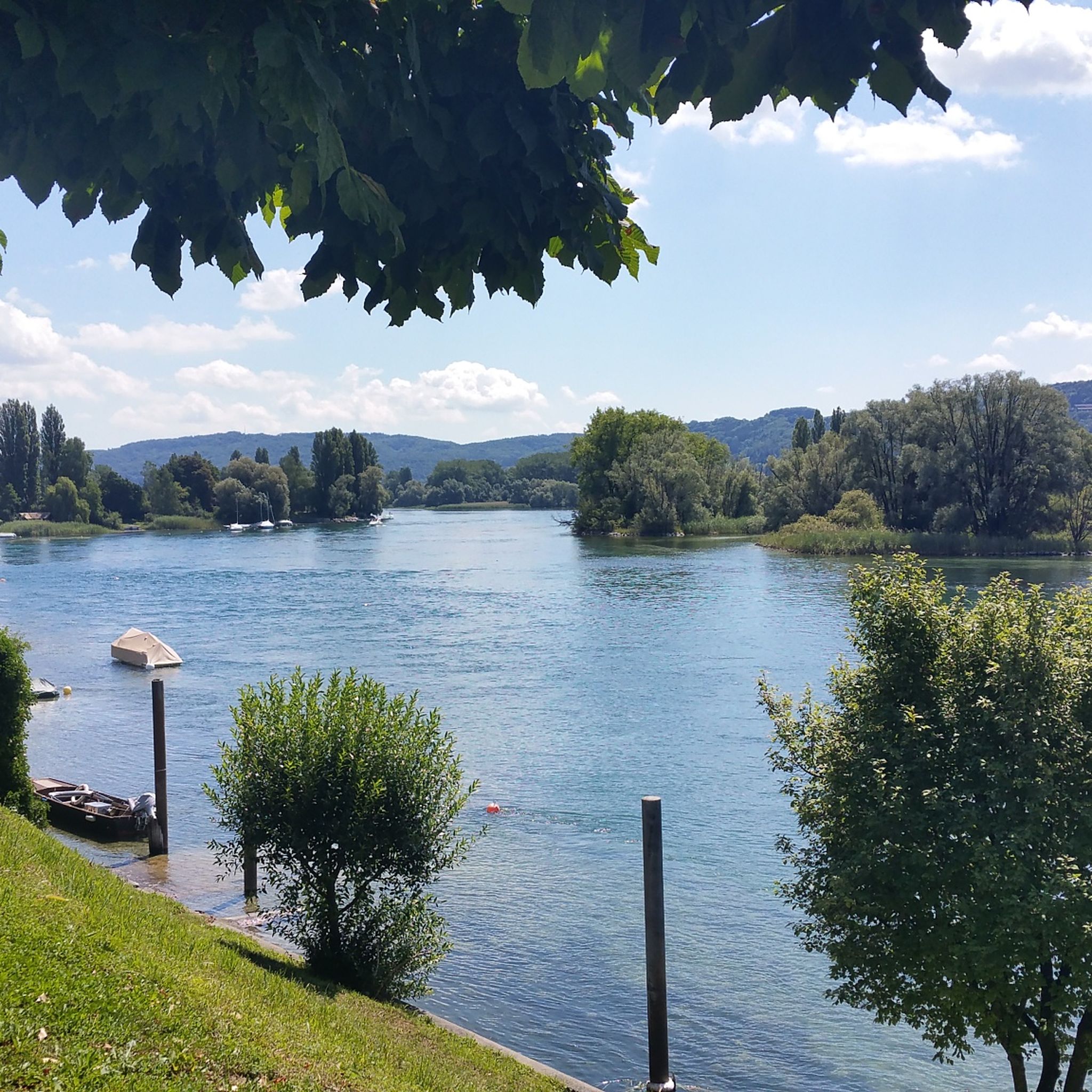
Road cycling routes around Diessenhofen are situated along the Rhine River, which forms a natural border with Germany. The terrain features green hills, expansive vineyards, and tranquil forests and meadows, providing varied landscapes for cyclists. Routes often follow the riverbanks, offering mostly paved surfaces suitable for road bikes. The region's elevation changes are generally moderate, with some routes including more significant climbs.
Best road cycling routes around Diessenhofen
- The most popular road cycling route is Seal Tower, Diessenhofen – View of Diessenhofen loop from Diessenhofen, a 16.9 miles (27.3 km) moderate trail that takes 1 hour 13 minutes to complete, offering views of the town and surrounding area.
- Another top favourite among local road cyclists is Town Hall of Stein am Rhein – Seal Tower, Diessenhofen loop from Diessenhofen, an easy 15.4 miles (24.7 km) path connecting Diessenhofen with the historic town of Stein am Rhein along the scenic Rhine.
- Local road cyclists also love the Old Town of Stein am Rhein – Stein am Rhein Old Town loop from Diessenhofen, a 12.8 miles (20.6 km) trail leading through the historic Old Town of Stein am Rhein, often completed in about 54 minutes.
- Road cycling around Diessenhofen is defined by the Rhine River landscape, green hills, and vineyards. The network offers options for different ability levels, from easy riverside paths to more challenging routes with greater elevation gain.
- The routes in Diessenhofen are highly rated by the komoot community with an average score of 4.6 stars from over 400 reviews. More than 8,000 road cyclists have used komoot to explore Diessenhofen's varied terrain.
Last updated: July 8, 2026
4.7
(6)
141
riders
28.1km
01:16
180m
180m
Moderate road ride. Great for any fitness level. Some segments of this route may be unpaved and difficult to ride.
5.0
(4)
53
riders
Easy road ride. Great for any fitness level. Mostly well-paved surfaces and easy to ride.

Sign up for free
4.0
(1)
52
riders
Easy road ride. Great for any fitness level. Mostly well-paved surfaces and easy to ride.
30
riders
Easy road ride. Great for any fitness level. Mostly well-paved surfaces and easy to ride.
10
riders
Easy road ride. Great for any fitness level. Mostly well-paved surfaces and easy to ride.
13
riders
76.7km
03:25
660m
660m
Moderate road ride. Good fitness required. Mostly well-paved surfaces and easy to ride.
8
riders
54.2km
02:35
730m
730m
Moderate road ride. Good fitness required. Mostly well-paved surfaces and easy to ride.
6
riders
35.4km
01:40
350m
350m
Moderate road ride. Good fitness required. Mostly well-paved surfaces and easy to ride.
5
riders
133km
06:20
1,710m
1,710m
Hard road ride. Very good fitness required. Some segments of this route may be unpaved and difficult to ride.
3
riders
56.8km
02:34
590m
590m
Moderate road ride. Good fitness required. Mostly well-paved surfaces and easy to ride.
Get access to more routes and recommendations from other explorers.
Sign up for free
Already have an account?
Our route recommendations are based on thousands of hikes, rides, and runs completed by other people on komoot.
Start today with a free account
Your next adventure awaits.
Login or Signup
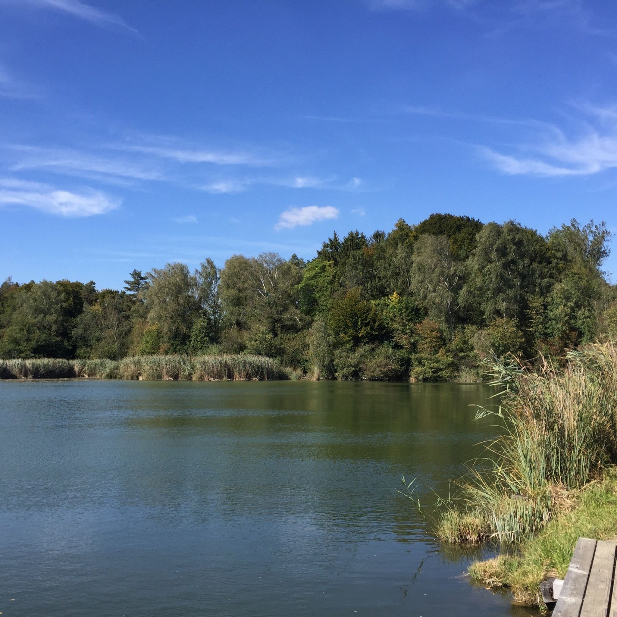
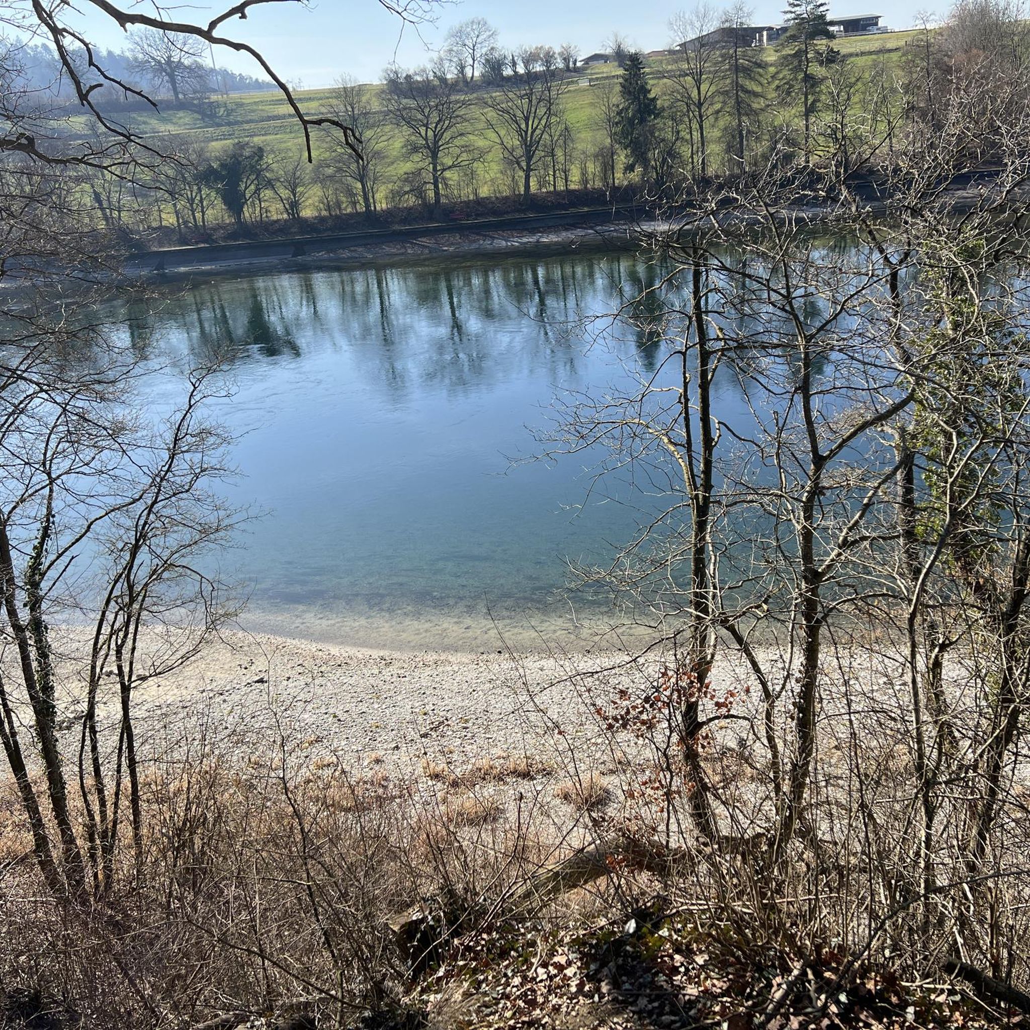

Other adventures around Diessenhofen

Tips from the Community

A clear viewpoint over the Schluchsee from the road. The calm lake backed by dense forest is characteristic of this part of the Black Forest — a moment to take in the scenery before the final descent.
0
0

In addition to the wonderfully preserved half-timbered houses, many fountains are also to be admired. These were formerly used primarily as watering troughs for livestock, but partly also as washing places.
0
0

Pretty little town with a beautiful old bridge.
0
0
A very beautiful cycling/hiking route along the Rhine, the scenery is truly top-notch.
0
0

Here you can really pedal
0
0

It's beautiful to drive here. We had little traffic; it's a beautiful valley.
0
0


Frequently Asked Questions
How many road cycling routes are available around Diessenhofen?
There are over 15 road cycling routes around Diessenhofen, catering to various skill levels. These routes offer diverse landscapes, from riverside paths to vineyard-lined roads.
What is the general terrain and difficulty level for road cycling in Diessenhofen?
The terrain around Diessenhofen is varied, featuring green hills, expansive vineyards, and tranquil forests, with routes often following the Rhine River. Most surfaces are paved and suitable for road bikes. You'll find a mix of easy, moderate, and some challenging routes with greater elevation gain. For instance, the Town Hall of Stein am Rhein – Seal Tower, Diessenhofen loop from Diessenhofen is an easy option, while the View of the Rhine Falls – Wangental loop from Schlatt offers a more difficult challenge.
Are there easy or beginner-friendly road cycling routes in the Diessenhofen area?
Yes, Diessenhofen offers several easy road cycling routes perfect for beginners or those seeking a relaxed ride. For example, the Town Hall of Stein am Rhein – Seal Tower, Diessenhofen loop from Diessenhofen is an easy 15.4-mile (24.7 km) path connecting Diessenhofen with Stein am Rhein along the scenic Rhine. Another easy option is the Old Town of Stein am Rhein – Stein am Rhein Old Town loop from Diessenhofen, which is 12.8 miles (20.6 km) long.
What historical landmarks can I see while road cycling near Diessenhofen?
The region is rich in history. You can cycle past the iconic Diessenhofen–Gailingen Wooden Bridge over the Rhine, explore the medieval Old Town of Diessenhofen, or spot the striking Seal Tower, Diessenhofen. The former St. Katharinental Monastery, with its impressive Baroque church, is also along the Rhine and can be seen on routes like the View of Hohenklingen Castle – Siegelturm, Diessenhofen loop from St. Katharinental.
Are there natural features to explore on road cycling routes around Diessenhofen?
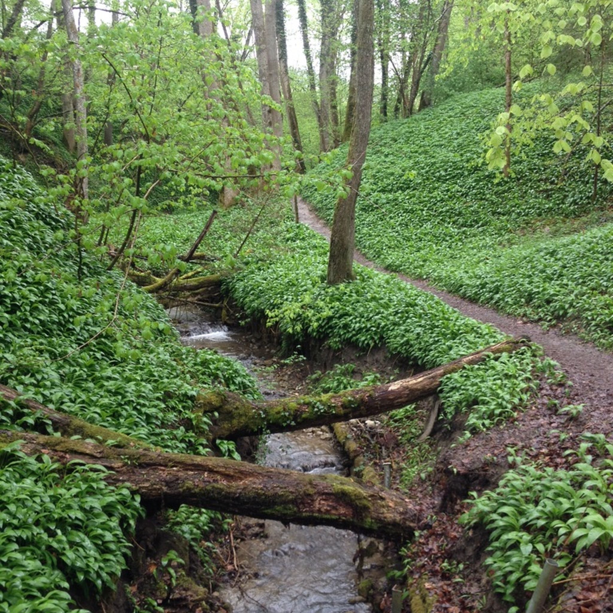
Absolutely. Road cycling routes often wind through the beautiful Rhine River landscape, green hills, expansive vineyards, and tranquil forests and meadows. You might also encounter the Schaarenwald nature reserve, an important amphibian spawning area, or the charming Geisslibach river. Some routes offer views of lakes such as Kundelfingerhof Lakes.
What do other road cyclists appreciate most about the routes in Diessenhofen?
The routes in Diessenhofen are highly rated by the komoot community, with an average score of 4.6 stars from over 400 reviews. Road cyclists often praise the stunning river scenery, the variety of terrain from flat riverside paths to rolling hills, and the well-maintained paved surfaces that make for an enjoyable ride. The combination of natural beauty and historical towns like Stein am Rhein is also frequently highlighted.
Are there any long-distance or challenging road cycling routes for experienced riders?
Yes, for experienced riders seeking a challenge, Diessenhofen offers longer routes with significant elevation gain. The View of Diessenhofen – View of Hegau loop from Schlatt is a moderate 47.7-mile (76.7 km) route, while the View of the Rhine Falls – Wangental loop from Schlatt is a difficult 82.5-mile (132.8 km) route with over 1700 meters of elevation gain, offering a substantial workout.
Can I find circular road cycling routes starting and ending in Diessenhofen?
Many road cycling routes around Diessenhofen are designed as loops, allowing you to start and finish in the same location. Examples include the popular Seal Tower, Diessenhofen – View of Diessenhofen loop from Diessenhofen and the Seal Tower, Diessenhofen – Mägdeberg Castle Ruins loop from Diessenhofen, providing convenient options for exploring the region.
What is the best time of year for road cycling in Diessenhofen?
The best time for road cycling in Diessenhofen is generally from spring through autumn, when the weather is mild and the landscapes are vibrant. The region's vineyards are particularly beautiful in late summer and early autumn. While some routes may be accessible in winter, conditions can be less predictable, and some paths might be less maintained.
Are there road cycling routes that connect Diessenhofen to other scenic towns?
Yes, several routes connect Diessenhofen to other picturesque towns along the Rhine. You can cycle to Schaffhausen or Stein am Rhein, enjoying the beautiful river landscape. The Town Hall of Stein am Rhein – Seal Tower, Diessenhofen loop from Diessenhofen is a great example, linking Diessenhofen with the historic town of Stein am Rhein.
Are there family-friendly road cycling options around Diessenhofen?
While road cycling routes are generally geared towards bikes on paved roads, some of the easier, flatter loops along the Rhine can be suitable for families with older children who are comfortable with road cycling. Routes like the Old Town of Stein am Rhein – Stein am Rhein Old Town loop from Diessenhofen offer relatively gentle terrain and scenic views.
Can I access road cycling routes in Diessenhofen using public transport?
Diessenhofen is well-connected by public transport, making it feasible to reach the starting points of many road cycling routes without a car. The town has a train station, and local buses serve the surrounding areas. You can often start your ride directly from the town center or a nearby village accessible by public transport.
Are there viewpoints or scenic spots along the road cycling routes?
Many road cycling routes in Diessenhofen offer stunning viewpoints and scenic spots. You'll frequently encounter panoramic views of the Rhine River, the historic wooden bridge, and the surrounding vineyards and hills. The View of Diessenhofen and the wooden bridge over the Rhine is a notable highlight that many routes pass by or offer views of.
Most popular routes around Diessenhofen
Most popular attractions around Diessenhofen

Get inspired with the komoot mobile app


Didn’t find what you were looking for?
Check out more Road cycling routes throughout Diessenhofen below and find the perfect route in your destination.
Explore more
Browse the best Road cycling routes in other regions.
