The best running trails in Vallensbæk
4.2
(119)
5,006
runners
29
runs
Jogging in Vallensbæk offers diverse natural landscapes and well-maintained facilities within the Greater Copenhagen Area. The municipality features significant green spaces, coastal stretches, and a network of trails. Runners can explore areas around Vallensbæk Sø and Tueholm Sø, or follow routes along the Køge Bugt Strandpark. The terrain includes flat coastal paths, lakeside trails, and varied green areas.
Best jogging routes in Vallensbæk
- The most popular jogging route is Strandcafèen – Marina Pathway in Hvidovre loop from Vallensbæk, a…
Last updated: October 4, 2026
5.0
(2)
136
runners
8.60km
00:53
10m
10m
Moderate run. Good fitness required. Mostly paved surfaces. Suitable for all skill levels.
5.0
(1)
38
runners
7.32km
00:45
10m
10m
Moderate run. Good fitness required. Mostly paved surfaces. Suitable for all skill levels.

5.0
(2)
21
runners
8.41km
00:55
10m
10m
Moderate run. Good fitness required. Mostly paved surfaces. Suitable for all skill levels.
2.0
(1)
16
runners
5.72km
00:36
10m
10m
Moderate run. Good fitness required. Mostly paved surfaces. Suitable for all skill levels.
27
runners
Moderate run. Good fitness required. Mostly paved surfaces. Suitable for all skill levels.
Get access to more routes and recommendations from other explorers.
Already have an account?
Our route recommendations are based on thousands of hikes, rides, and runs completed by other people on komoot.
Start today with a free account
Your next adventure awaits.

Tips from the Community


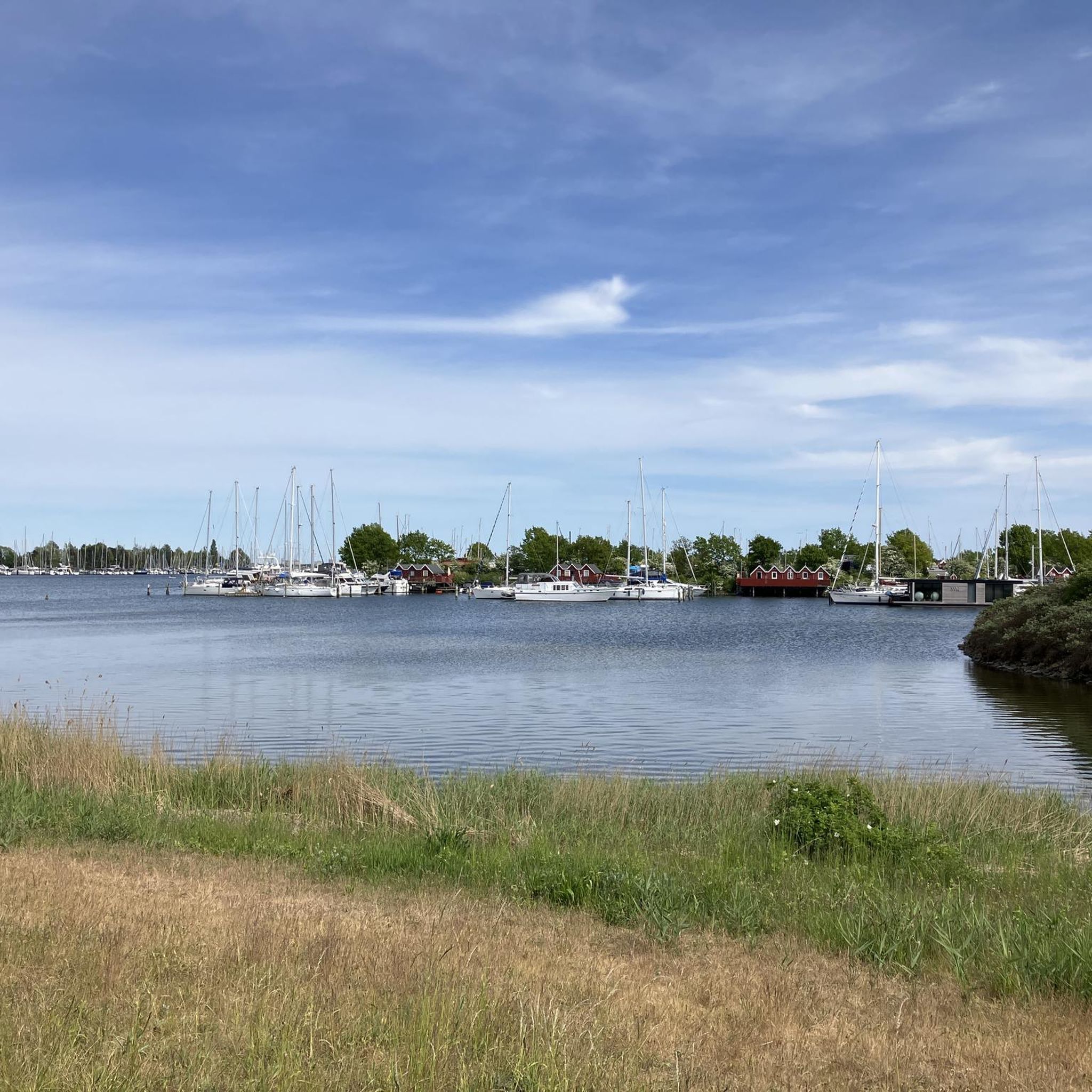
very nice path here, you get out of the big city regions and come closer to the water for the first time. Highly recommended. Parts are NOT paved, but are also easy to ride with a road bike.
0
0

Troll no. 13 is hiding behind the bridge
3
0

Here starts a long and lovely gravel route. There is a lot of gravel but also some asphalt. A beautiful varied tour all the way to Hundige Strand and back by almost the same route.
0
0
The troll can be hard to see from the bridge, but his hand is holding the railing, so he is easy to see.
0
0
Fantastic swimming spot and beach. Nearby are toilets and a large barbecue area.
0
0
If it has rained, the bridge can be very slippery - especially by bike.
0
1

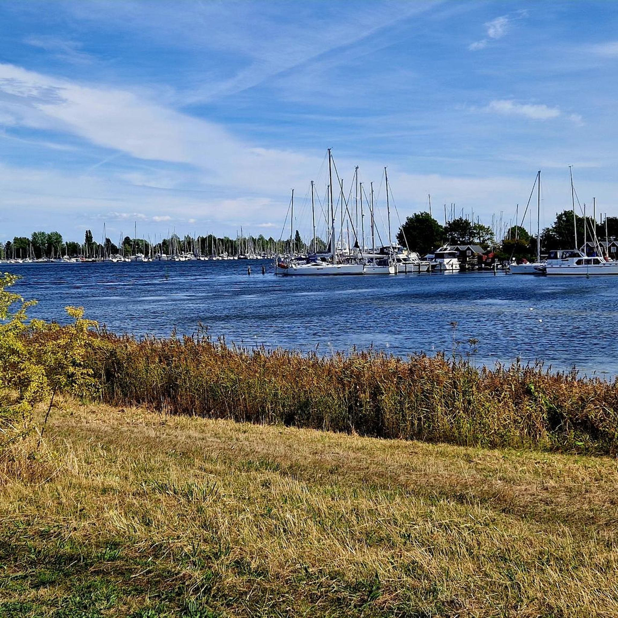
Lake Tueholm covers an area of approximately 15 hectares, and its shores serve as a popular local recreation area. Along the path known as Fuglestien, you walk directly along the water's edge, gazing out at the numerous waterfowl and the reed-lined shores.
0
0
Frequently Asked Questions
How many running routes are available in Vallensbæk?
The komoot community has mapped nearly 30 running routes in Vallensbæk, offering a wide range of options for different preferences and fitness levels. These include easy loops and longer, moderate runs through diverse landscapes.
What do other runners enjoy most about jogging in Vallensbæk?
The running routes in Vallensbæk are highly rated by the komoot community, with an average score of 4.3 stars from over 100 reviews. Runners often praise the diverse natural landscapes, well-maintained facilities, and the variety of coastal paths, lake trails, and green spaces.
Are there family-friendly jogging routes in Vallensbæk?
Yes, Vallensbæk offers several routes suitable for families. The Running loop from Vallensbæk is a moderate 8.3 km trail leading through green spaces and near lakes, which can be a great option for a family outing. The Vallensbæk Kløverstier also offer marked trails of varying lengths and themes, some of which are accessible for all skill levels.
Are dogs allowed on the running trails in Vallensbæk?
Vallensbæk's extensive green spaces and trails, including areas like Køge Bugt Strandpark and Vallensbæk Mose, are generally dog-friendly. However, it's always recommended to keep dogs on a leash, especially in nature protection areas, and to check local signage for specific regulations on individual trails or parks.
Are there any circular running routes in Vallensbæk?
Yes, many of the running routes in Vallensbæk are designed as loops, providing convenient circular experiences. An example is the Kiosk at Tueholmsøen – Store Vejleå Lake loop from Vallensbæk Municipality, which is a moderate 9.2 km route around the lakes.
What kind of natural features can I expect to see while running in Vallensbæk?
Vallensbæk boasts a diverse range of natural features. You can expect to run along the coast at Køge Bugt Strandpark, explore the tranquil environments around Vallensbæk Sø and Tueholm Sø, and pass through Vallensbæk Mose (bog). The area is rich in plant and animal life, including nearly 200 bird species, making for a scenic run.
Are there any specific landmarks or points of interest along the running routes?
Yes, several routes pass by notable landmarks. For instance, trails around Vallensbæk Lake and Tueholm Lake offer views of these water bodies. The Køge Bugt Strandpark itself is a significant feature. You might also encounter the Høghsbjerget, a 30-meter-high landmark near Tueholm Lake. For more general attractions in the area, you can explore highlights like Damhus Lake or Ishøj Beach.
Where can I find parking near the jogging routes in Vallensbæk?
Many of Vallensbæk's popular jogging areas, such as Køge Bugt Strandpark and the areas around Vallensbæk Sø and Tueholm Sø, offer accessible parking facilities. Specific parking information can often be found on local municipality websites or by checking the starting points of individual routes on komoot.
Can I reach the running trails in Vallensbæk using public transport?
Yes, Vallensbæk is part of the Greater Copenhagen Area and is well-served by public transport. Many trailheads, especially those near the coast or the lakes, are accessible via local bus routes or S-train stations, making it convenient to reach the running areas without a car.
Are there any long-distance running trails in Vallensbæk?
While many routes are moderate in length, Vallensbæk is part of the extensive Vestegnsruten, a scenic route winding through seven municipalities. This route offers opportunities for longer runs, including marathon training, connecting various natural attractions within the region.
Are there cafes or places to stop for refreshments along the running routes?
Yes, particularly along the Køge Bugt Strandpark, you'll find amenities such as cafes. The Strandcafèen is a notable spot mentioned in route names like Strandcafèen – Marina Pathway in Hvidovre loop from Vallensbæk, offering convenient stops for refreshments during or after your run.
What is the best time of year to go jogging in Vallensbæk?
Vallensbæk offers pleasant jogging conditions throughout much of the year. Spring and autumn provide mild temperatures and beautiful scenery. Summer is also popular, especially along the coastal paths, with amenities like beach showers available. Even in winter, the well-maintained trails around the lakes and in green spaces can be enjoyed, though appropriate gear is recommended.
Most popular attractions in Vallensbæk

Get inspired with the komoot mobile app


Explore more
Browse the best Running Trails & Routes in other regions.
