The best running trails around South Tawton
4.3
(46)
2,579
runners
204
runs
Jogging routes around South Tawton provide access to diverse landscapes on the northern fringes of Dartmoor National Park. The region is characterized by expansive open moorland, rolling hills, and distinctive granite tors, offering varied terrain for runners. Trails also follow scenic river valleys and wind through areas of woodland and wetland meadows. This varied topography ensures a range of running experiences, from gentle paths to challenging ascents.
Best jogging routes around South Tawton
- The most popular jogging route is Winter…
Last updated: October 17, 2026
16
runners
11.0km
01:15
230m
230m
Moderate run. Good fitness required. Mostly paved surfaces. Suitable for all skill levels.
4.0
(2)
18
runners
37.2km
04:38
940m
930m
Hard run. Very good fitness required. Mostly accessible paths. Some sure footedness required.

13
runners
18.3km
02:10
450m
450m
Hard run. Very good fitness required. Mostly accessible paths. Some sure footedness required.
10
runners
Moderate run. Good fitness required. Mostly paved surfaces. Suitable for all skill levels.
9
runners
8.82km
00:56
100m
100m
Moderate run. Good fitness required. Mostly paved surfaces. Suitable for all skill levels.
Get access to more routes and recommendations from other explorers.
Already have an account?
Our route recommendations are based on thousands of hikes, rides, and runs completed by other people on komoot.
Start today with a free account
Your next adventure awaits.
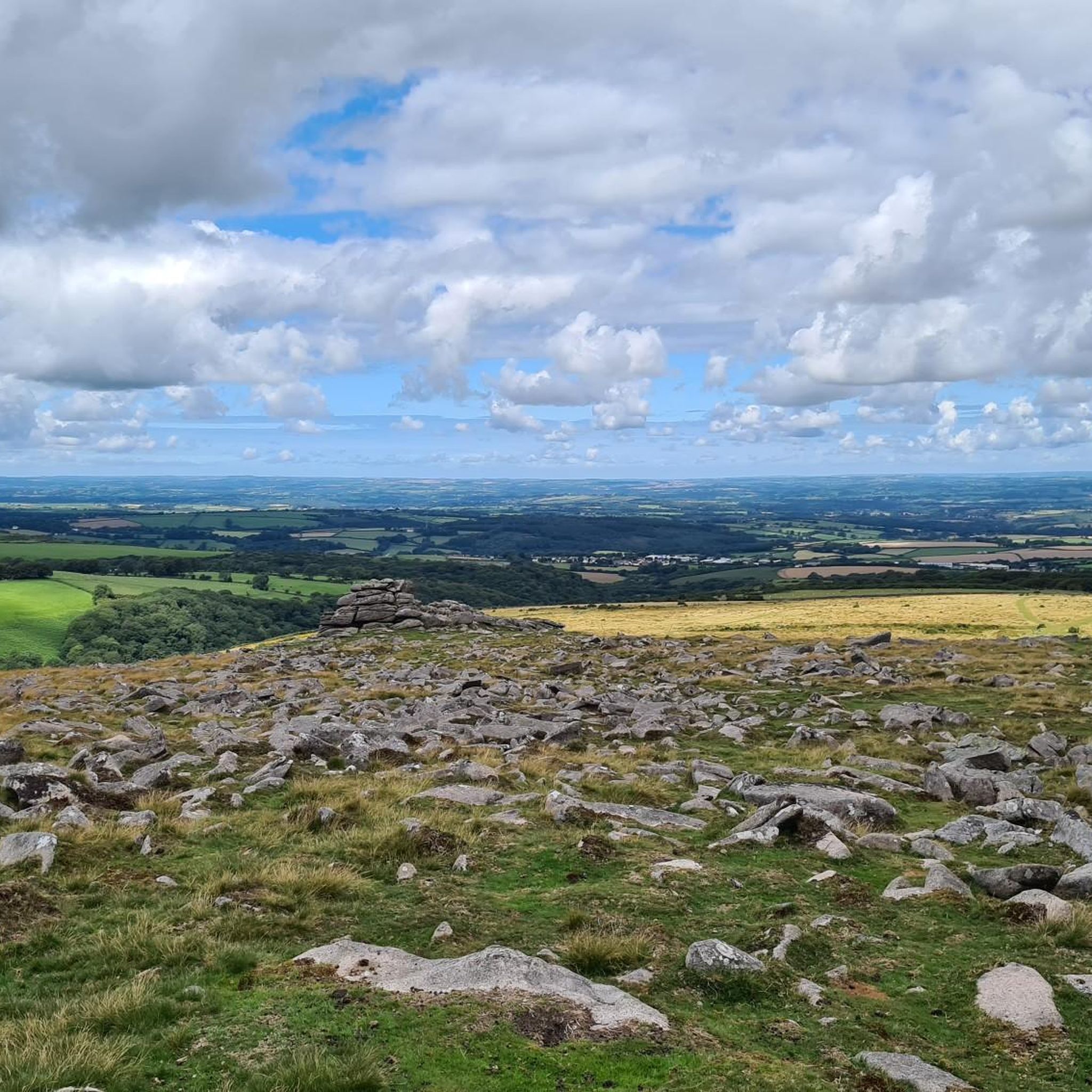
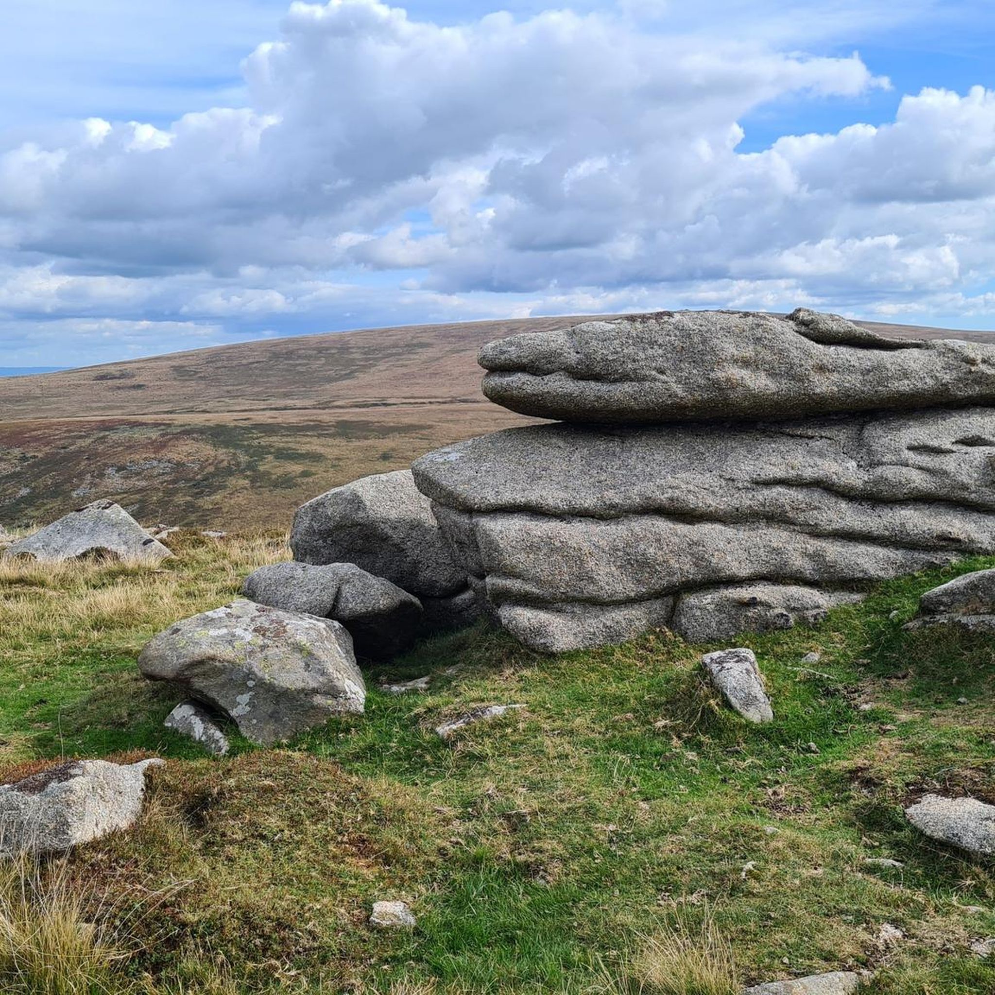
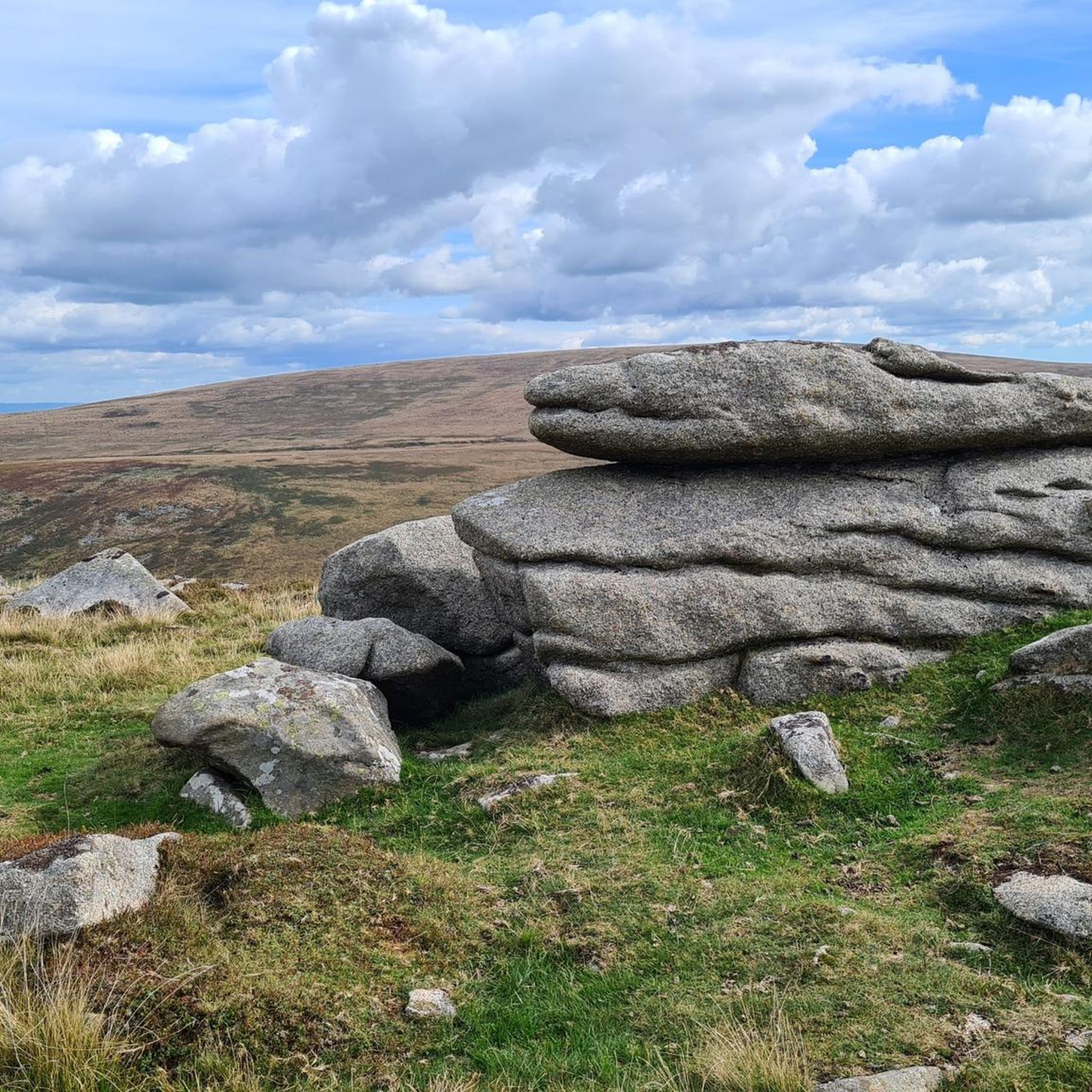
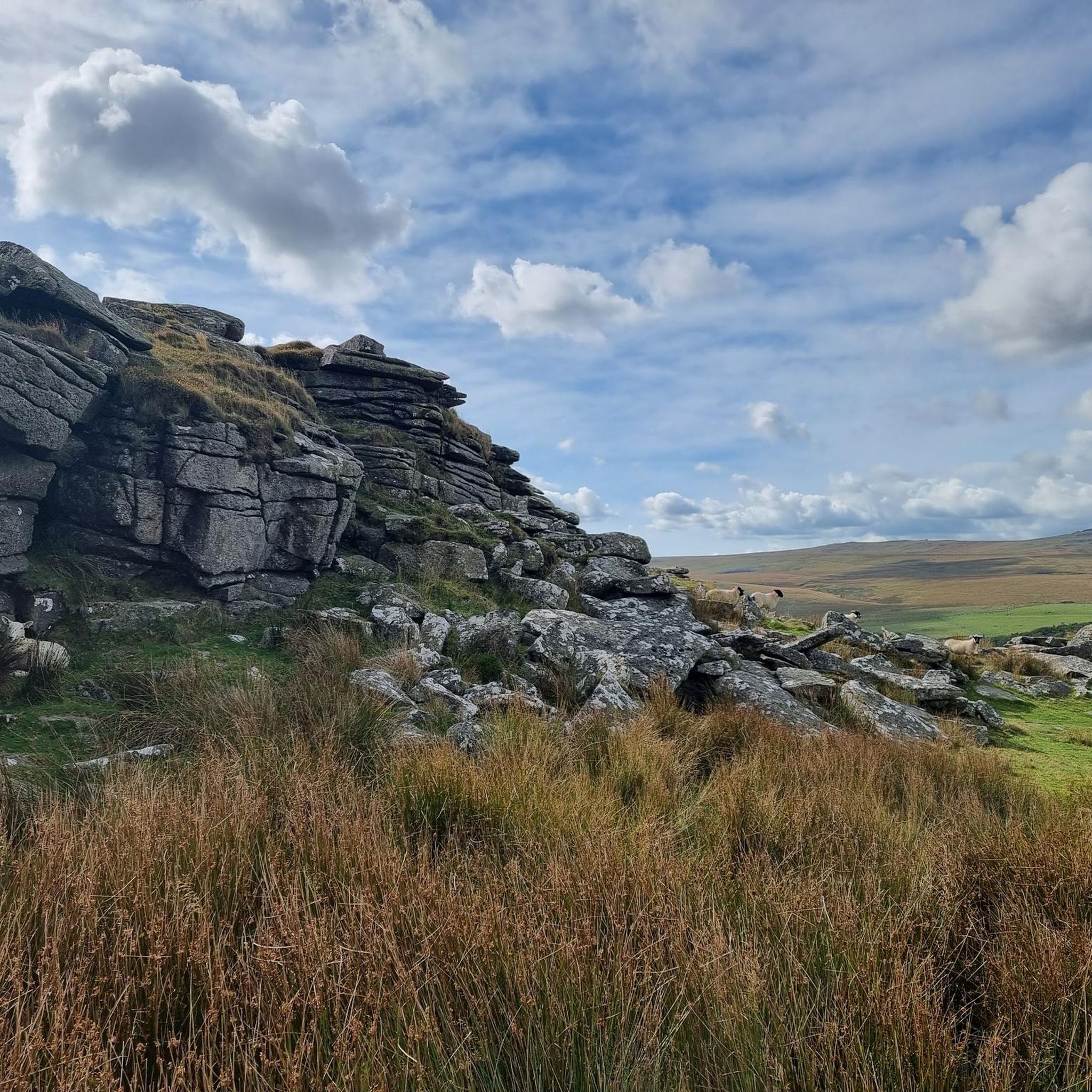
Tips from the Community

Recently resurfaced (8th April 2026) with hard pack, replacing the hard going big loose stones.
0
0


Sticklepath stores and cafe. You can sit outside with your bike and watch the world go by. Home made cakes were ridiculously cheap, too, and happy to top up water bottles 🙂
0
0

The ever so slightly smaller summit of High Willhays, Yes Tor feels grander due to the large granite outcrop. Standing beside the triangulation point atop of Yes Tor offers beautiful views in all directions. A must climb if hiking with the Meldon area.
0
0
Highest point of Devon and Southern England at 621m, accesible form various routes within the area. Although not as grand or striking as other Tors in the area such as Yes, Great Links or West Mills it offers beautiful 360 degree views in all directions.
0
0


At 564 metres (1,850 ft), Okement Hill is one of the higher points you can easily access on Northern Dartmoor. The MOD trails around this area allow good access to some of the higher rocky tors. Enjoy the amazing views northwest towards Yes Tor, southeast towards Hangingstone Hill and in all other directions across the moor.
0
0
Frequently Asked Questions
How many running routes are available around South Tawton?
South Tawton offers a wide selection of running routes, with over 200 trails recorded on komoot. These range in difficulty from easy paths to challenging long-distance runs, providing diverse options for all fitness levels.
What makes jogging in South Tawton unique?
Jogging in South Tawton provides access to the northern fringes of Dartmoor National Park, offering a unique blend of open moorland, distinctive granite tors, and scenic river valleys. You'll find varied terrain, from gentle riverside paths to challenging ascents with panoramic views, making each run a distinct experience.
What do other runners think about the trails in South Tawton?
The running trails around South Tawton are highly regarded by the komoot community, holding an average rating of 4.6 stars from more than 20 reviews. Over 2,400 runners have explored the area, often praising the diverse landscapes and the sense of adventure found on the moorland paths.
Are there easy running routes suitable for beginners in South Tawton?
Yes, there are several easy running routes perfect for beginners. The area features 14 easy trails, many of which follow gentler gradients along river valleys or through local woodlands. The Sticklepath Store & Tea Room – Sticklepath Village Centre loop from South Tawton is a moderate option that offers a relatively gentle run through the village surroundings.
Are there challenging running trails for experienced runners?
Absolutely. For experienced runners seeking a challenge, South Tawton provides 69 difficult routes. The Yes Tor summit – High Willhays summit loop from Sticklepath is a demanding 23.1-mile path that ascends to the highest points on Dartmoor, offering extensive panoramic views and a significant test of endurance.
What kind of terrain can I expect on the jogging trails?
You can expect a variety of terrains, including vast open moorland, paths around granite tors, and trails winding through river valleys and woodlands. Some routes, like the Winter Tor – Oke Tor loop from Belstone, showcase the open moorland and tors, while others offer gravel riverside paths, such as those near Fingle Bridge.
Are there circular running routes in the South Tawton area?
Yes, many running routes in the South Tawton area are circular, allowing you to start and finish at the same point. The local Parish Council has even published leaflets detailing several mapped circular walks, many starting from South Zeal, which are suitable for jogging. The Oke Tor – Cullever Steps Ford loop from Belstone is another popular circular option through Dartmoor's rugged landscape.
What scenic views or landmarks can I see while running?
While running in South Tawton, you can enjoy breathtaking views across Dartmoor's open moorland and encounter iconic granite tors. Notable landmarks include Yes Tor summit and High Willhays summit. You might also pass by historical sites like Bronze Age settlements and ancient cairns, particularly on the southern slopes of Cosdon Beacon.
Are there any routes that pass by water features like lakes or rivers?
Yes, several routes incorporate water features. Trails often follow river valleys, such as those alongside the River Taw and River Teign. You can also find routes near reservoirs and lakes like Meldon Quarry Lake or Meldon Reservoir, offering scenic riverside or lakeside running experiences.
Can I bring my dog on the running trails in South Tawton?
Many trails within Dartmoor National Park are dog-friendly, but it's crucial to keep dogs on a lead, especially during lambing season (March-July) and near livestock. Always follow the Dartmoor National Park guidelines for responsible dog walking to protect wildlife and farm animals.
Are there family-friendly jogging options in the area?
Yes, South Tawton offers family-friendly jogging options, particularly on the less strenuous paths. The local village walks, often circular and starting from South Zeal, provide gentler routes through woodlands and meadows that are suitable for families. These routes are generally well-defined and offer a pleasant experience for all ages.
Where can I find parking for the running routes?
Parking is generally available at key access points around Dartmoor National Park and in villages like South Tawton, Sticklepath, and Belstone. Specific car parks are often signposted near popular trailheads. It's advisable to check local signage for any parking restrictions or fees.
How accessible are the running trails by public transport?
While some villages like South Tawton and Sticklepath have limited bus services, many of the more remote Dartmoor trails are best accessed by car. Public transport options might require some planning, so checking local bus schedules in advance is recommended if you plan to rely on it for trail access.
Are there any running routes that include a cafe or pub stop?
Yes, some routes pass through or near villages where you can find cafes or pubs. For example, the Finch Foundry – Sticklepath Village Centre loop from Sticklepath takes you through Sticklepath, where you can find local amenities for a refreshment stop.
Most popular routes around South Tawton
Most popular attractions around South Tawton

Get inspired with the komoot mobile app


Explore more
Browse the best Running Trails & Routes in other regions.
